
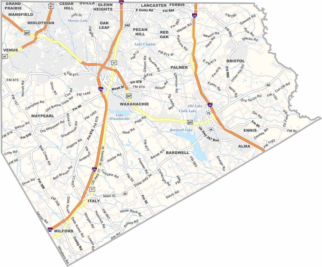
Ellis County is located just south of Dallas. It offers a taste of small-town Texas with a side of big-city convenience. Waxahachie serves as the county seat and is known for its stunning courthouse, which has become a favorite film location.
The county bursts with color each spring as bluebonnets carpet the fields. It’s quite a sight. Agriculture is still important here. Cotton was once king, but today the area has a mix of crops and cattle.
The county is growing quickly, with new neighborhoods springing up. But there’s still plenty of open space. Old-timers and newcomers mix and mingle, making it a place in transition that holds onto its roots while embracing change.
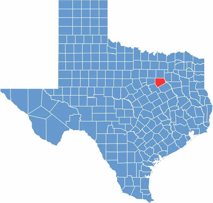
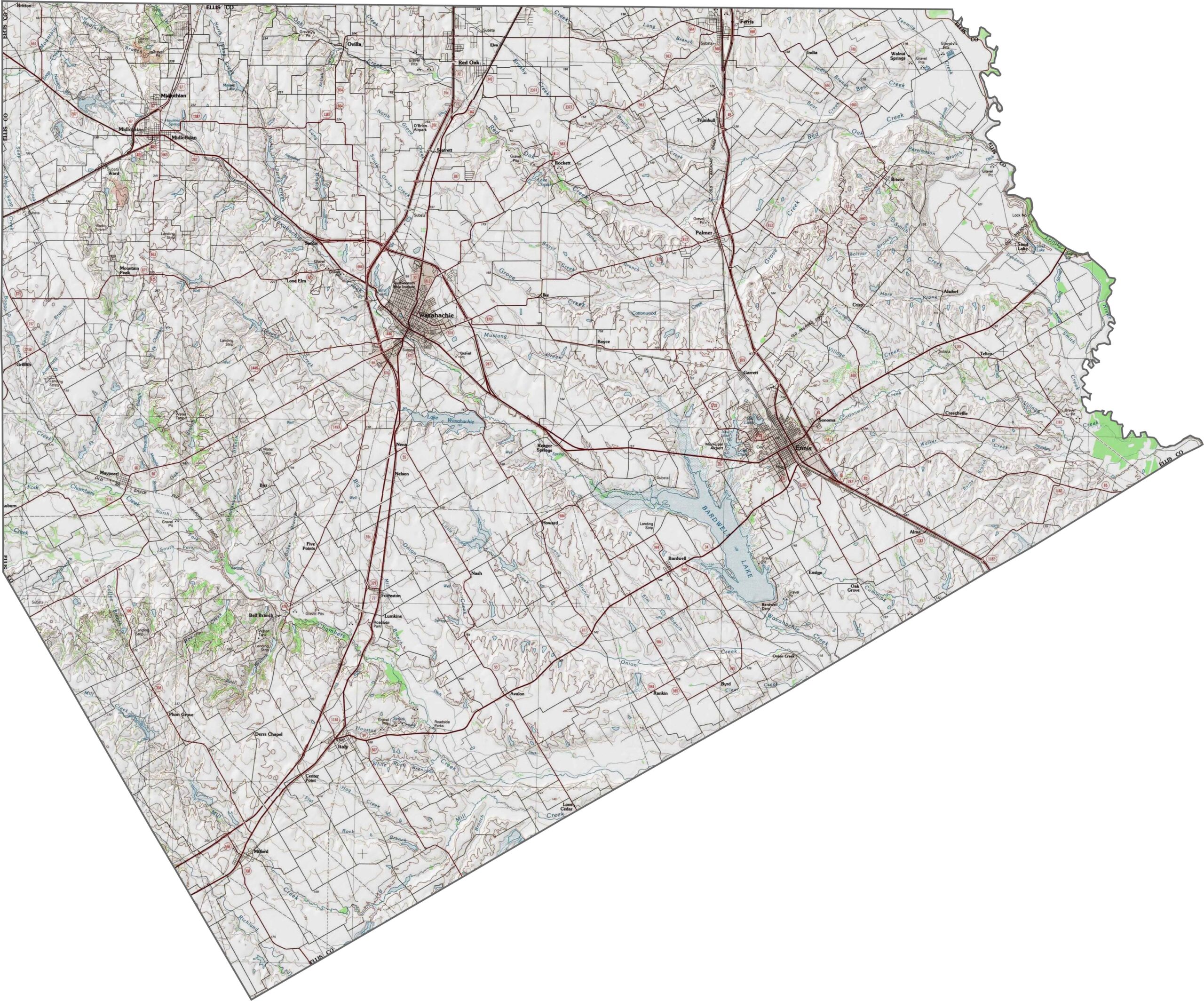
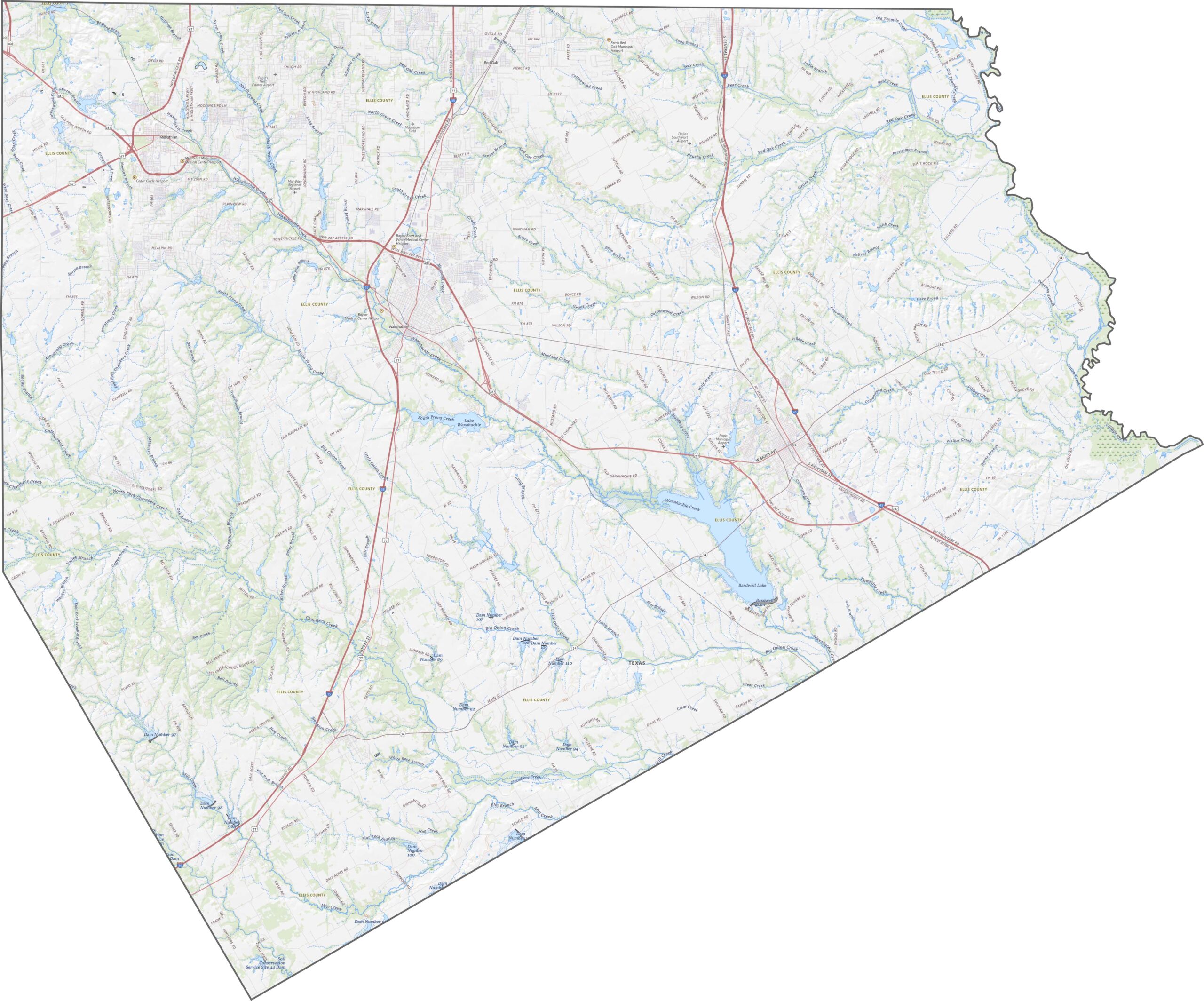
The land here rolls gently. One defining feature is the Waxahachie Creek basin, which carves a shallow path through the center. Elevation rises slightly in the west. It’s not flat, but the changes are smooth.
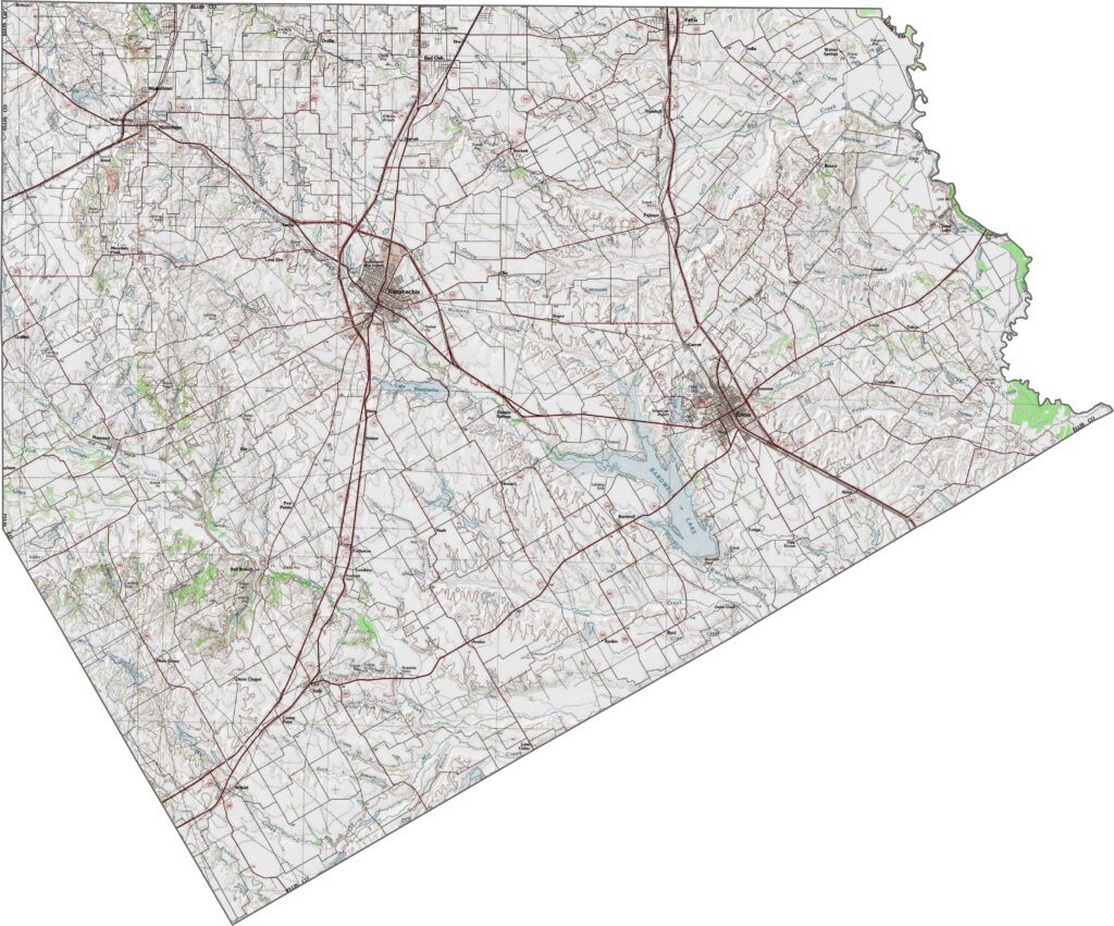
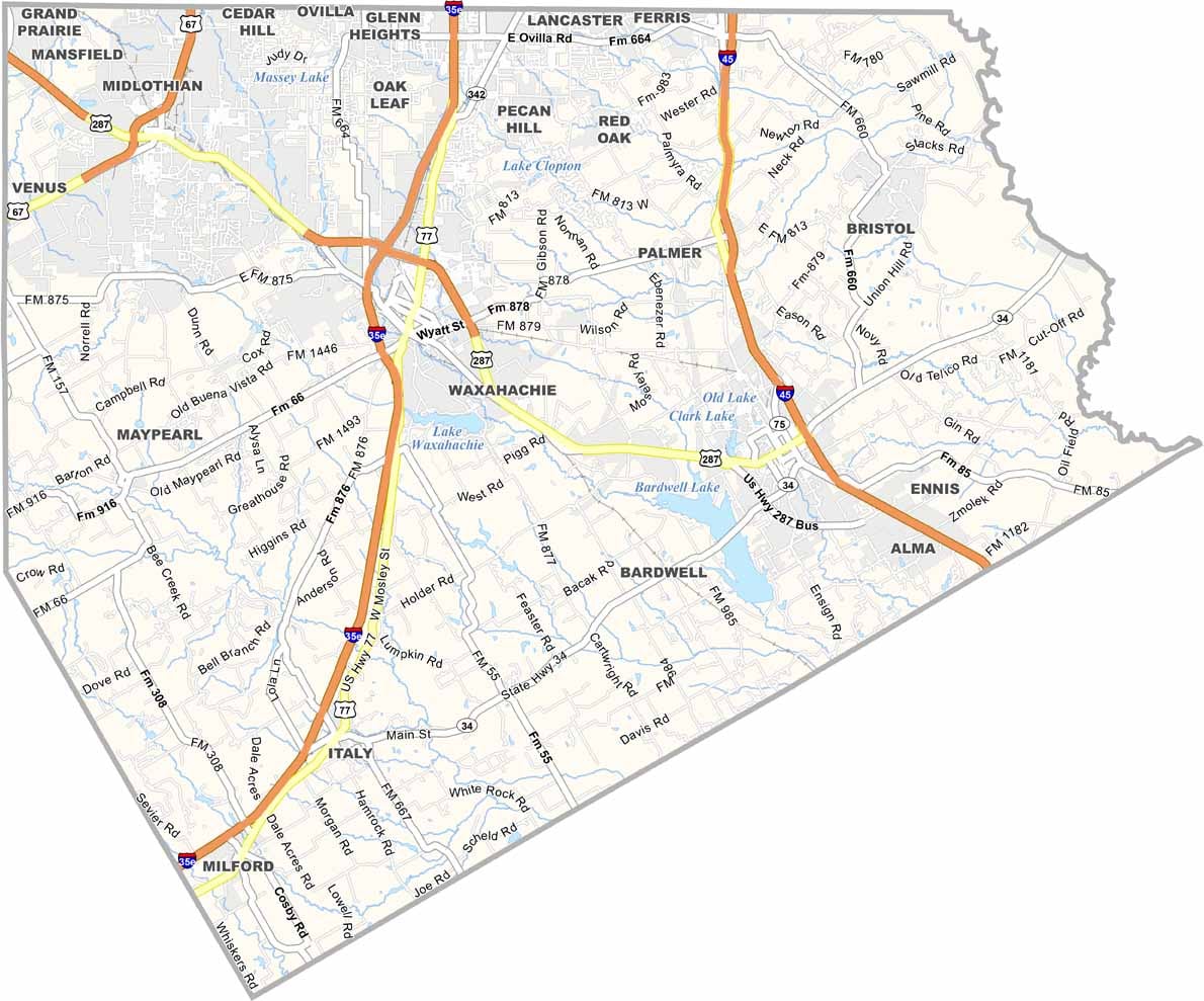
Ellis County’s roads do a bit of everything. They funnel traffic toward Dallas, loop around growing suburbs, and stretch across fields. The main highways are I-35E, I-45, and U.S. Highway 67. Use our zoom tool to explore every intersection.
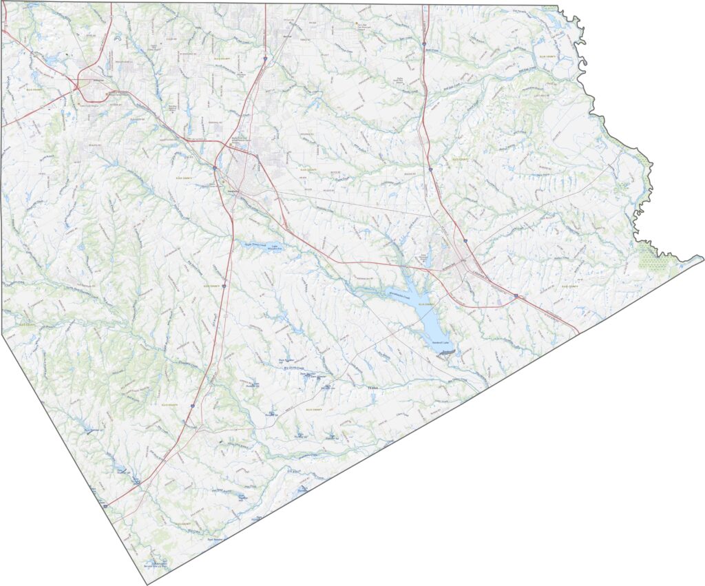
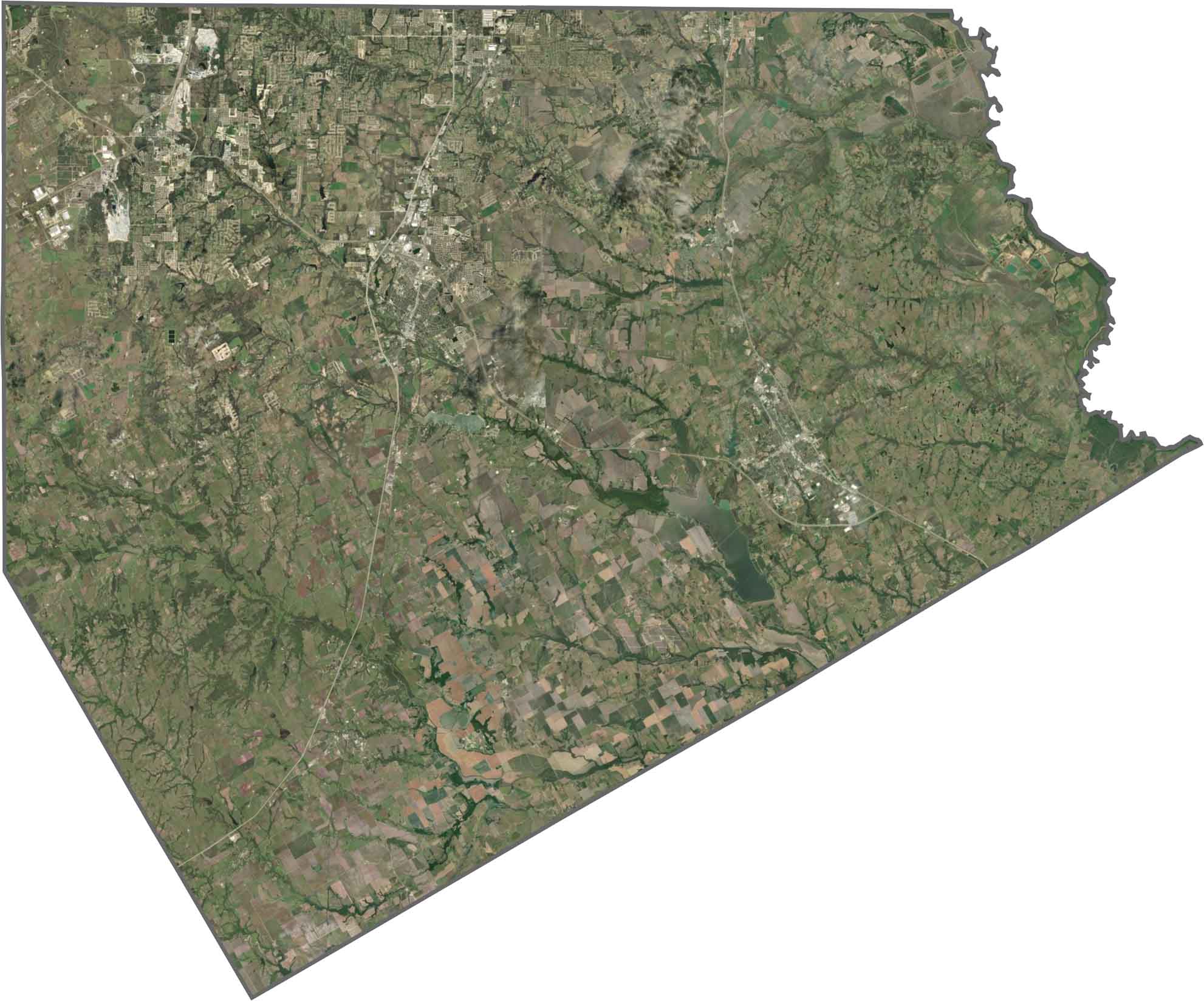
The mix of land use in Ellis County is easy to spot from above. Pockets of development gather near highways, while fields and pastures stretch out in every direction. Bardwell Lake is the largest reservoir in the county.
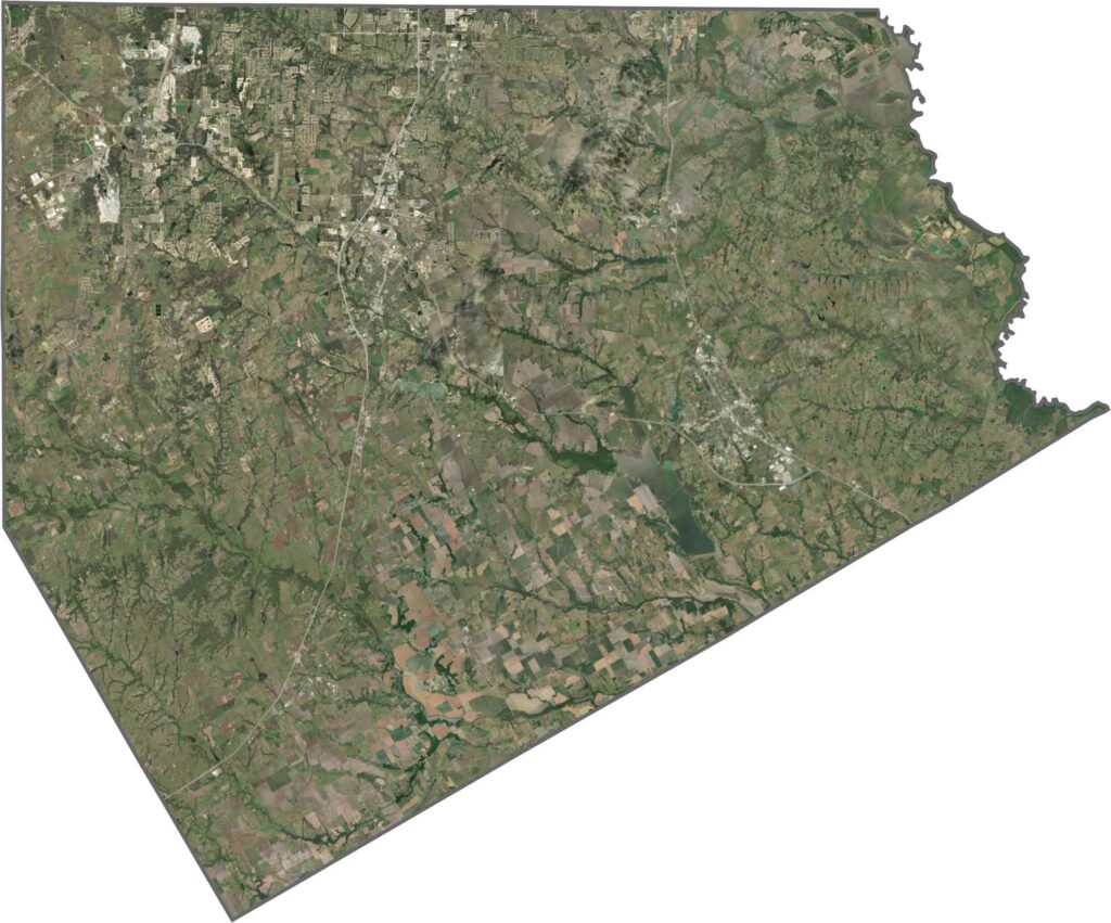
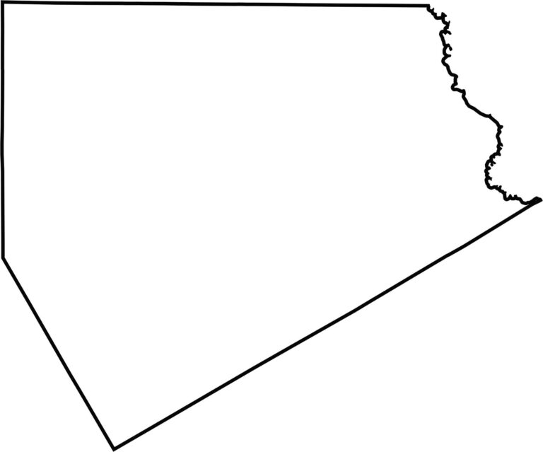
Ellis County has a somewhat triangular shape. The Trinity River forms the eastern border. It doesn’t border another state, but it hugs the southern edge of the Dallas area.








Discover all 254 legendary Texas county maps, covering the Lone Star State from the Panhandle to the Rio Grande. That means more rodeos, honky-tonk, and Texas BBQ.