
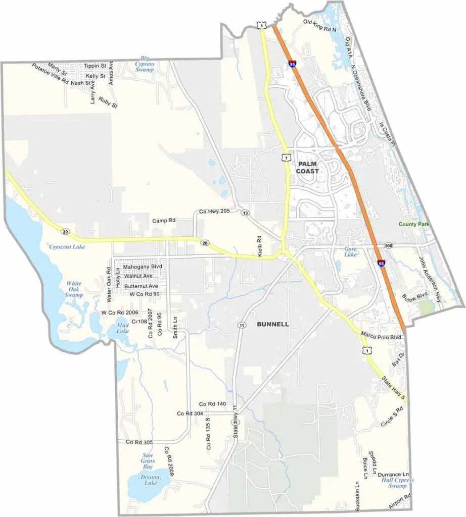
Flagler County stretches along Florida’s Northeast Coast, offering a relaxed coastal lifestyle despite its continued growth. The area provides a quieter alternative to some of Florida’s busier tourist destinations, making it appealing to those looking for coastal living without heavy tourism.
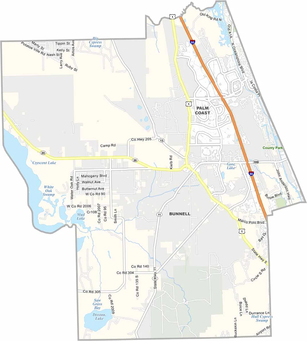
The county is home to a mix of retirees and young families, with Palm Coast serving as its main city. Palm Coast developed from a planned community and has grown into the county’s primary population center. Marineland, one of Florida’s older attractions, continues to draw curious visitors interested in the area’s history.
Flagler County beaches are generally less crowded than those farther south. The scenic A1A highway runs along much of the coastline, offering easy access to ocean views. Fishing is popular in both the Intracoastal Waterway and Atlantic Ocean, while the western part of the county provides opportunities for hiking and exploring nature trails.
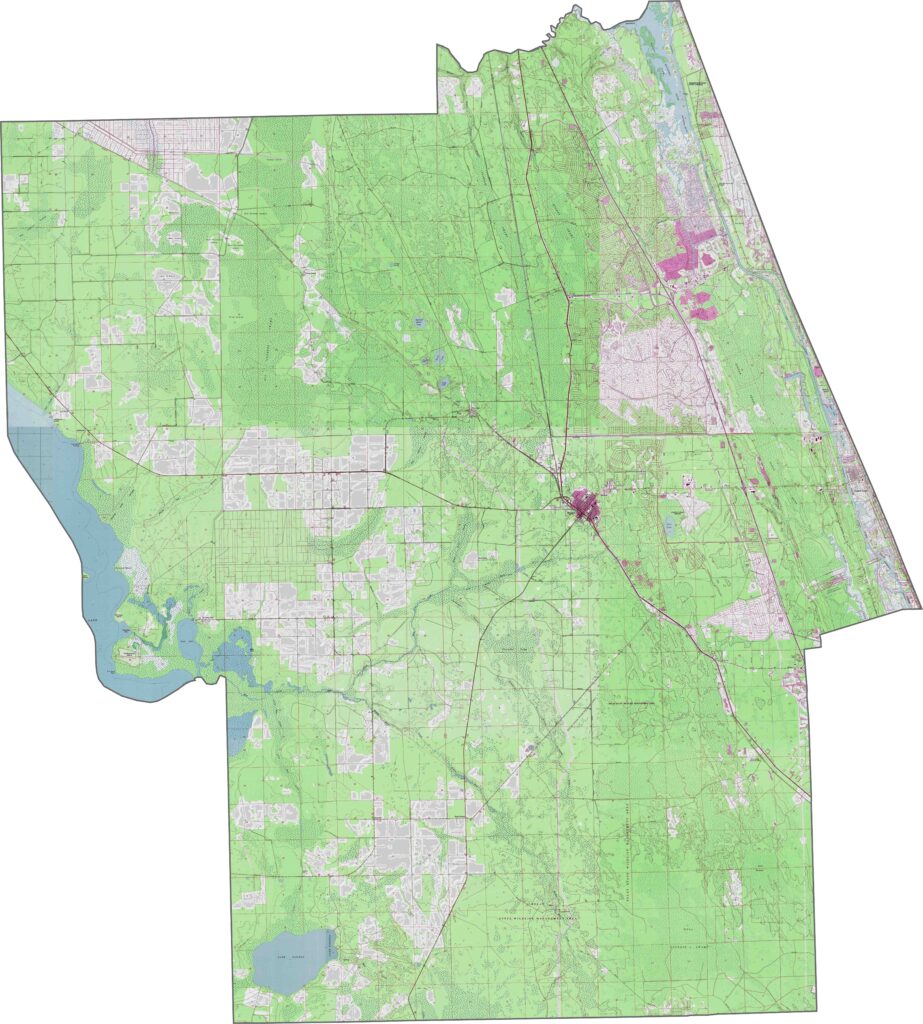
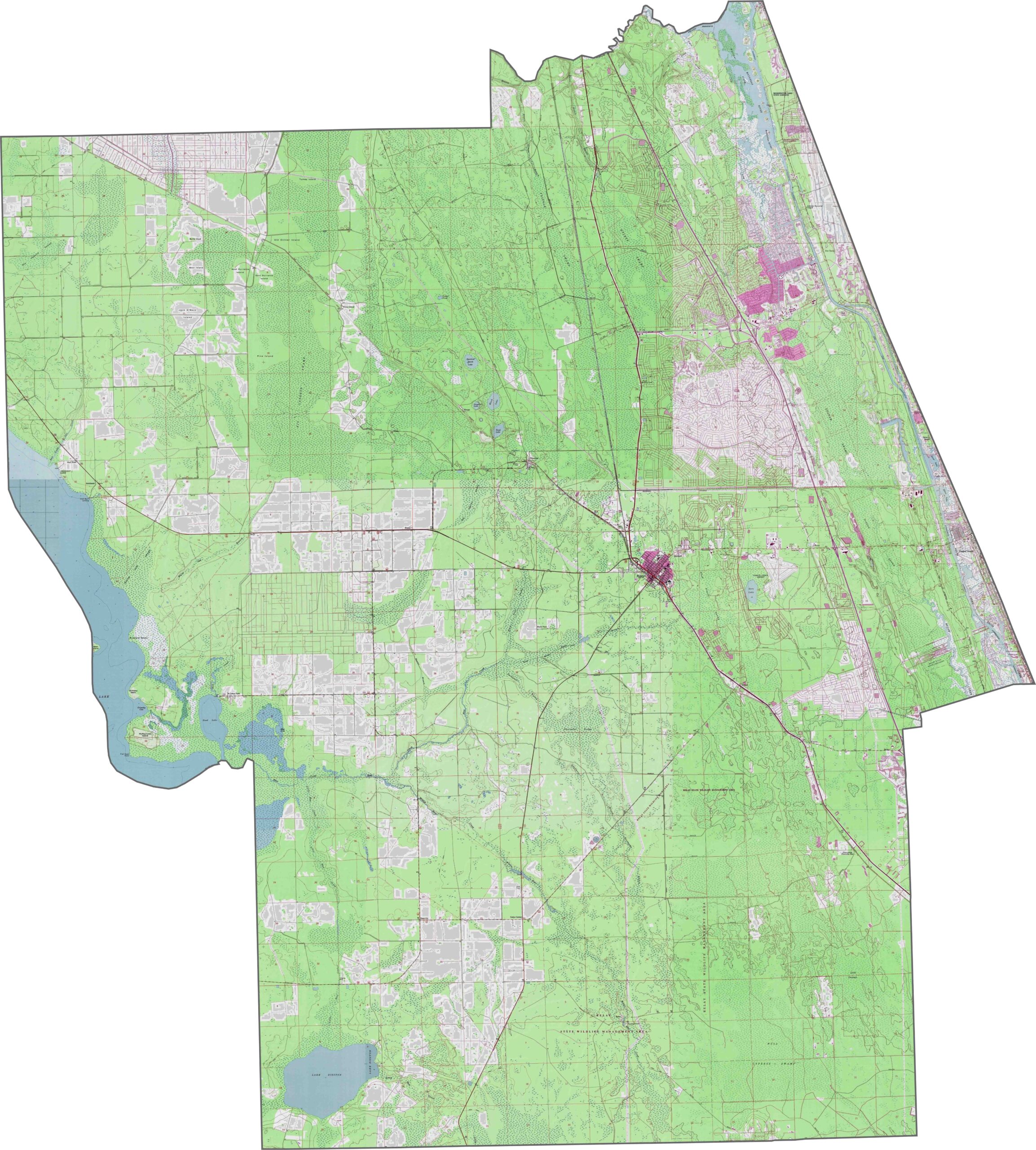
Flagler County topographic map highlights its Atlantic coastline, Intracoastal Waterway, and urban areas, with the planned street grid of Palm Coast clearly visible. Our zoom tool lets you explore features such as Bulow Creek State Park and detailed elevation contours across the county.
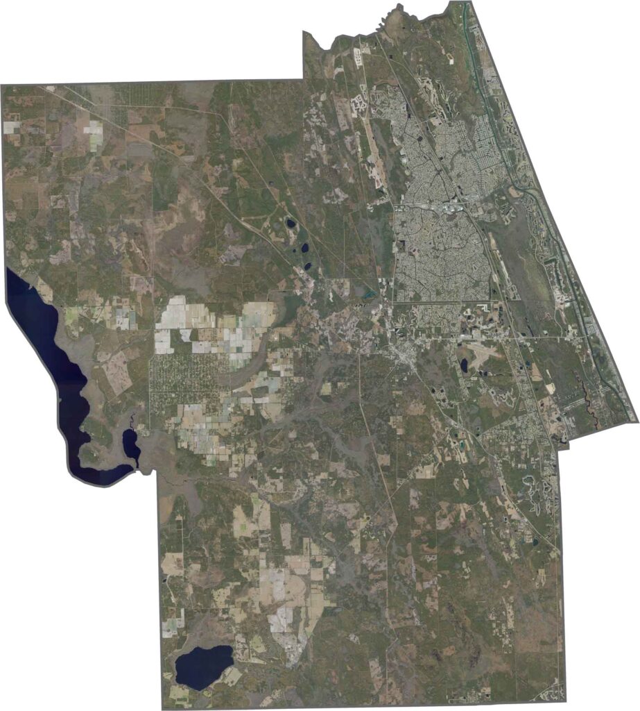
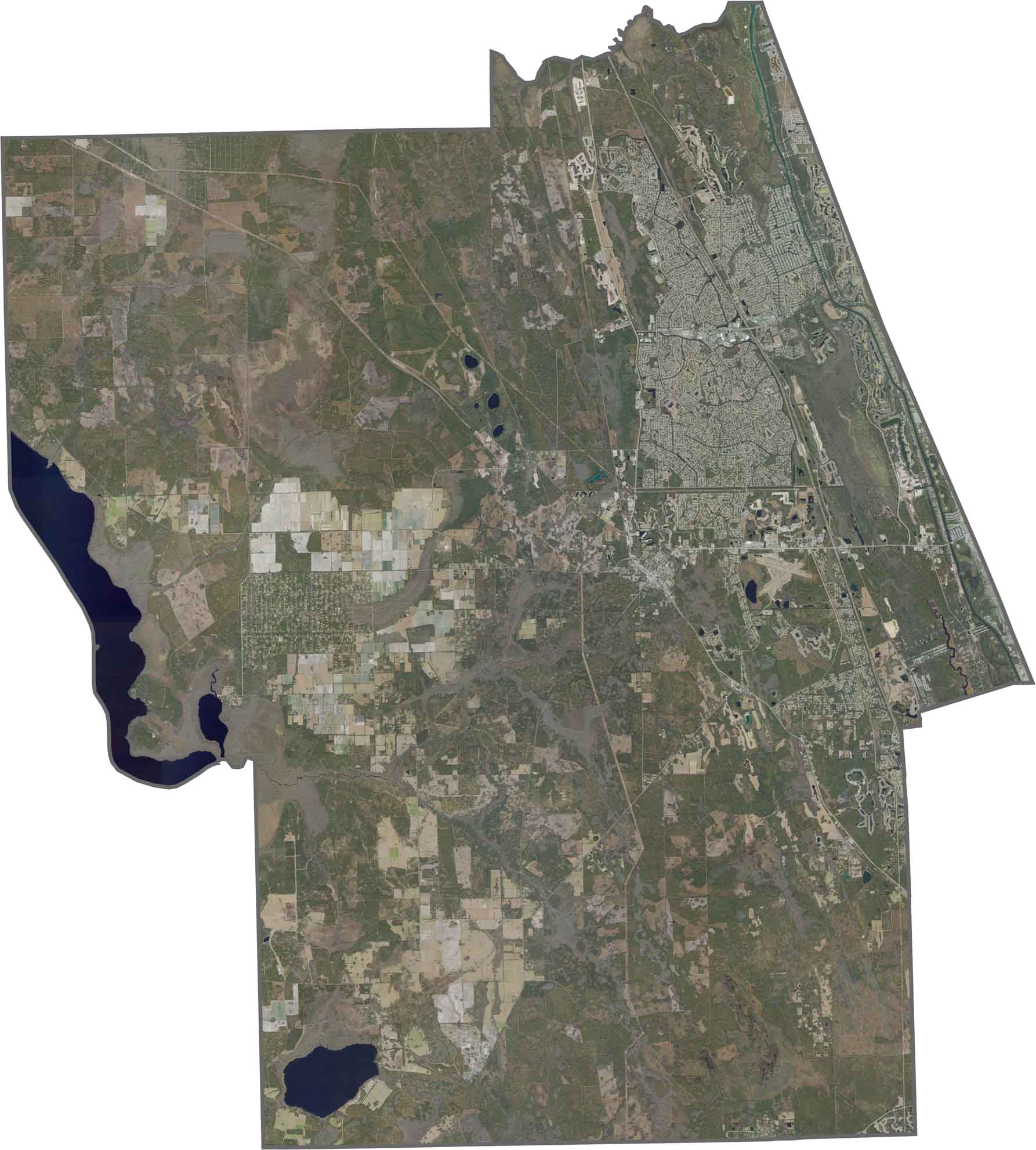
Our Flagler County satellite map reveals extensive coastal marshes and inland flatwoods. Palm Coast, the county’s largest city, stretches along the coast, while the Matanzas River expands into a broad estuary near the southern boundary.
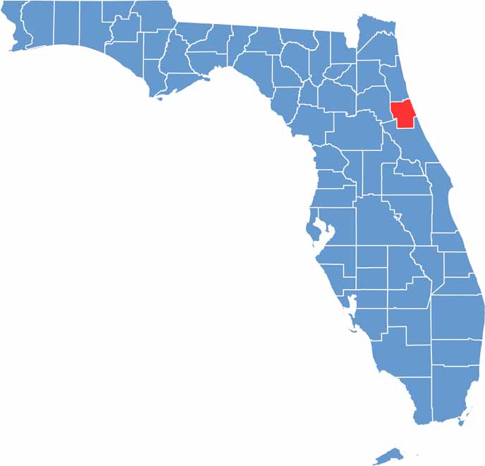
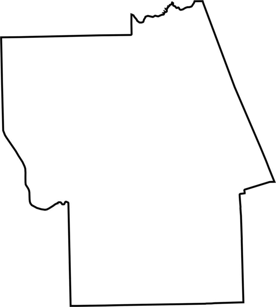
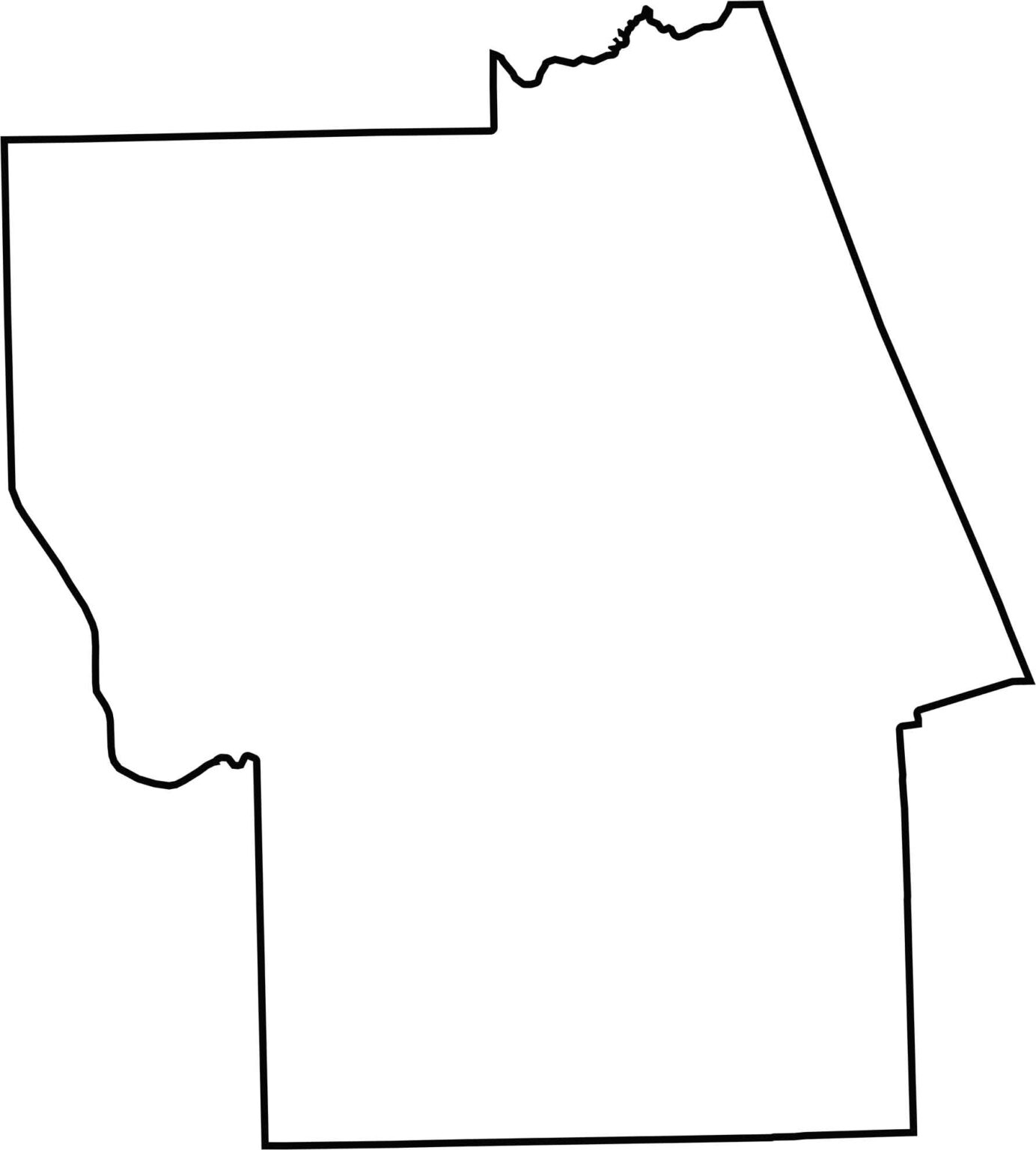
Our Flagler County outline map shows the county’s distinctive rectangular shape in the south. The Atlantic Ocean forms the eastern boundary, while the western edge follows a relatively straight north-south boundary with Putnam County.







Looking for a county map of Florida? Our Florida County Map breaks down all 67 counties across the Sunshine State. Explore Florida through detailed topographic, satellite, and outline maps to better understand its geography, landscapes, and county boundaries.