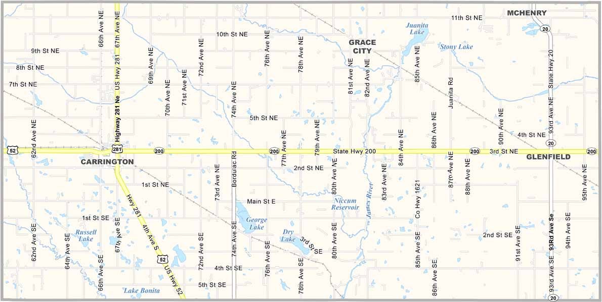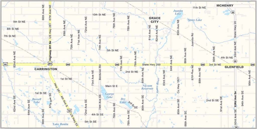
Foster County Map, North Dakota

Foster County, North Dakota

Foster County sits right in the middle of eastern North Dakota, a patchwork of farms and small towns in a nutshell. Carrington is the largest community and the county seat.

Agriculture is king here, with wheat, soybeans, and sunflowers dominating the landscape. The county is named after George I. Foster, a pioneer and member of the Territorial legislature.

Pipestem Creek meanders through the county as a tributary of the mighty James River. People here are proud of their pioneer heritage, and you can still see it in the way they tackle challenges head-on.
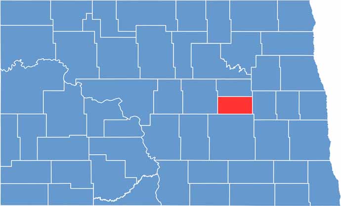
Foster County location map of North Dakota
CategoryDetails
County NameFoster County
County SeatCarrington
EtymologyNamed after George I. Foster, a pioneer and member of the Territorial legislature
Cities, Towns, and CommunitiesCarrington, New Rockford, Grace City
Interstates and HighwaysNorth Dakota Highway 1, North Dakota Highway 200
FIPS Code38-031
Total Area (Land and Water)1,407 square miles (land and water)
Adjacent Counties (and Direction)Eddy County (North), Griggs County (East), Stutsman County (South), Wells County (West)
Time ZoneCentral Time Zone
StateNorth Dakota
Coordinates47.4784° N, 99.1263° W
Major LandmarksCarrington City Park, Foster County Historical Museum
PopulationApproximately 3,200
Scroll to Top