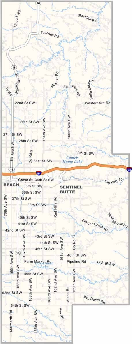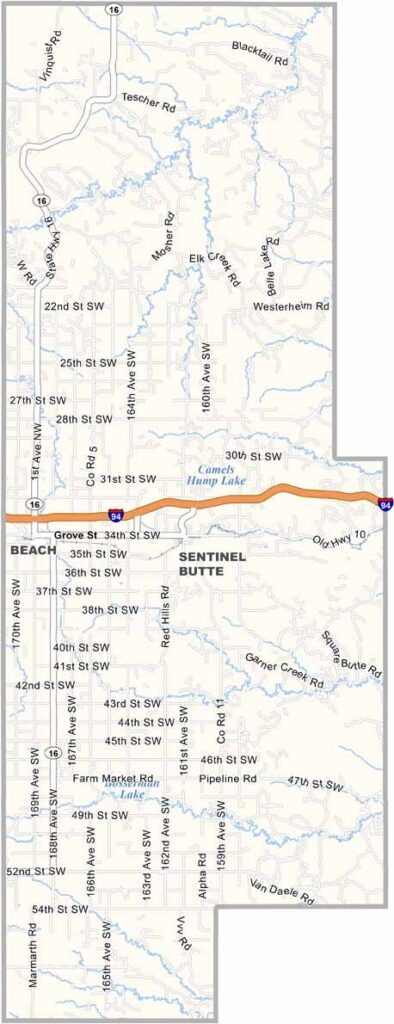
Golden Valley County Map, North Dakota

Golden Valley County, North Dakota

Golden Valley County has some serious badlands terrain. Beach, the county seat, sits right on the Montana border and is a small place with only about 1,000 folks.

Theodore Roosevelt National Park's South Unit lies just to the east, and you can bet Teddy spent some time in these parts. Sentinel Butte, a local landmark, towers over the surrounding prairie.

Ranching is big business here, and so is farming, when the land allows it. Oil has brought changes in recent years, as the county is part of the Bakken formation. Golden Valley is aptly named, since the prairie grasses turn a beautiful golden hue in late summer. It's a sight to see.
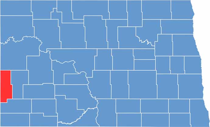
Golden Valley County location map of North Dakota
CategoryDetails
County NameGolden Valley County
County SeatBeach
EtymologyNamed for the Golden Valley Land and Cattle Company
Cities, Towns, and CommunitiesBeach, Golva, Sentinel Butte, Fryburg
Interstates and HighwaysNorth Dakota Highway 85, North Dakota Highway 16
FIPS Code38-033
Total Area (Land and Water)1,694 square miles (land and water)
Adjacent Counties (and Direction)McKenzie County (North), Billings County (East), Slope County (South), Fallon County, Montana (Southwest), Wibaux County, Montana (West)
Time ZoneMountain Time Zone
StateNorth Dakota
Coordinates46.7781° N, 103.5690° W
Major LandmarksTheodore Roosevelt National Park, Golden Valley County Fairgrounds
PopulationApproximately 1,800
Scroll to Top