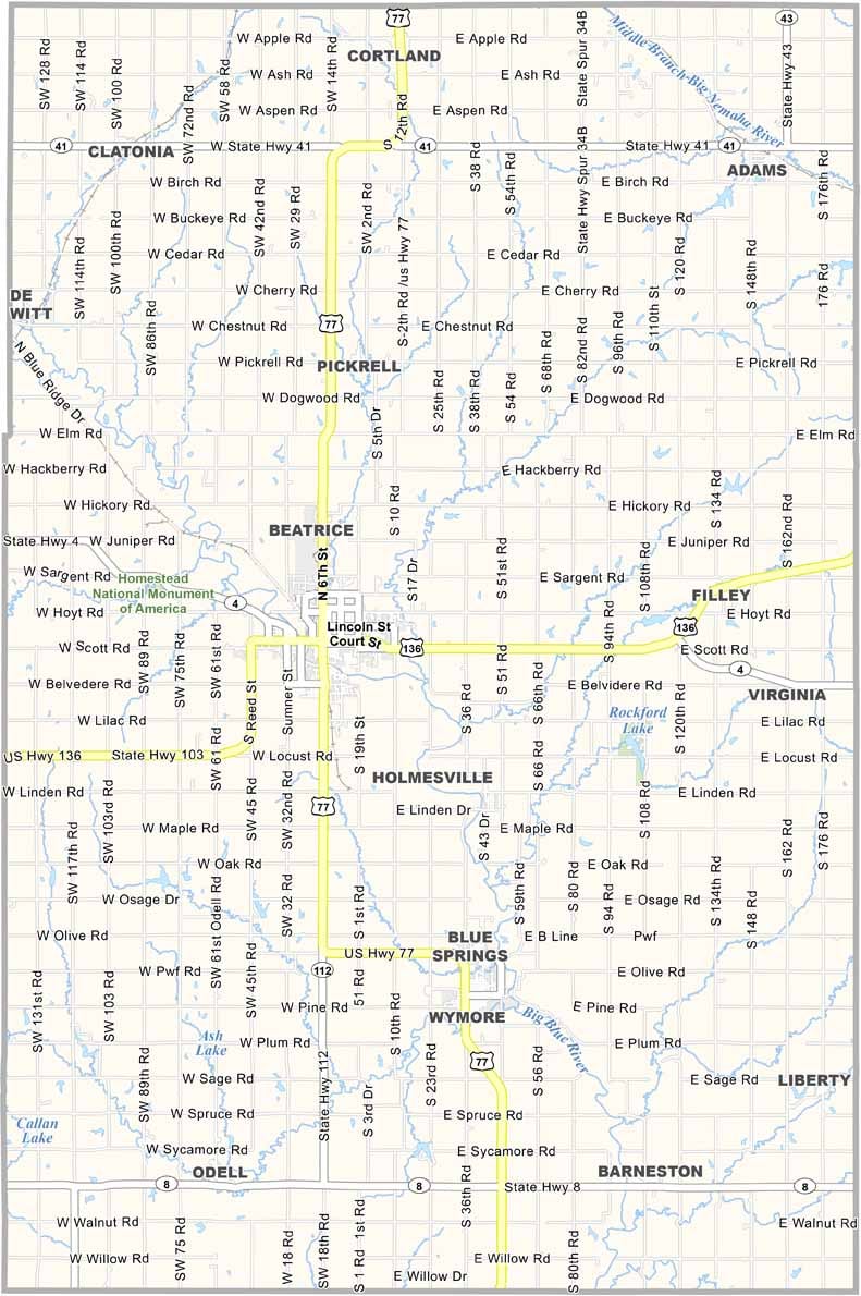
Gage County Map, Nebraska

Gage County, Nebraska

Gage County is located in southeastern Nebraska along the Kansas border. Beatrice serves as the county seat and is the main hub of the area, offering just enough city amenities to keep things interesting.

Homestead National Historical Park, located west of Beatrice, is a popular attraction. It tells the story of the Homestead Act and the people who settled the land.

But Gage County isn’t stuck in the past. The county has a healthy mix of agriculture and industry. The Blue River winds through the area, adding scenic views to the surrounding prairie landscape.
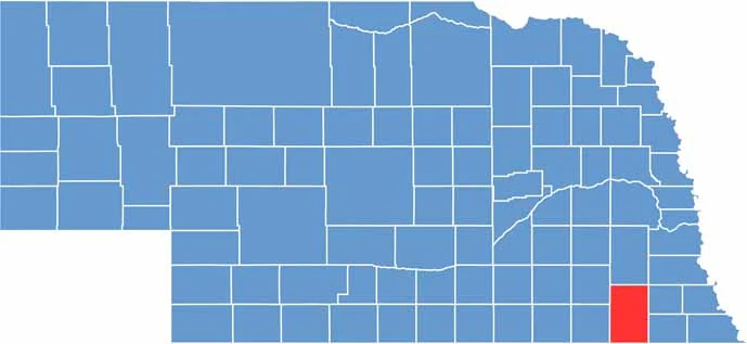

Gage County location map of Nebraska
CategoryDetails
County NameGage County
County SeatBeatrice
EtymologyNamed after William D. Gage, a pioneer settler
Cities, Towns, and CommunitiesBeatrice, Wymore, Blue Springs, Cortland, Barneston, Liberty, Adams, Filley, Odell
Interstates and HighwaysUS 77, NE 4, NE 8, NE 112
FIPS Code31-067
Total Area (Land and Water)860 square miles (Land: 851 sq mi, Water: 9 sq mi)
Adjacent Counties (and Direction)Lancaster County (North), Otoe County (Northeast), Johnson County (Northeast), Pawnee County (East), Marshall County, Kansas (Southeast), Washington County, Kansas (Southwest), Jefferson County (West), Saline County (Northwest)
Time ZoneCentral Time Zone (CT)
StateNebraska
Coordinates40.2484° N, 96.6846° W
Major LandmarksHomestead National Historical Park, Beatrice Speedway, Chautauqua Park
PopulationApproximately 21,800
Scroll to Top