
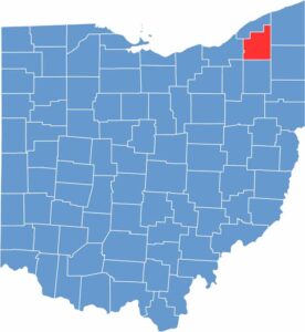
If you’re looking for a taste of rural Ohio near Cleveland, look no further than Geauga County. The county has plenty of parks and nature preserves, making it a great place for hiking and wildlife watching.
Geauga County is famous for its maple syrup production and is one of Ohio’s top producers. Chardon serves as the county seat and hosts its annual Maple Festival, the oldest of its kind in the United States. Needless to say, it’s a sweet celebration of local culture. Pardon the pun.
Punderson State Park is a year-round destination, offering sledding and cross-country skiing in winter. The Amish community also has a strong presence here. Geauga County’s location along the Grand River Valley makes it an ideal area for wineries.
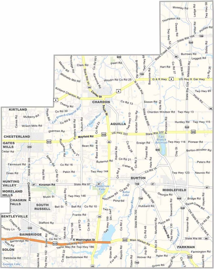
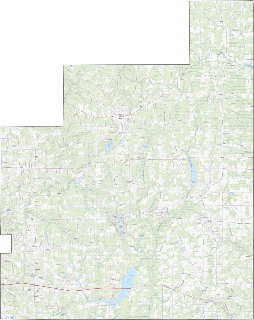
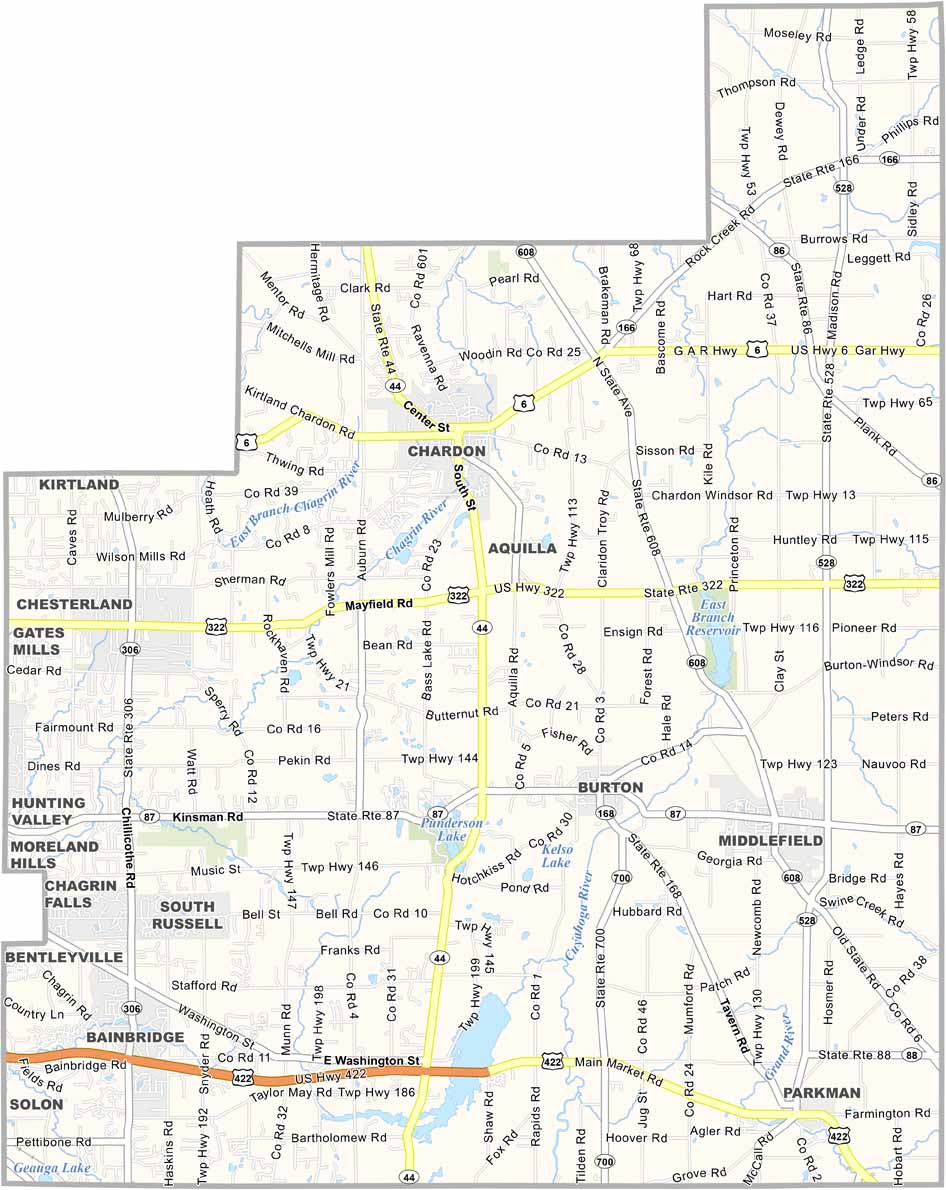
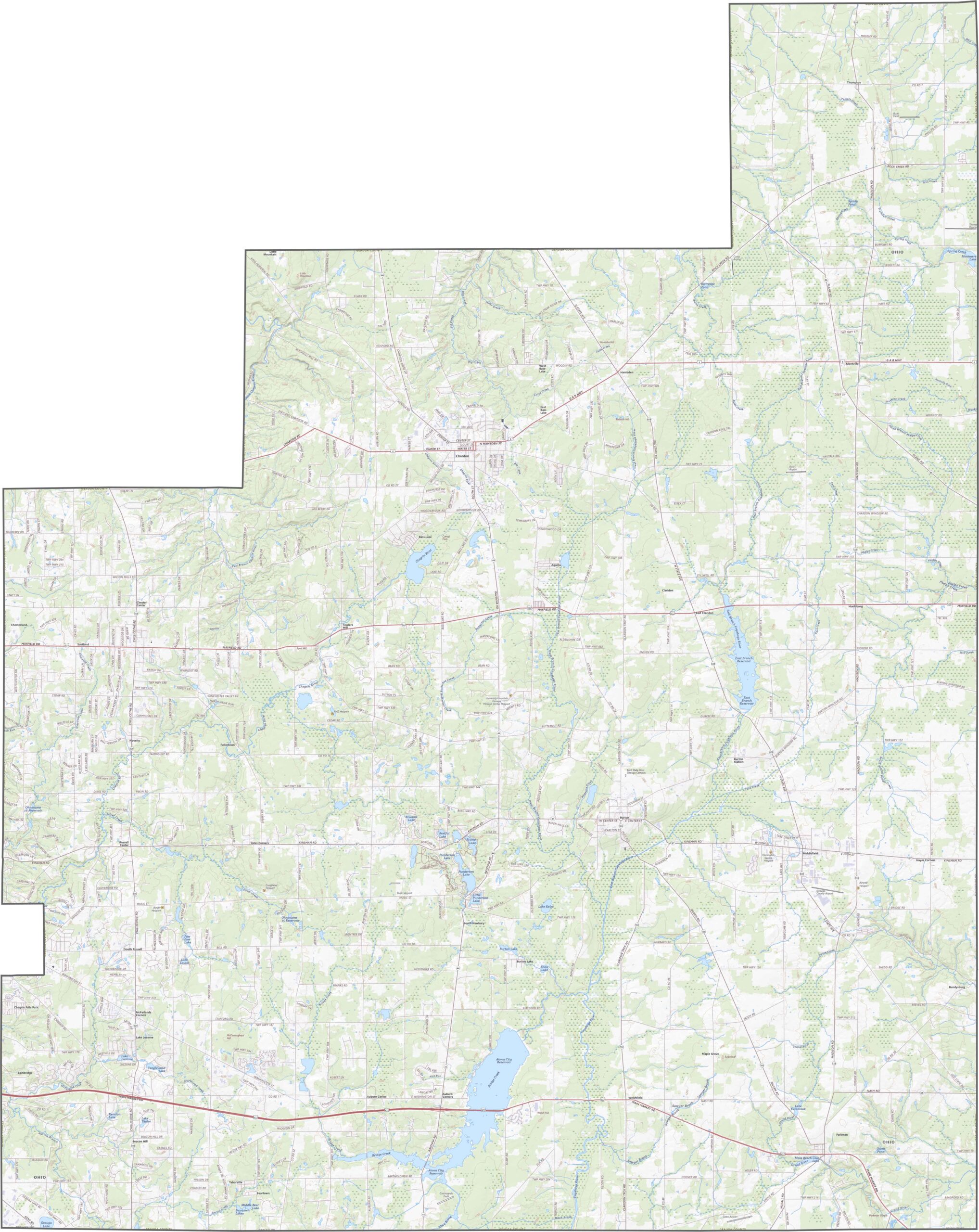
No interstates run through Geauga County. Instead, U.S. Routes 322 and 6, along with State Route 44, serve as the main transportation routes. The roads wind and curve with the terrain but remain well connected. Here, the focus is less on speed and more on enjoying the scenery. Use our zoom tool below to explore every bend and turn.
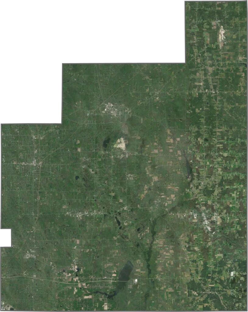
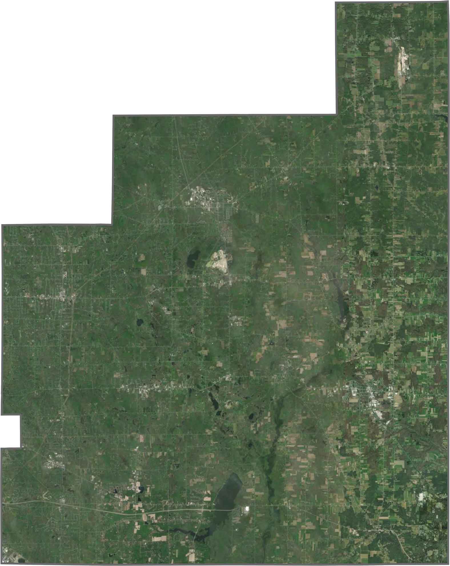
From above, Geauga County appears mostly green, with dense forests covering much of the central and southern areas. Towns such as Chardon stand out but occupy relatively little land. Farmland breaks up the wooded landscape, while wetlands and small lakes are scattered throughout the county.
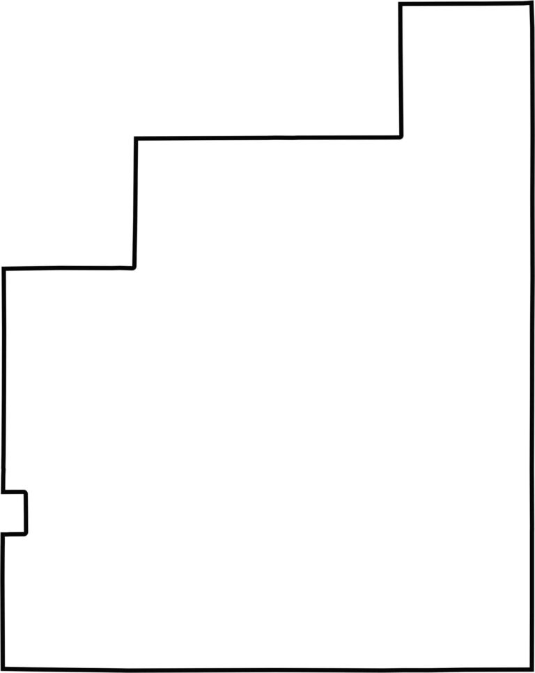
Geauga County has an uneven shape that resembles a slightly tilted wedge. Its boundaries are mostly straight, with occasional dips and bulges. No state borders or major rivers define the county, and most of its irregular boundary follows established survey lines.








Forget the coast. Ohio’s 88 counties are where everyday America comes alive. No pretense, no postcard perfection—just hardworking towns and quiet backroads that grow on you. This is the Midwest without the filter.