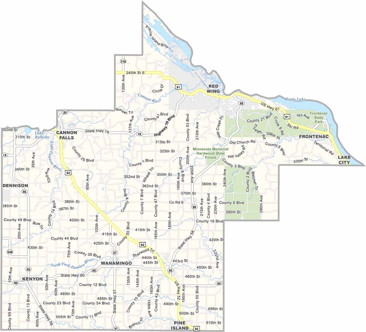
Goodhue County Map, Minnesota

Goodhue County, Minnesota

Goodhue County sits in southeastern Minnesota, where the Mississippi River carves out some of the state's most stunning scenery. Red Wing is the star of the show here, a town full of old Victorian mansions and sweeping river views.

Barn Bluff looms over everything, so climb it if you've got the legs for it. The county also has a real thing for pottery. Cannon Falls is where you'll find the start of the Cannon Valley Trail.

The Welch area is big on skiing in winter and tubing down the Cannon River in summer. Agriculture is still king in the southern part of the county. And if you're into bird watching, Frontenac State Park is your spot, sitting right on a major flyway for bald eagles and waterfowl.
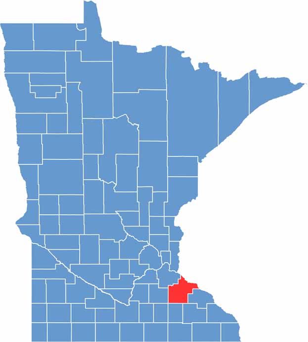

Goodhue County location map of Minnesota
CategoryDetails
County NameGoodhue County
County SeatRed Wing
PopulationApproximately 48,000
Cities, Towns, and CommunitiesRed Wing, Cannon Falls, Zumbrota, Pine Island, Kenyon, Goodhue, Wanamingo, Lake City
Interstates and HighwaysUS 52, US 61, MN 19, MN 58, MN 60
FIPS Code27-049
Total Area (Land and Water)780 square miles (Land: 757 sq mi, Water: 23 sq mi)
Adjacent Counties (and Direction)Pierce County, Wisconsin (North), Pepin County, Wisconsin (Northeast), Wabasha County (East), Olmsted County (Southeast), Dodge County (South), Rice County (West), Dakota County (Northwest)
Time ZoneCentral Time Zone (CT)
StateMinnesota
Coordinates44.4093° N, 92.7036° W
EtymologyNamed after James M. Goodhue, the first editor of the Minnesota Pioneer newspaper
Major LandmarksBarn Bluff, Frontenac State Park, Red Wing Shoe Company Museum, Cannon Valley Trail
Scroll to Top