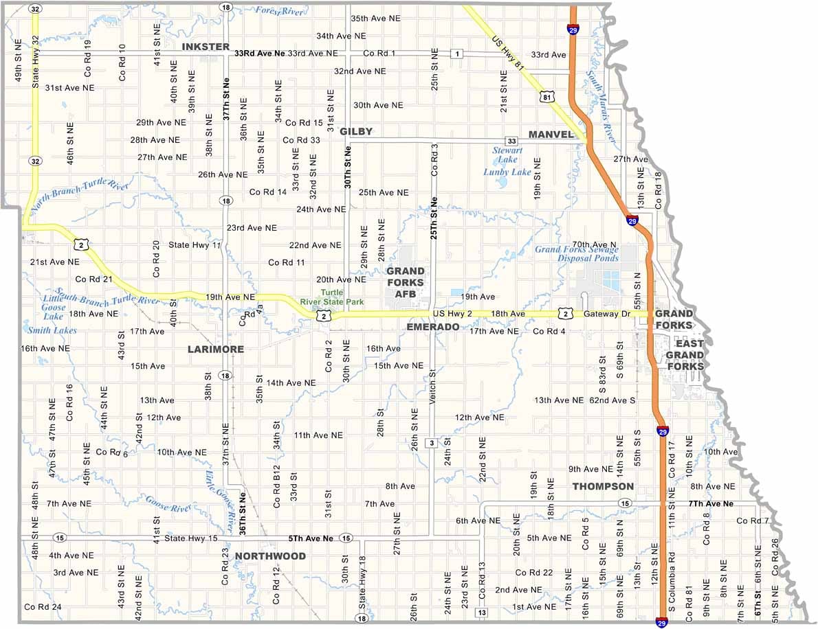
Grand Forks County Map, North Dakota

Grand Forks County, North Dakota

Grand Forks County hugs the Minnesota border in northeastern North Dakota. The city of Grand Forks is home to about 60,000 people, which accounts for most of the county's population.

The University of North Dakota, the state's oldest and largest university, gives the area a distinct college town vibe. The Red River forms the county's eastern border, though it has caused some major floods over the years.

Agriculture is still important here, and sugar beets are a big crop. The Grand Forks Air Force Base adds another dimension to the local economy, and shoppers from Winnipeg regularly visit as well. The county has a rich history, too, with Native Americans living here for thousands of years before European settlers arrived.
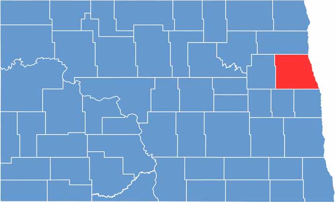
Grand Forks County location map of North Dakota
CategoryDetails
County NameGrand Forks County
County SeatGrand Forks
EtymologyNamed after the Grand Forks of the Red River
Cities, Towns, and CommunitiesGrand Forks, East Grand Forks, Larimore, Gilby
Interstates and HighwaysInterstate 29, U.S. Route 2, North Dakota Highway 18
FIPS Code38-035
Total Area (Land and Water)1,440 square miles (land and water)
Adjacent Counties (and Direction)Walsh County (North), Marshall County, Minnesota (Northeast), Polk County, Minnesota (East), Traill County (Southeast), Steele County (Southwest), Nelson County (West)
Time ZoneCentral Time Zone
StateNorth Dakota
Coordinates47.9292° N, 97.0354° W
Major LandmarksUniversity of North Dakota, Red River
PopulationApproximately 75,000
Scroll to Top