
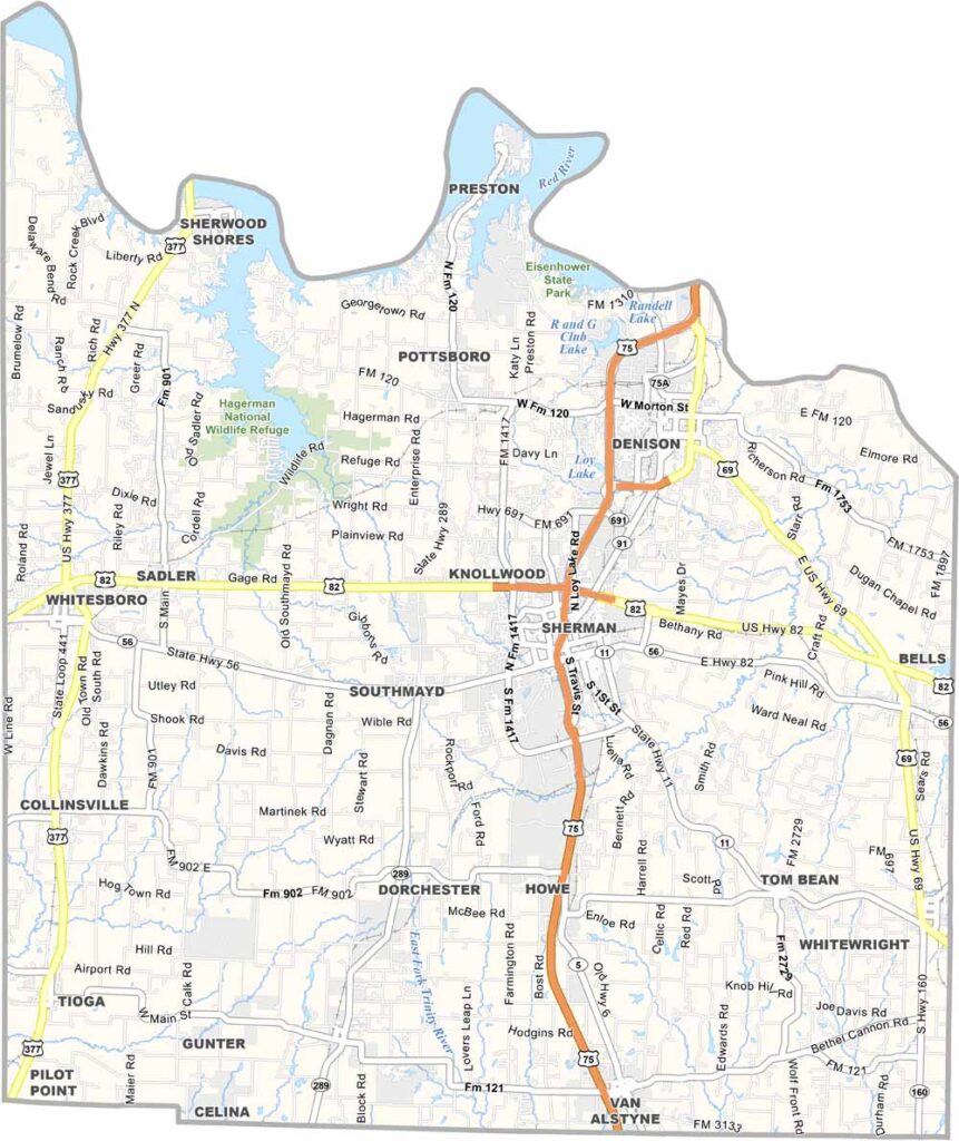
Grayson County is located just north of Dallas. It’s a place where small-town charm meets big-city convenience. The county seat, Sherman, has a downtown that’s perfect for a weekend stroll. Lake Texoma is a major attraction, offering world-class fishing and plenty of water sports.
The county also has a rich history. Eisenhower State Park, named after the former president who was born here, is a local gem. Denison, another important city, is home to the Eisenhower Birthplace State Historic Site.
The Red River forms the county’s northern border with Oklahoma and includes the massive Lake Texoma. It’s beautiful country out here. Grayson County combines rolling prairies with dense forests. The people are friendly, and the pace of life is just right.
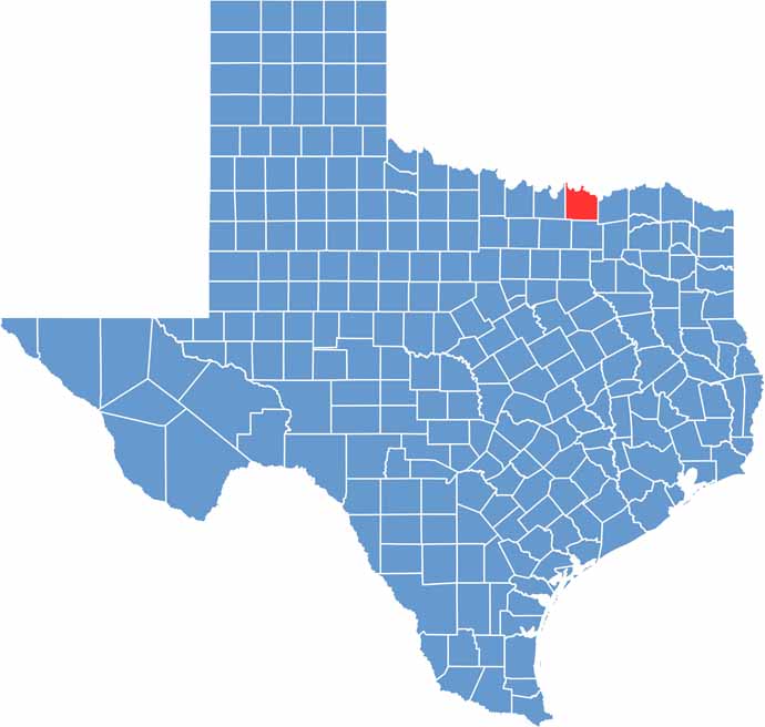
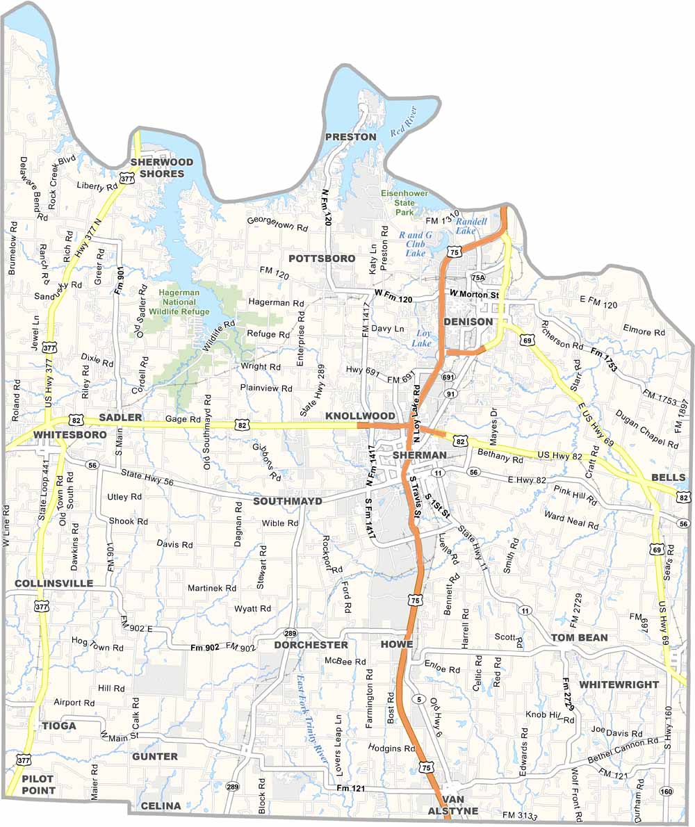
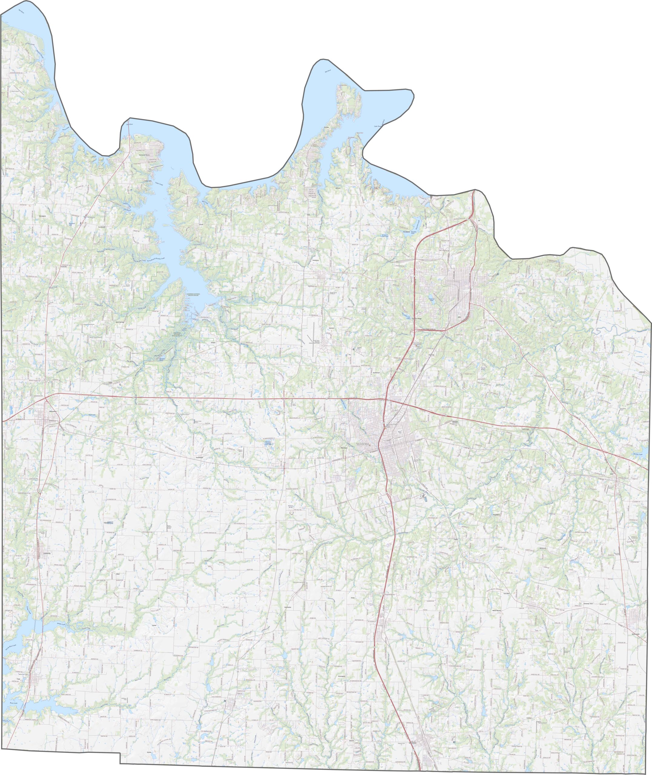
Grayson has a mix of wide highways and old roads that still feel like country drives. Although the county sits north of the Dallas-Fort Worth area, it hasn’t been swallowed by it yet. Use our zoom tool to follow every route on our road map.
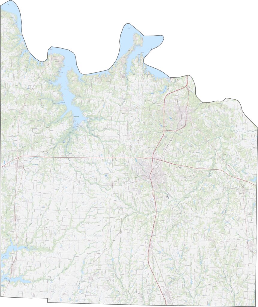
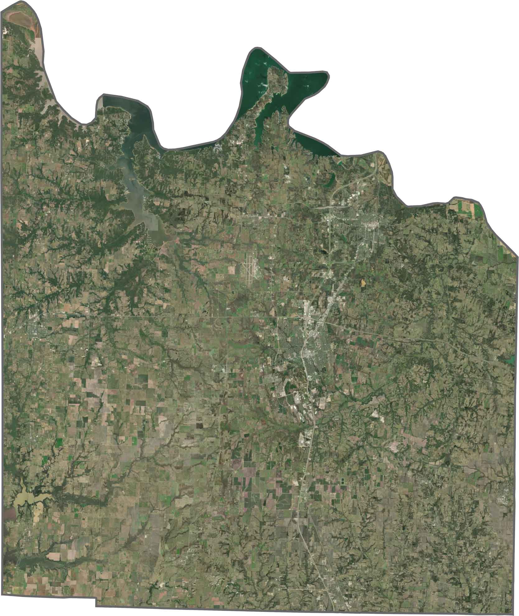
Up top, Lake Texoma grabs your attention. It has a jagged shape with dark blue edges. Sherman and Denison are easy to spot near the center. Beyond the towns, the landscape breaks into farmland, tree belts, and the occasional small reservoir.
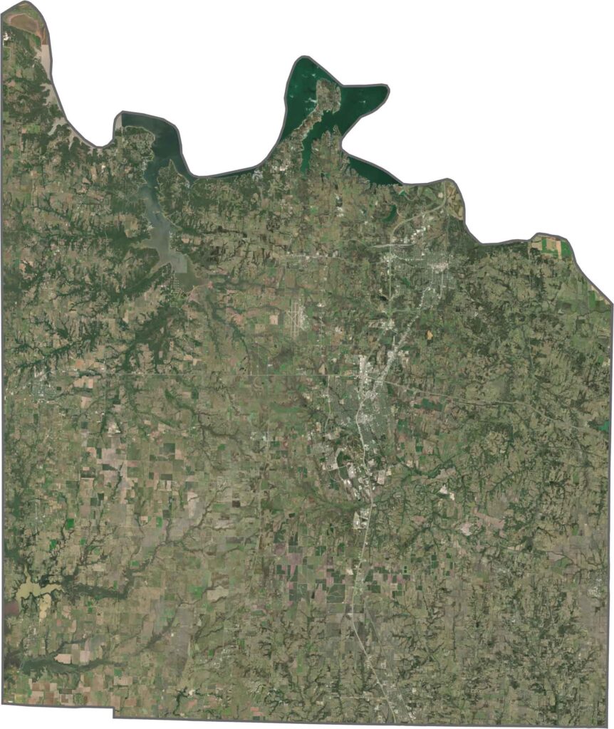
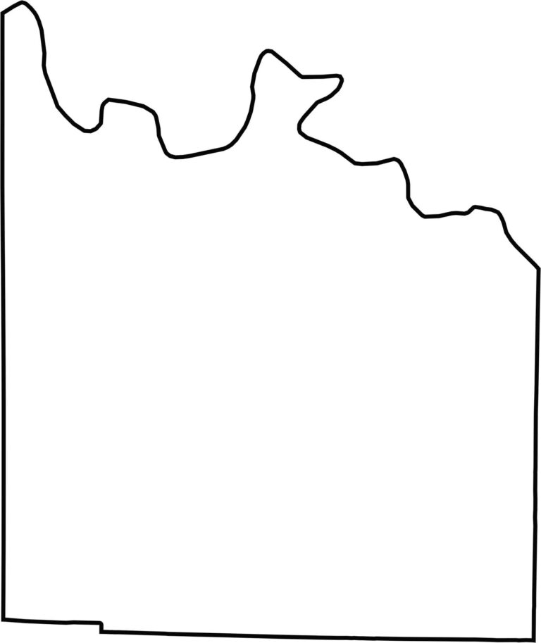
Grayson County has a squarish shape with a rugged northern edge shaped by the Red River. The river also marks the Texas–Oklahoma border. The rest of the county is surrounded by other Texas counties. Although some edges are straight, the river makes the outline more jagged and distinct along the top.








Discover all 254 legendary Texas county maps, covering the Lone Star State from the Panhandle to the Rio Grande. That means more rodeos, honky-tonk, and Texas BBQ.