Hale County Map Download Alabama – Outline Map and Blank Map

Hale County Map Download Alabama – Outline Map and Blank Map

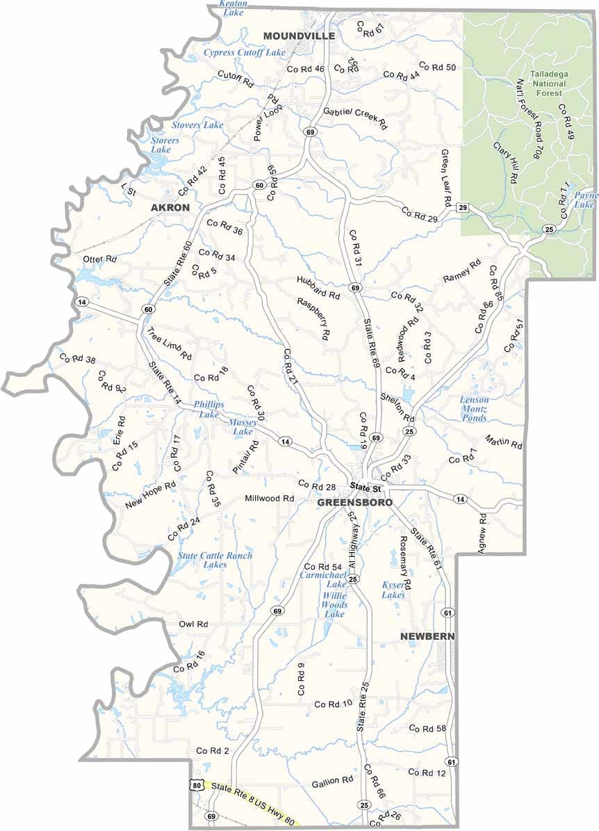
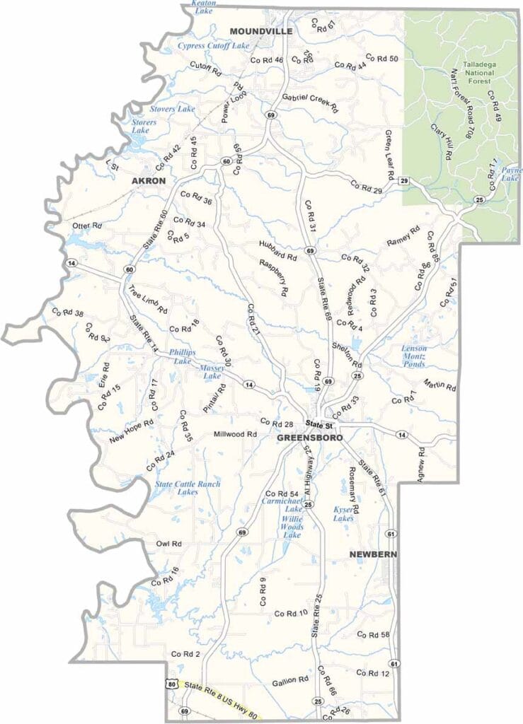
Hale County maps showing boundaries and locations in Alabama.

Hale County, Alabama

Hale County is located in west-central Alabama, with Greensboro serving as the county seat. It is a rural county with a population of around 15,000.

Greensboro is home to several historic landmarks, including Magnolia Grove, which reflects the area’s rich past. U.S. Highway 69 runs through the county, while the Black Warrior River forms its western boundary.

Outdoor recreation is also a highlight, with Payne Lake Recreation Area and the Oakmulgee Wildlife Management Area located in the northeastern part of the county. Visitors exploring the outdoors should be mindful of local hazards, including poison ivy in wooded areas.
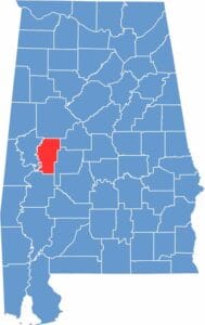

Hale County location map showing its position in Alabama.
Category Details
County Name Hale County
County Seat Greensboro
Cities, Towns, and Communities Greensboro, Moundville, Akron, Newbern, Sawyerville, Gallion, Prairieville, Havana Junction
Interstates and Highways U.S. Highway 80, State Route 14, State Route 25, State Route 69
Etymology Named after Stephen F. Hale, a Confederate officer and politician
FIPS Code 01-065
Total Area (Land and Water) 657 square miles (Land: 644 sq mi, Water: 13 sq mi)
Time Zone Central Time Zone (CT)
State Alabama
Coordinates 32.7592° N, 87.6186° W
Major Landmarks Moundville Archaeological Park, Magnolia Grove, Safe House Black History Museum, Payne Lake Recreation Area
Adjacent Counties (and Direction) Tuscaloosa County (North), Bibb County (Northeast), Perry County (Southeast), Marengo County (South), Greene County (West)
Population Approximately 15,000
Scroll to Top