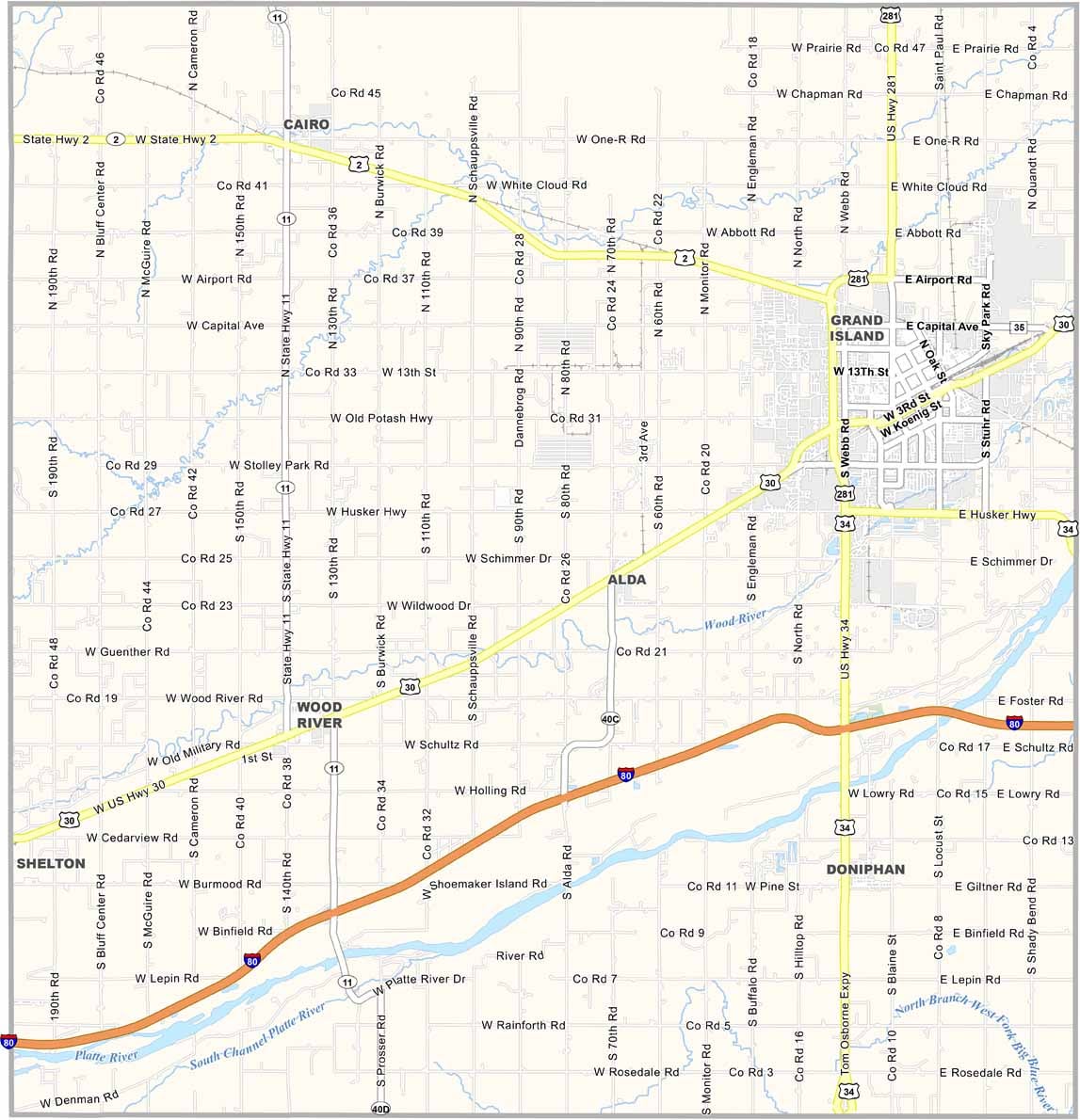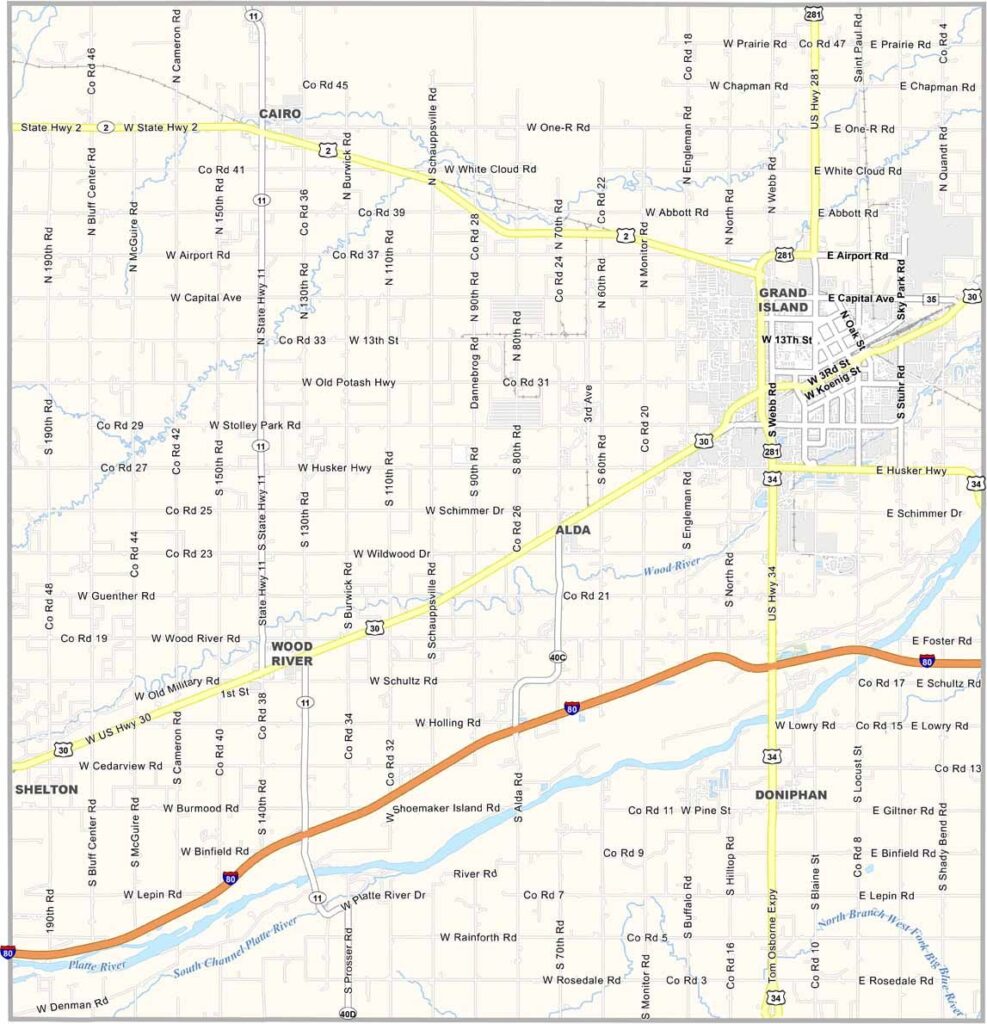
Hall County Map, Nebraska

Hall County, Nebraska

Hall County is located in central Nebraska. Grand Island is the big name here, serving as the county seat and the fourth-largest city in the state.

But it’s not all urban. Plenty of farmland surrounds the communities. The Platte River runs along the southern part of the county, roughly following I-80. It serves as an important resource for both people and wildlife.

The Stuhr Museum is a major attraction, offering visitors a chance to step back into Nebraska’s pioneer days. But Hall County isn’t stuck in the past. The Nebraska State Fair moved here in 2010, and every summer, the county comes alive with visitors from all over.
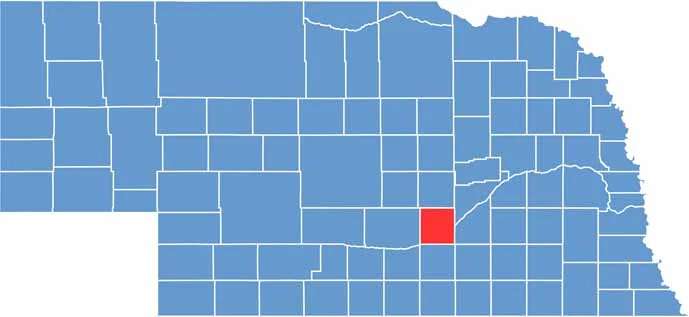

Hall County location map of Nebraska
CategoryDetails
County NameHall County
County SeatGrand Island
EtymologyNamed after Augustus Hall, a former chief justice of the Nebraska Territory
Cities, Towns, and CommunitiesGrand Island, Wood River, Doniphan, Alda, Cairo
Interstates and HighwaysI-80, US 30, US 281, NE 2, NE 11
FIPS Code31-079
Total Area (Land and Water)552 square miles (Land: 546 sq mi, Water: 6 sq mi)
Adjacent Counties (and Direction)Merrick County (Northeast), Hamilton County (East), Adams County (South), Kearney County (Southwest), Howard County (North), Buffalo County (West)
Time ZoneCentral Time Zone (CT)
StateNebraska
Coordinates40.8198° N, 98.5035° W
Major LandmarksStuhr Museum of the Prairie Pioneer, Heartland Events Center, Platte River
PopulationApproximately 63,000
Scroll to Top