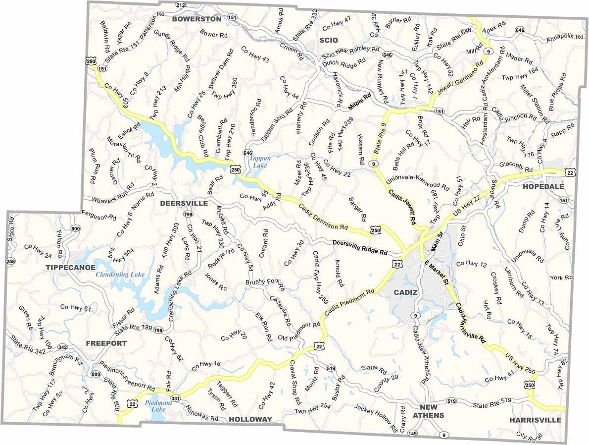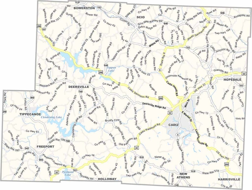
Harrison County Map, Ohio

Harrison County, Ohio

Harrison County is tucked away in eastern Ohio, and it’s a great place to be. Rolling hills and winding roads make for some scenic drives. Cadiz, the county seat, has a downtown that looks straight out of a postcard.

Outdoorsy types love the area for fishing and hunting. Tappan Lake is a big draw in the summer months, and there are other large lakes too, including Clendening Lake and Piedmont Lake.

The county fair is always a highlight of the year. Farming is still important, and so is coal mining. It’s not a flashy place, but that’s part of its charm. Harrison County is all about simple pleasures and strong roots.
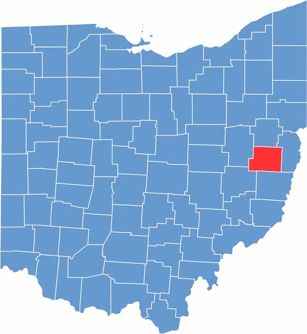

Harrison County location map of Ohio
CategoryDetails
County NameHarrison County
County SeatCadiz
EtymologyNamed after William Henry Harrison, U.S. president
Cities, Towns, and CommunitiesCadiz, Scio, Hopedale, Uhrichsville
Interstates and HighwaysU.S. Highway 22, U.S. Highway 250, State Route 9
FIPS Code39-067
Total Area402 square miles (land and water)
Adjacent CountiesCarroll County (North), Jefferson County (East), Belmont County (South), Guernsey County (Southwest), Tuscarawas County (West)
Time ZoneEastern Time Zone
StateOhio
Coordinates40.2742° N, 81.0717° W
Major LandmarksHarrison County Historical Society Museum, Sally Buffalo Park
PopulationApproximately 15,000
Scroll to Top