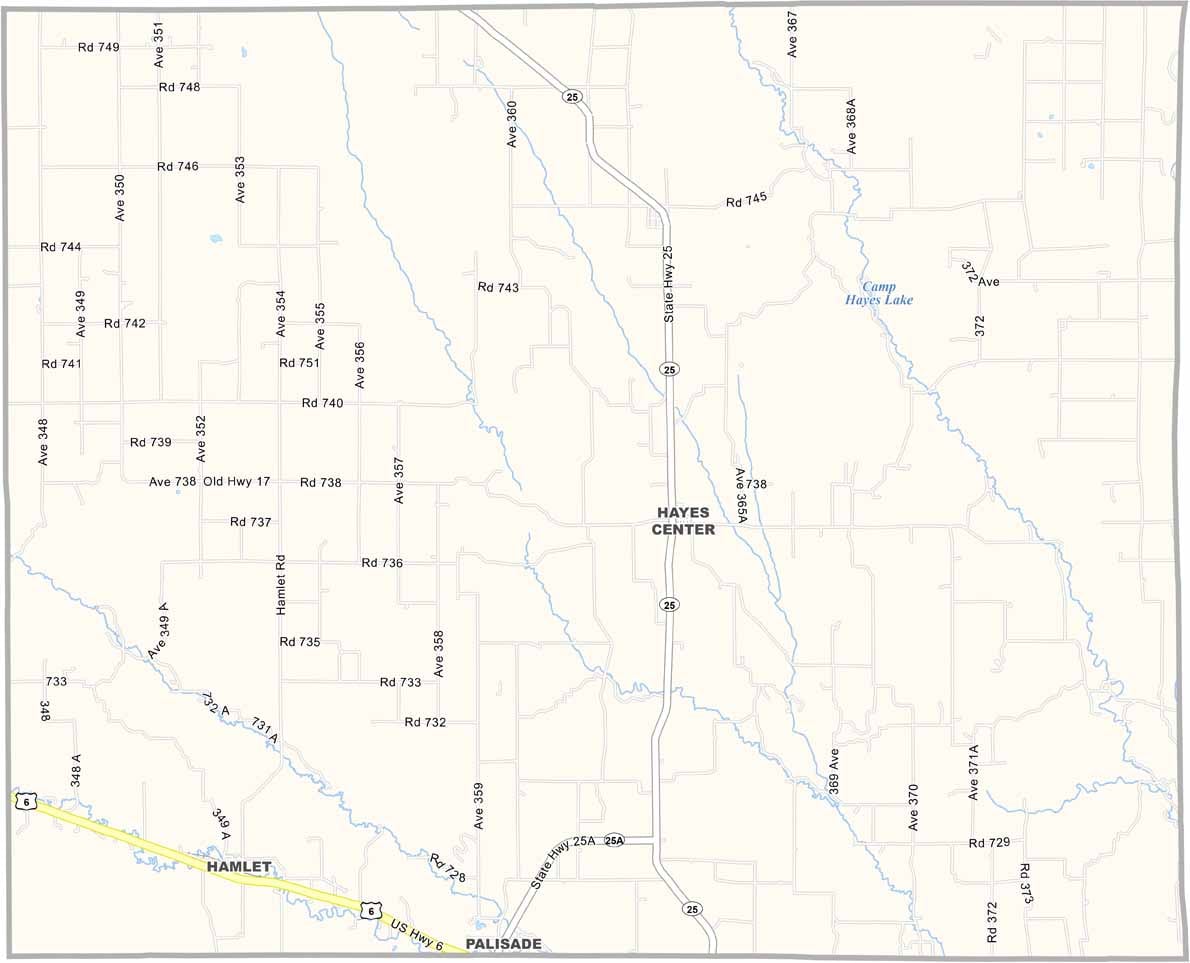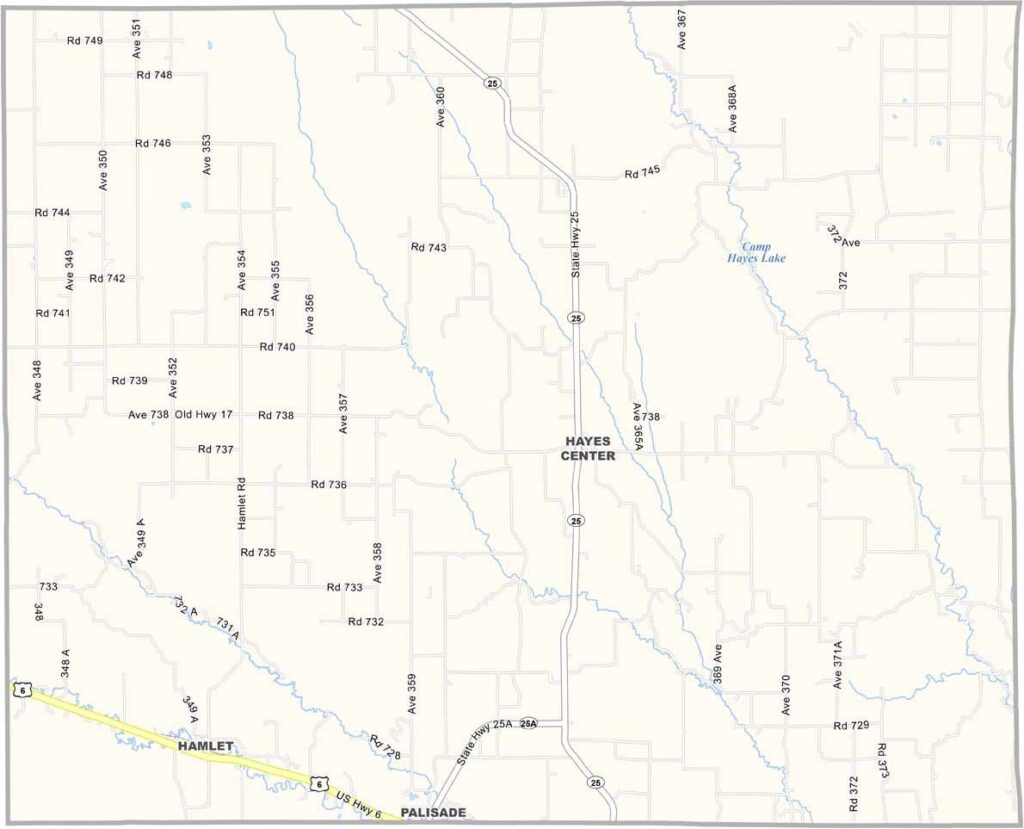
Hayes County Map, Nebraska

Hayes County, Nebraska

Wide-open spaces define Hayes County. It’s located in western Nebraska, where the landscape seems to stretch on forever. Cattle far outnumber people here.

Hayes Center serves as the county seat, although it’s barely a blip on the map. There’s a strong sense of community, with locals gathering at the diner to share stories and catch up on the latest gossip.

The night sky is something else. You’ve never seen so many stars. It’s quiet out here. Some people might find it lonely, while others appreciate the peace and solitude.
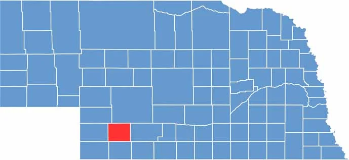

Hayes County location map of Nebraska
CategoryDetails
County NameHayes County
County SeatHayes Center
EtymologyNamed after Rutherford B. Hayes, the 19th President of the United States
Cities, Towns, and CommunitiesHayes Center, Hamlet, Palisade
Interstates and HighwaysUS 6, NE 25
FIPS Code31-085
Total Area (Land and Water)713 square miles (Land: 713 sq mi, Water: 0.2 sq mi)
Adjacent Counties (and Direction)Frontier County (East), Hitchcock County (South), Dundy County (Southwest), Chase County (West), Perkins County (Northwest), Lincoln County (North)
Time ZoneMountain Time Zone (MT)
StateNebraska
Coordinates40.5130° N, 101.0559° W
Major LandmarksHayes County Courthouse, Enders Reservoir State Recreation Area (nearby)
PopulationApproximately 900
Scroll to Top