
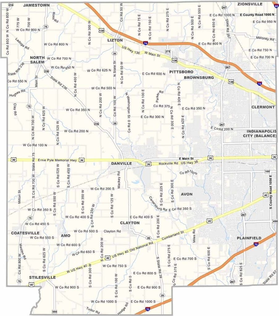
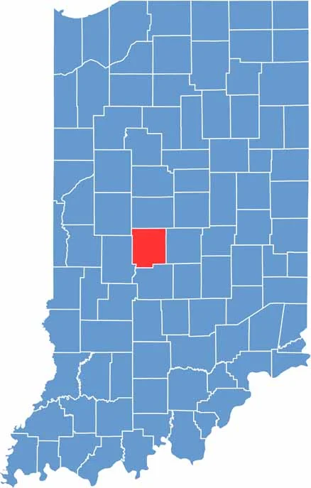
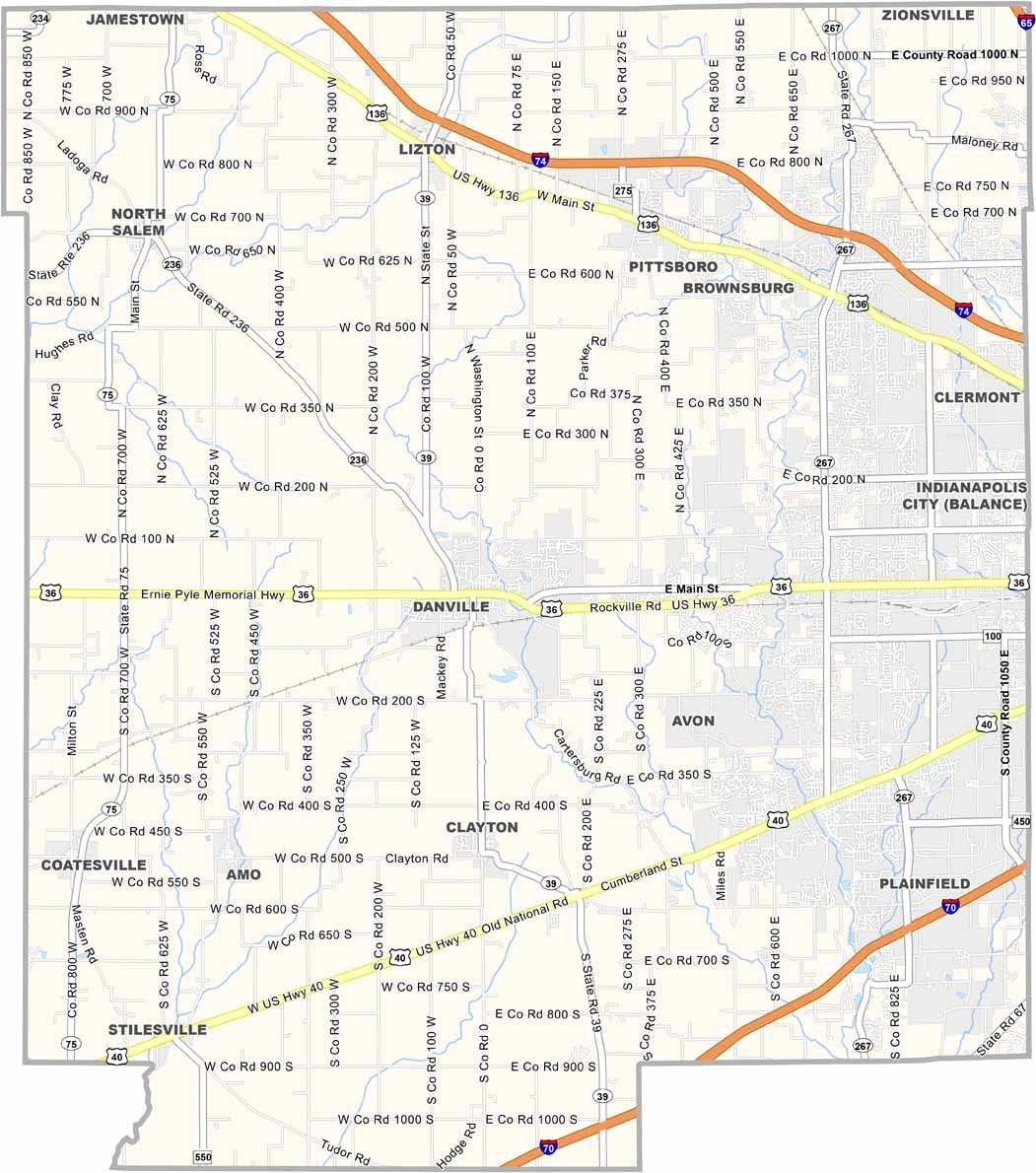
Hendricks County is Indianapolis’s fast-growing western neighbor. Danville, the county seat, still has a charming small-town feel, while communities such as Plainfield and Brownsburg continue to grow rapidly.
You’ll find a mix of suburban neighborhoods and farmland throughout the county. The Indianapolis International Airport is located just outside Hendricks County but still brings jobs, activity, and some noise to the area. McCloud Nature Park is a local favorite for hiking, nature walks, and stargazing.
The county is known for its good schools and safe neighborhoods. Some residents welcome the growth, while others miss the quieter days of the past. Still, there is little doubt that Hendricks County is continuing to grow and change.
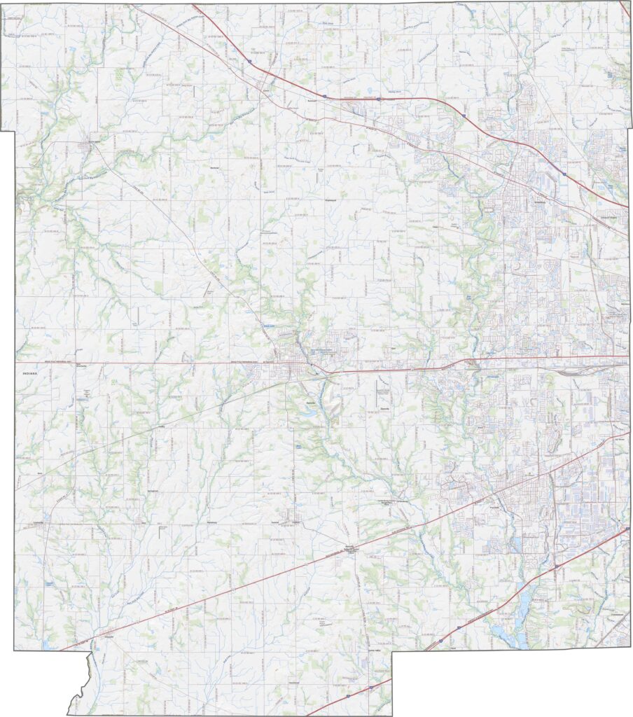
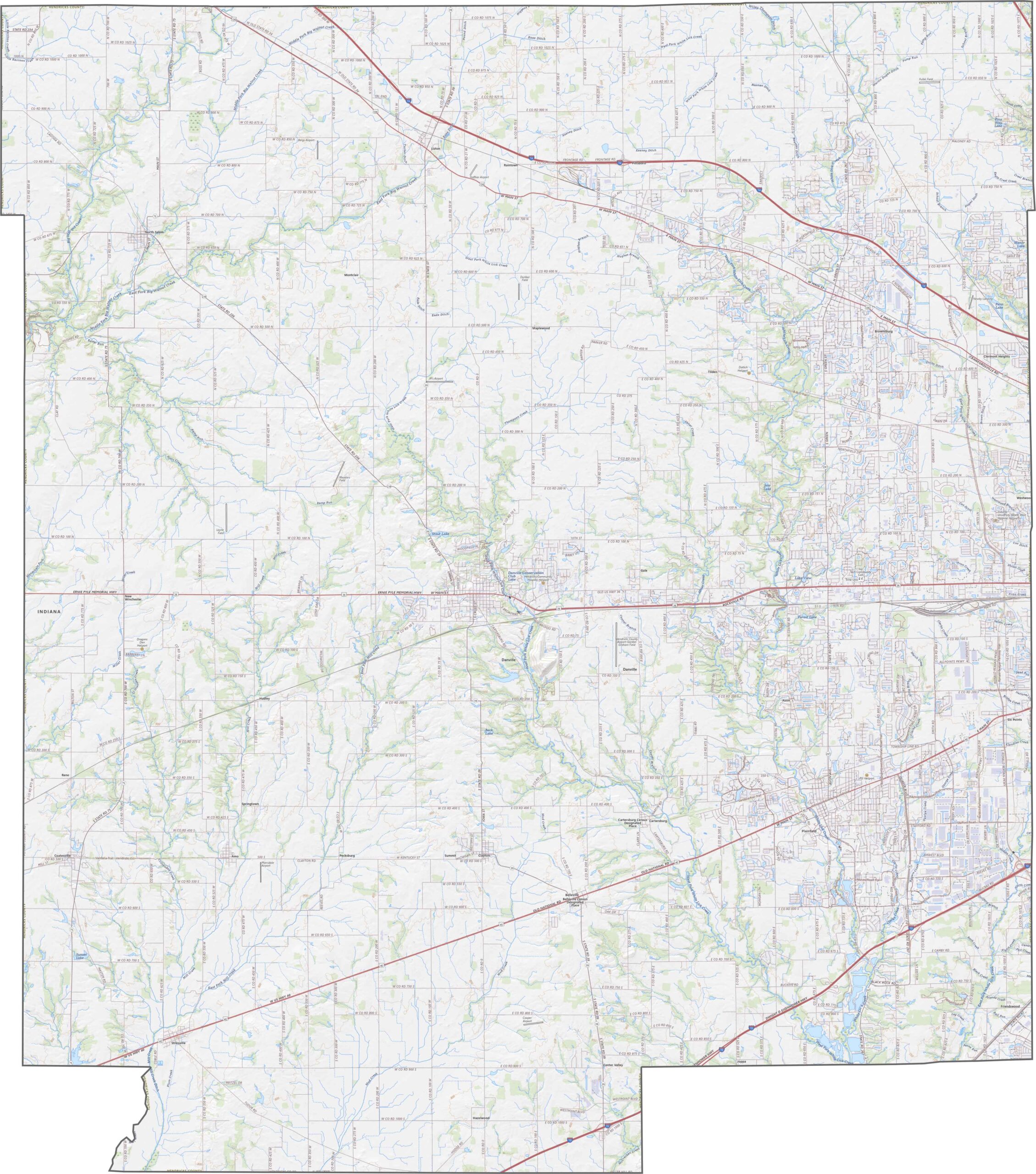
Gently rolling hills characterize much of the county, although the land becomes flatter toward the south. White Lick Creek and other streams create small valleys, while most elevation changes remain subtle. Rapid suburban growth has transformed many areas that were once farmland.
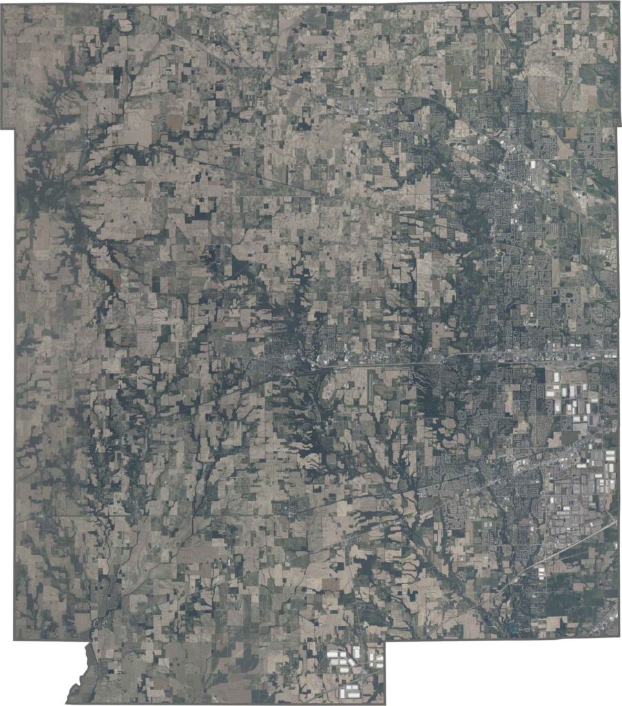
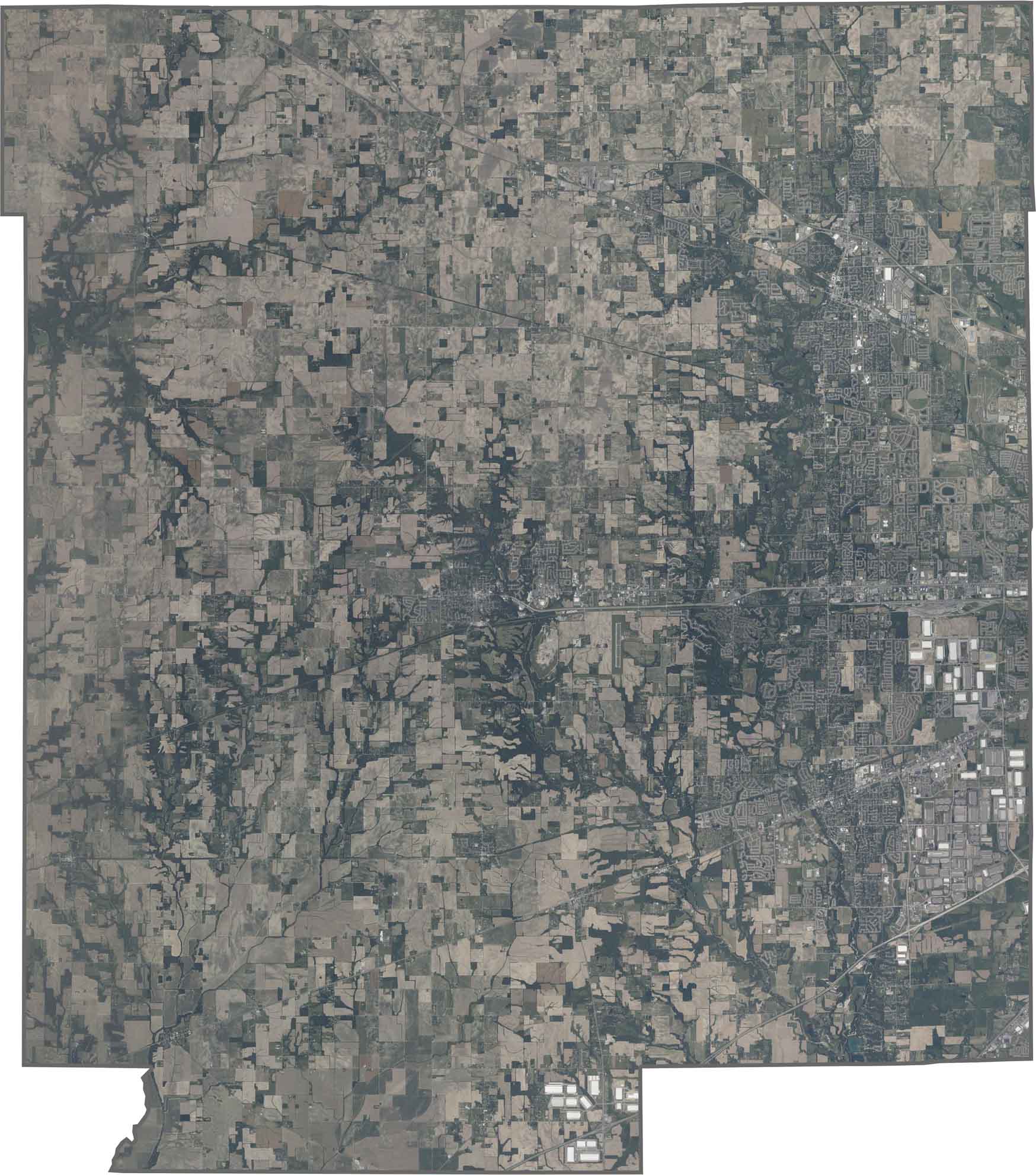
Suburban developments spread outward from the eastern edge near Indianapolis. Curving residential neighborhoods are mixed with remaining farmland farther west, creating a landscape where newer communities meet the county’s rural roots.
Hendricks County has a roughly rectangular shape, with mostly straight boundaries on all sides. No major rivers form its borders, and the county does not touch any other states.








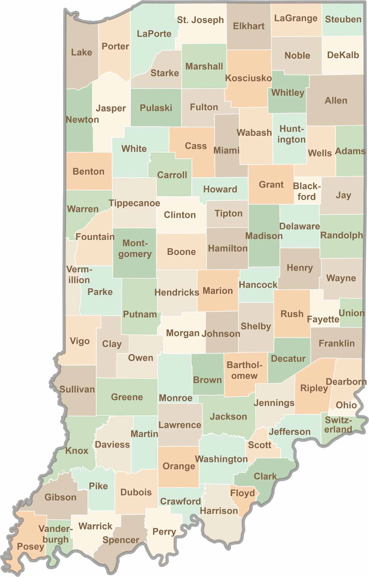
Explore the Hoosier State, home to 92 counties filled with scenic backroads, impressive skyline views, and charming small towns. Think of this as your glovebox passport to Indiana, guiding you to classic diner pies, covered bridges, and stunning Lake Michigan sunsets.