
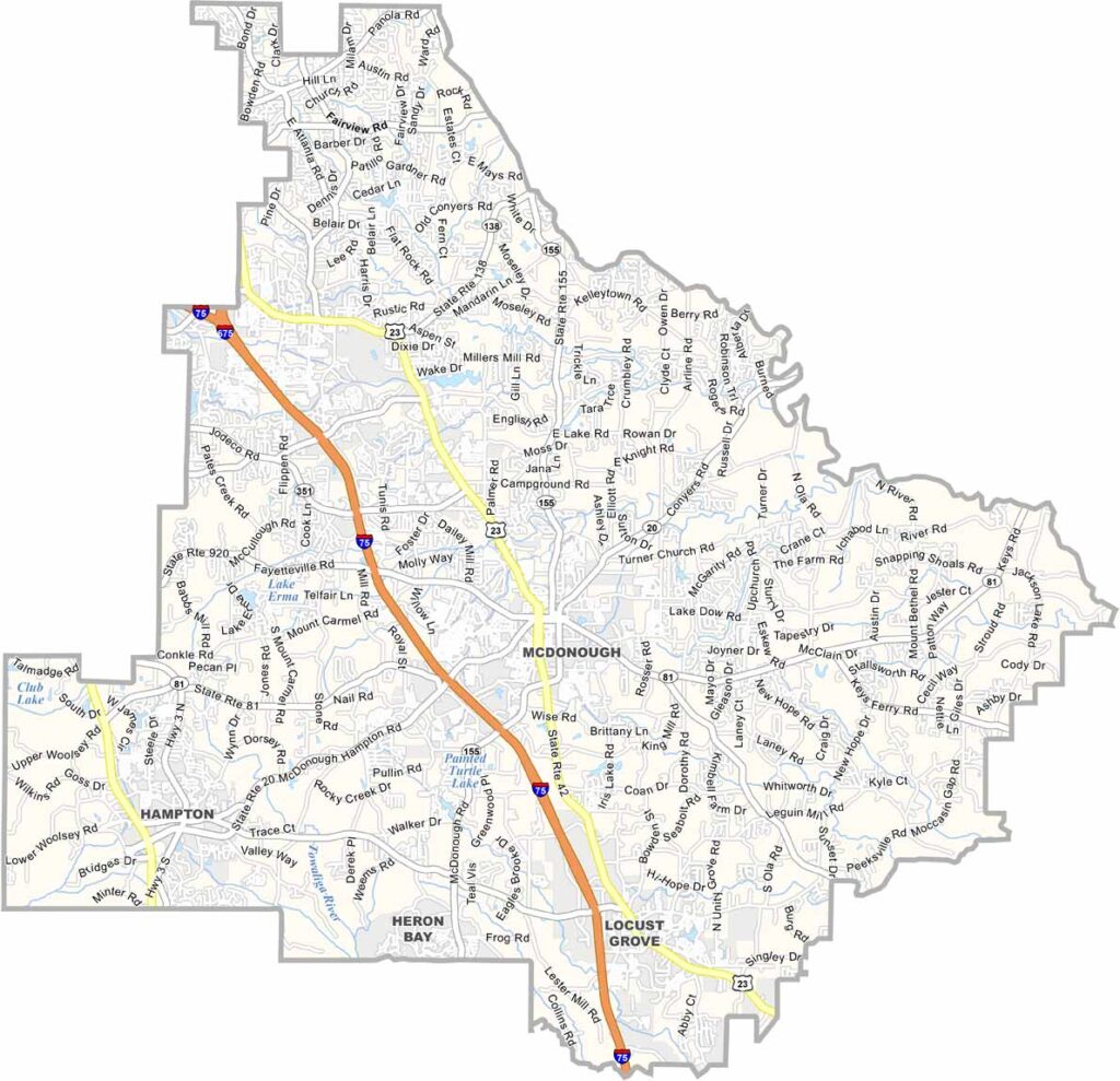
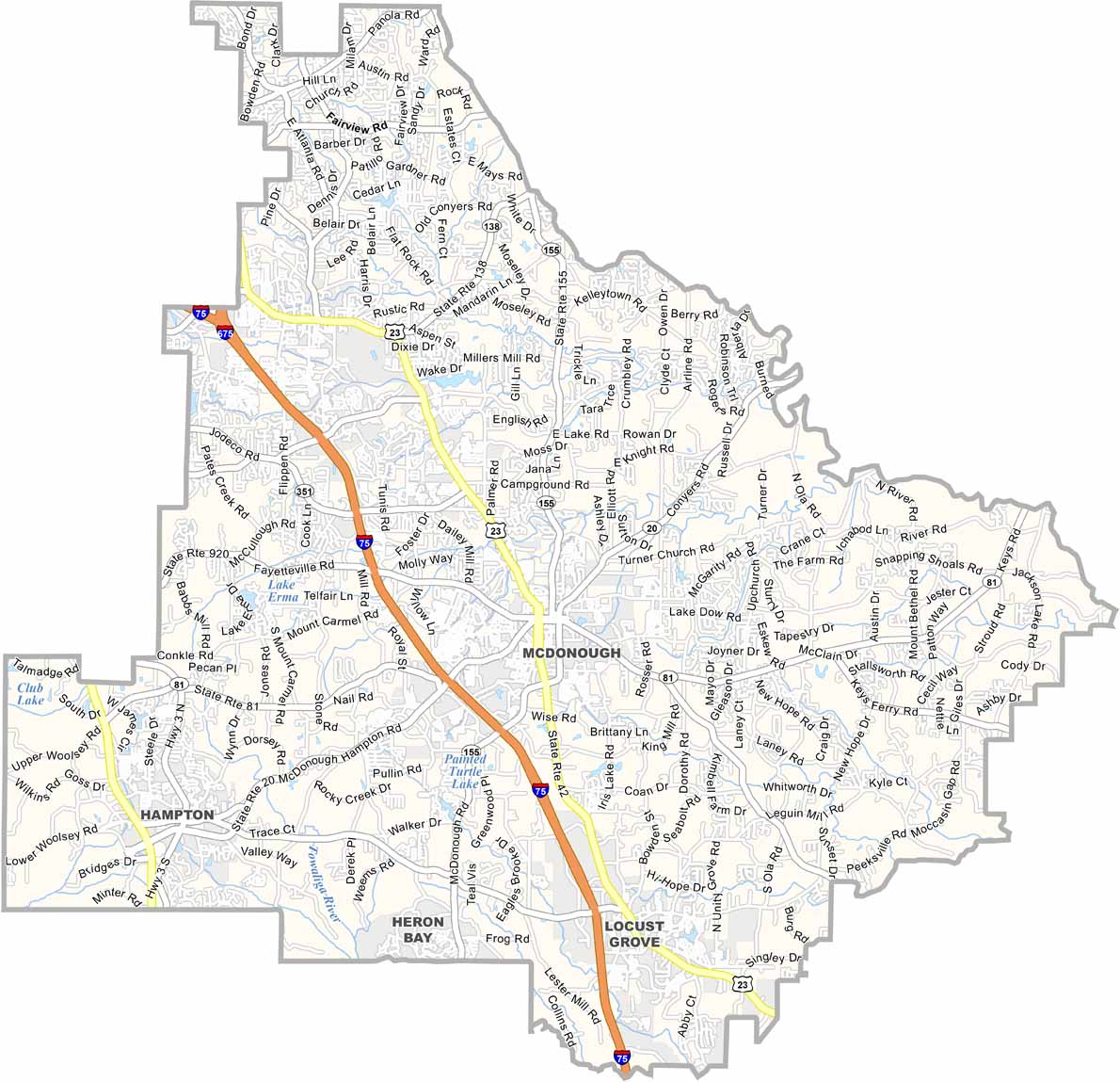
Henry County is located just southeast of Atlanta and has become one of Georgia’s fastest-growing communities. McDonough, the county seat, is known for its picturesque downtown square surrounded by shops, restaurants, and historic buildings.
The county’s location near major highways has helped make it an important logistics hub, with numerous distribution centers and businesses. Despite rapid development, southern Henry County still has pockets of rural landscapes and open space. Parks and natural areas also provide opportunities for hiking, recreation, and enjoying the outdoors.
Atlanta Motor Speedway in Hampton attracts NASCAR fans from across the region. Henry County’s highly regarded schools and relatively affordable housing continue to draw families and new residents. Its restaurant scene has also grown, offering everything from traditional Southern cooking to international cuisines.
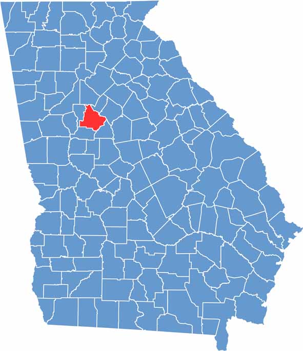
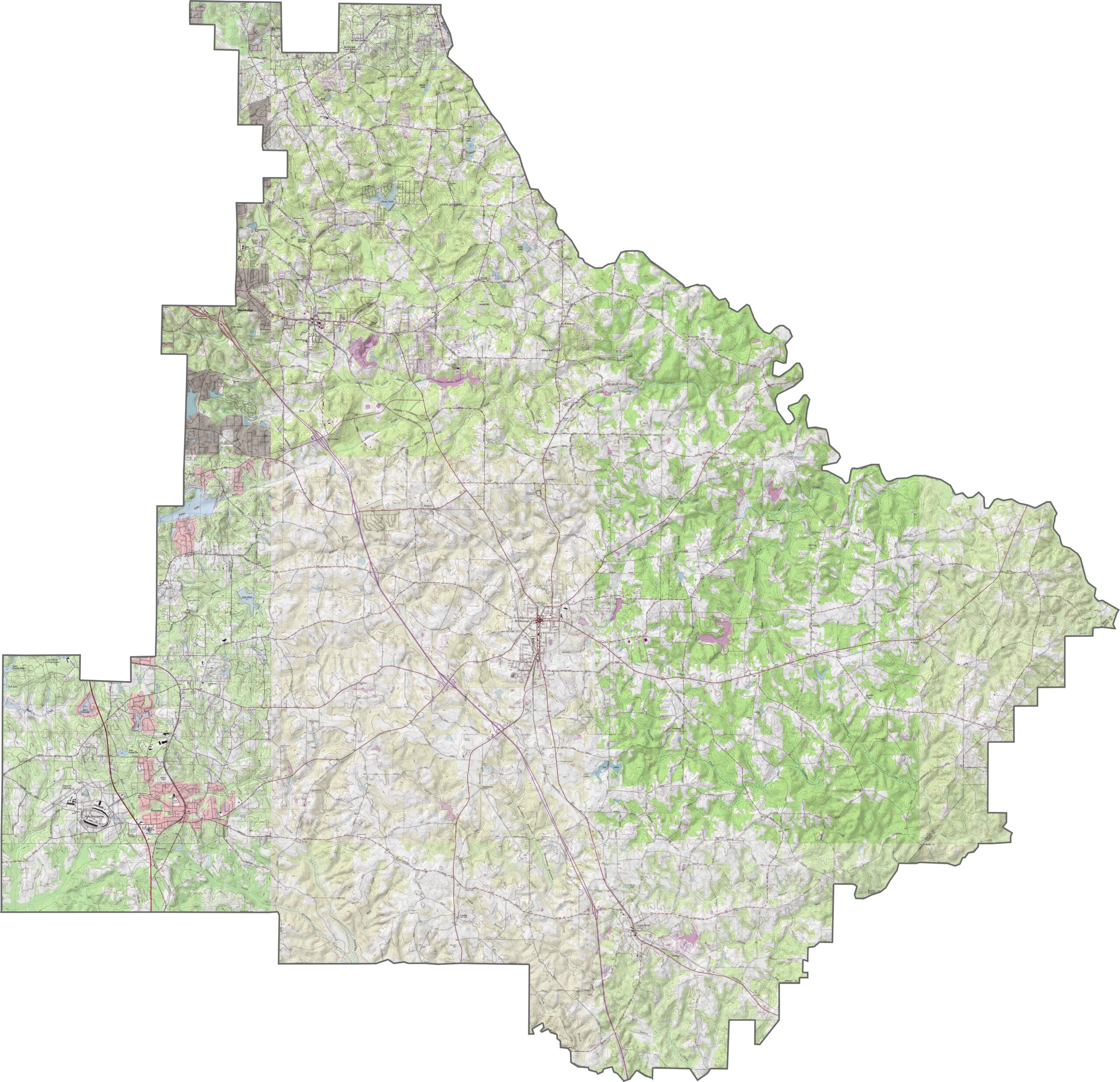
Our Henry County topographic map shows gentle hills, creeks, and low-lying areas throughout the landscape. Although the elevation changes are not dramatic, the map highlights the subtle slopes that shape the county. Use our zoom tool to explore McDonough and the surrounding terrain near Panola Mountain State Park.
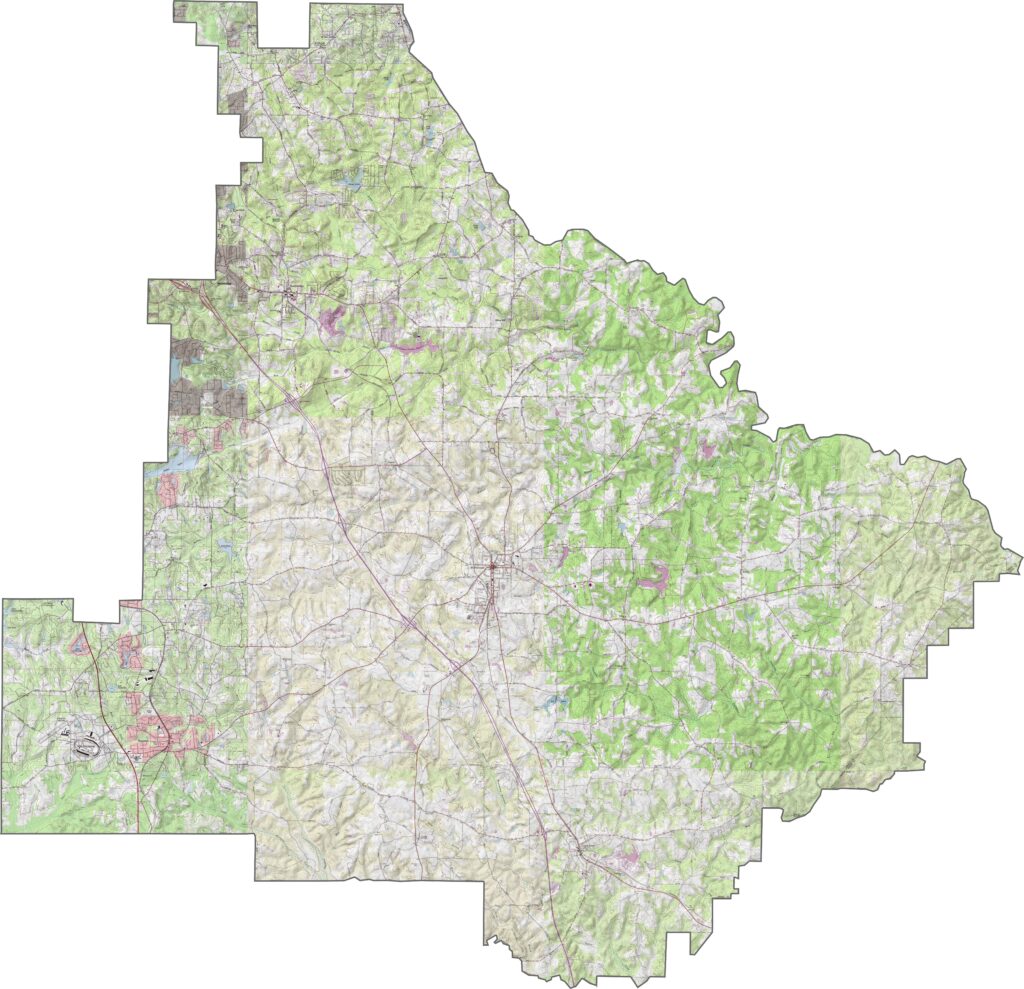
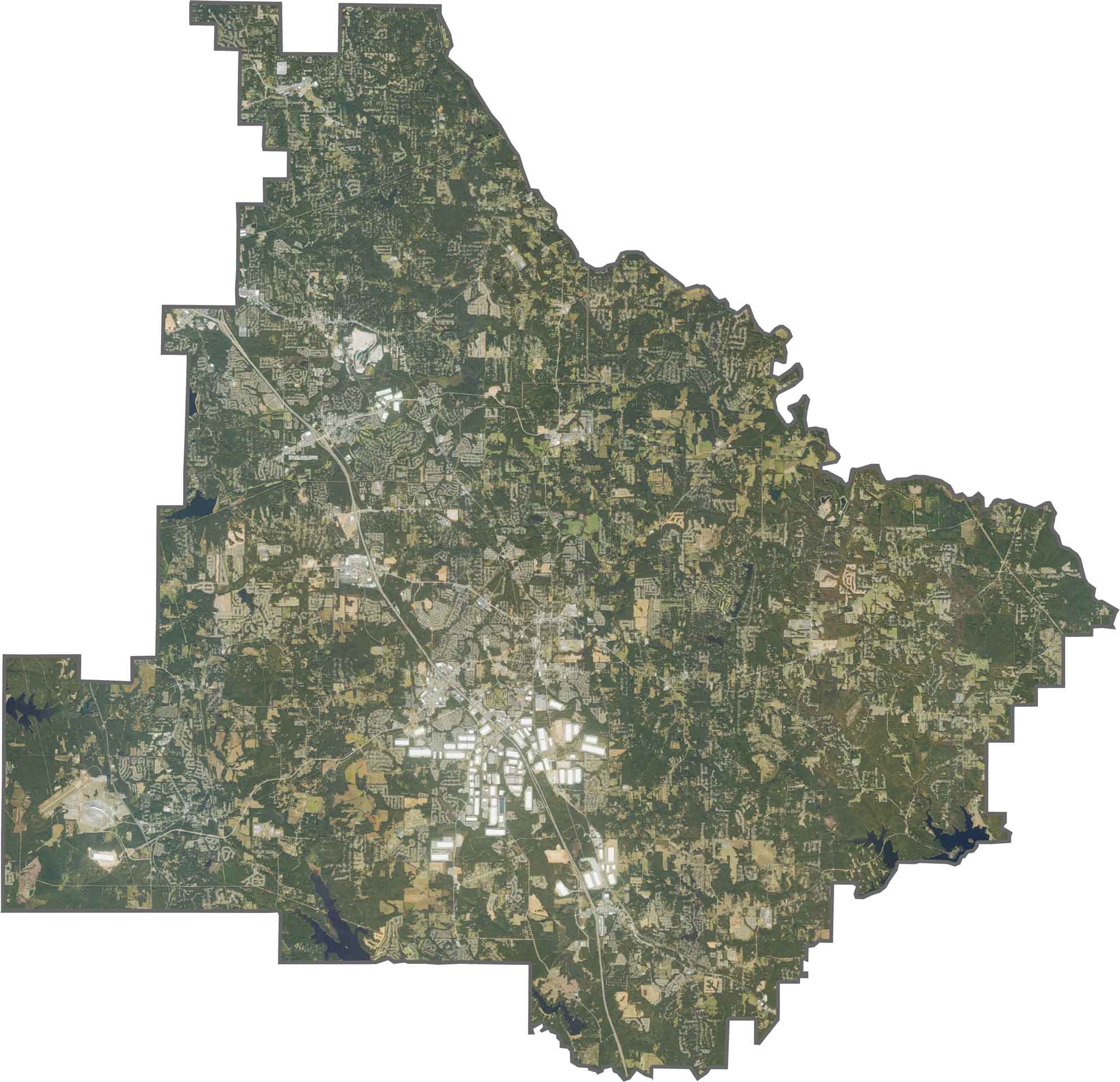
Our satellite map provides a clear aerial view of Henry County. Communities such as McDonough, Stockbridge, and Hampton stand out across the landscape. Farmland and wooded areas remain visible, particularly in the southern part of the county.
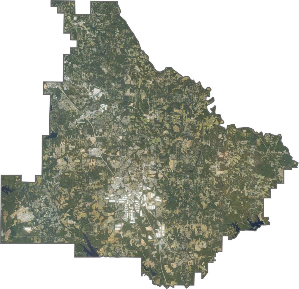
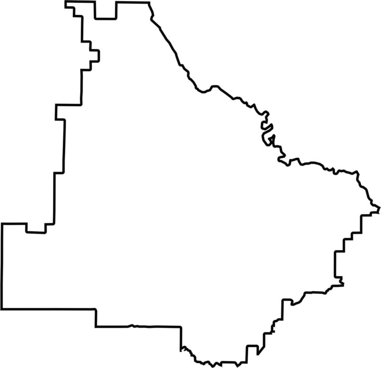
Our outline map offers a clean and simple view of Henry County’s borders. The western boundary is somewhat jagged where the county meets Clayton and Spalding counties. The eastern side is smoother, with the South River helping define portions of the northeastern boundary.








Now available! Our Georgia county map highlights all 159 counties with exceptional detail and clarity. Whether you're exploring geography, planning a trip, or learning more about the Peach State, this comprehensive map is the resource you've been looking for. Discover Georgia like never before and explore every corner of the state.