
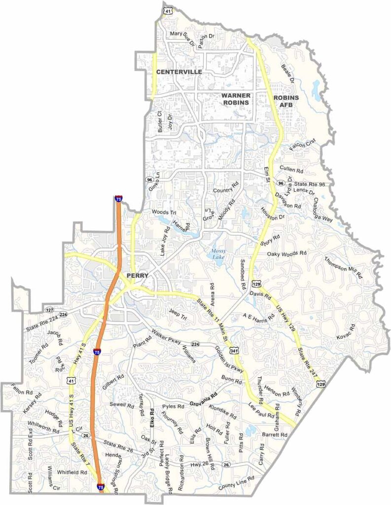
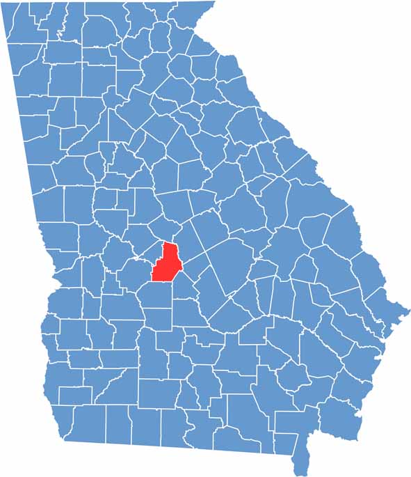
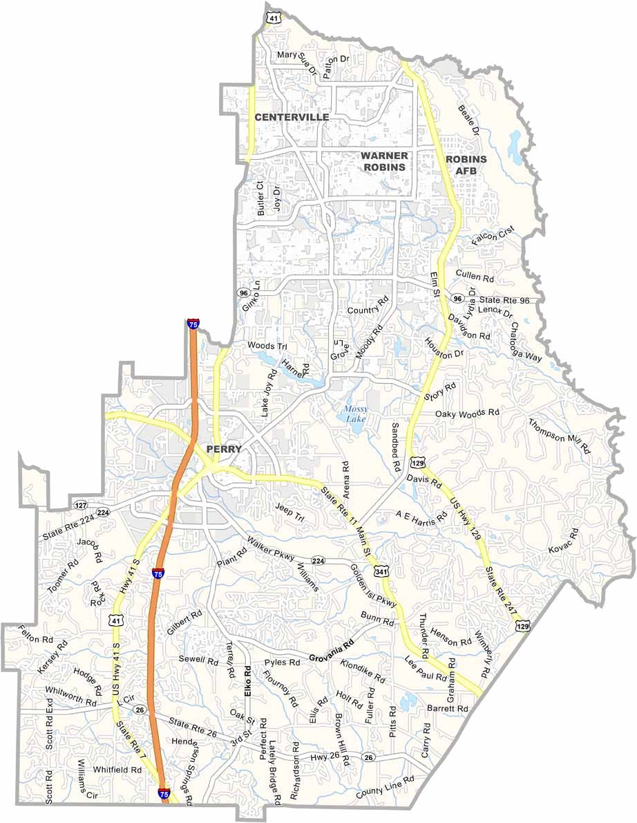
Houston County is located in central Georgia and is pronounced “HOW-stun,” rather than like Houston, Texas. The county is home to Robins Air Force Base, one of the region’s major economic drivers and an important center for aviation and military operations.
Warner Robins is the county’s largest city and has grown from a small community into a thriving suburban center. Perry serves as the county seat and hosts the annual Georgia National Fair. The Museum of Aviation in Warner Robins highlights the region’s long connection to aerospace and aviation.
Houston County has a diverse economy supported by military operations, agriculture, manufacturing, and other industries. Its highly regarded schools continue to attract families to the area. The International City Farmers Market in Warner Robins also offers a variety of fresh produce and locally sourced goods throughout the year.
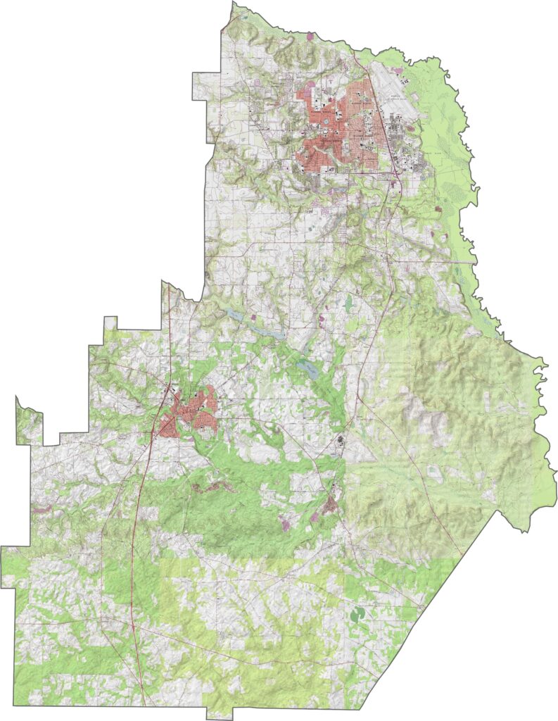
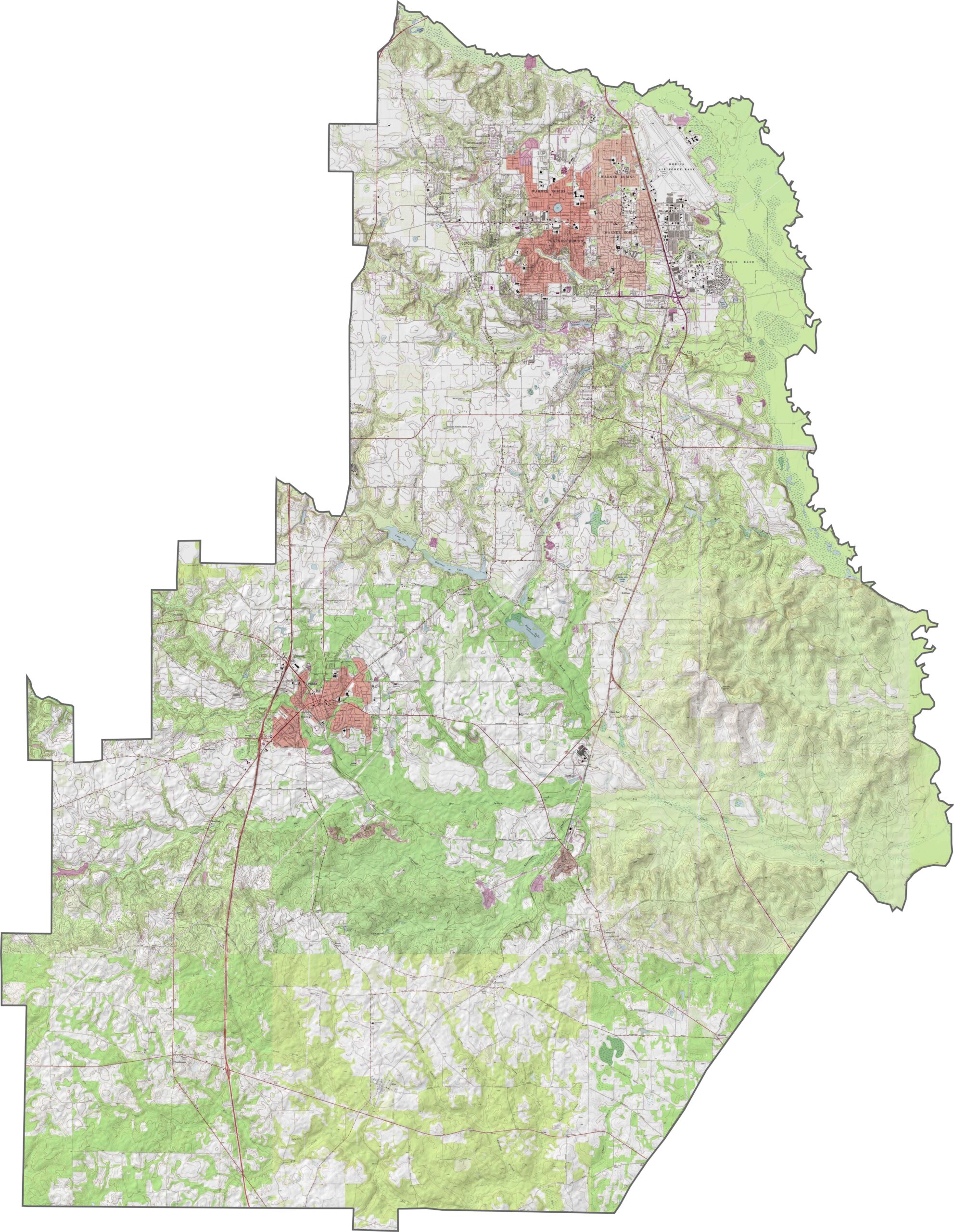
Our Houston County topographic map shows mostly flat terrain, with the land gradually sloping toward the Ocmulgee River in the east. There aren’t many steep hills here, but the map still makes it easy to see the drainage patterns and subtle changes in elevation. Use our zoom tool to explore the contours in more detail.
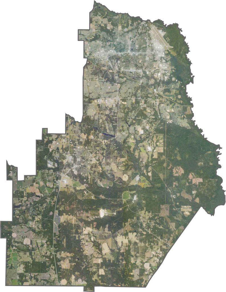
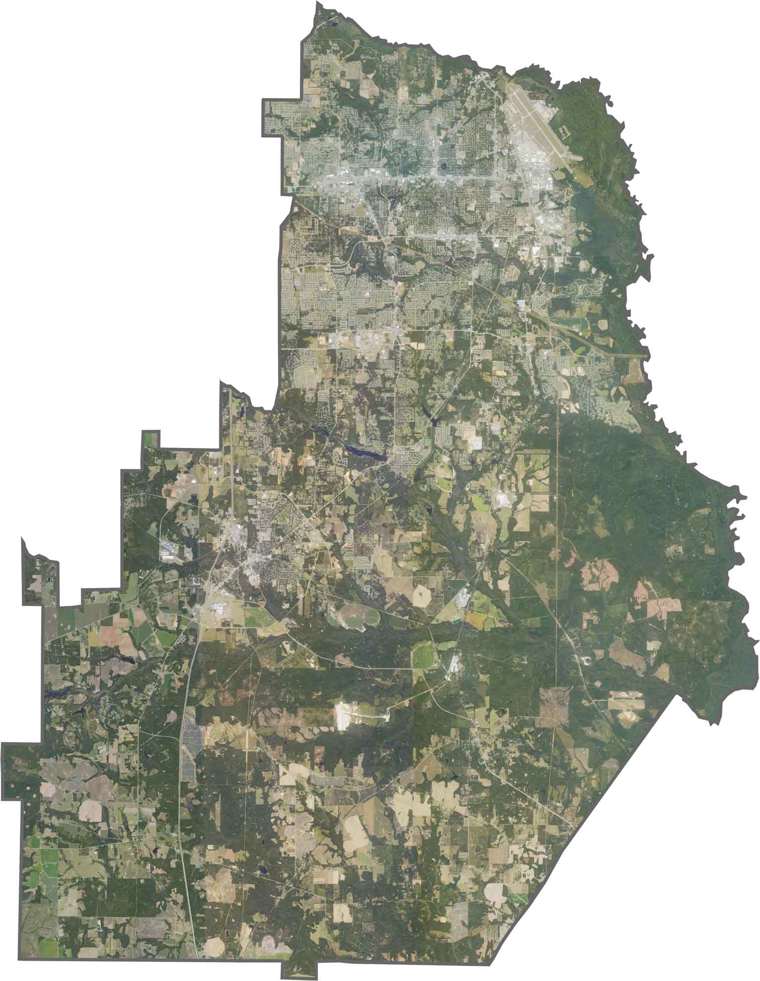
Our satellite map gives you a clear view of Houston County from above. You can spot Warner Robins, Perry, Centerville, and Robins Air Force Base, along with sprawling neighborhoods and patches of farmland. Zoom in and you’ll see just how easily urban development and open land mix together.
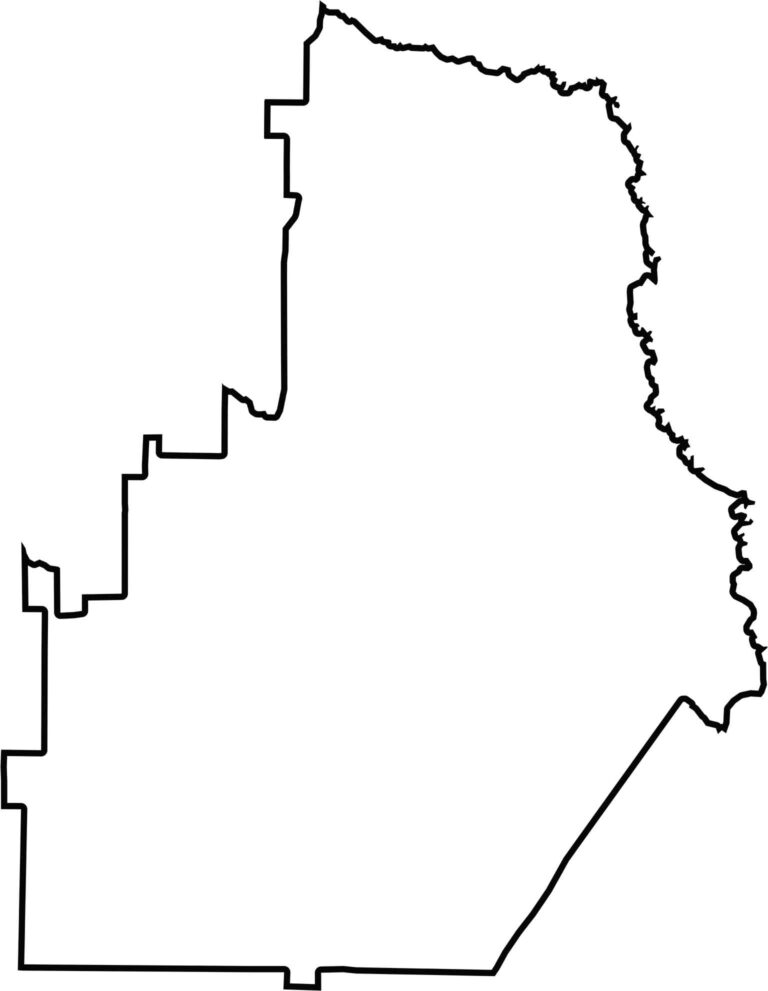
Our outline map keeps things simple. Houston County is longer from north to south, with the Ocmulgee River forming much of its eastern boundary. It’s an easy shape to recognize once you know what to look for.








Now available! Our Georgia county map highlights all 159 counties with exceptional detail and clarity. Whether you're exploring geography, planning a trip, or learning more about the Peach State, this comprehensive map is the resource you've been looking for. Discover Georgia like never before and explore every corner of the state.