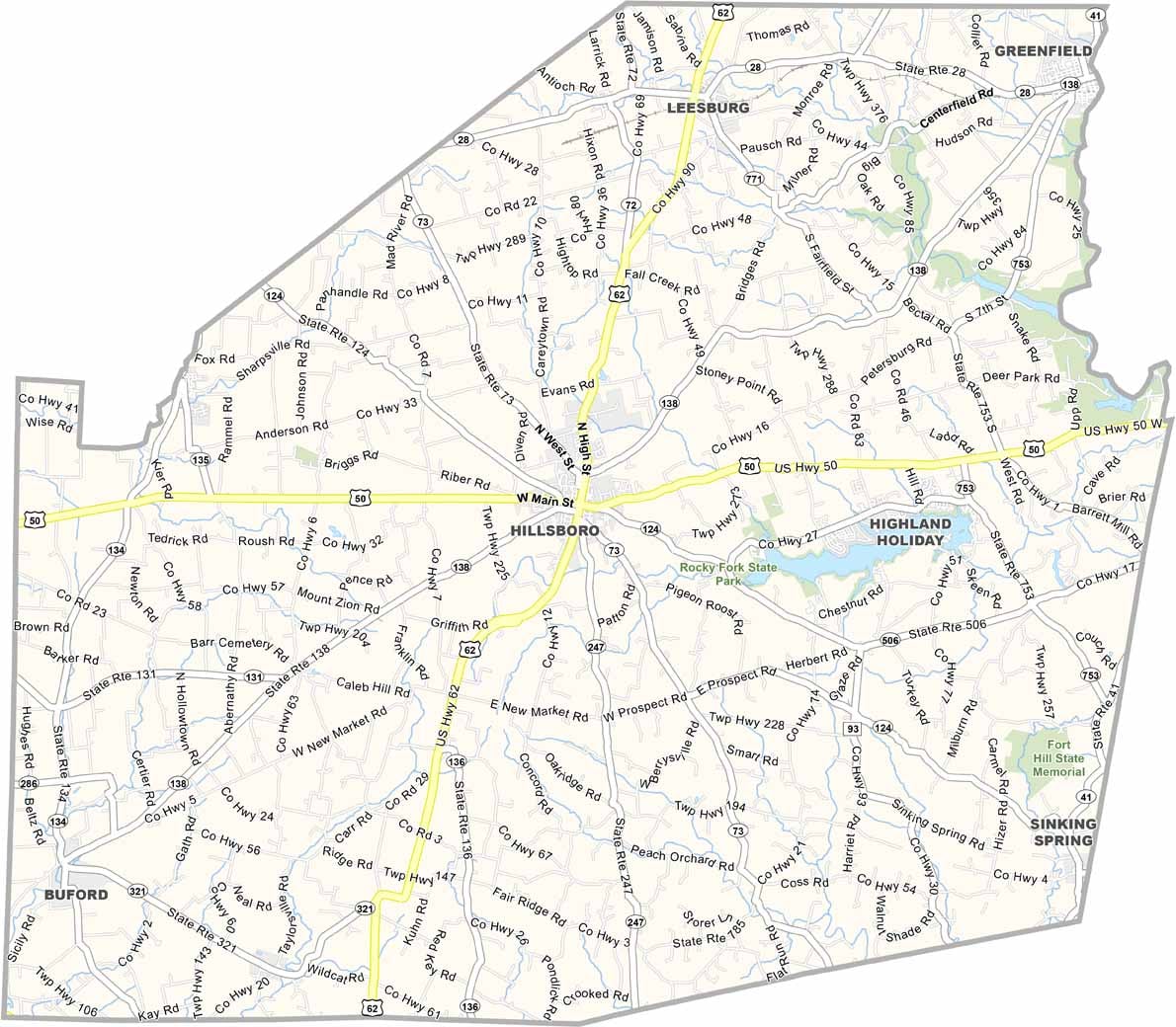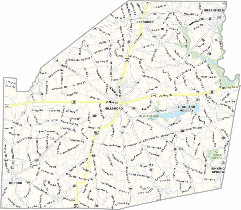
Highland County Map, Ohio

Highland County, Ohio

Highland County is perched on the edge of Appalachia in southwest Ohio. Hillsboro, the county seat, sits right where the flatlands start to get hilly. The county has seen its share of ups and downs.

Hillsboro’s historic downtown is worth a look, with some impressive murals on display. Farming is still big business around these parts, and Rocky Fork Lake State Park, just east of Hillsboro, is a major draw.

The county fair here is one of the biggest in the state, and Amish communities add another layer to the local culture. Highland County has a little bit of everything, and it’s a place that keeps surprising you.
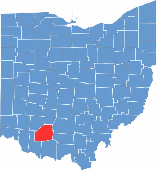

Highland County location map of Ohio
CategoryDetails
County NameHighland County
County SeatHillsboro
EtymologyNamed after the county’s terrain
Cities, Towns, and CommunitiesHillsboro, Greenfield, Lynchburg, Leesburg
Interstates and HighwaysU.S. Highway 50, U.S. Highway 62, State Route 28
FIPS Code39-071
Total Area556 square miles (land and water)
Adjacent CountiesFayette County (North), Ross County (Northeast), Pike County (East), Adams County (Southeast), Brown County (Southwest), Clinton County (Northwest)
Time ZoneEastern Time Zone
StateOhio
Coordinates39.2010° N, 83.6122° W
Major LandmarksRocky Fork Lake, Highland County Historical Society
PopulationApproximately 45,000
Scroll to Top