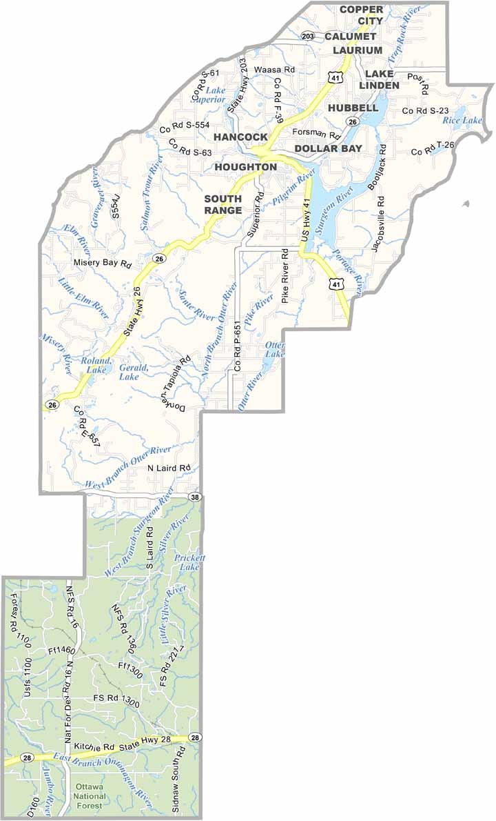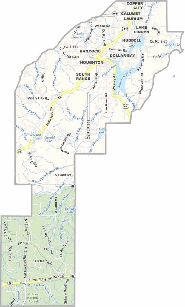
Houghton County Map, Michigan

Houghton County, Michigan

Michigan’s wild Upper Peninsula is home to Houghton County, a place of rugged beauty and hardy people. Snowfall here is legendary, with winters that could make a polar bear shiver.

But locals embrace the white stuff. Summers tell a different story, bringing lush green forests and sparkling lakes that beckon visitors to explore.

Michigan Tech calls this place home, adding a brainy vibe to the wilderness. Today, people come here for world-class trails and pristine nature.
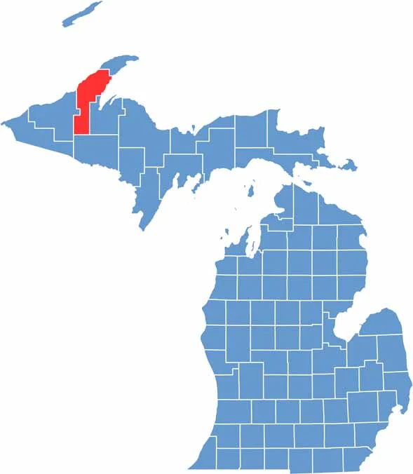

Houghton County location map of Michigan
CategoryDetails
County NameHoughton County
County SeatHoughton
Cities, Towns, and CommunitiesHoughton, Hancock, Calumet, Lake Linden, Laurium, Dollar Bay, South Range
Interstates and HighwaysUS 41, M-26
FIPS Code26-061
Total Area (Land and Water)1,502 square miles (Land: 1,009 sq mi, Water: 493 sq mi)
Adjacent Counties (and Direction)Keweenaw County (North), Baraga County (East), Iron County (South), Ontonagon County (West)
Time ZoneEastern Time Zone (ET)
StateMichigan
Coordinates47.1211° N, 88.5695° W
EtymologyNamed after Douglass Houghton, the first state geologist of Michigan
Major LandmarksMichigan Technological University, Isle Royale National Park, Quincy Mine, Keweenaw National Historical Park
PopulationApproximately 37,000
Scroll to Top