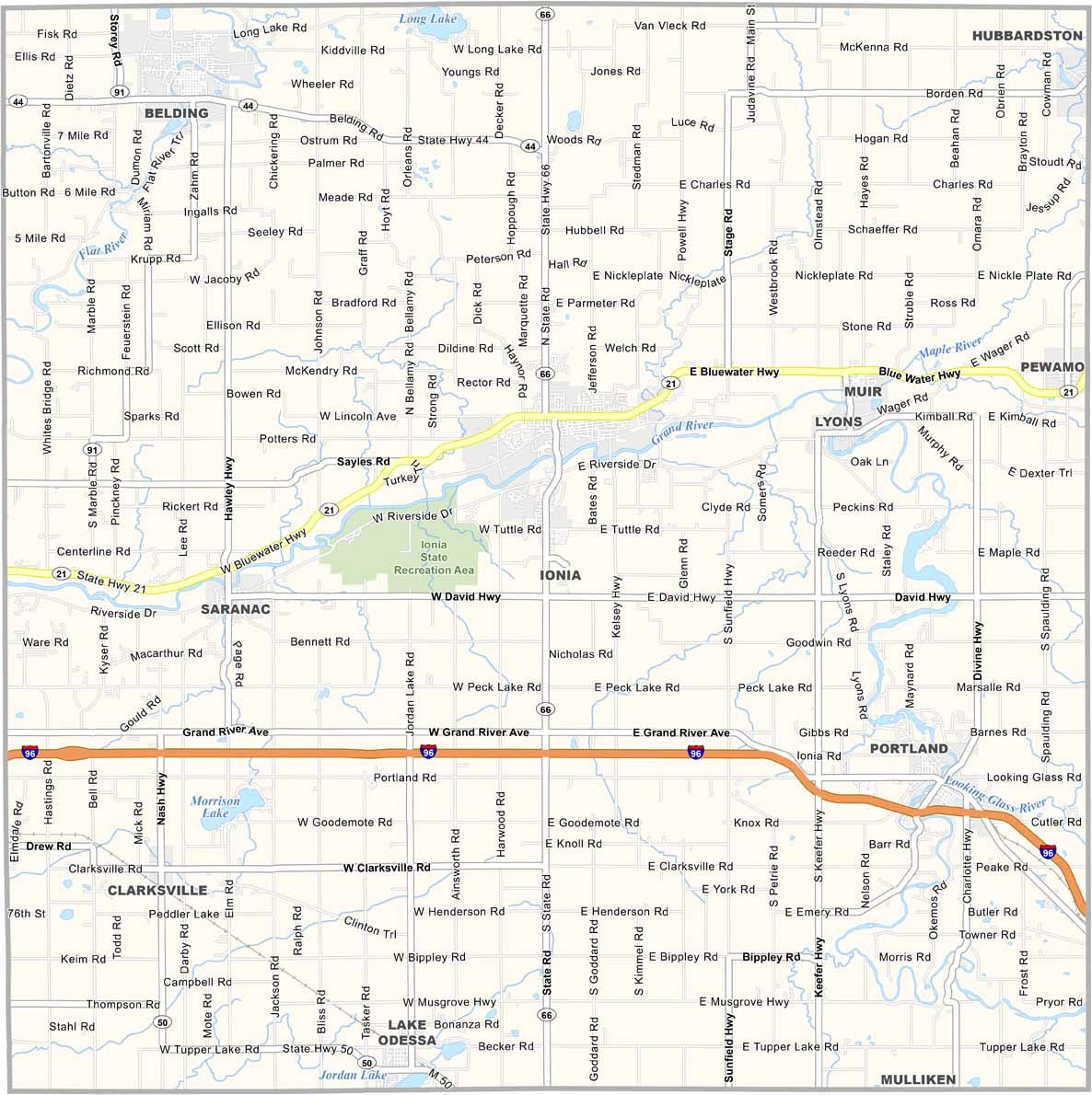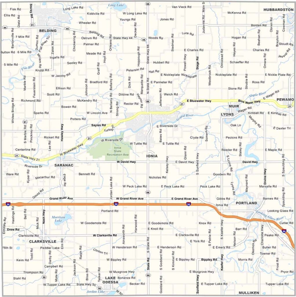
Ionia County Map, Michigan

Ionia County, Michigan

Ionia County sits in the heart of Michigan’s Lower Peninsula. The Grand River flows through the county, passing through Muir and Saranac.

Locals enjoy plenty of outdoor recreation, including fishing and hiking. Farmers grow everything from corn to Christmas trees, while visitors can explore 19th-century architecture in downtown Ionia.

The Ionia County Fair is a big summer event. Kids and adults come for the rides and plenty of deep-fried everything. In Ionia County, you’re never too far from a friendly face or a scenic view.
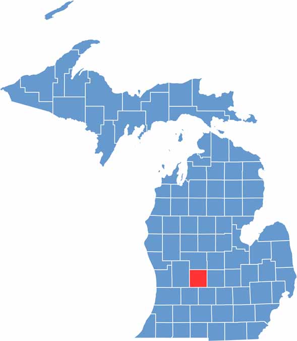

Ionia County location map of Michigan
CategoryDetails
County NameIonia County
County SeatIonia
Cities, Towns, and CommunitiesIonia, Portland, Belding, Lake Odessa, Clarksville, Saranac, Muir
Interstates and HighwaysI-96, M-21, M-44, M-66, M-50
FIPS Code26-067
Total Area (Land and Water)580 square miles (Land: 571 sq mi, Water: 9 sq mi)
Adjacent Counties (and Direction)Gratiot County (Northeast), Montcalm County (North), Clinton County (East), Kent County (West), Eaton County (Southeast), Barry County (Southwest)
Time ZoneEastern Time Zone (ET)
StateMichigan
Coordinates42.9818° N, 85.0668° W
EtymologyNamed after Ionia, a province in ancient Greece
Major LandmarksIonia State Recreation Area, Bertha Brock Park, Historic Ionia Theatre, Fred Meijer Grand River Valley Trail
PopulationApproximately 65,000
Scroll to Top