
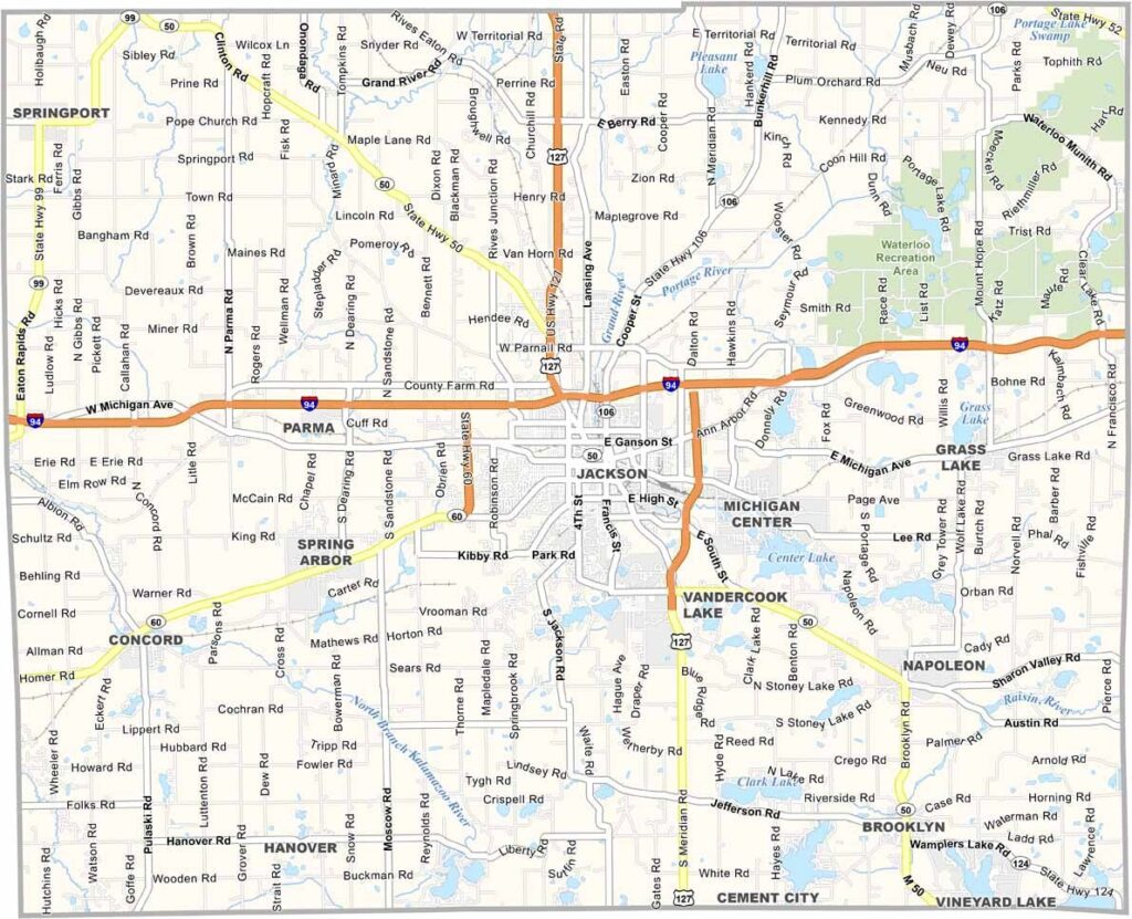
Jackson County sits in the heart of Michigan, where history and nature intertwine. It’s located in the south-central part of the state, about an hour west of Detroit.
The county seat, Jackson, has a rich history as a railroad hub. In fact, it was once known as the “Birthplace of the Republican Party.” But there’s more to the area than just politics and trains.
There are countless opportunities for outdoor recreation, with fishing, hiking, and camping being big draws. Visit Jackson County, and you might just find yourself saying, “Well, I’ll be a Michigander!”
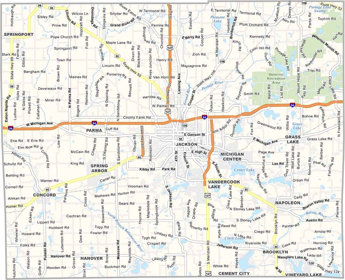
Our Jackson County Road Map shows a highway network that keeps drivers moving in every direction. I-94 runs east to west across the northern half and serves as the main highway. US 127, M-50, and M-60 also help keep traffic flowing.
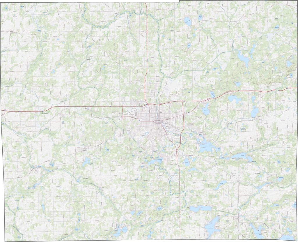
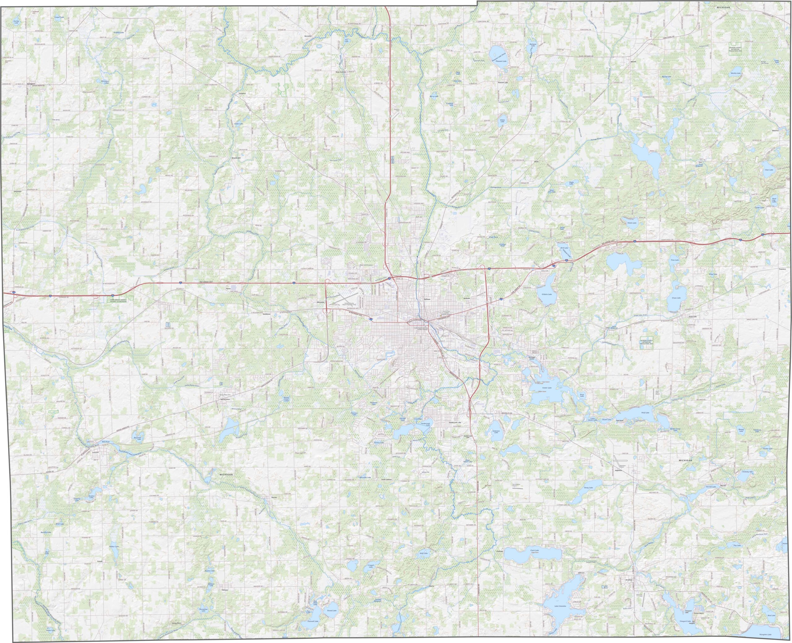
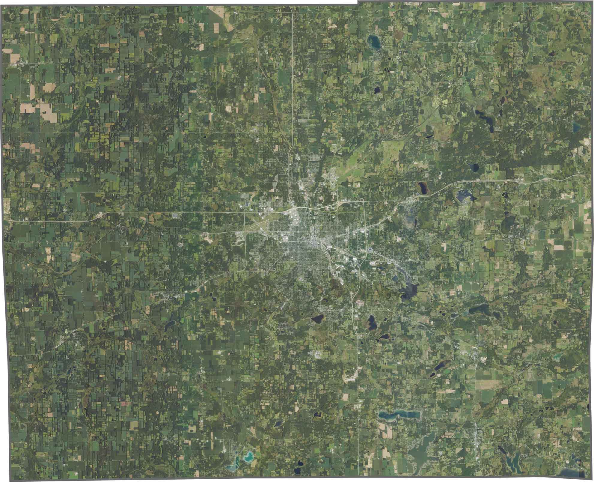
The city of Jackson stands out near the center with its dense street grid. Lakes are scattered throughout Jackson County. While agricultural fields cover much of the land, forested areas hug the shorelines.
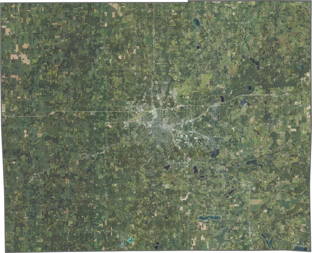
Jackson County has a slightly uneven outline, with gentle curves here and there. No rivers form its borders, and it doesn’t touch another state. Overall, the county is nearly a perfect rectangle.








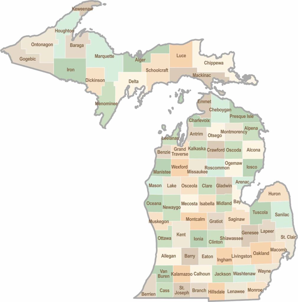
From Motown to moose sightings, Michigan’s 83 counties offer an impressive mix of urban energy, natural beauty, and outdoor adventure. Detroit celebrates its legendary Motown music heritage, while Ann Arbor brings a lively college-town atmosphere shaped by the University of Michigan. From the shores of the Great Lakes to the forests of the Upper Peninsula, the Mitten State delivers a diverse landscape filled with history, culture, and scenic attractions.