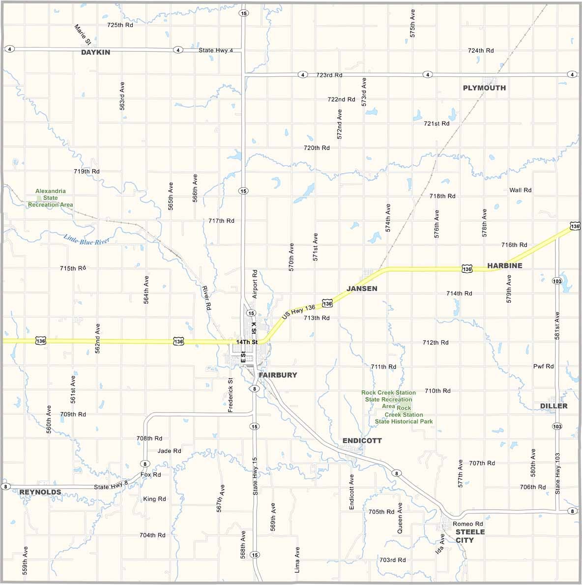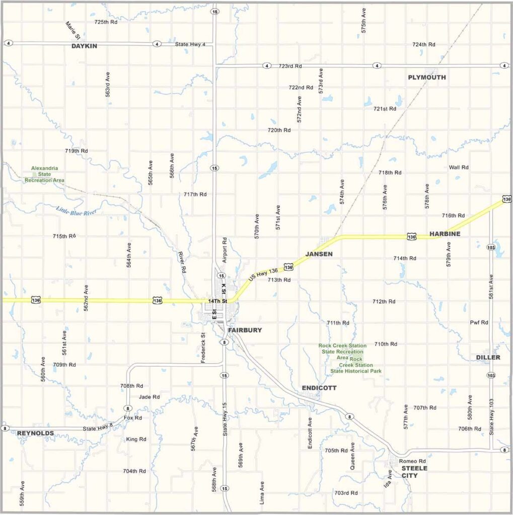
Jefferson County Map, Nebraska

Jefferson County, Nebraska

Jefferson County is located in southeastern Nebraska. Fairbury serves as the county seat and sits near the center of the county. It’s conveniently located along U.S. Highway 136.

The historic town square is worth seeing, with brick buildings and a courthouse that looks like it belongs to another century. The Blue River flows through Fairbury and across the county.

The county has more than its share of parks, and locals enjoy plenty of outdoor recreation. Fishing, hiking, and camping are popular activities. Agriculture is still king, with corn and soybean fields covering much of the area.
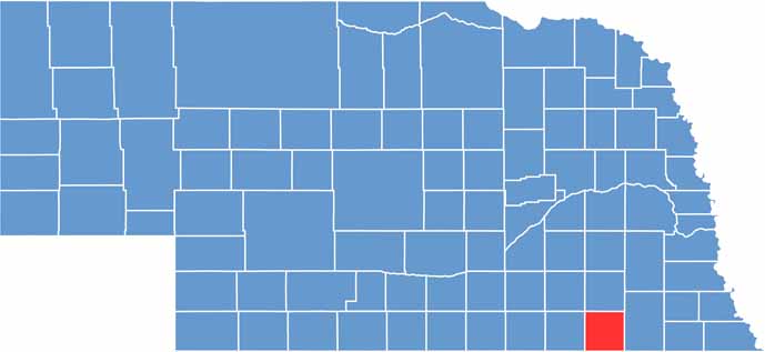

Jefferson County location map of Nebraska
CategoryDetails
County NameJefferson County
County SeatFairbury
EtymologyNamed after Thomas Jefferson, the 3rd President of the United States
Cities, Towns, and CommunitiesFairbury, Steele City, Daykin, Jansen, Plymouth, Endicott, Diller
Interstates and HighwaysUS 136, NE 8, NE 4
FIPS Code31-095
Total Area (Land and Water)576 square miles (Land: 570 sq mi, Water: 6 sq mi)
Adjacent Counties (and Direction)Saline County (North), Gage County (East), Washington County, Kansas (South), Republic County, Kansas (Southwest), Thayer County (West), Fillmore County (Northwest)
Time ZoneCentral Time Zone (CT)
StateNebraska
Coordinates40.1807° N, 97.1380° W
Major LandmarksRock Creek Station State Historical Park, Jefferson County Courthouse, Fairbury City Museum
PopulationApproximately 7,000
Scroll to Top