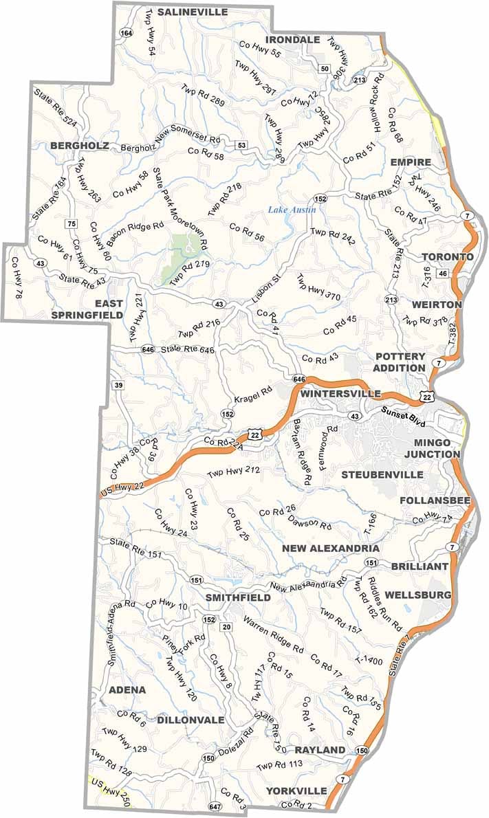
Jefferson County Map, Ohio

Jefferson County, Ohio

Jefferson County sits along the Ohio River in eastern Ohio, next to West Virginia, and it’s a place with deep roots. The county was founded way back in 1797, making it one of the oldest in the state.

Steubenville, the county seat, has a rich history tied to the Underground Railroad, and you’ll find remnants of the past everywhere you look. Old buildings. Historic districts. But there’s more to Jefferson than just history.

The county has its share of natural beauty too, with rolling hills and winding streams. Locals love outdoor recreation here, from fishing to hiking and everything in between. Jefferson County is also known for its strong sense of community, where people look out for each other.
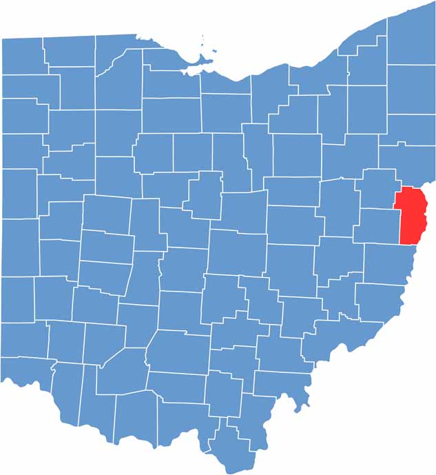

Jefferson County location map of Ohio
CategoryDetails
County NameJefferson County
County SeatSteubenville
EtymologyNamed after President Thomas Jefferson
Cities, Towns, and CommunitiesSteubenville, Toronto, Wintersville, Mingo Junction
Interstates and HighwaysU.S. Highway 22, U.S. Highway 43, State Route 7
FIPS Code39-081
Total Area408 square miles (land and water)
Adjacent CountiesColumbiana County (North), Hancock County, West Virginia (Northeast), Brooke County, West Virginia (East), Ohio County, West Virginia (Southeast), Belmont County (South), Harrison County (Southwest), Carroll County (Northwest)
Time ZoneEastern Time Zone
StateOhio
Coordinates40.3793° N, 80.6440° W
Major LandmarksFort Steuben, Jefferson County Historical Association
PopulationApproximately 65,000
Scroll to Top