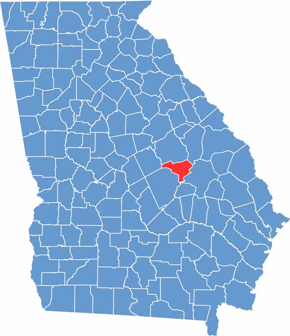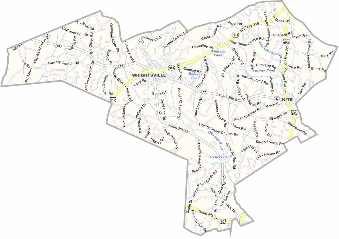
Johnson County embodies the timeless charm of small-town Georgia. Located in the east-central part of the state, roughly halfway between Macon and Augusta, it is home to Wrightsville, the county seat, a small community with a rich history and welcoming atmosphere.
Established in 1858, Johnson County has deep agricultural roots that continue to shape its identity. Cotton fields blanket much of the landscape, while the Ohoopee River winds through the county, providing scenic views and popular fishing spots. In downtown Wrightsville, the historic courthouse, built in 1895, stands as a lasting symbol of the county’s heritage.
Residents take pride in their close-knit community, where conversations on front porches and gatherings at local diners remain a cherished part of daily life. Although Johnson County embraces its traditions and rural character, it also continues to grow and evolve, striking a balance between preserving its history and looking toward the future.