
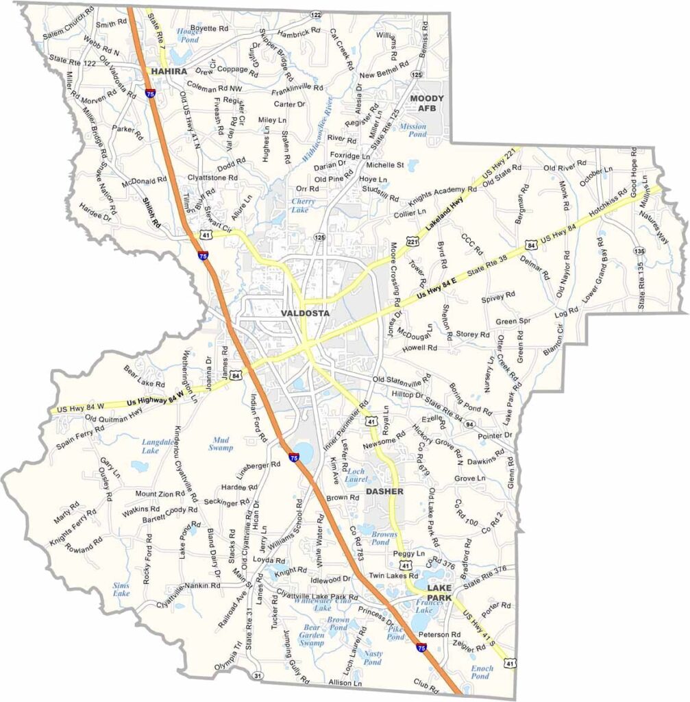
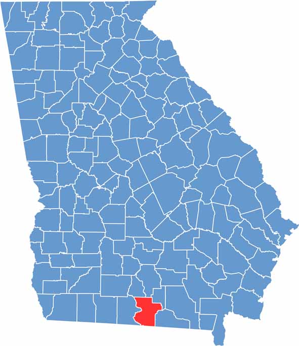
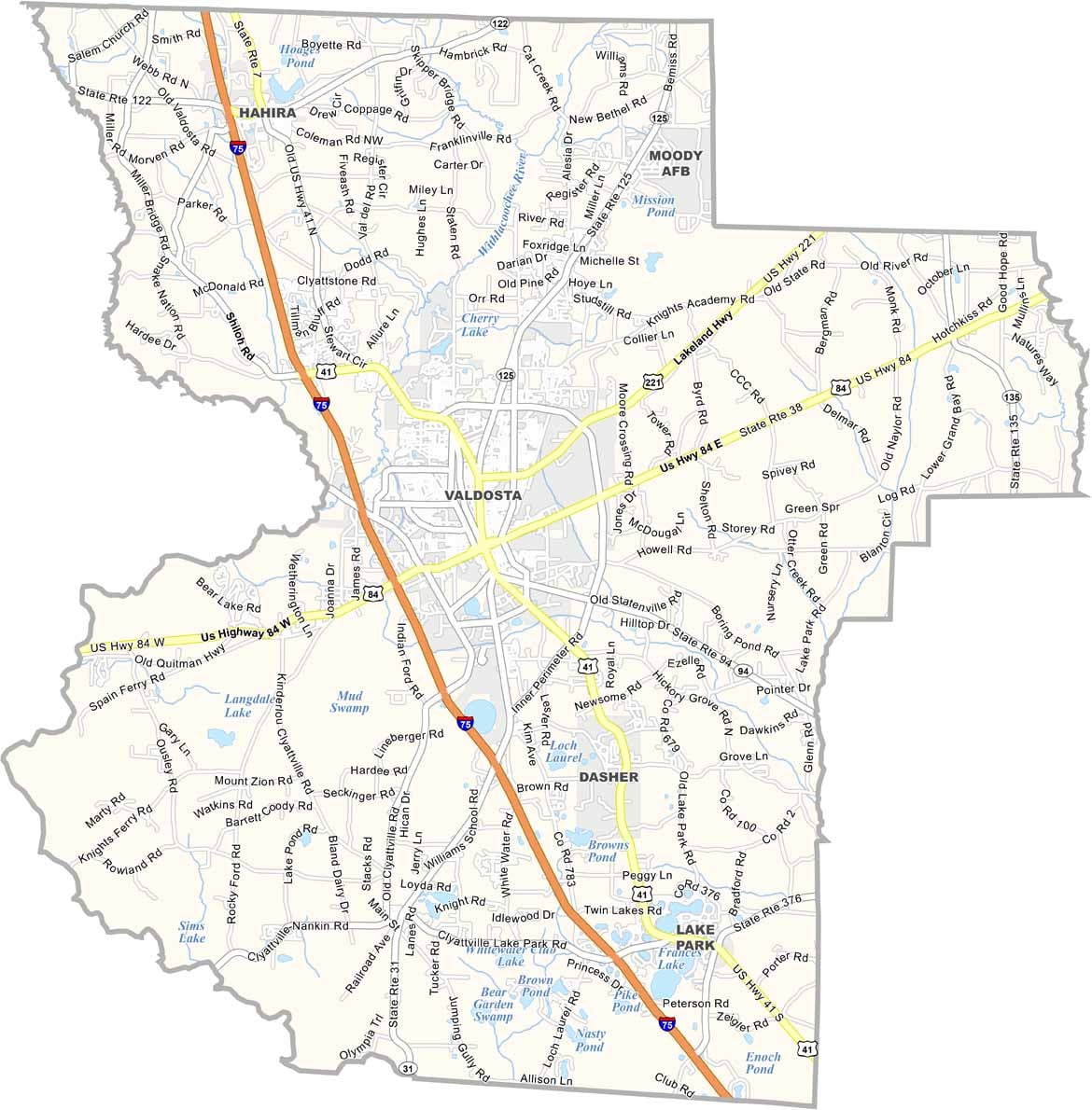
Lowndes County is located in the heart of south Georgia along the Florida border. Its county seat, Valdosta, is the largest city in the county and serves as the region's economic, cultural, and educational center. It is also home to Valdosta State University.
Established in 1825, Lowndes County has a long and proud history. Agriculture remains an important part of the local economy, with cotton, tobacco, and pecans among its leading crops. The county is also a popular destination for visitors, thanks to Wild Adventures Theme Park, which attracts guests from across the Southeast.
Downtown Valdosta features beautifully preserved historic buildings, unique local shops, and a welcoming atmosphere. Outdoor enthusiasts can enjoy fishing, kayaking, and other recreational activities along the Withlacoochee and Little rivers.
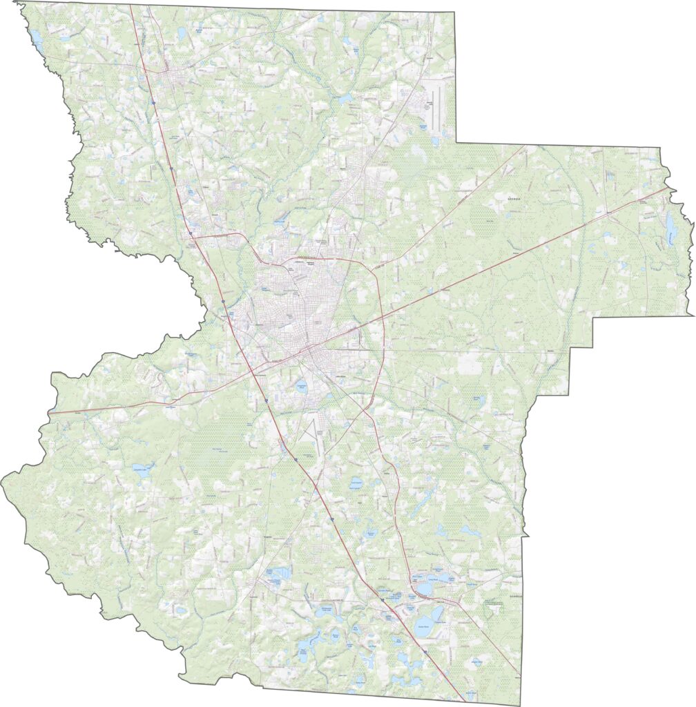
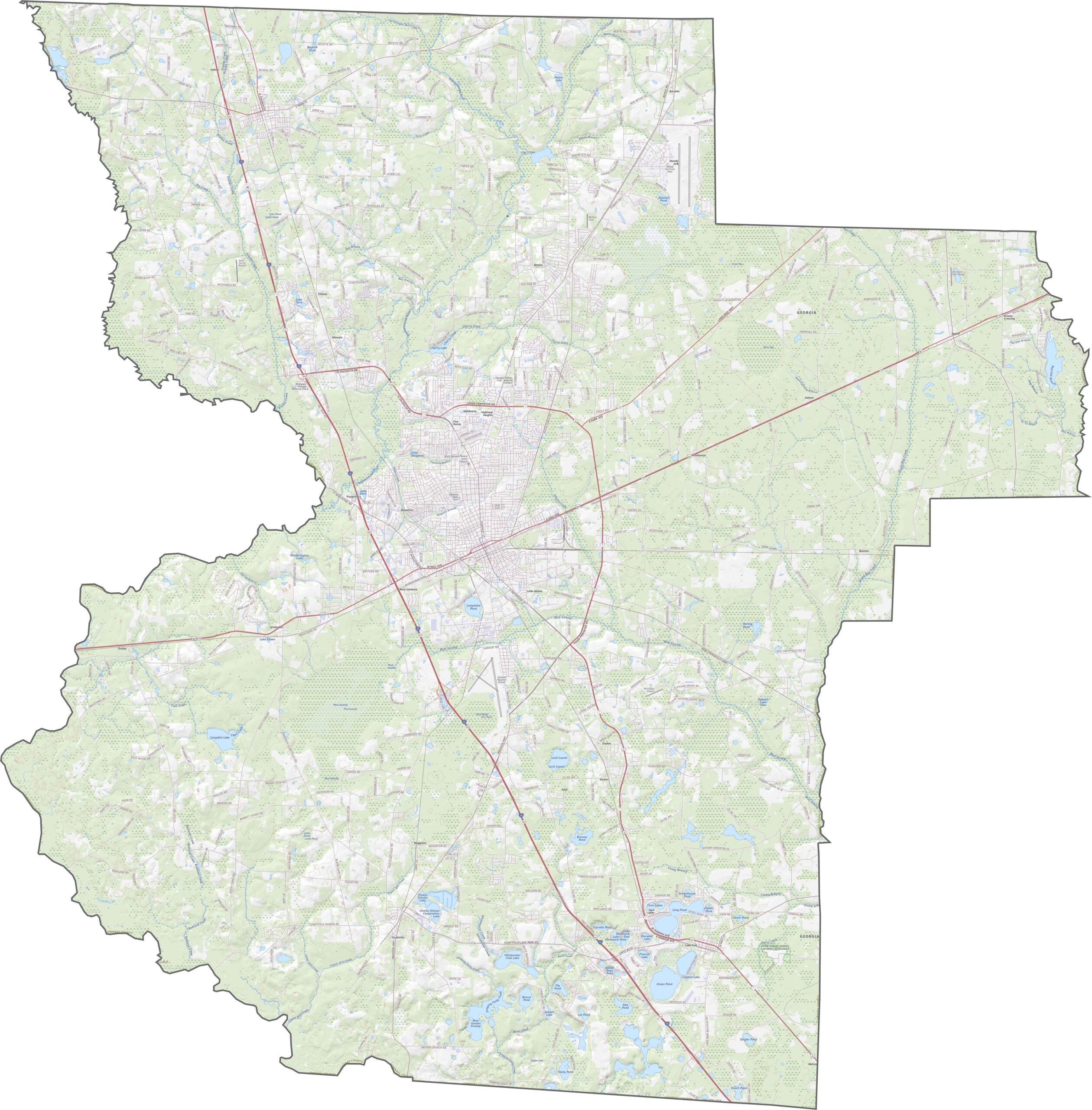
This Lowndes County topographic map highlights the region’s mostly flat coastal plain, with only subtle changes in elevation. The southern portion contains more ponds and lakes than the northern areas, while Valdosta sits near the center of the county with several major highways passing through.
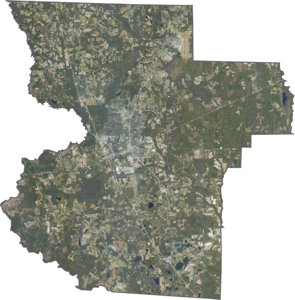
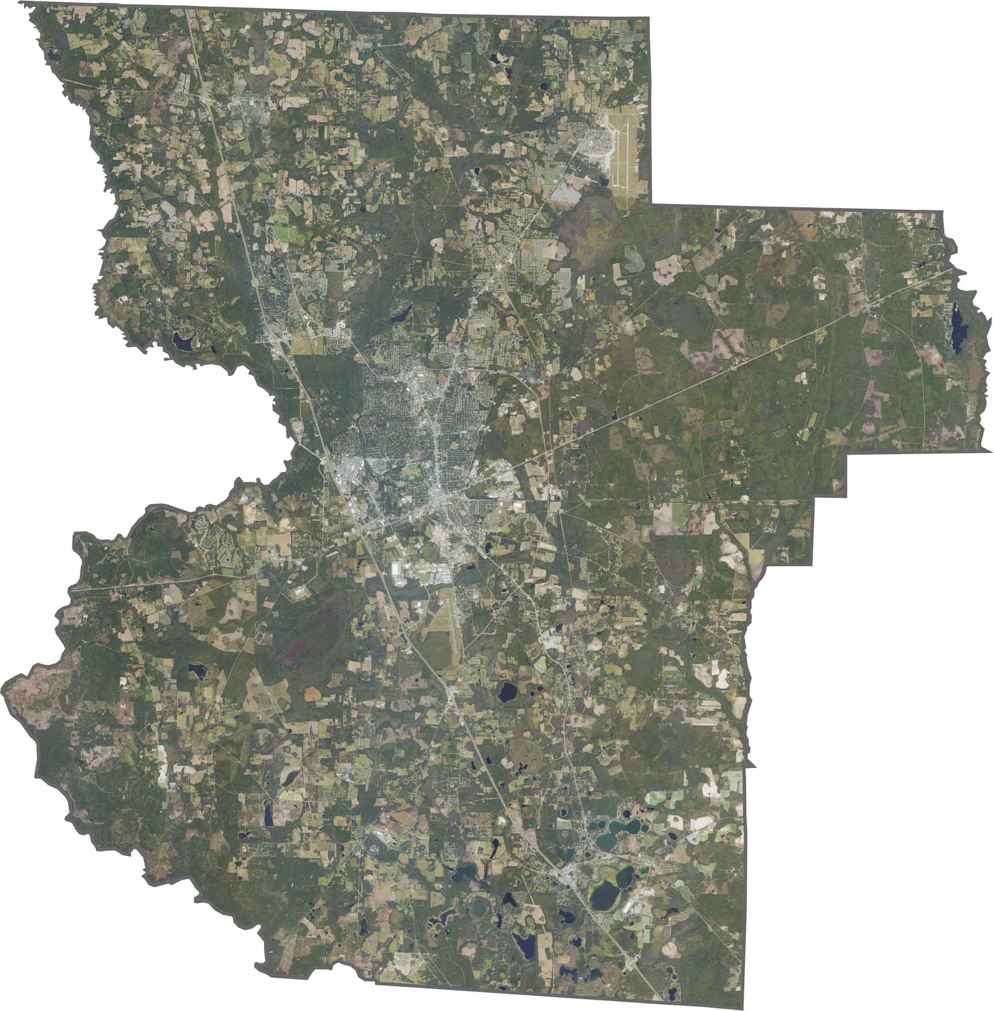
Our Lowndes County satellite map provides a detailed aerial view of the landscape. The southern edge borders Florida, revealing noticeable differences in land use across the state line. In the eastern portion, Moody Air Force Base stands out with its runways and training areas surrounded by expansive pine forests.
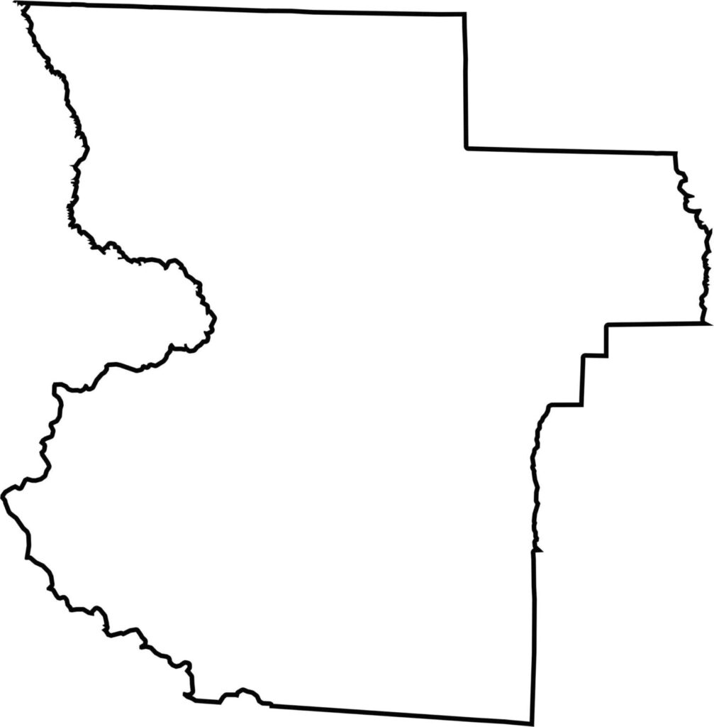
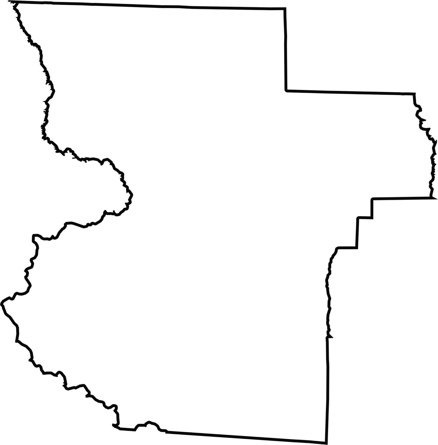
The Lowndes County outline map shows an irregular overall shape. Its southern boundary follows the Florida-Georgia state line, while the Withlacoochee River forms much of the western boundary and creates a natural border with Brooks County.







Now available! Our Georgia county map highlights all 159 counties with exceptional detail and clarity. Whether you're exploring geography, planning a trip, or learning more about the Peach State, this comprehensive map is the resource you've been looking for. Discover Georgia like never before and explore every corner of the state.