
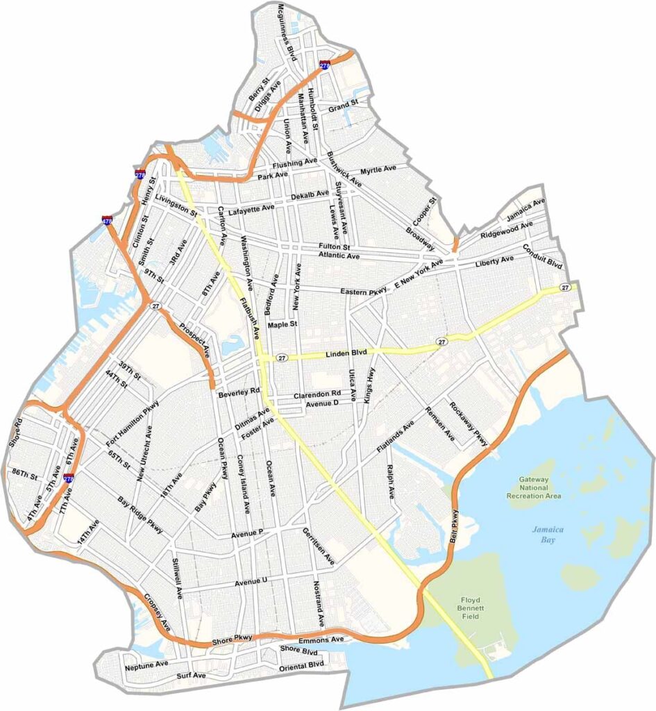
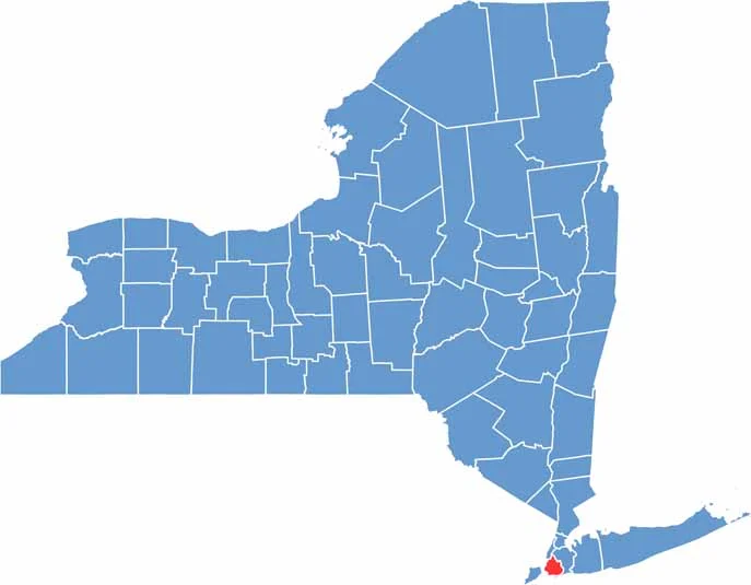
Kings County, better known as Brooklyn, is the most populous county in New York State. It’s a melting pot of cultures, cuisines, and creativity, stretching from the iconic Brooklyn Bridge to the sandy shores of Coney Island.
The county has a rich history, especially in neighborhoods such as Brooklyn Heights, known for its beautiful brownstones. Prospect Park was designed by the same team behind Central Park, while Brooklyn’s art scene has earned worldwide attention through its galleries and street art.
Sports fans cheer for the Brooklyn Nets and still fondly remember the Dodgers. The Brooklyn Museum features an impressive collection of ancient Egyptian art. Kings County continues to pulse with energy, reflecting the ever-changing spirit of New York City.
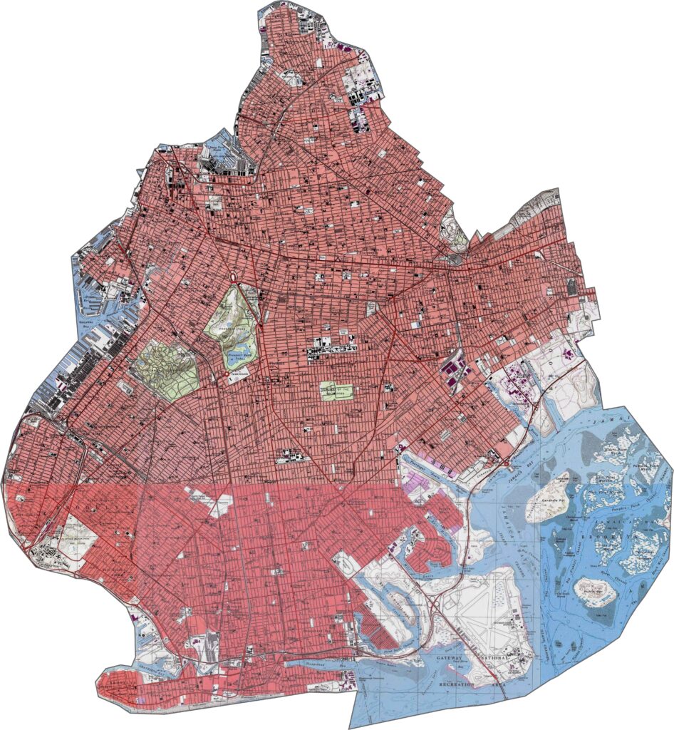
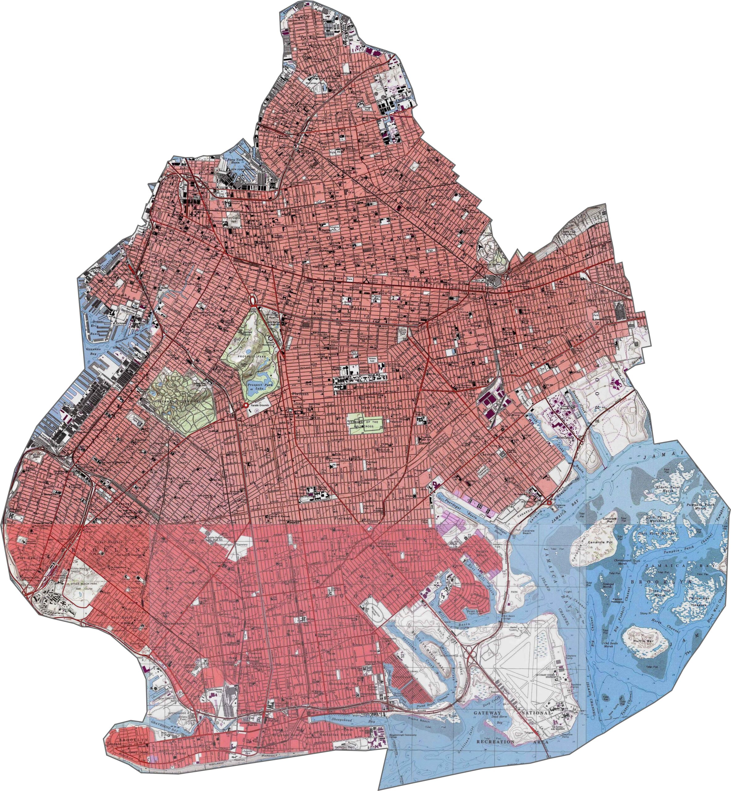
Kings County is mostly flat, but it isn’t completely level. Battle Hill is the highest point, while the land gradually slopes toward the waterfront. Explore the terrain in greater detail with our topographic map and zoom tool below.
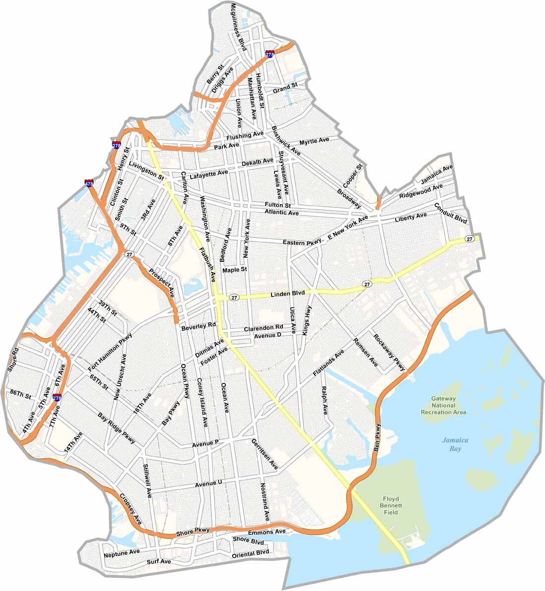
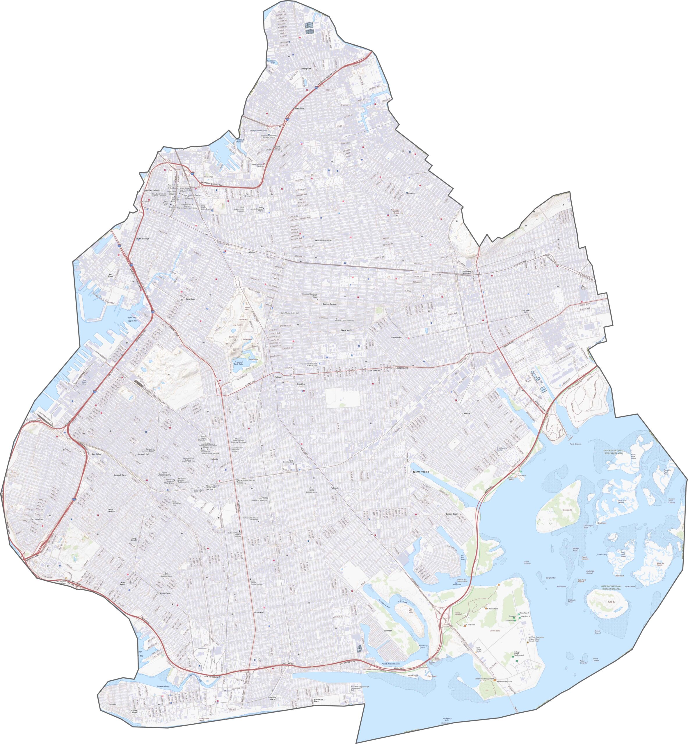
Brooklyn’s road network is dense and busy. I-278, also known as the Brooklyn-Queens Expressway, runs through the middle of the borough, while the Belt Parkway follows the southern shoreline. Our zoom tool makes it easier to trace the highways, ramps, and major routes.
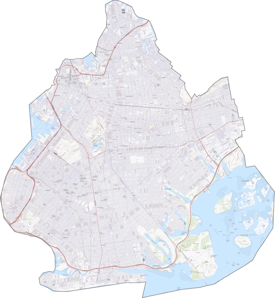
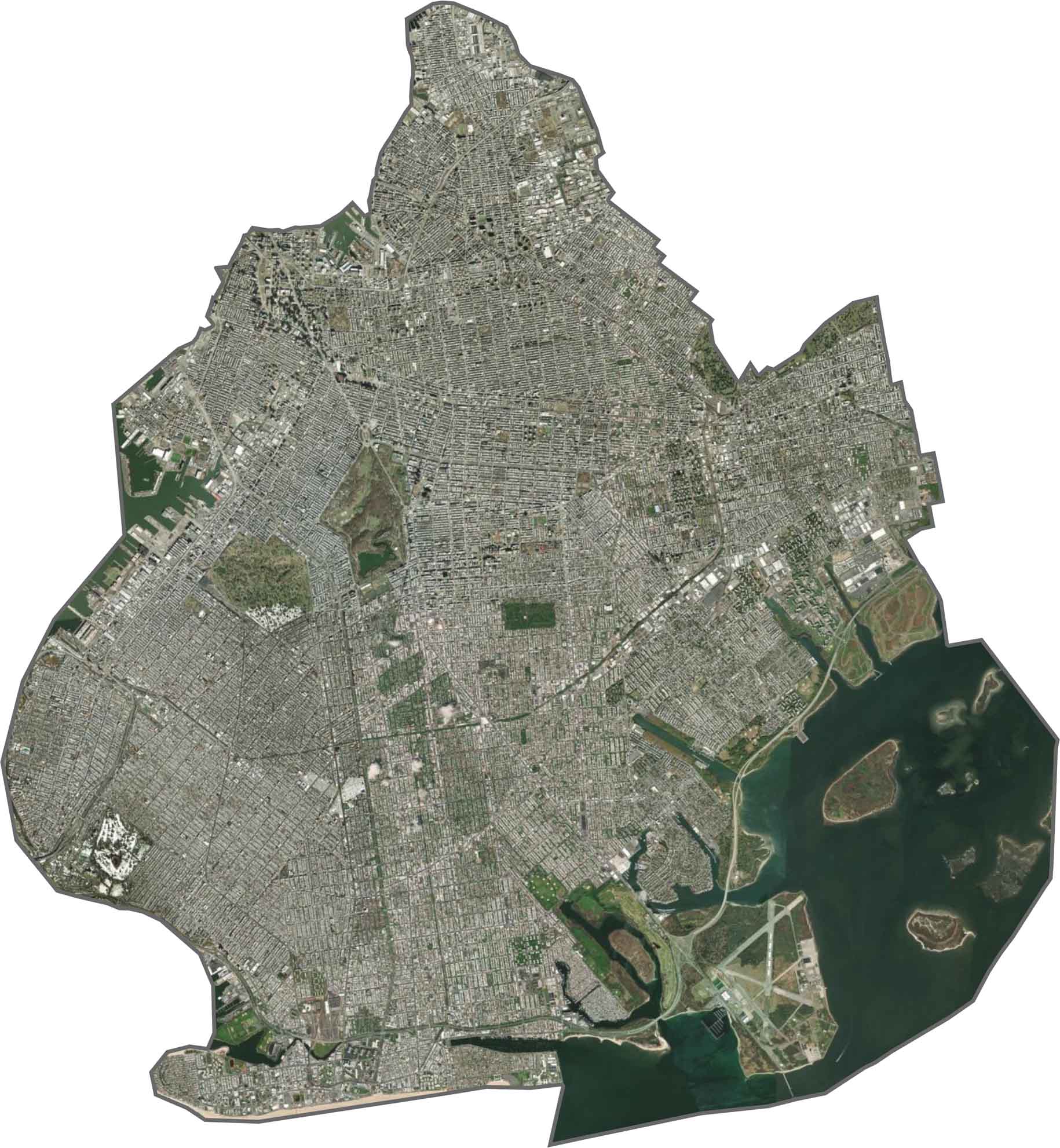
From above, development covers nearly the entire landscape. Buildings, streets, and parks fill most of the borough, with Prospect Park standing out as one large patch of green. Coney Island curves into the sea at the southern tip, while bridges and piers extend across the surrounding waters.
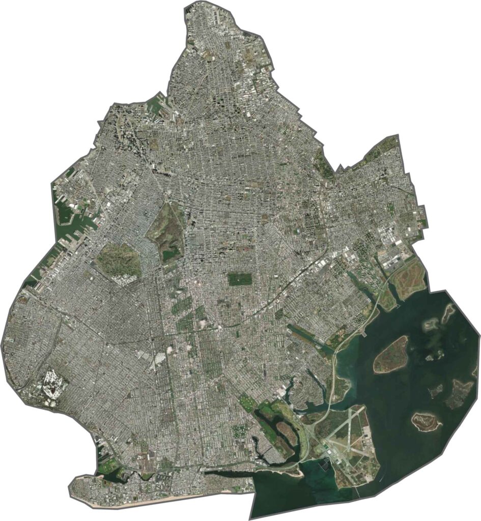
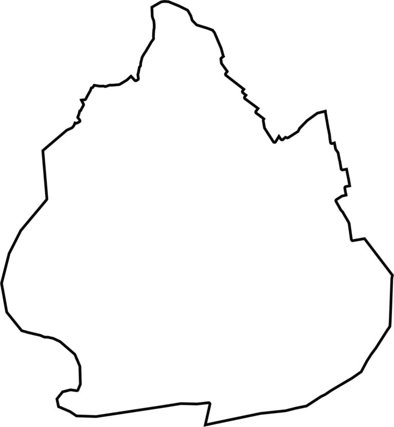
Kings County is the same as Brooklyn, one of New York City’s five boroughs. Its shoreline is jagged, with numerous inlets, creeks, and bays. The shape curves around Jamaica Bay and extends toward the Atlantic at Coney Island. Manhattan and Queens County lie nearby.








New York has 62 counties, and each one has its own personality. From the nonstop energy of Manhattan to the quiet wilderness of the Adirondacks, there’s plenty of variety to explore. And yes, we can’t forget those famous Buffalo wings. Explore our New York county maps.