
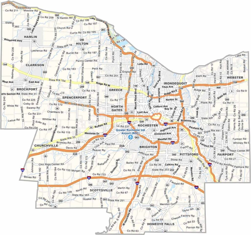
Monroe County sits in western New York along Lake Ontario and the Genesee River. It’s home to Rochester, the state’s third-largest city and a major center of innovation. The county also has a rich history in photography and imaging, thanks to companies such as Kodak and Xerox.
Monroe County is home to the Strong National Museum of Play, while the Erie Canal runs through the area and offers a glimpse into New York’s industrial past.
Highland Park comes alive with color during the annual Lilac Festival, the largest event of its kind in North America. The county is also home to several respected colleges and universities, including the University of Rochester and RIT.
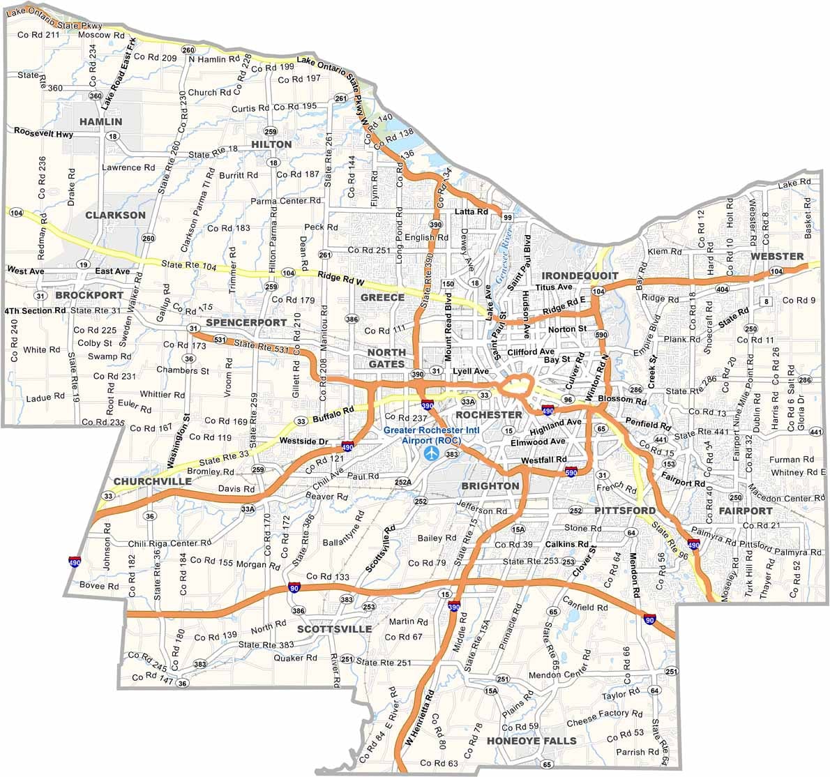
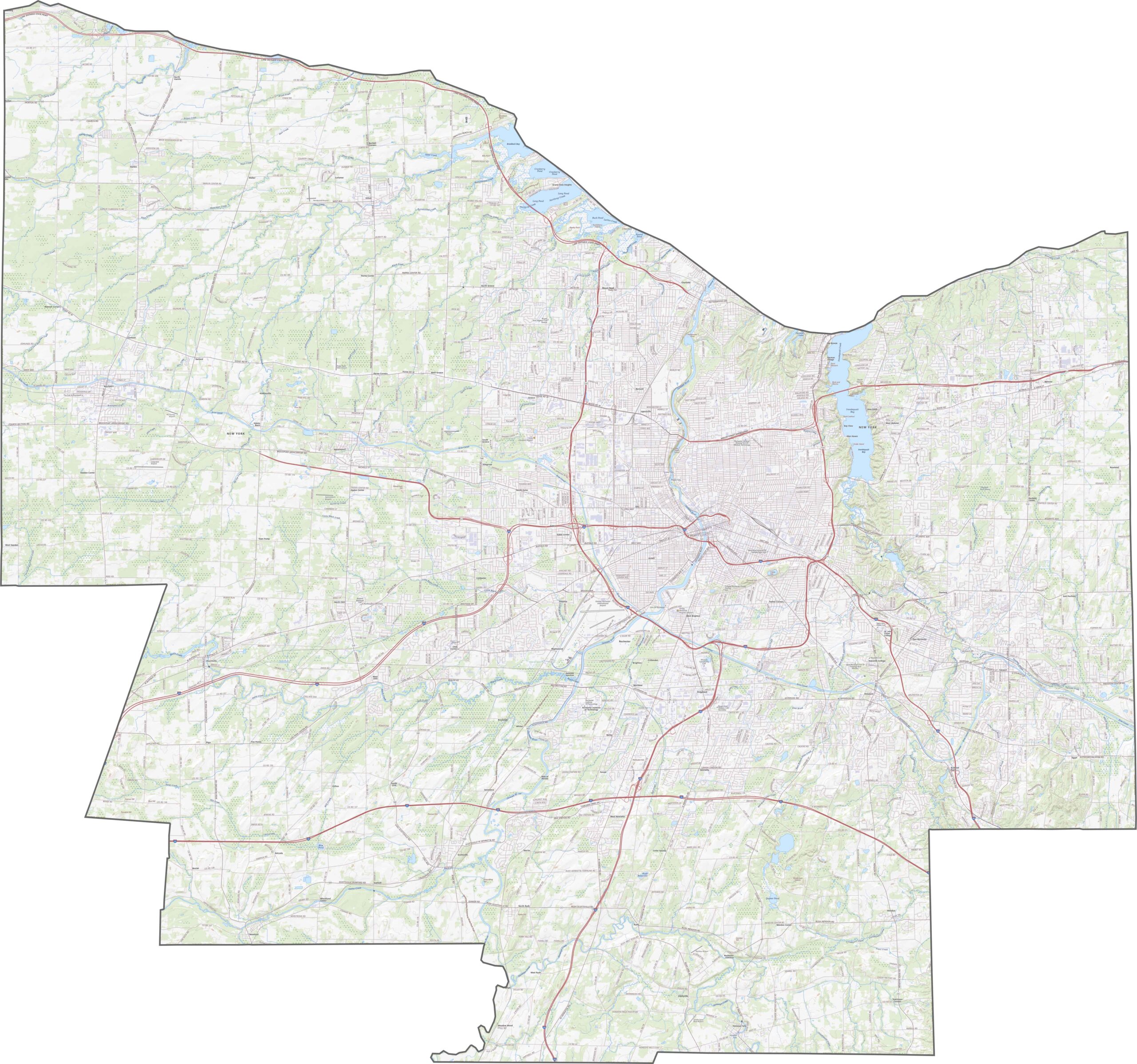
Monroe County has a strong highway network. I-390 and I-590 form the southern and eastern parts of a loop, while I-490 runs through downtown Rochester. I-90 passes just south of the county and skirts its edge. That’s a lot of interstates for one area. Use our zoom tool in the road map below to explore the routes.
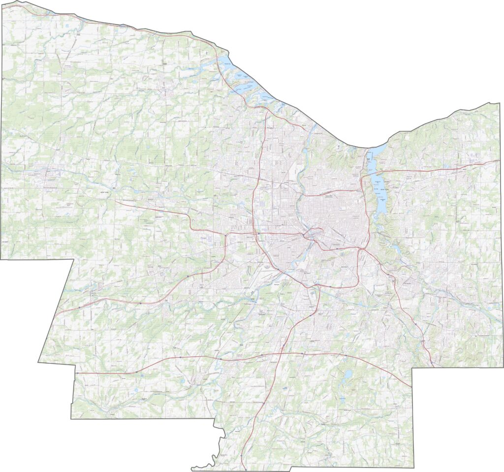
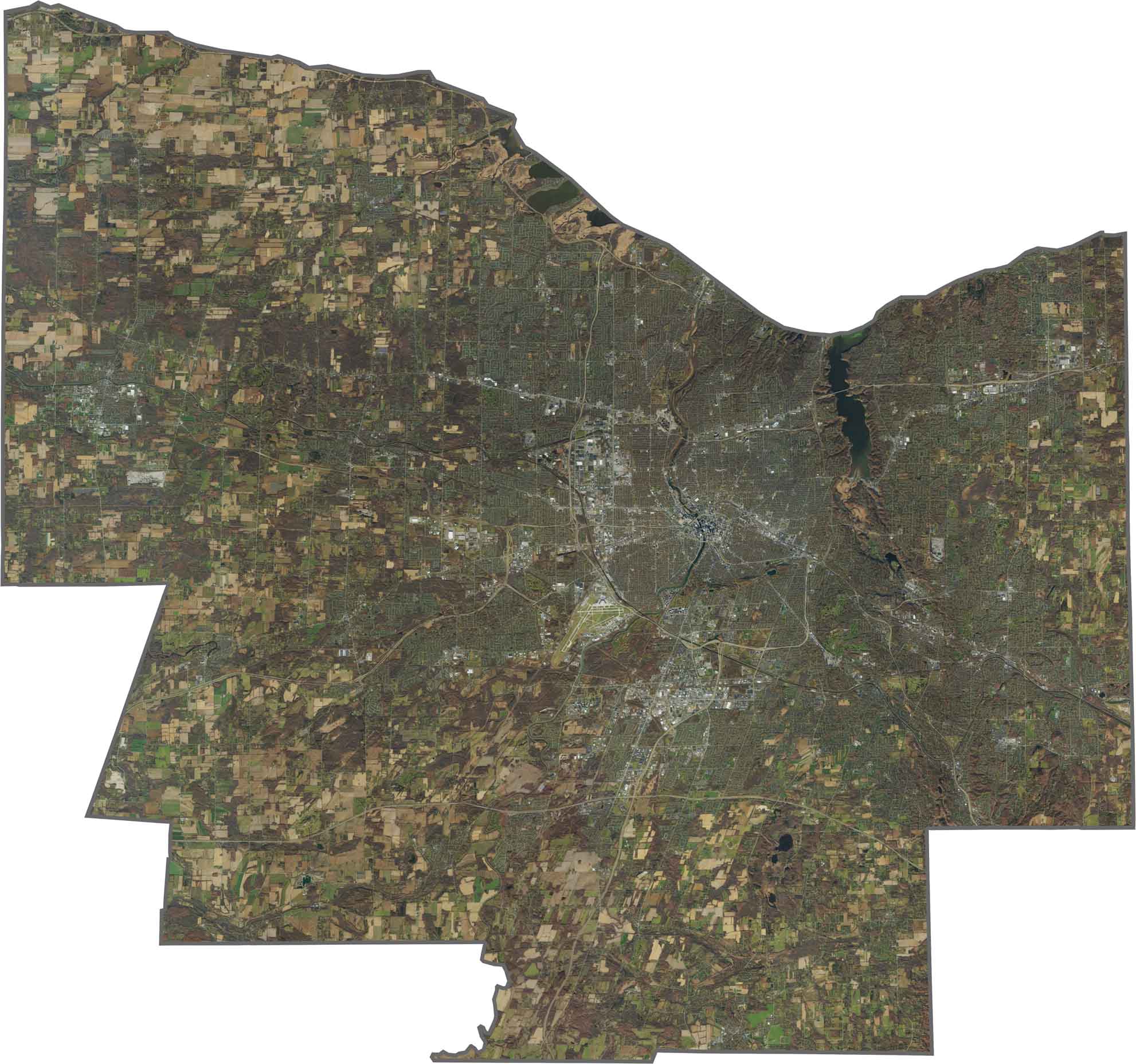
Rochester dominates the center of Monroe County. Outside the urban core, the landscape is mostly suburbs, farmland, and parks. The Genesee River serves as the main waterway, winding from south to north, while Lake Ontario creates a bold northern edge.
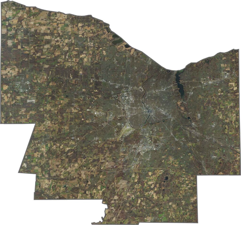
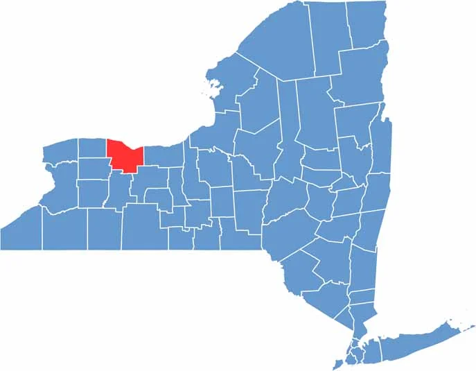
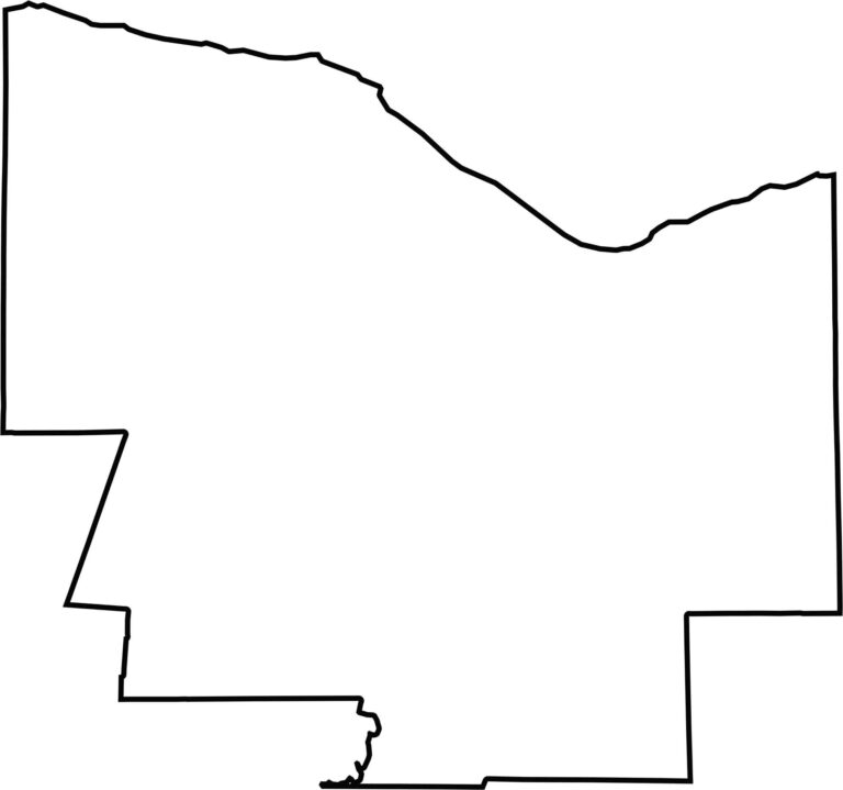
Monroe County has a fairly clean, rectangular shape. Lake Ontario forms its northern border, while the remaining boundaries are shared entirely with other New York counties. No state borders here—just New York neighbors.








New York has 62 counties, and each one has its own personality. From the nonstop energy of Manhattan to the quiet wilderness of the Adirondacks, there’s plenty of variety to explore. And yes, we can’t forget those famous Buffalo wings. Explore our New York county maps.