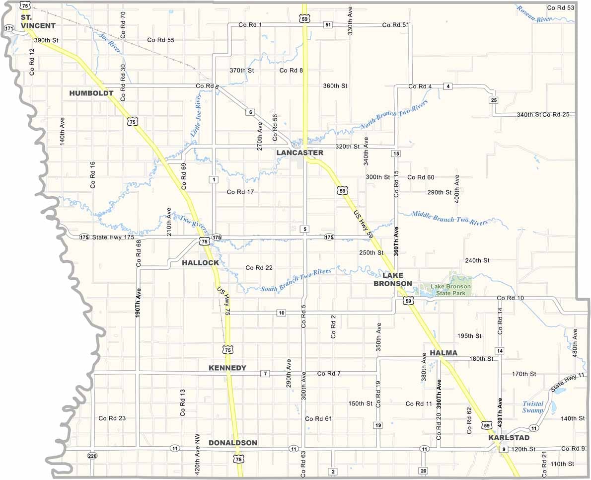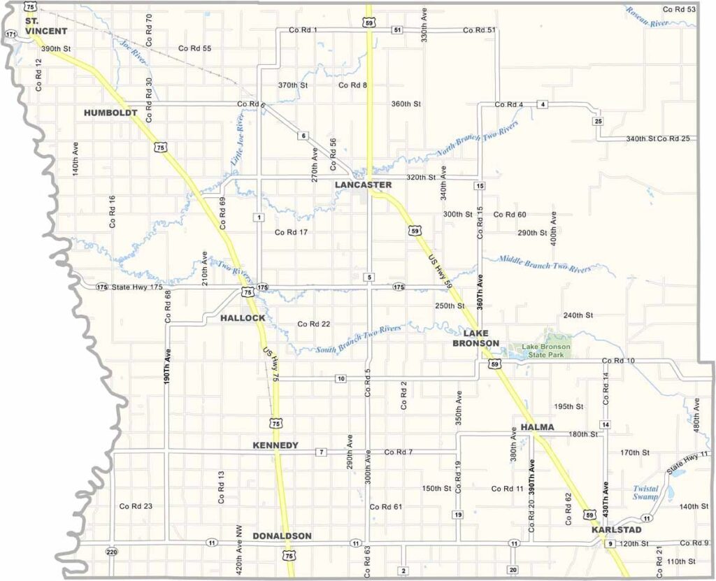
Kittson County Map, Minnesota

Kittson County, Minnesota

Kittson County is way up in the northwestern corner of Minnesota. It's about as close to Canada as you can get without needing a passport. Hallock is the county seat, located in the west.

The land's flat as a pancake up here. Nothing but prairie with farming everywhere. Wheat, soybeans, sugar beets. Yep, they grow it all. The Two Rivers wind through the county, popular with canoeists and anglers.

Believe it or not, there's some great bird watching here. Lake Bronson State Park is a major stopover for migrating waterfowl. Oh, and if you're into hunting, this place is paradise. Deer, pheasants, even the occasional moose wanders down from Canada, eh.
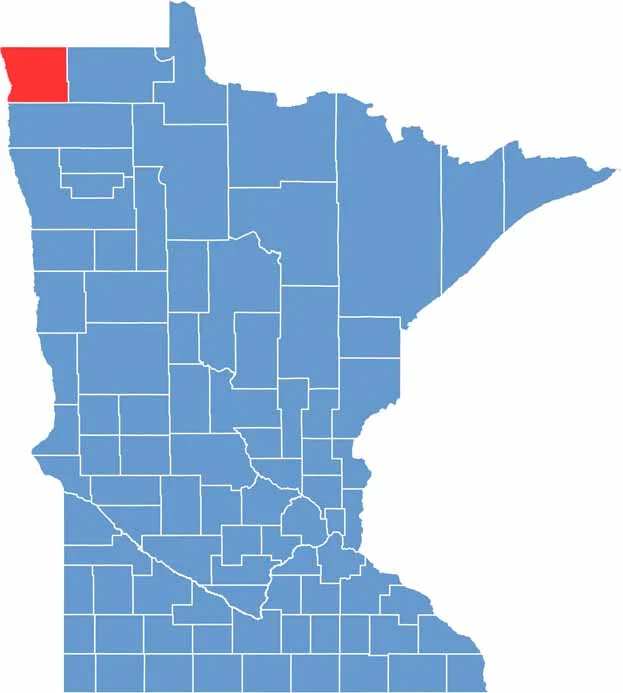

Kittson County location map of Minnesota
CategoryDetails
County NameKittson County
County SeatHallock
PopulationApproximately 4,200
Cities, Towns, and CommunitiesHallock, Karlstad, Lancaster, Lake Bronson, Donaldson, Kennedy, Halma, Humboldt
Interstates and HighwaysUS 59, MN 11, MN 75, MN 171
FIPS Code27-069
Total Area (Land and Water)1,103 square miles (Land: 1,098 sq mi, Water: 5 sq mi)
Adjacent Counties (and Direction)Roseau County (East), Marshall County (South), Walsh County, North Dakota (Southwest), Pembina County, North Dakota (West)
Time ZoneCentral Time Zone (CT)
StateMinnesota
Coordinates48.7886° N, 96.7581° W
EtymologyNamed after Norman Kittson, a prominent fur trader and entrepreneur in the region
Major LandmarksLake Bronson State Park, Old Mill State Park, Kittson County Historical Museum
Scroll to Top