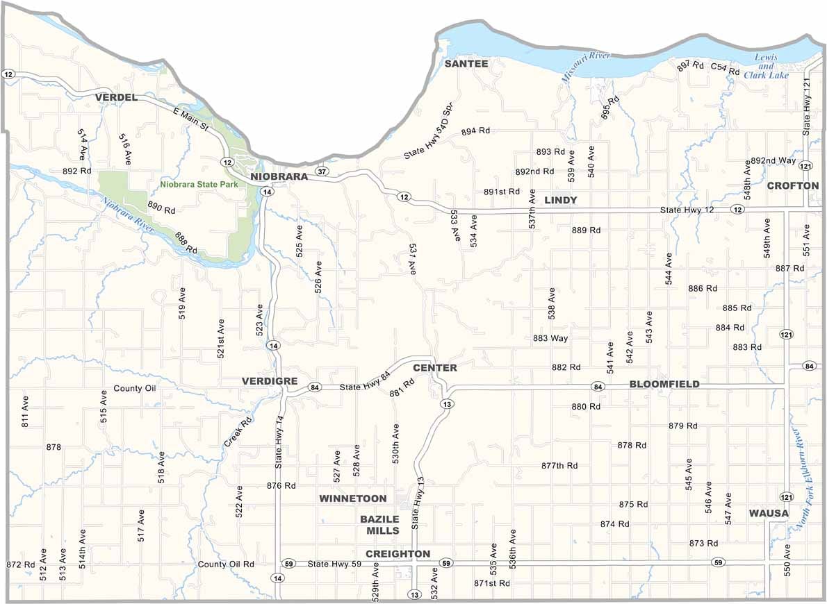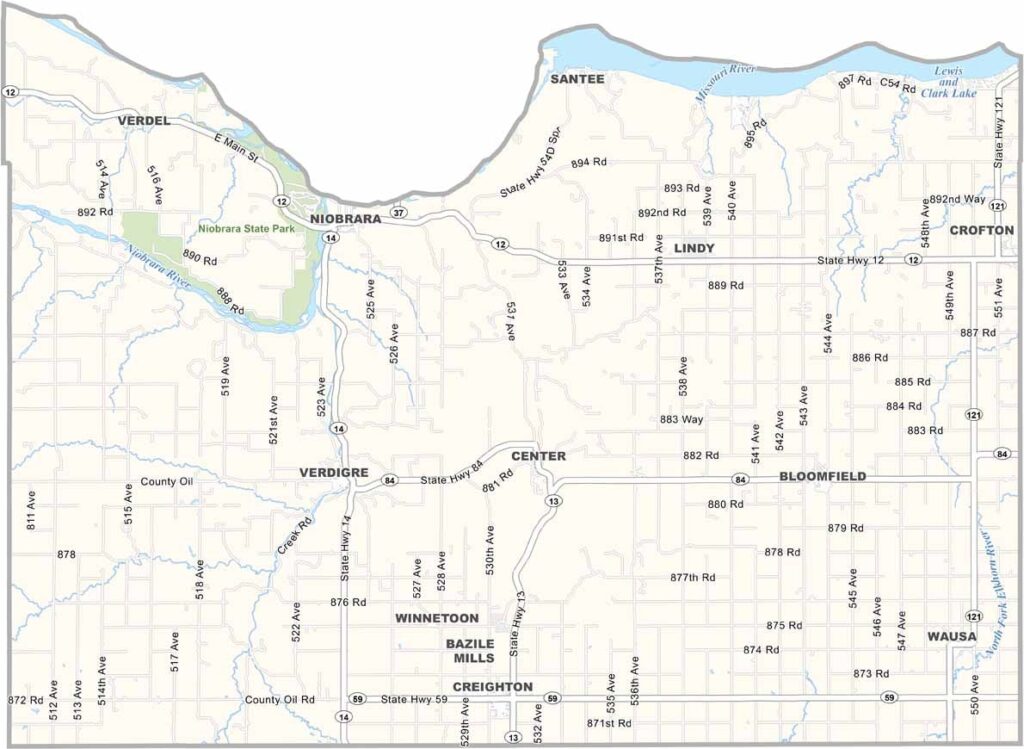
Knox County Map, Nebraska

Knox County, Nebraska

Knox County stretches along the northern edge of Nebraska, bordering South Dakota. The Missouri River forms its northern boundary, while rolling hills and deep valleys shape much of the landscape.

The Niobrara River meets the Missouri here, near Niobrara State Park. Lewis and Clark Lake is also a popular attraction for visitors. Farming and ranching are the main industries, with corn, soybeans, and cattle making up much of the local economy. Yep, it’s the usual Nebraska stuff.

Several small towns are scattered throughout the county, with Creighton being the largest. But “large” is relative out here. The population has been declining for years, with many young people leaving for the cities. Those who remain have a deep connection to the land, which has been part of their families for generations.
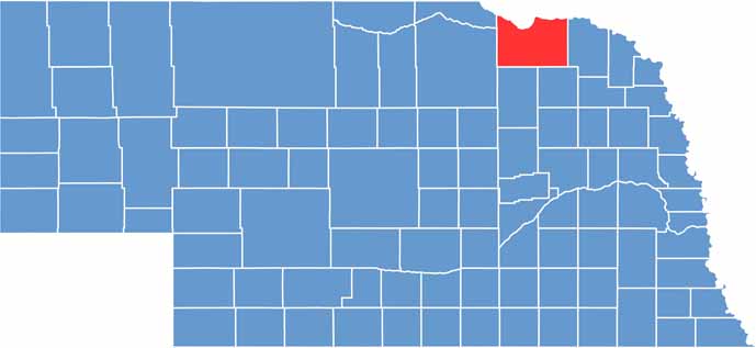

Knox County location map of Nebraska
CategoryDetails
County NameKnox County
County SeatCenter
EtymologyNamed after Major General Henry Knox, the first U.S. Secretary of War
Cities, Towns, and CommunitiesCreighton, Bloomfield, Crofton, Verdigre, Wausa, Niobrara, Winnetoon, Center
Interstates and HighwaysUS 20, NE 12, NE 84
FIPS Code31-107
Total Area (Land and Water)1,140 square miles (Land: 1,108 sq mi, Water: 32 sq mi)
Adjacent Counties (and Direction)Bon Homme County, South Dakota (North), Yankton County, South Dakota (Northeast), Cedar County (East), Pierce County (Southeast), Antelope County (South), Holt County (West), Boyd County (Northwest), Charles Mix County, South Dakota (Northwest)
Time ZoneCentral Time Zone (CT)
StateNebraska
Coordinates42.6244° N, 97.8896° W
Major LandmarksNiobrara State Park, Lewis and Clark Lake, Gavins Point Dam
PopulationApproximately 8,400
Scroll to Top