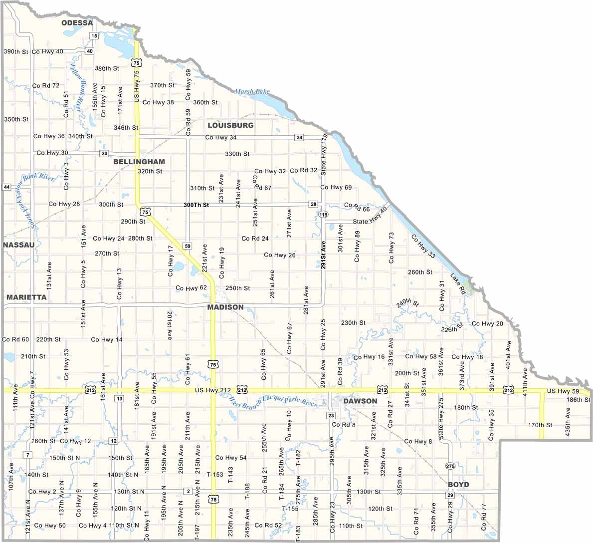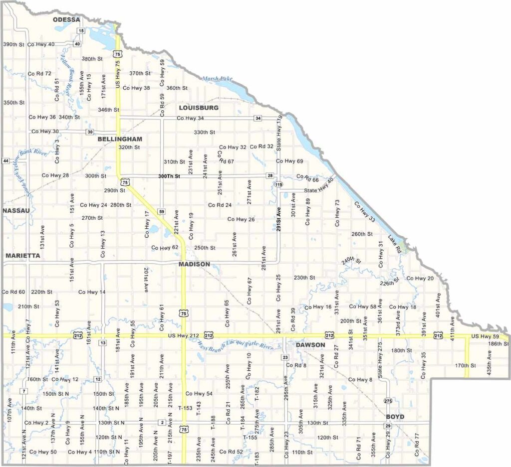
Lac qui Parle County Map, Minnesota

Lac qui Parle County, Minnesota

Lac qui Parle County is out on the western edge of Minnesota. It's about as rural as it gets. Madison is the county seat, but don't expect much more than a main street and a couple of stoplights.

The county is named after the "lake that speaks," a wide spot in the Minnesota River where Native Americans used to gather. Farming is the big industry here. Lac qui Parle State Park is great, especially in fall when the colors pop.

There's a surprising amount of wildlife, though. The county's a major stopover for migrating waterfowl. Hunters come from all over for the pheasant and deer. And if you're into small-town festivals, they've got them too. Yeah, they have some really quirky ones.
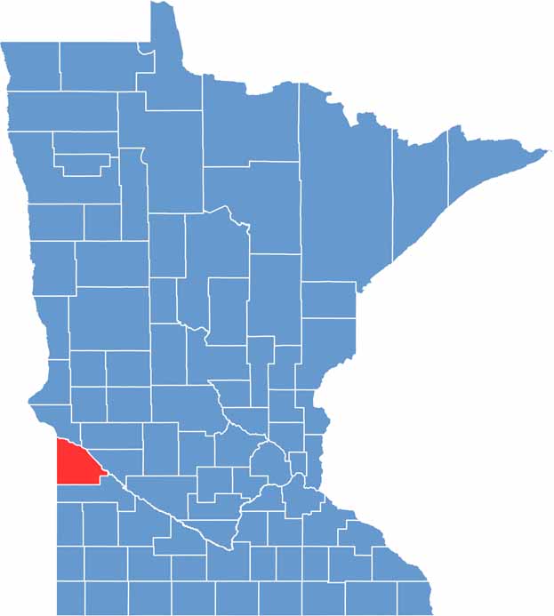

Lac qui Parle County location map of Minnesota
CategoryDetails
County NameLac qui Parle County
County SeatMadison
PopulationApproximately 6,600
Cities, Towns, and CommunitiesMadison, Dawson, Boyd, Bellingham, Marietta, Nassau, Louisburg
Interstates and HighwaysUS 75, MN 7, MN 119, MN 40
FIPS Code27-073
Total Area (Land and Water)778 square miles (Land: 765 sq mi, Water: 13 sq mi)
Adjacent Counties (and Direction)Big Stone County (North), Swift County (Northeast), Chippewa County (East), Yellow Medicine County (South), Deuel County, South Dakota (Southwest), Grant County, South Dakota (Northwest)
Time ZoneCentral Time Zone (CT)
StateMinnesota
Coordinates44.9576° N, 96.1768° W
EtymologyFrench for “Lake which speaks,” named after Lac qui Parle, a lake along the Minnesota River
Major LandmarksLac qui Parle State Park, Salt Lake, Lac qui Parle Mission, Lac qui Parle County Historical Society
Scroll to Top