
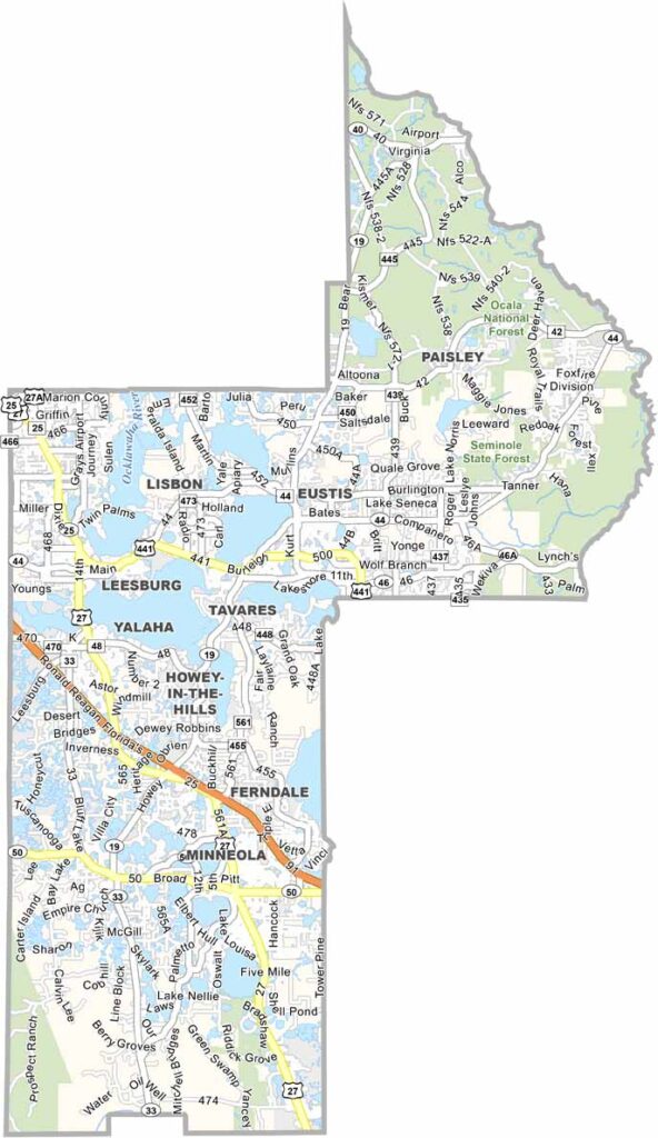
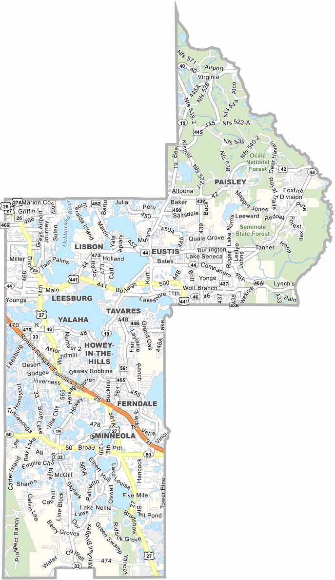
Built around a chain of lakes, Lake County truly lives up to its name. Located in central Florida, just northwest of Orlando, the county is known for its scenic waterways and growing communities. Tavares, the county seat, is famously known as “America’s Seaplane City.”
Clermont’s rolling hills are a unique feature in mostly flat Florida, attracting cyclists and triathletes. The county is also home to orange groves, although fewer remain than in the past. The Harris Chain of Lakes is a popular destination for fishing, boating, and other outdoor activities.
Residents enjoy Lake County’s natural beauty and convenient location near Orlando’s major attractions. Mount Dora attracts visitors with its charming downtown, antique shops, and historic character. Overall, Lake County offers a diverse mix of small towns, scenic landscapes, and rapidly growing suburban communities.
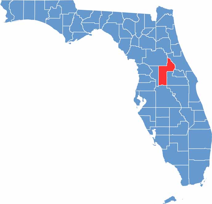
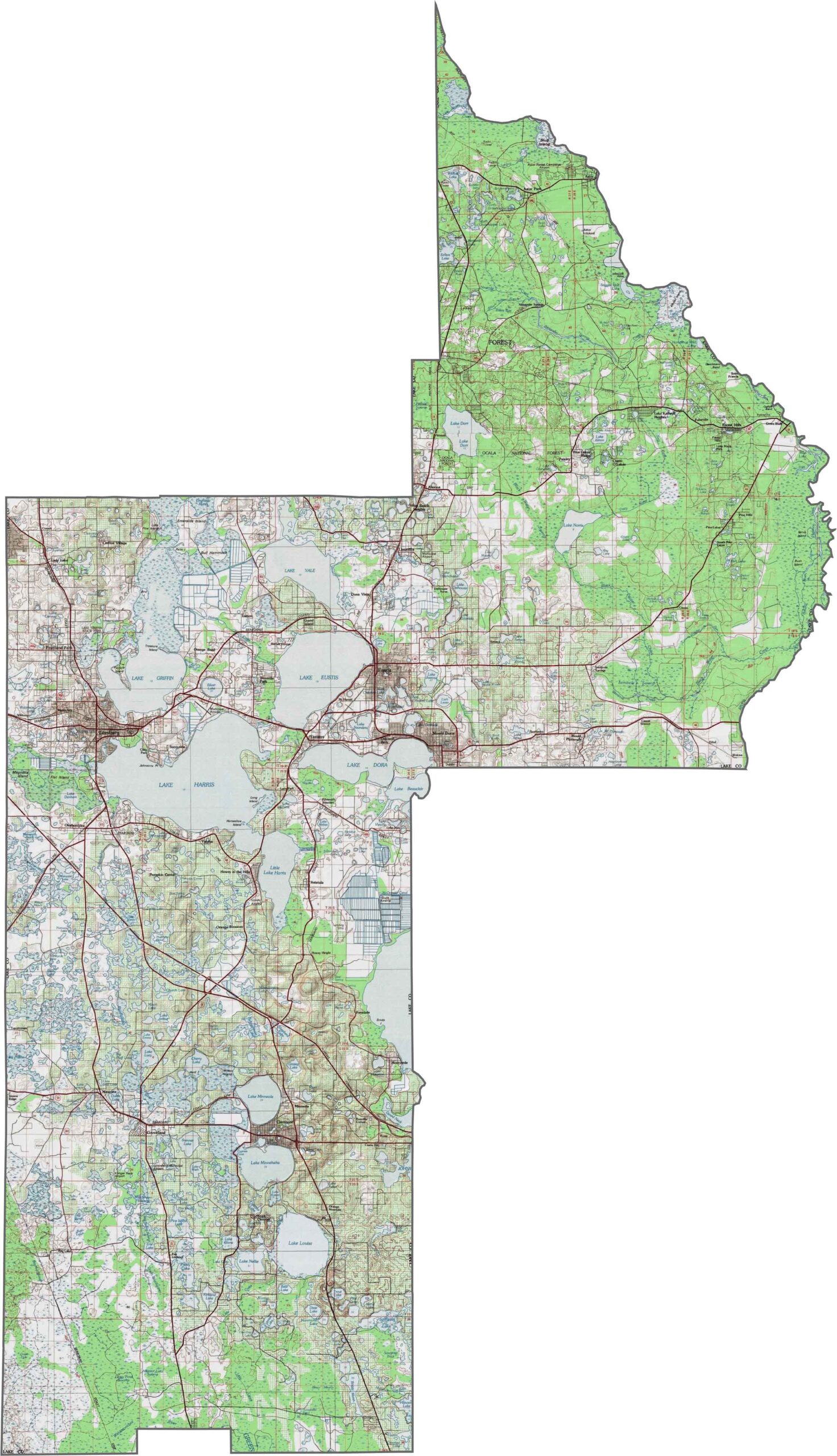
Lake County has some of central Florida’s highest terrain, with portions of the Lake Wales Ridge reaching elevations of more than 300 feet. The Clermont Ridge in the southern part of the county includes some of the highest points in peninsular Florida. With more than 1,000 lakes, water plays a major role in shaping the landscape. Explore these features in greater detail with our new zoom tool.
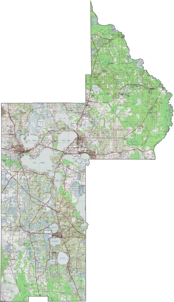
Lake County stands out for its rolling hills and numerous lakes, which create a landscape filled with water-rich basins and elevated ridges. The Lake Wales Ridge passes through the county, contributing to some of Florida’s highest elevations. Use our zoom tool to explore the county’s unique topography up close.
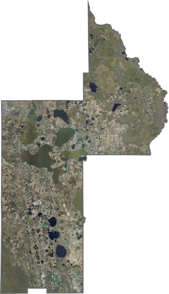
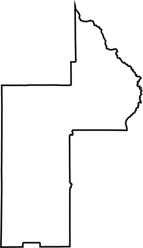
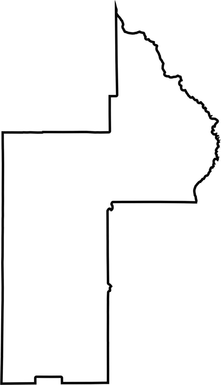
This Lake County outline map highlights its irregular and distinctive shape. Its boundaries follow a combination of natural features and county lines, creating an uneven outline. Download the blank map of Lake County for educational, personal, or other purposes.






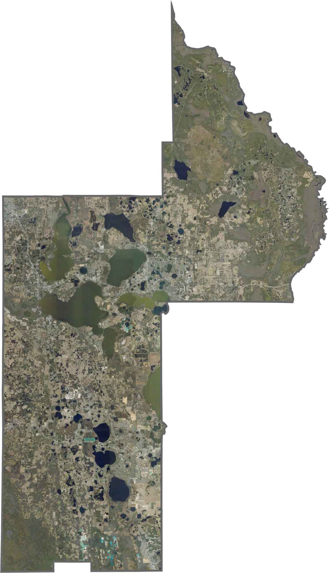

Looking for a county map of Florida? Our Florida County Map breaks down all 67 counties across the Sunshine State. Explore Florida through detailed topographic, satellite, and outline maps to better understand its geography, landscapes, and county boundaries.