
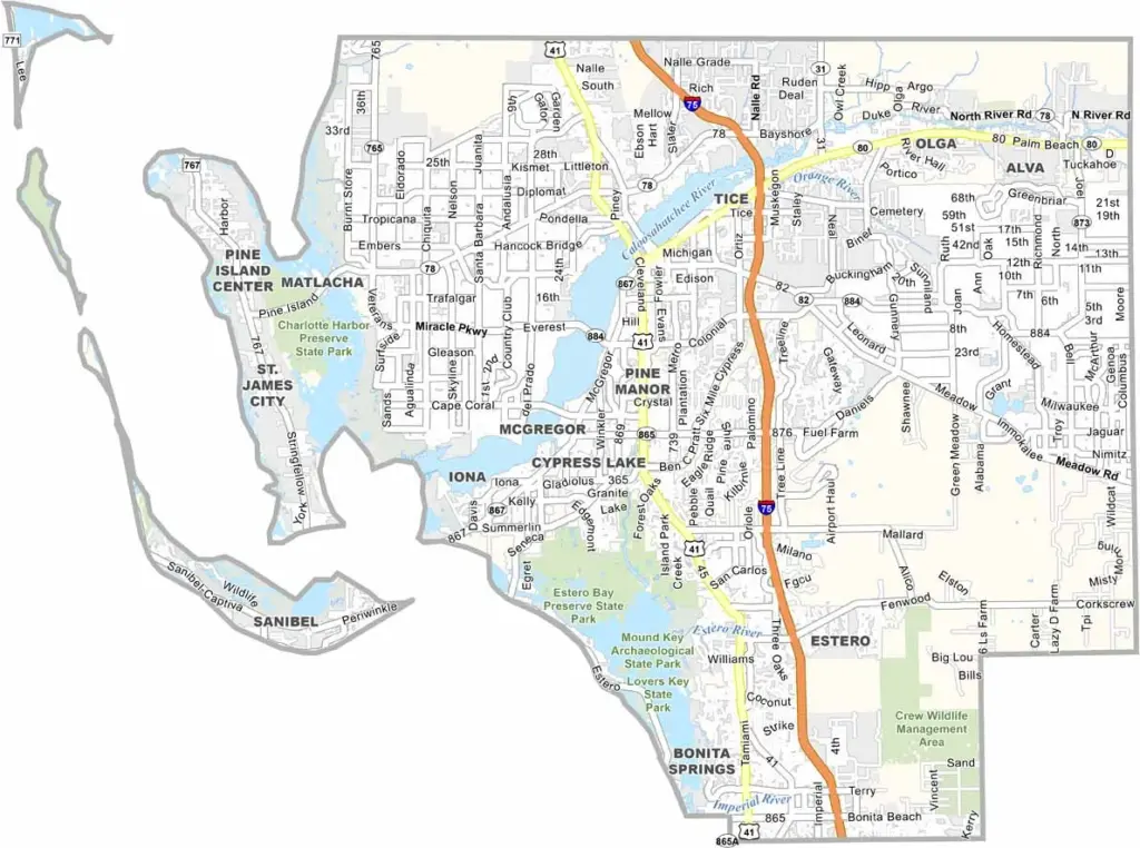
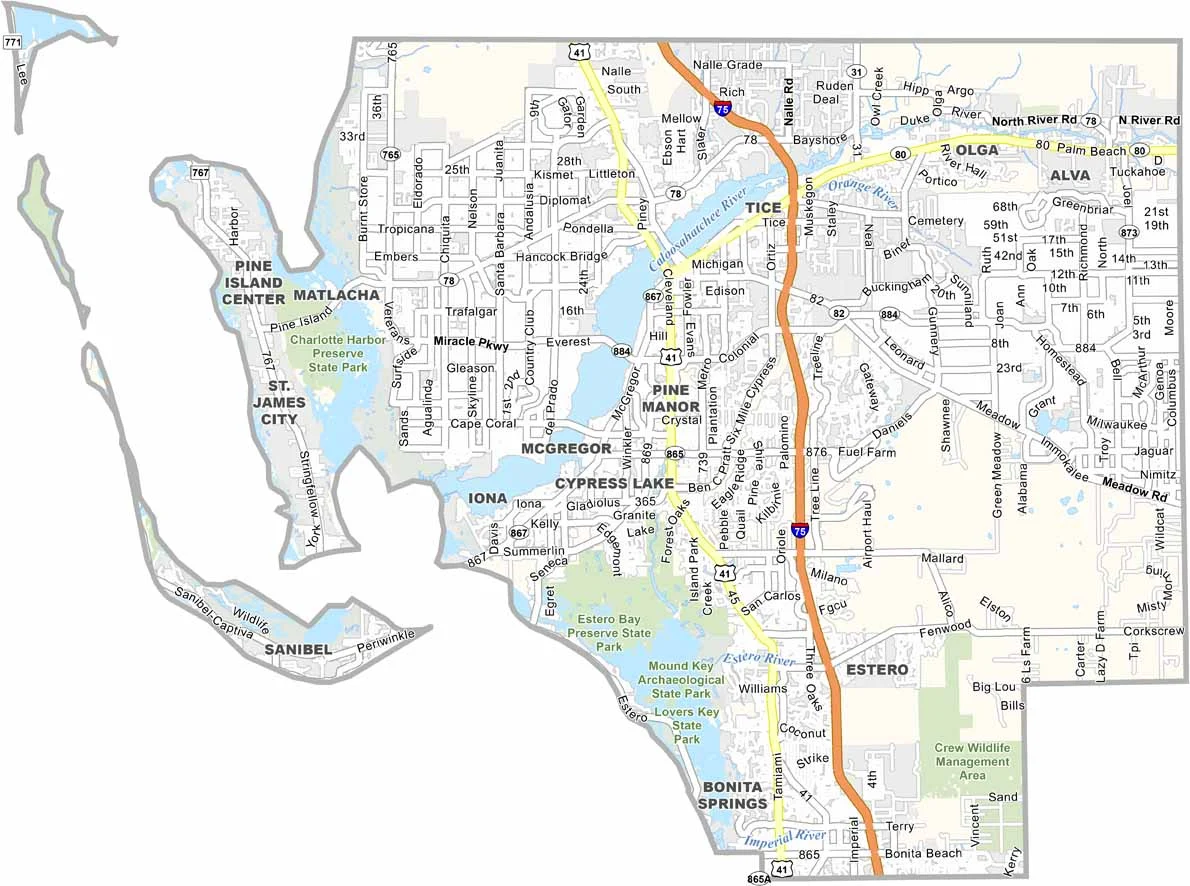
Lee County has a little bit of everything. Located along Florida’s Gulf Coast, it is anchored by Fort Myers and offers a mix of beaches, islands, rivers, and growing communities. Sanibel and Captiva Islands are especially famous for their beautiful beaches and world-class shell collecting.
The county features diverse natural landscapes, including mangroves, beaches, and the Caloosahatchee River. Baseball is also a major attraction, with the Boston Red Sox and Minnesota Twins holding spring training in the area. Fort Myers Beach is a popular destination, particularly during spring break, while the county is home to a mix of retirees, families, and seasonal residents.
The Edison and Ford Winter Estates are among Lee County’s most popular historic attractions. Traffic can become challenging during the busy snowbird season, but the county continues to grow while preserving pockets of old Florida charm. In Lee County, you can spend the morning fishing and enjoy a baseball game later in the afternoon.
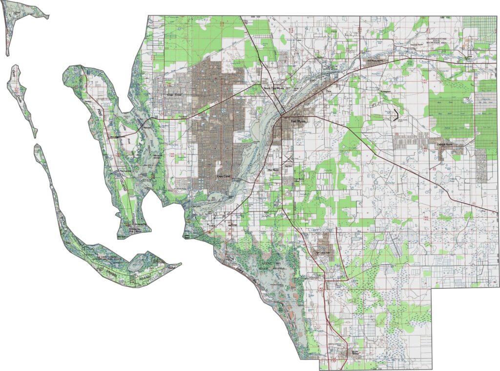
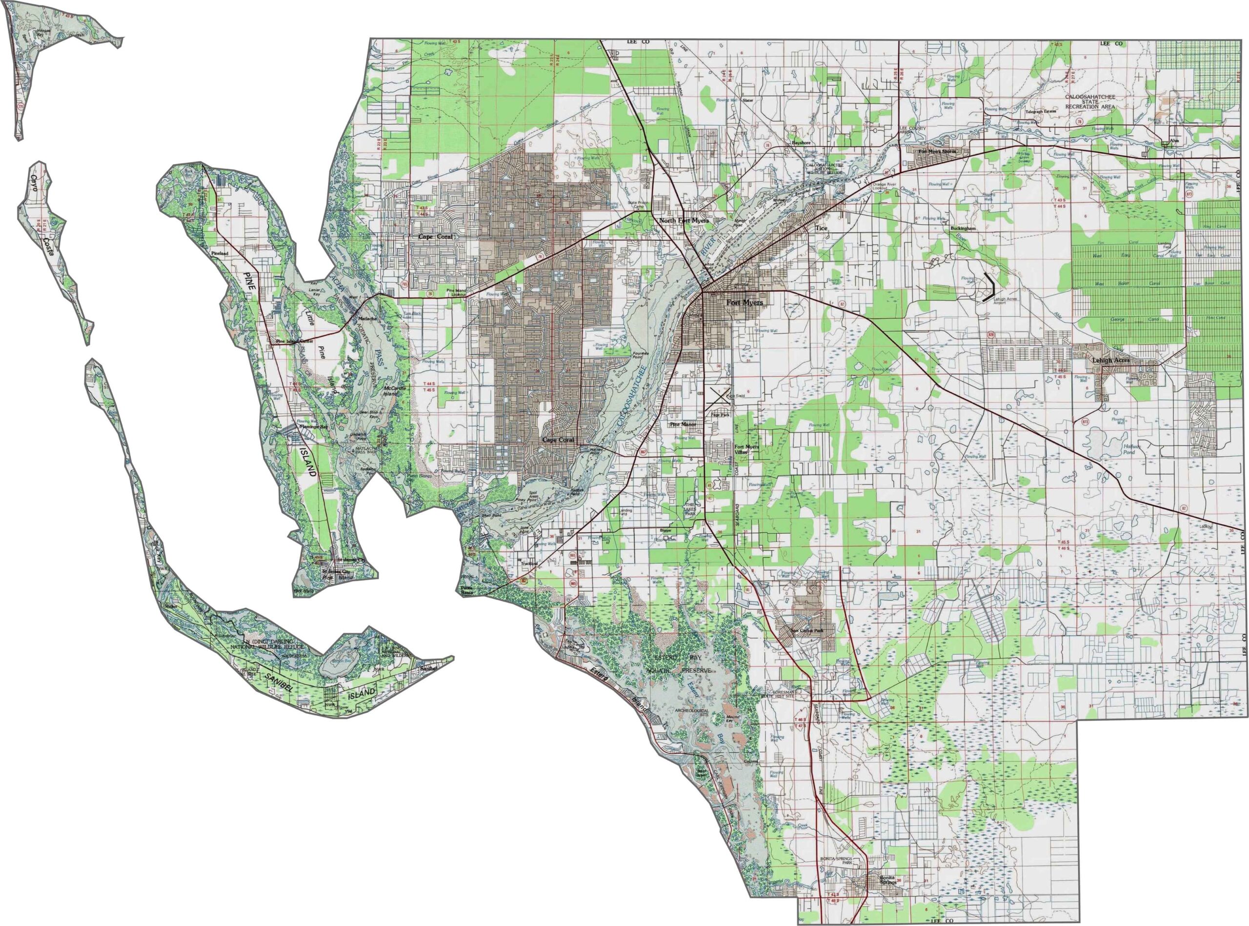
Lee County features a distinctive coastal landscape dominated by barrier islands and extensive mangrove systems along its western edge. The interior areas have slightly higher elevations, while our zoom tool reveals how the eastern portions gradually transition into broad wetland plains.
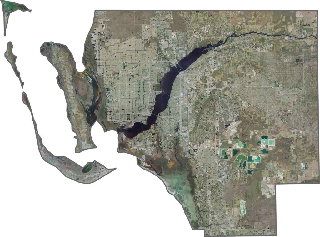
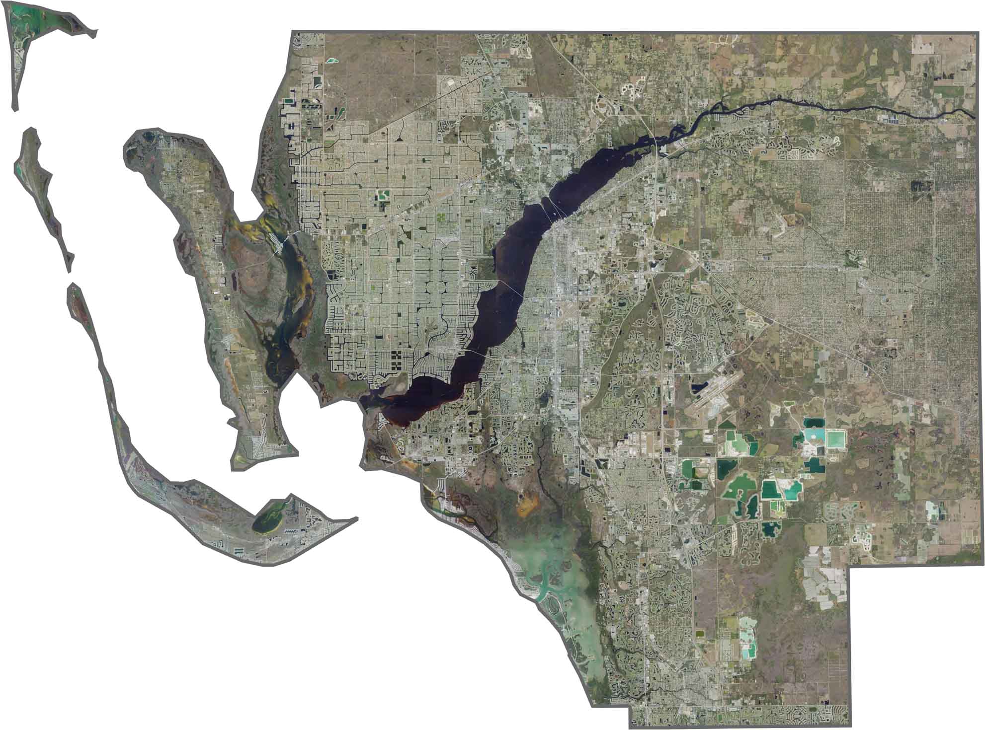
Our Lee County satellite map highlights a mix of urban centers, barrier islands, and expansive wetlands. Fort Myers and Cape Coral dominate the mainland, while Sanibel and Captiva Islands add scenic coastal features. The Caloosahatchee River runs through the county, creating an important natural corridor.
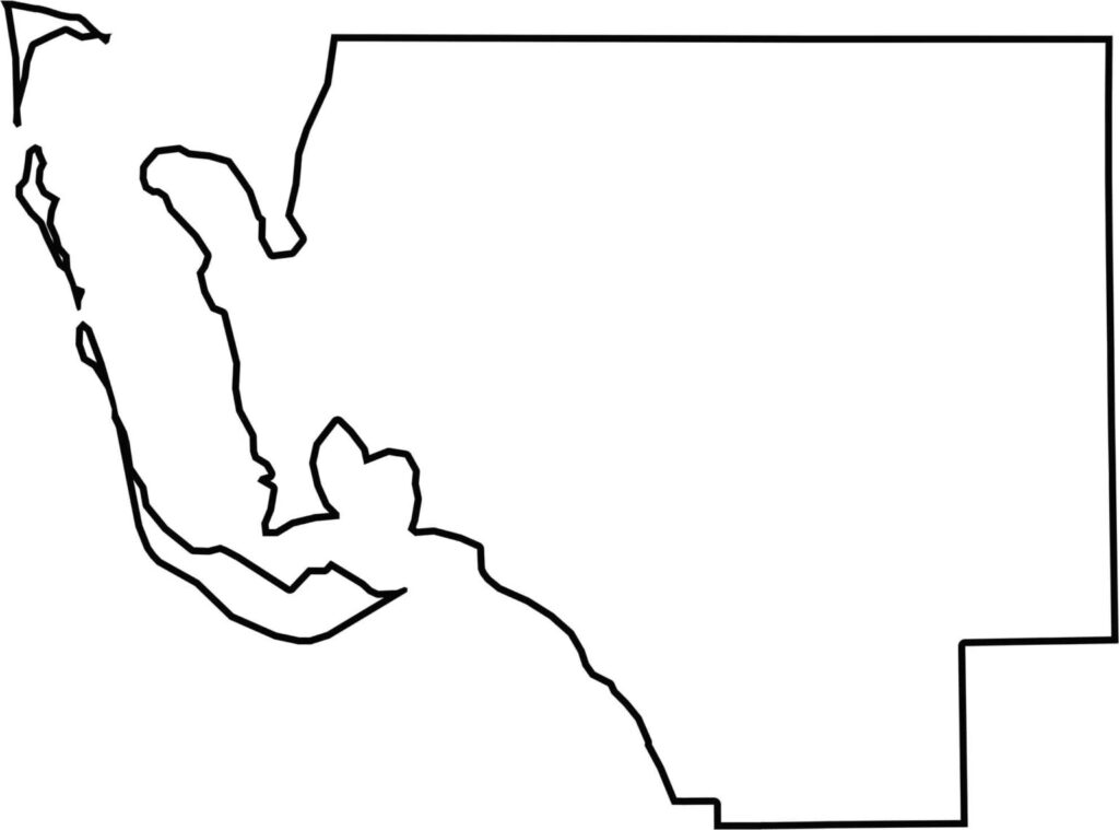
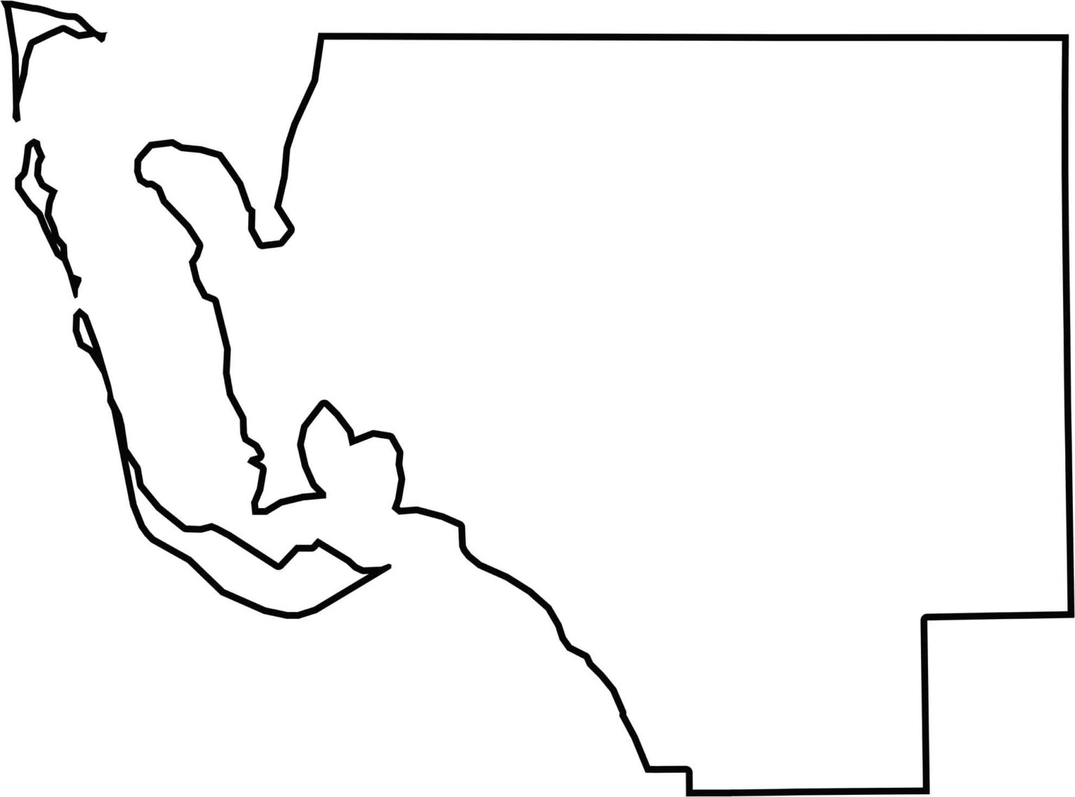
Our Lee County blank map shows boundaries shaped largely by waterways and coastal formations. The Gulf of Mexico and Charlotte Harbor define much of the county’s western edge, giving Lee County its distinctive coastal geography.







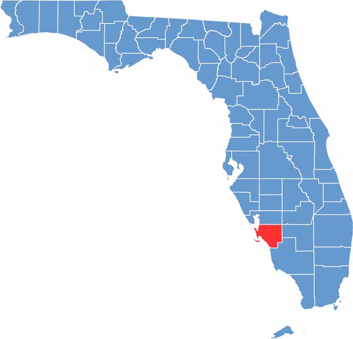
Looking for a county map of Florida? Our Florida County Map breaks down all 67 counties across the Sunshine State. Explore Florida through detailed topographic, satellite, and outline maps to better understand its geography, landscapes, and county boundaries.