
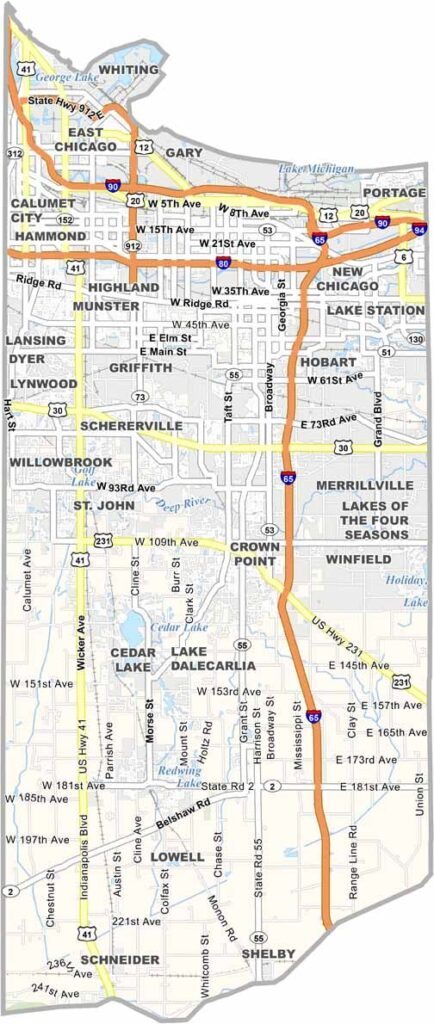
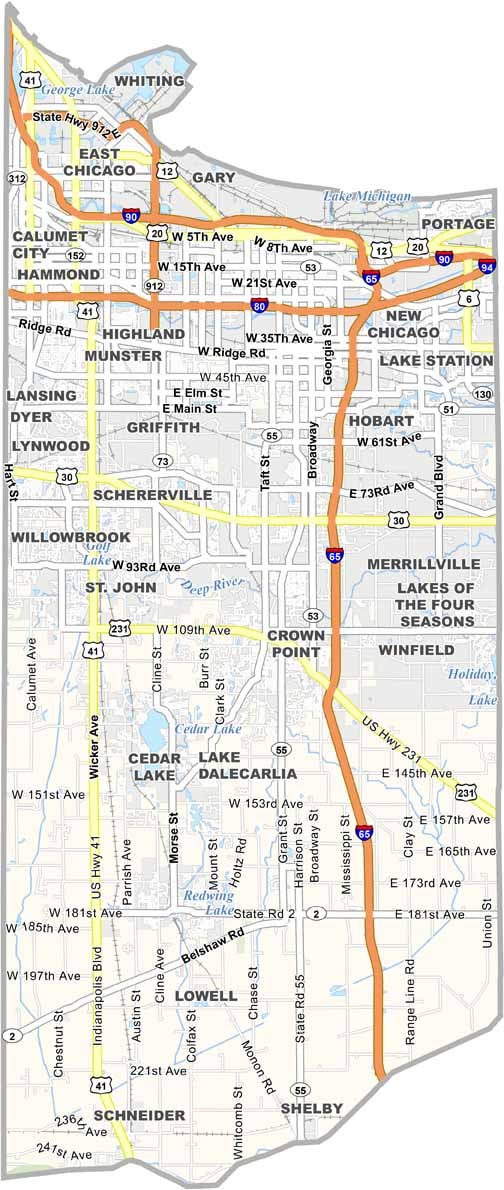
Lake County is Indiana’s version of Chicagoland, sitting right along Lake Michigan. Gary was once a booming steel town, but today it’s better known as the hometown of Michael Jackson. You can still visit the Jackson family home.
Hammond and East Chicago give the county its industrial muscle, while communities like Munster and St. John offer swanky suburbs and upscale marinas.
You’ll find surprising pockets of nature here. Indiana Dunes National Park, located to the east, features sandy beaches and rare ecosystems. Meanwhile, Horseshoe Hammond attracts visitors looking to try their luck.
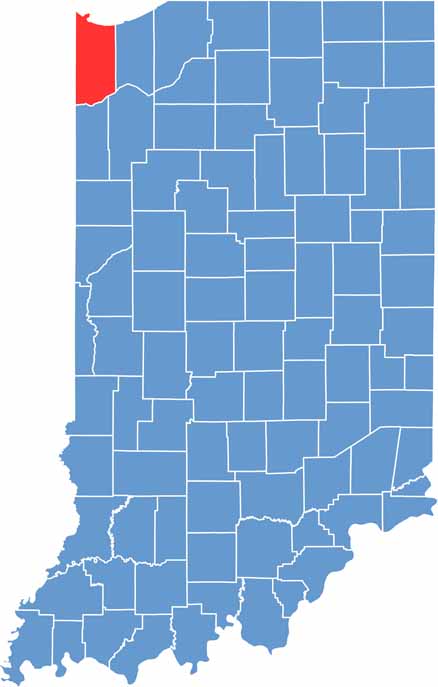
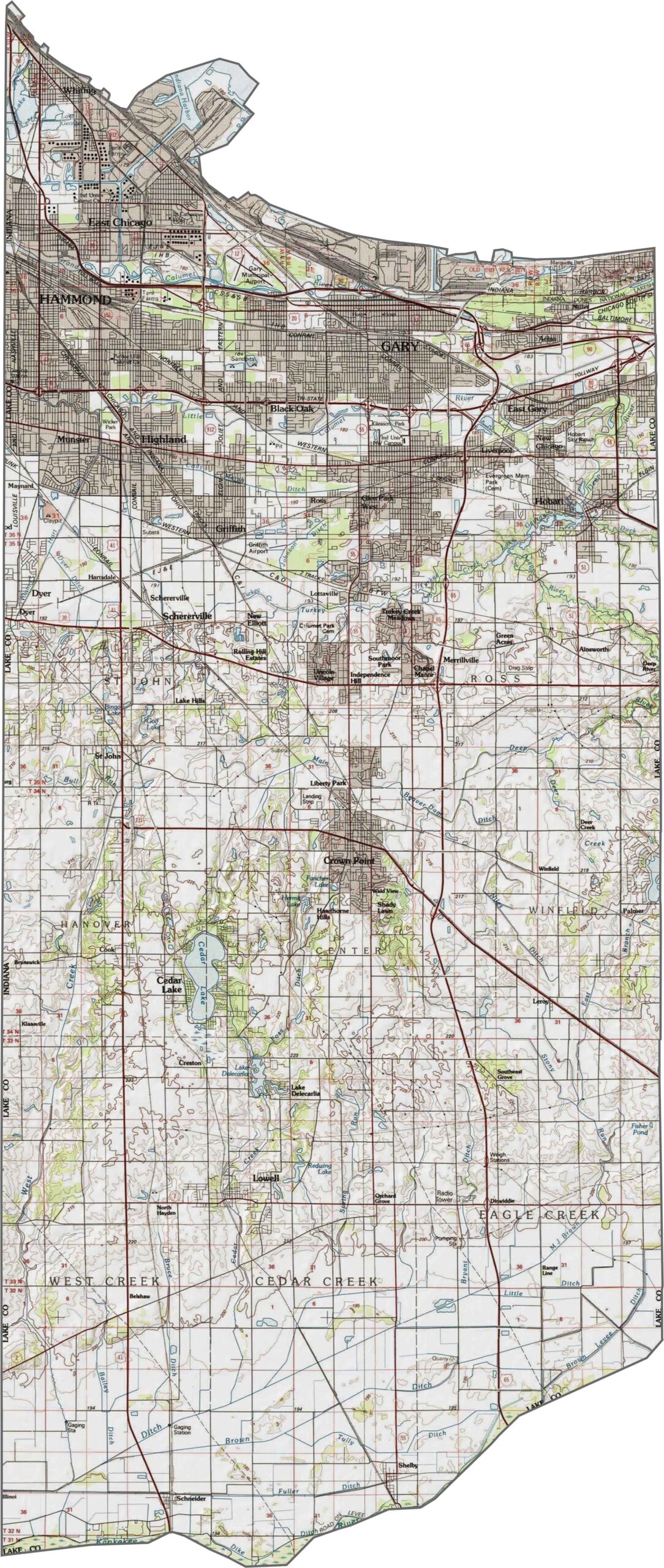
The land in Lake County is flat near the cities, but sandy dunes rise along Lake Michigan. Marshes and wetlands appear near the lakeshore, while the rest of the county remains mostly level. Examine all these varied features closely with our zoom tool.
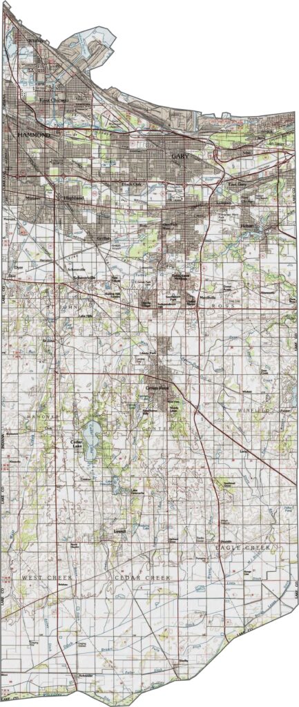
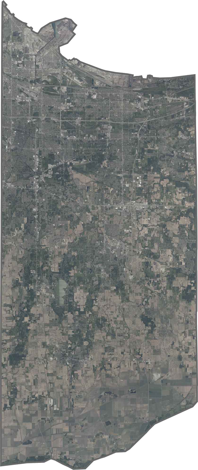
In Lake County, Indiana, factories and neighborhoods sit close to the lake, especially around Gary. Farther south, you’ll find more farmland and patches of forest, while the Deep River winds through the wetlands.
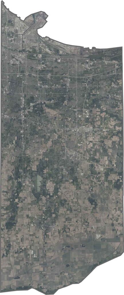
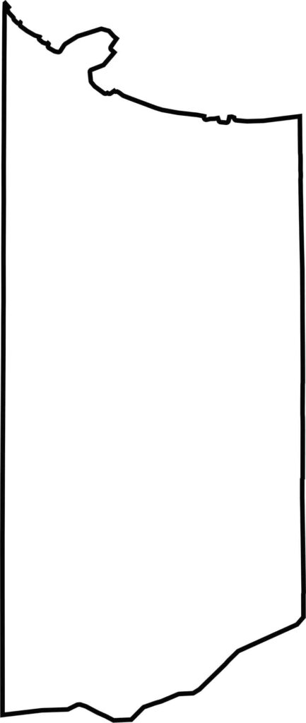
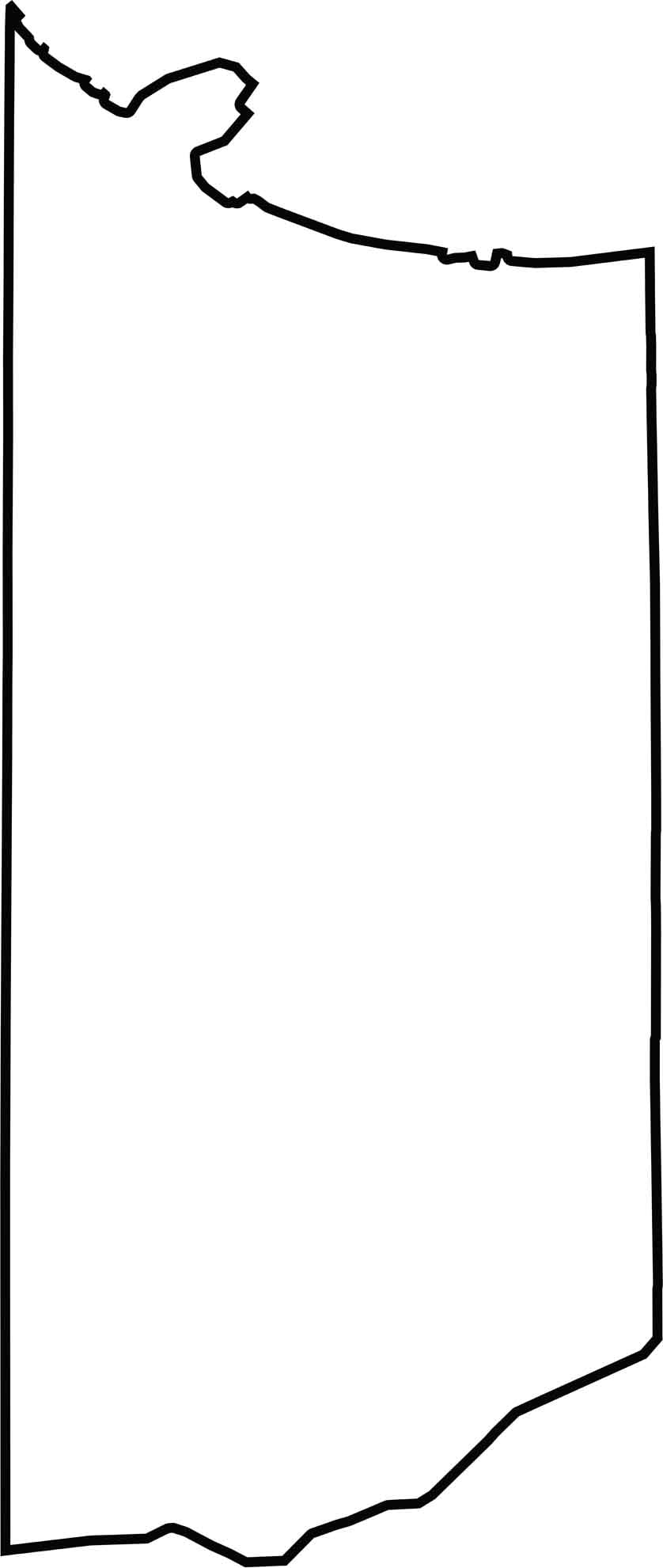
The county’s shape is uneven, curving where it meets Lake Michigan. It extends roughly twice as far north-to-south as it does across its narrower sections. Lake County shares a border with Illinois to the west, while the Kankakee River forms part of its southern boundary.






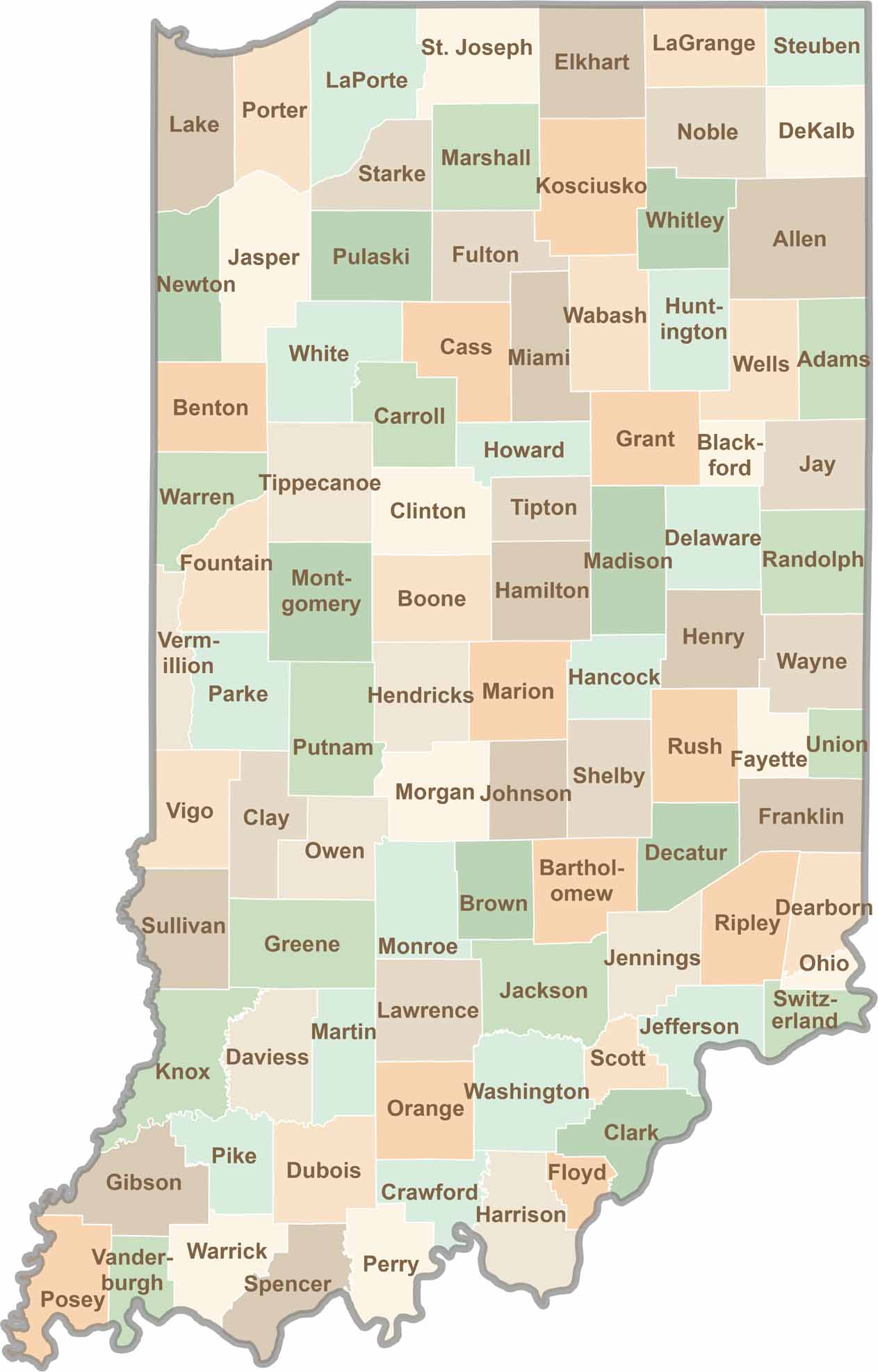
Explore the Hoosier State, home to 92 counties filled with scenic backroads, impressive skyline views, and charming small towns. Think of this as your glovebox passport to Indiana, guiding you to classic diner pies, covered bridges, and stunning Lake Michigan sunsets.