
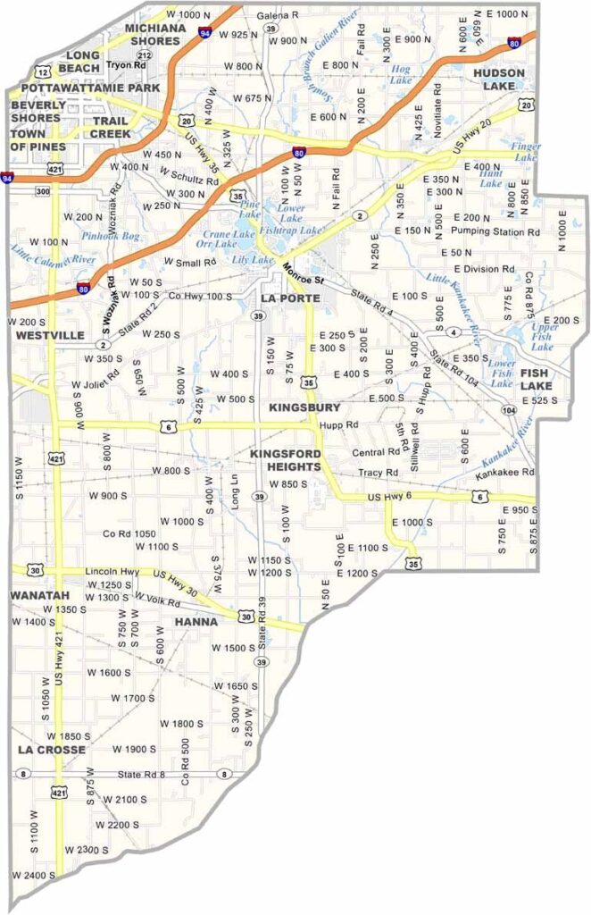
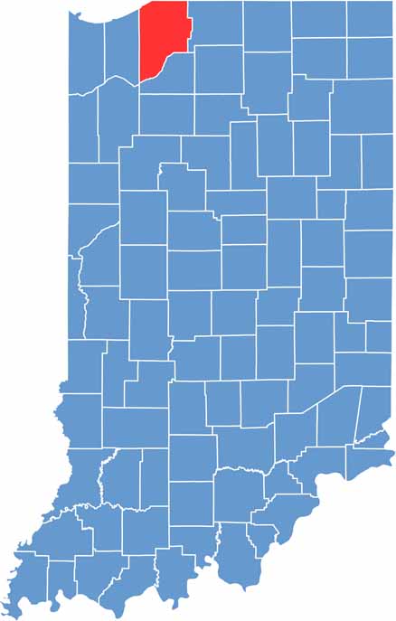
LaPorte County straddles the line between Indiana farmland and the Chicago metropolitan area. You’ll find a mix of industry, agriculture, and tourism throughout the county.
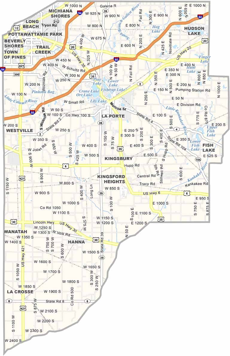
Michigan City sits along Lake Michigan, giving the county a beach-town vibe with its marina, beaches, and outlet mall. Meanwhile, LaPorte, the county seat, offers a more laid-back atmosphere surrounded by beautiful lakes.
Indiana Dunes National Park extends into the area, offering excellent opportunities for hiking and birdwatching. Folks here are proud of their beaches, farms, and local community, making LaPorte County a distinctive part of northwest Indiana.
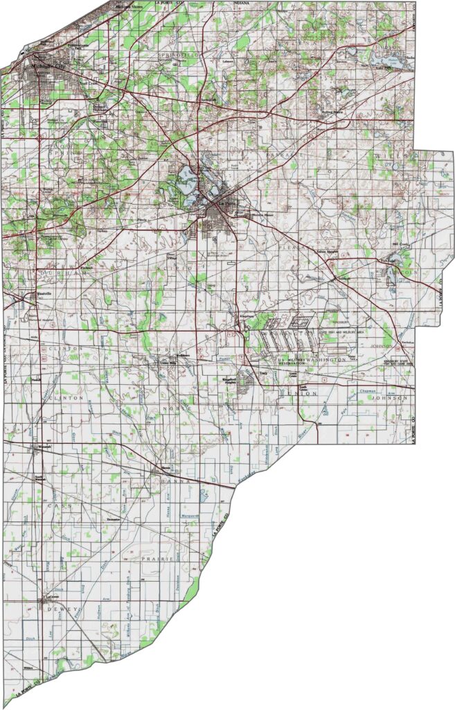
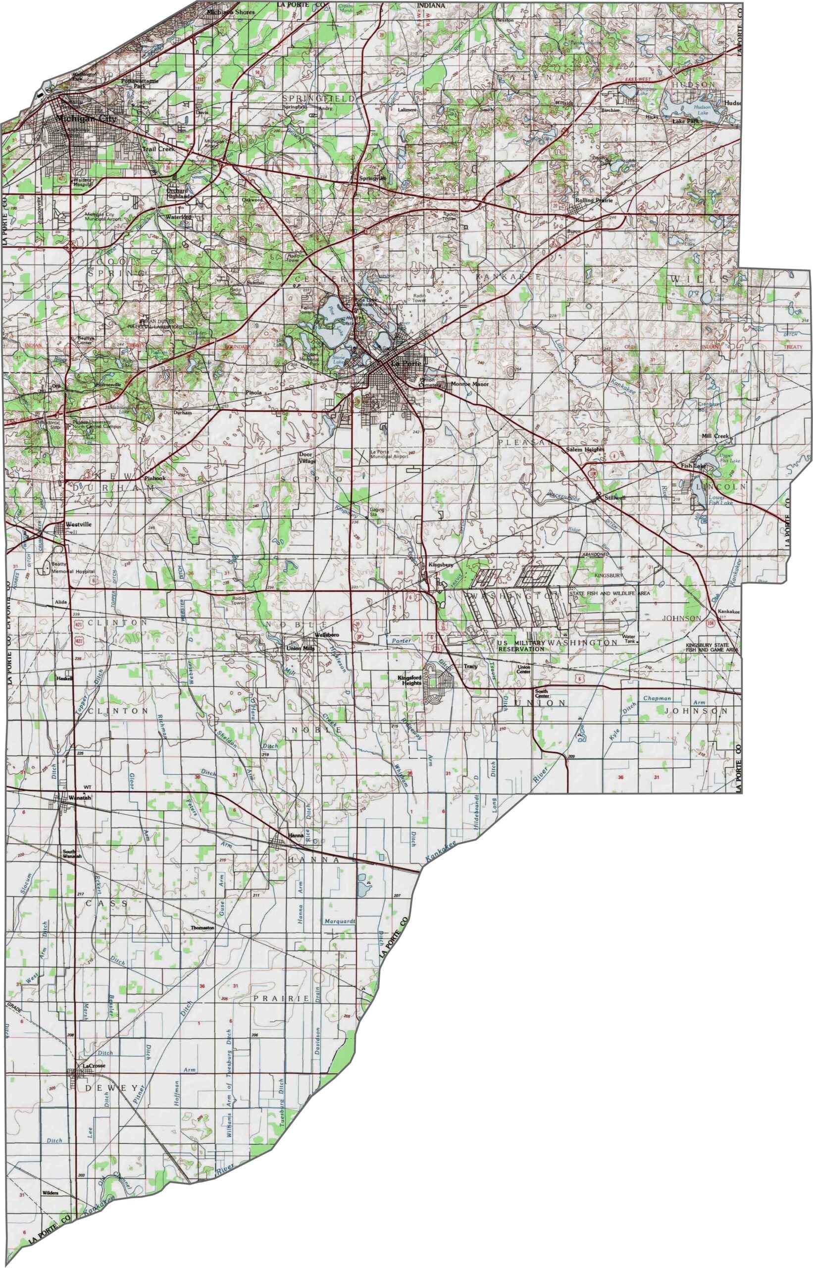
LaPorte County is mostly flat, but rolling sand dunes rise near Lake Michigan. The Kankakee River creates wetlands in the southwest corner, while elevation changes become more noticeable near the lakeshore. Our zoom tool helps visualize these varied terrain features.
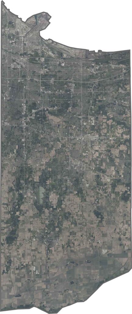
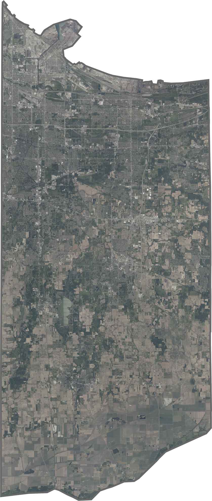
Michigan City appears along the lakeshore, with its harbor standing out as a dark notch. There are distinct contrasts between industrial areas, the blue waters of Lake Michigan, and golden dunes. Farther inland, farmland dominates, with straight-line field divisions.
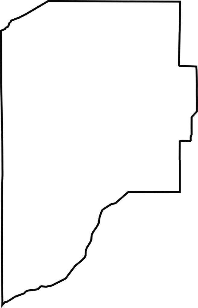
LaPorte County has an irregular shape that narrows toward the south. Lake Michigan forms the entire northwestern border, while the Kankakee River marks much of its southern boundary.







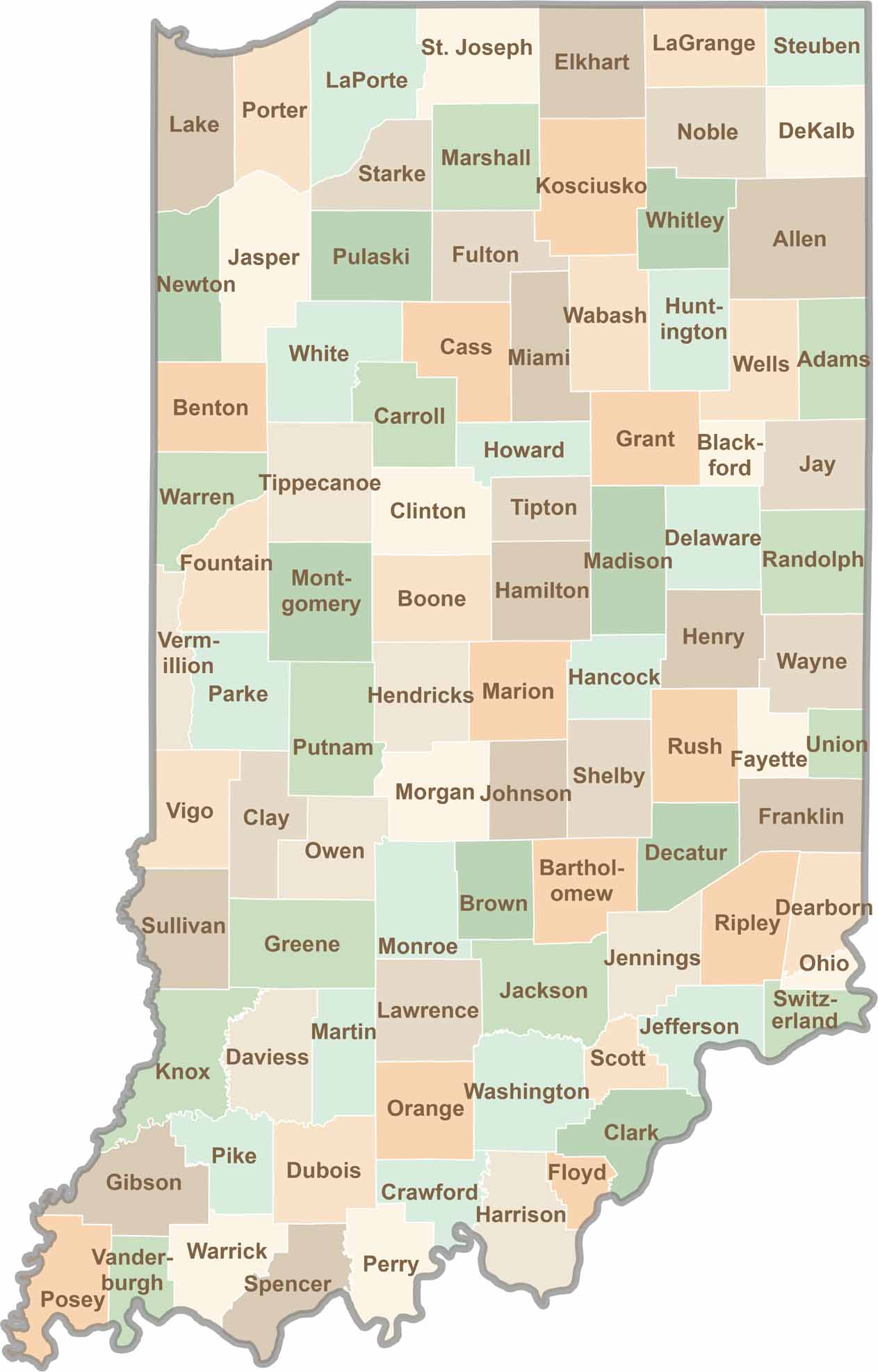
Explore the Hoosier State, home to 92 counties filled with scenic backroads, impressive skyline views, and charming small towns. Think of this as your glovebox passport to Indiana, guiding you to classic diner pies, covered bridges, and stunning Lake Michigan sunsets.