
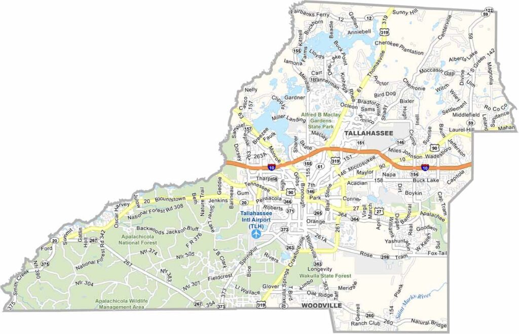
Leon County is home to Tallahassee, Florida’s state capital, and Florida State University, giving the area a unique blend of Southern charm and college-town energy. The county is also known for its rolling hills, a landscape feature that is relatively uncommon in Florida.
The Florida Capitol dominates the downtown skyline, while locals enjoy outdoor spaces such as Cascades Park and nearby Wakulla Springs, where kayaking is popular. Leon County also has a thriving food scene, ranging from casual food trucks to upscale restaurants.
The county’s history runs deep, with important landmarks such as Mission San Luis showcasing its cultural heritage. Traffic is generally manageable, except during Florida State Seminoles game days when the city becomes much busier. With more trees than beaches and more politicians than tourists, Leon County feels like Florida with a touch of Georgia.
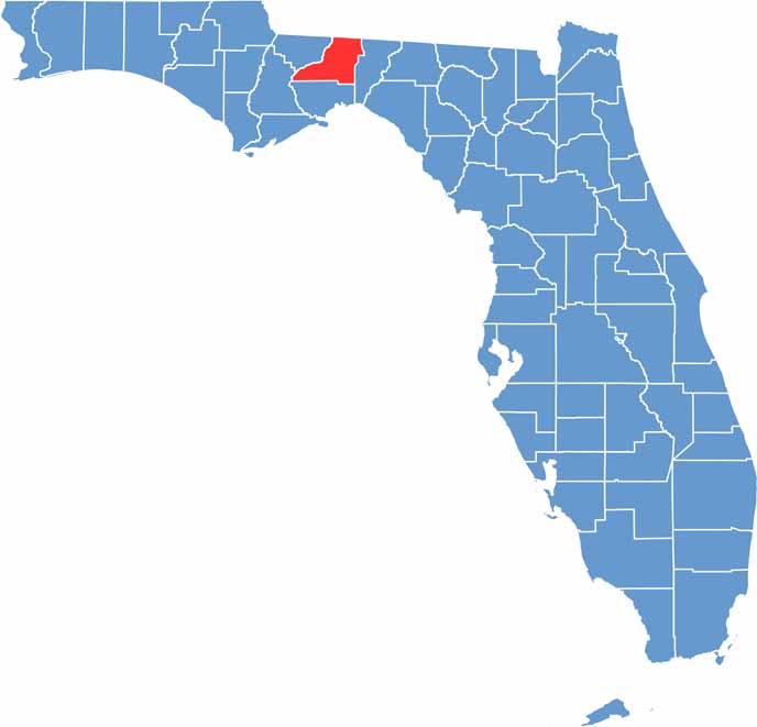
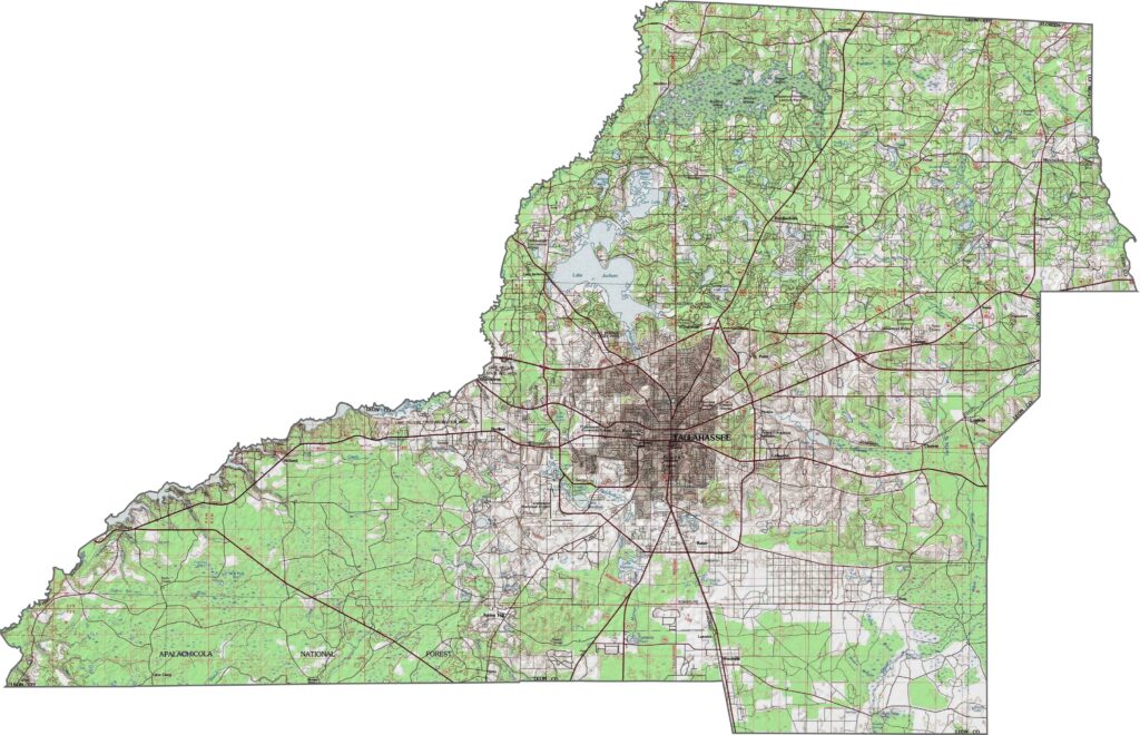
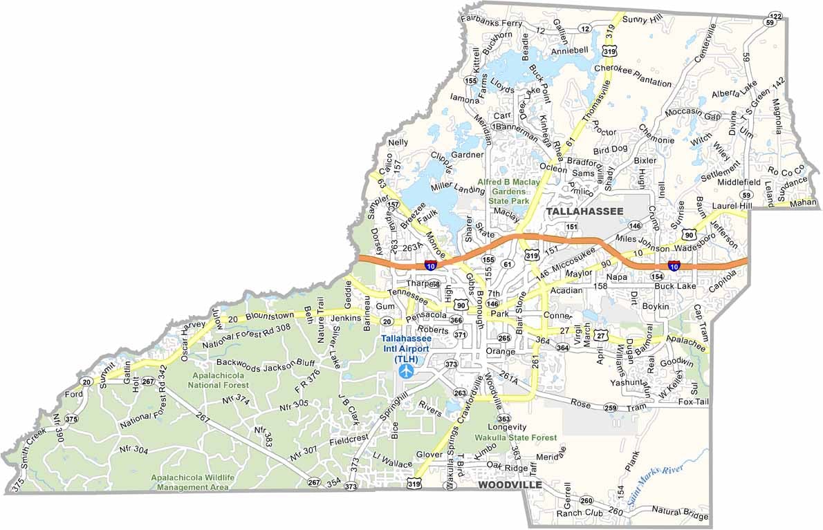
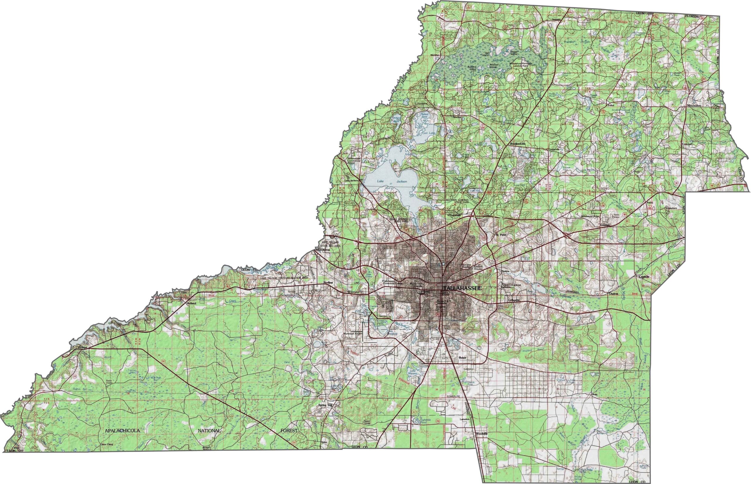
Leon County is defined by the distinctive Red Hills region, one of North Florida’s most diverse landscapes. Rolling terrain, lakes, and karst features shape the northern and central areas, while the southern portions gradually slope toward the Gulf lowlands. Use our zoom tool to explore these geographic features in greater detail.
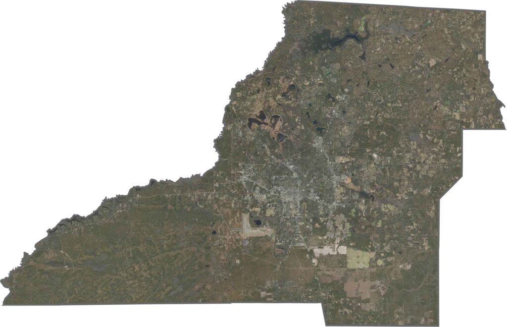
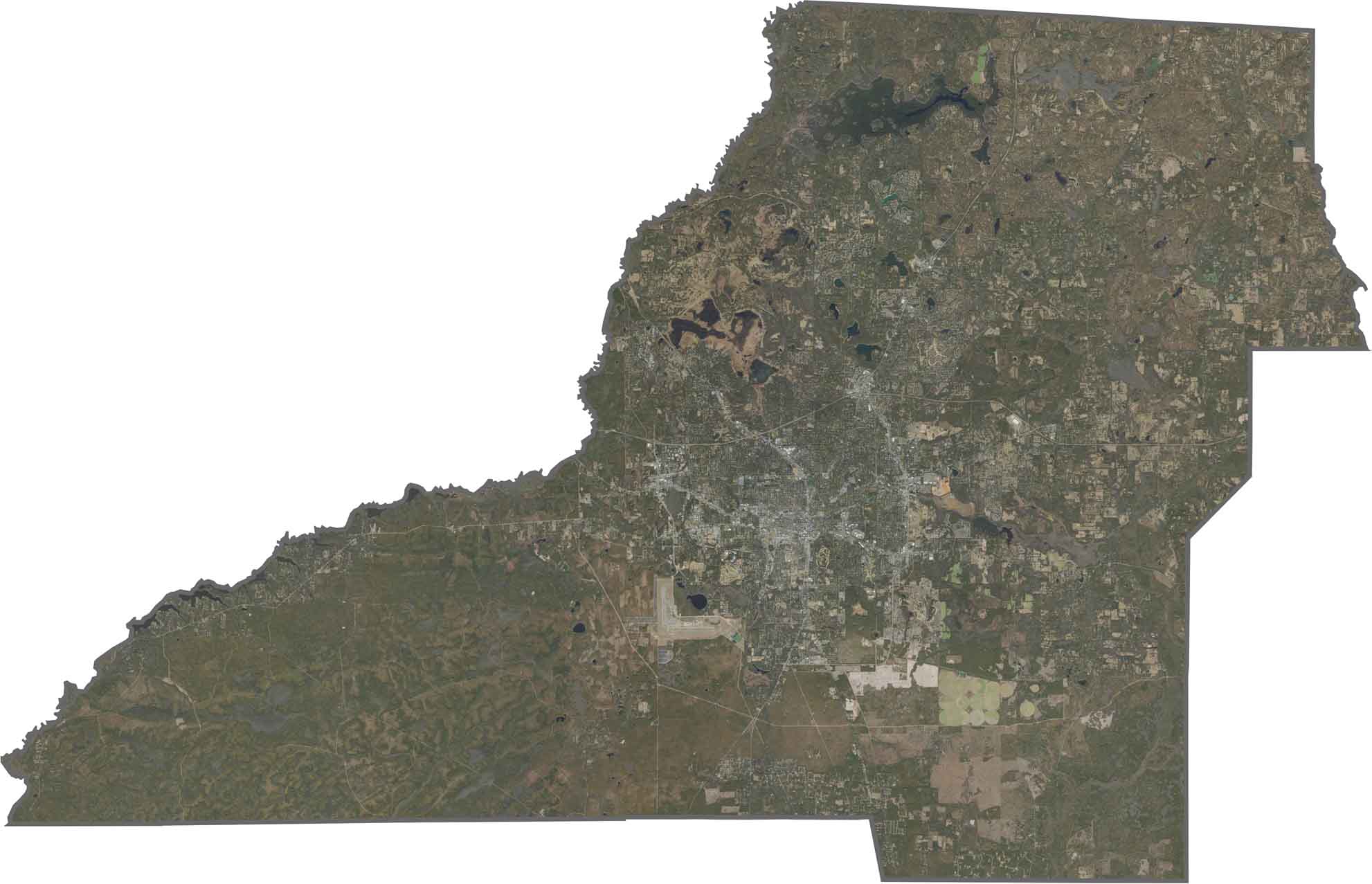
This Leon County satellite map highlights the county’s rolling hills and lakes alongside a mix of urban and natural landscapes. Tallahassee, Florida’s capital, sits at the center of the county, surrounded by forests, rivers, and changing elevations that make the region quite different from Florida’s typically flat terrain.
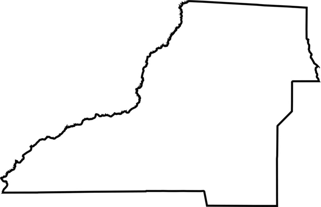
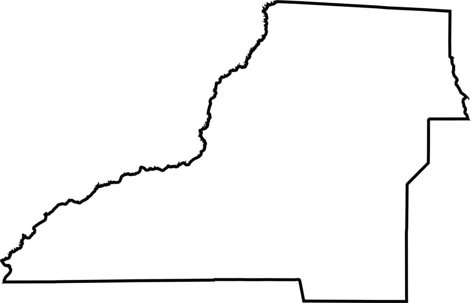
Our Leon County outline map reveals a distinctive, somewhat triangular shape that resembles a boot. The Florida-Georgia state line creates a straight northern boundary, while rivers and county divisions help define the remaining edges.







Looking for a county map of Florida? Our Florida County Map breaks down all 67 counties across the Sunshine State. Explore Florida through detailed topographic, satellite, and outline maps to better understand its geography, landscapes, and county boundaries.