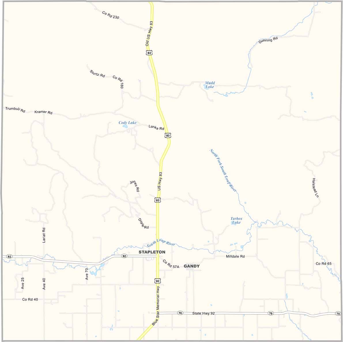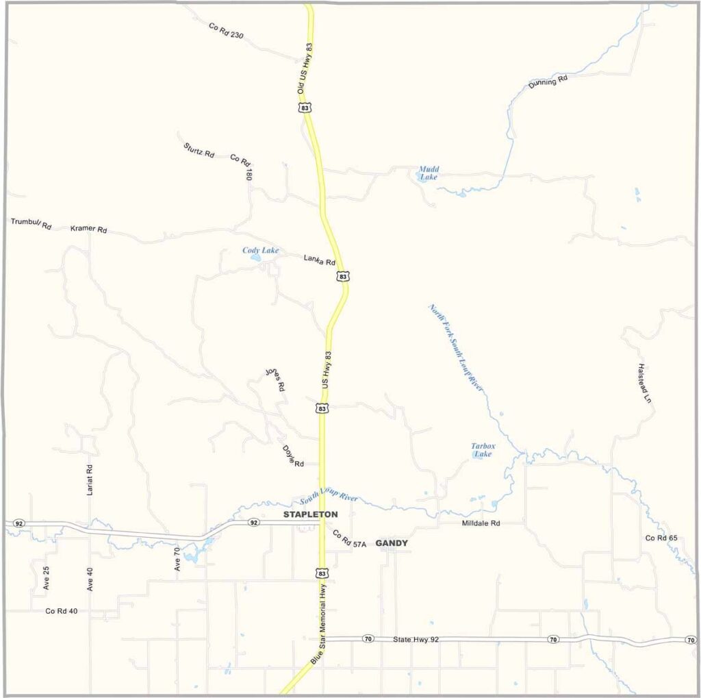
Logan County Map, Nebraska

Logan County, Nebraska

Logan County is located in central Nebraska. Stapleton is the only real town, with a population of fewer than 300 people. Yep, it’s pretty quiet out here—the kind of quiet that city folks might find a little unsettling.

Ranching is the main way of life. The Middle Loup River flows through the county, adding some nice scenery. Gandy is the only other notable community in the area.

The landscape features rolling hills and open grasslands. It’s beautiful in its own way. U.S. Highway 83 provides the main route into and out of the county. People here are friendly, but they tend to keep to themselves and are used to making their own entertainment.
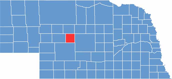

Logan County location map of Nebraska
CategoryDetails
County NameLogan County
County SeatStapleton
EtymologyNamed after John A. Logan, a U.S. Army general and politician
Cities, Towns, and CommunitiesStapleton, Gandy
Interstates and HighwaysNE 92, NE 47
FIPS Code31-113
Total Area (Land and Water)571 square miles (Land: 571 sq mi, Water: 0.2 sq mi)
Adjacent Counties (and Direction)Thomas County (North), Blaine County (Northeast), Custer County (East), Lincoln County (South), McPherson County (West)
Time ZoneCentral Time Zone (CT)
StateNebraska
Coordinates41.5612° N, 100.5057° W
Major LandmarksNebraska National Forest (nearby), Logan County Historical Society Museum
PopulationApproximately 750
Scroll to Top