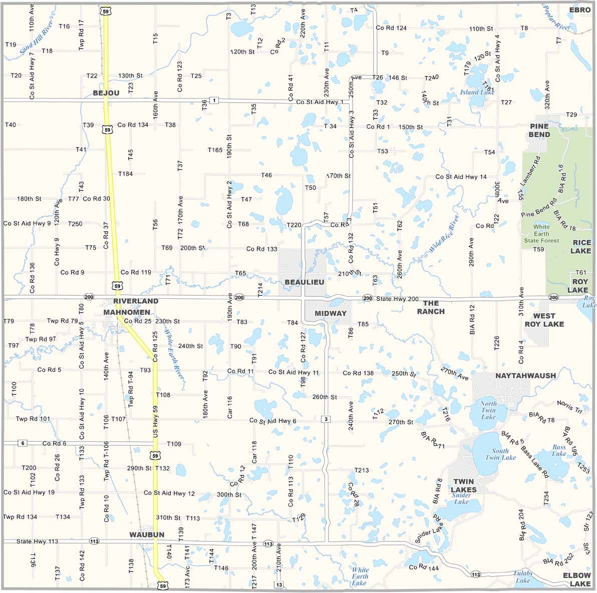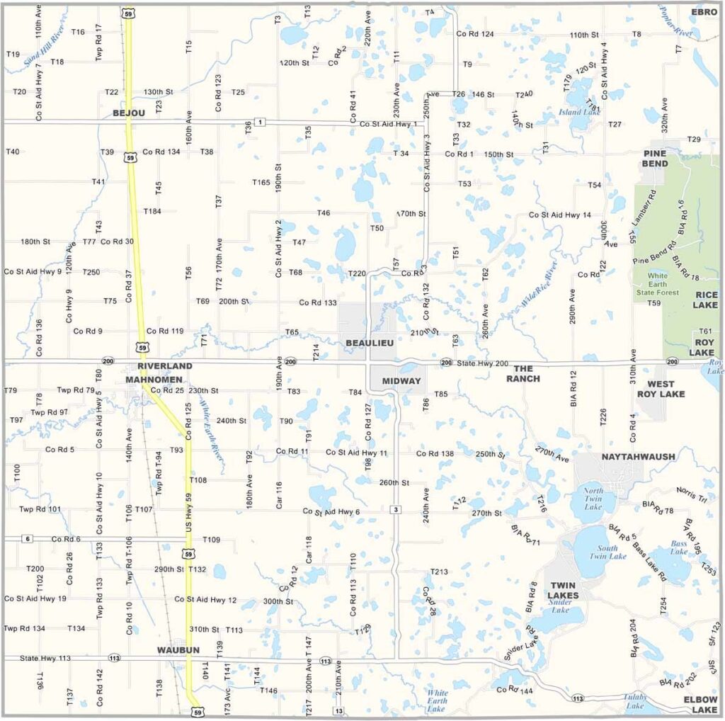
Mahnomen County Map, Minnesota

Mahnomen County, Minnesota

Mahnomen County sits in northwestern Minnesota. It's the only county in the state located entirely within a Native American reservation, the White Earth Reservation. The town of Mahnomen is the county seat, small but lively.

Wild rice is a big deal here, and the lakes and rivers are full of it. Fishing is popular too, especially on the Wild Rice River. The Shooting Star Casino is the biggest employer, drawing visitors from all over.

The county has a cool mix of prairie and forest, which makes it perfect for hunting. Fall is especially beautiful, with the trees putting on a real show. And if you're into pow wows, the annual White Earth Pow Wow is something else. It's a celebration of Ojibwe culture that will knock your socks off.
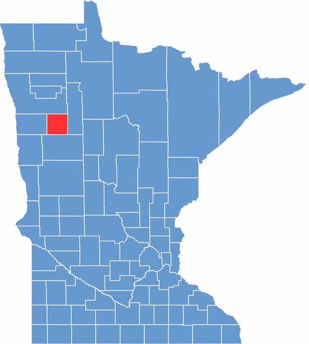

Mahnomen County location map of Minnesota
CategoryDetails
County NameMahnomen County
County SeatMahnomen
PopulationApproximately 5,500
Cities, Towns, and CommunitiesMahnomen, Bejou, Waubun, Naytahwaush, Roy Lake
Interstates and HighwaysUS 59, MN 200
FIPS Code27-087
Total Area (Land and Water)583 square miles (Land: 558 sq mi, Water: 25 sq mi)
Adjacent Counties (and Direction)Polk County (North), Clearwater County (East), Becker County (South), Norman County (West)
Time ZoneCentral Time Zone (CT)
StateMinnesota
Coordinates47.3141° N, 95.8104° W
EtymologyNamed after the Ojibwe word “mahnomen,” meaning “wild rice”
Major LandmarksWhite Earth Indian Reservation, Pinehurst Resort, Shooting Star Casino
Scroll to Top