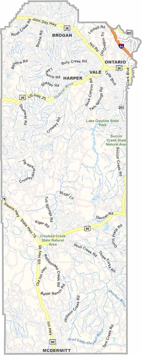
Malheur County Map, Oregon

Malheur County, Oregon

Malheur County sprawls across the southeastern corner of Oregon, bordering Nevada and Idaho. It is a land of wide-open spaces and big skies, and as Oregon's second-largest county, it has no traffic jams to speak of.

The high desert landscape is full of sagebrush and rugged canyons. Ontario is the largest town and sits right on the Idaho border, but the county seat belongs to Vale.

The Owyhee River offers world-class whitewater rafting for the adventurous, and agriculture is big business, with onions as a major crop. Lake Owyhee State Park lies in a remote area on the shore of a scenic desert canyon reservoir. If you are looking for solitude and starry nights, Malheur County has you covered.
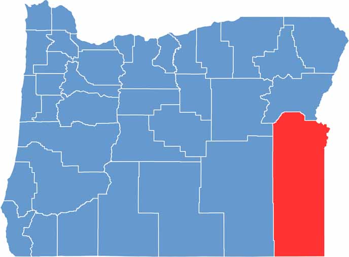

Location map of Malheur County, Oregon
CategoryDetails
County NameMalheur County
County SeatVale
EtymologyNamed after the Malheur River
Cities, Towns, and CommunitiesOntario, Vale, Nyssa, Jordan Valley, Adrian
Interstates and HighwaysInterstate 84, U.S. Highway 20, U.S. Highway 26, State Highway 201
FIPS Code41-045
Total Area (Land and Water)9,930 square miles (9,888 sq mi land, 42 sq mi water)
Adjacent Counties (and Direction)Grant County (Northwest), Baker County (North), Washington County, Idaho (Northeast), Payette County, Idaho (East), Canyon County, Idaho (East), Owyhee County, Idaho (East), Humboldt County, Nevada (South), Harney County (West)
Time ZoneMountain Time Zone (MST)
StateOregon
Coordinates43°14’N, 117°23’W
Major LandmarksOwyhee Canyonlands, Leslie Gulch, Malheur Butte, Jordan Craters
PopulationApproximately 33,000
Scroll to Top