
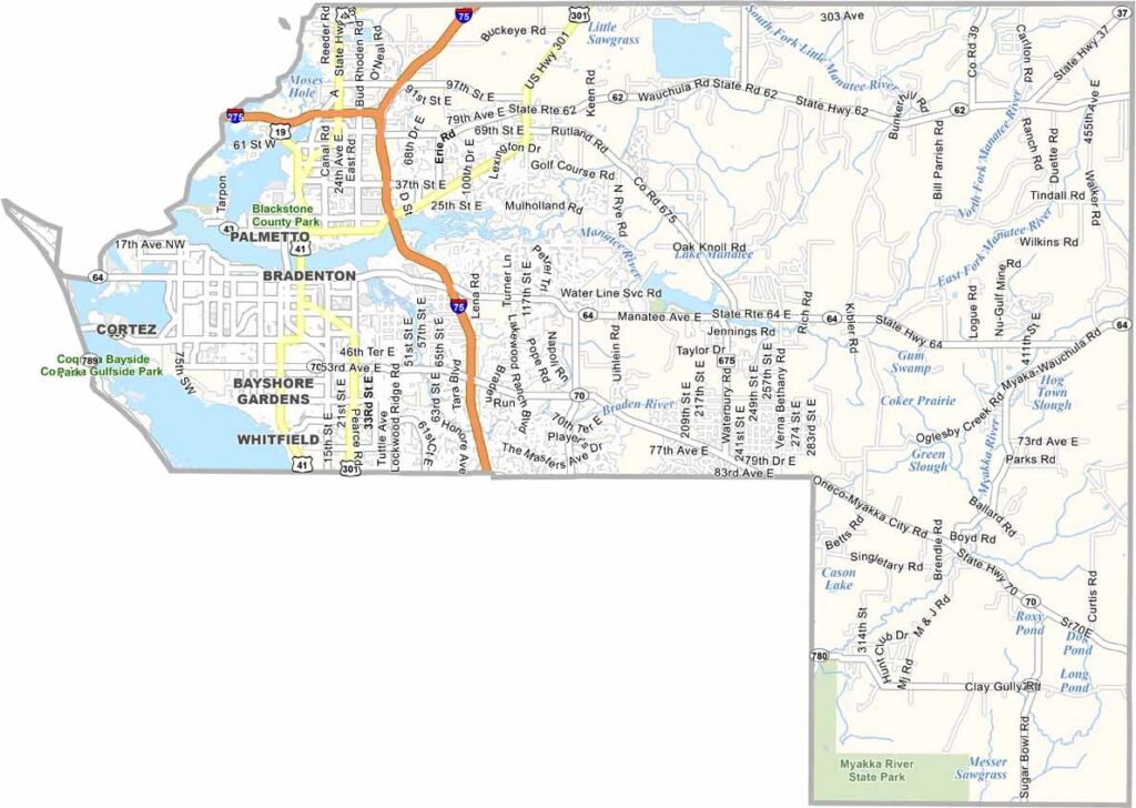
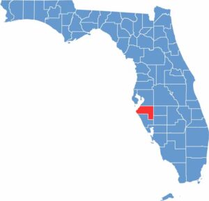
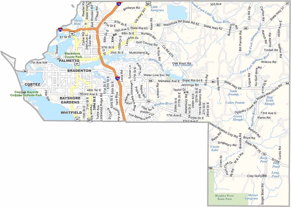
Manatee County is located along Florida’s Gulf Coast, just south of Tampa Bay. Bradenton serves as the county seat and combines historic Florida charm with continued development. The county takes its name from the Manatee River, which flows through the area.
Anna Maria Island is a popular destination for visitors, known for its relaxed atmosphere and beautiful sandy beaches. The county attracts a mix of retirees, families, and seasonal residents, while its agricultural heritage remains visible in the eastern communities.
IMG Academy brings young athletes from around the world, while Robinson Preserve offers opportunities for hiking, kayaking, and wildlife viewing. Traffic can become heavy during the tourist season, but Manatee County continues to balance coastal development with rural landscapes and natural attractions. It offers a quieter alternative to Florida’s major theme-park destinations while still providing plenty of opportunities for outdoor recreation.
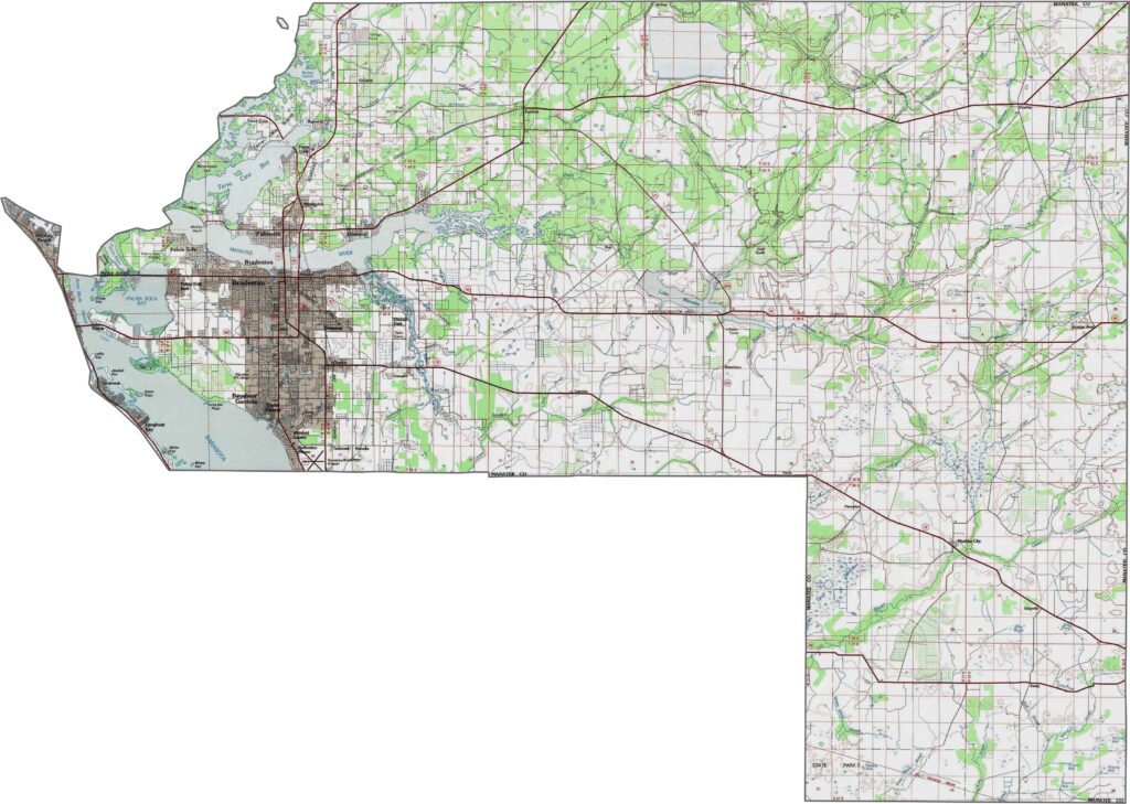
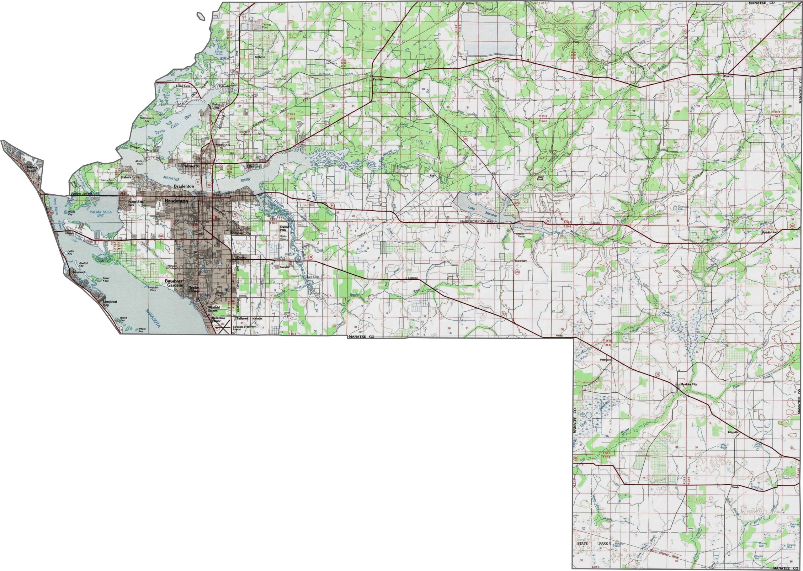
Manatee County slopes gradually from the interior toward the Gulf Coast. The central areas feature rolling terrain with lakes and wetlands, while the western portion includes barrier islands and mangrove forests with very little elevation change. Explore these features up close with our zoom tool.
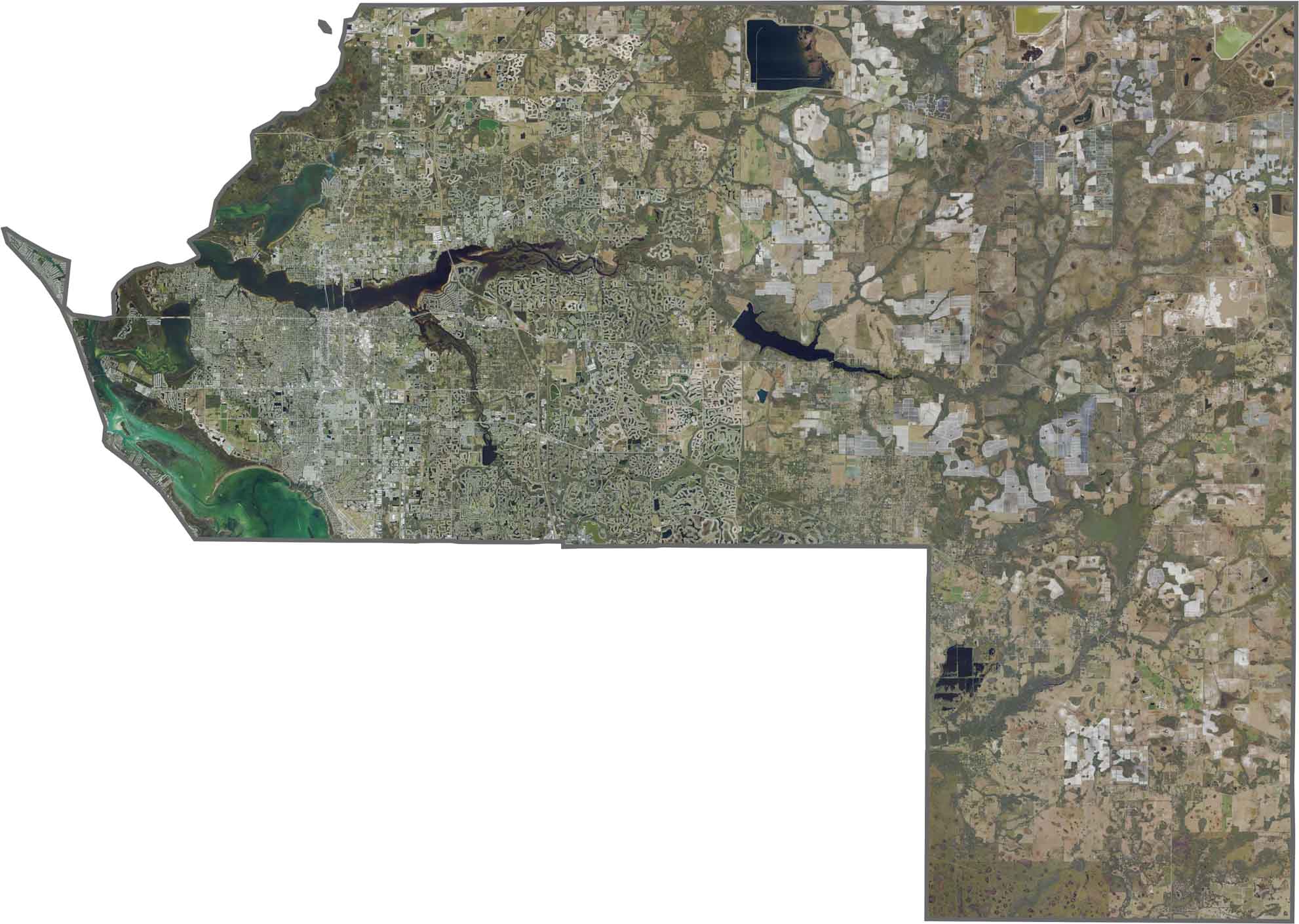
Our satellite map of Manatee County highlights its rolling inland landscape and complex coastal system. The Gulf shoreline features barrier islands, mangrove forests, and estuaries, while the interior contains agricultural lands and suburban developments. Zoom in to see how land and water interact across the county.
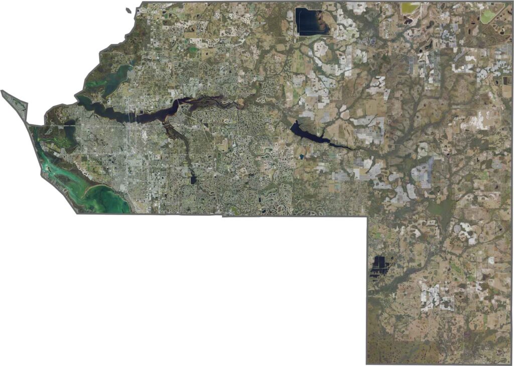
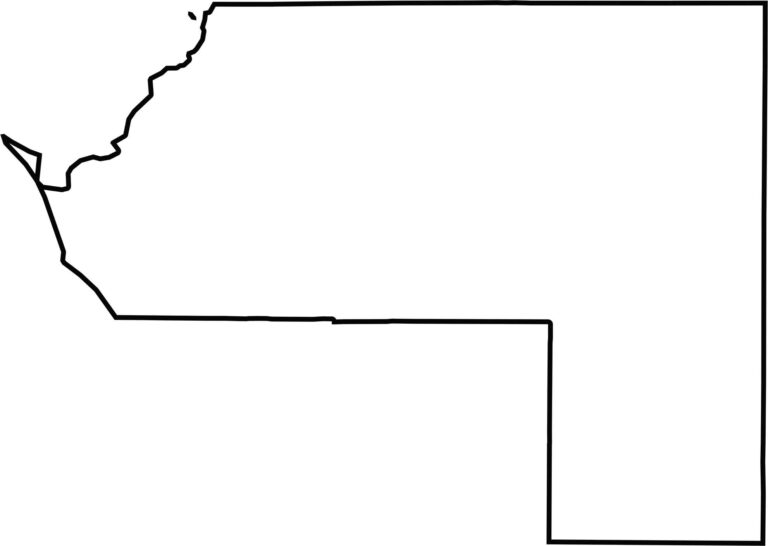
Manatee County has a mix of coastal and inland boundaries. The eastern boundary is relatively straight, following established county lines, while the Gulf of Mexico shapes the northwestern edge. The county’s outline reflects its transition from inland communities to the coastal landscape.








Looking to find a county map of Florida? Our Florida county map breaks down all 67 counties. Explore the Sunshine State with detailed topographic, satellite, and outline maps.