
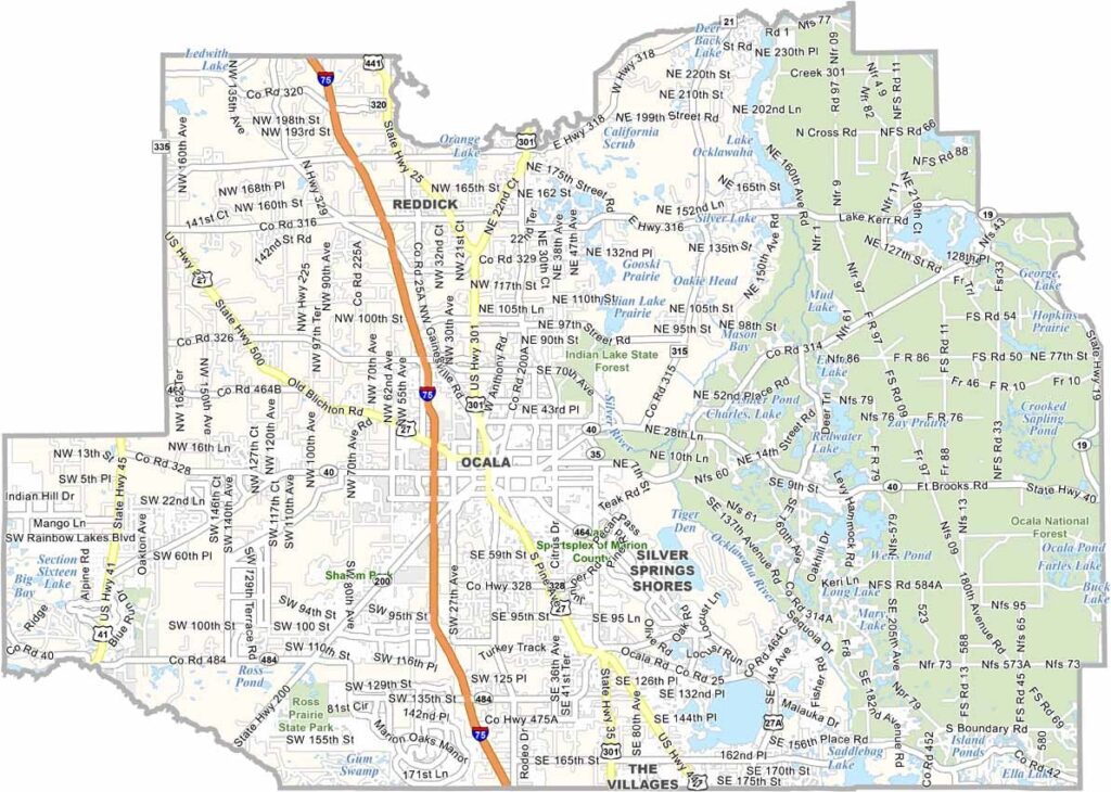
Sure, you can find horses in other parts of Florida, but Marion County is the real deal. It is known as the “Horse Capital of the World,” with more horses than any other county in the United States. Ocala, the county seat, sits among rolling hills, which are unusual in Florida.
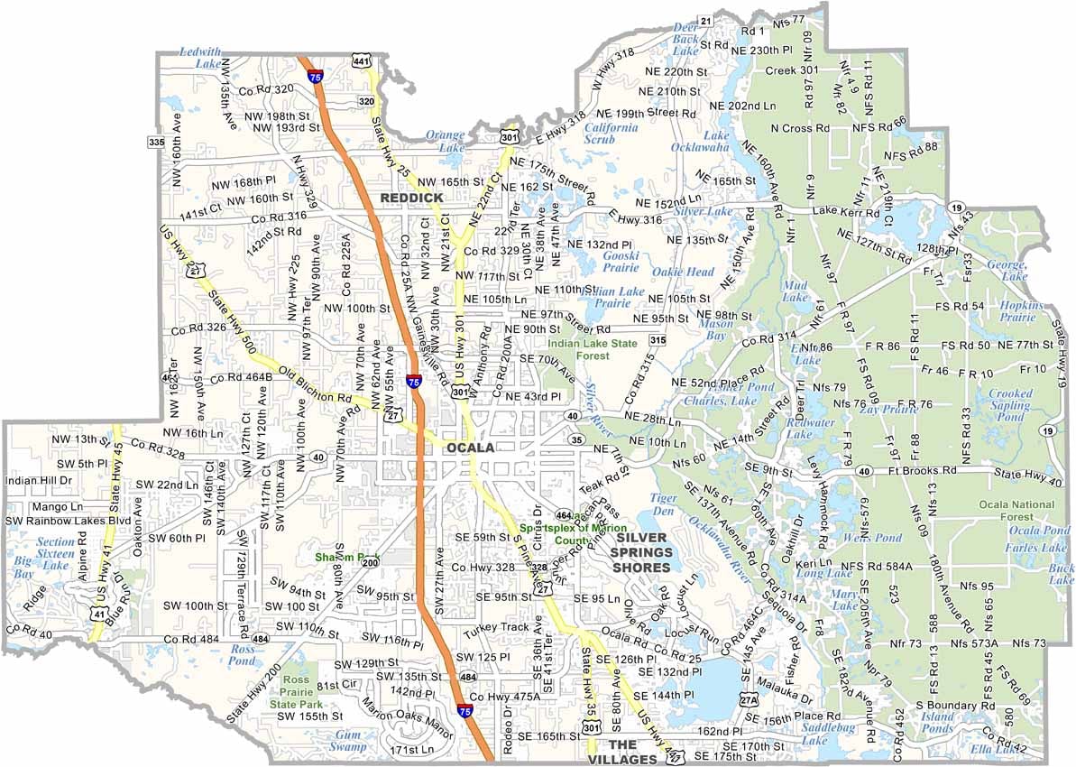
The Ocala National Forest covers a large portion of the eastern county, offering plenty of opportunities for hiking, camping, and outdoor recreation. Silver Springs, one of Florida’s earliest tourist attractions, continues to draw visitors with its famous glass-bottom boat tours. The county also has a mix of horse farms, retirement communities, and growing suburban areas.
Marion County is home to some of Florida’s clearest natural springs, which provide excellent opportunities for swimming, kayaking, and wildlife viewing. The area generally has a slower pace of life than nearby Orlando. With its blend of rural landscapes and new development, Marion County offers a unique combination of traditional Florida charm and outdoor adventure.
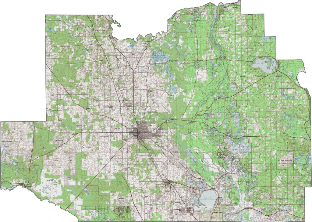
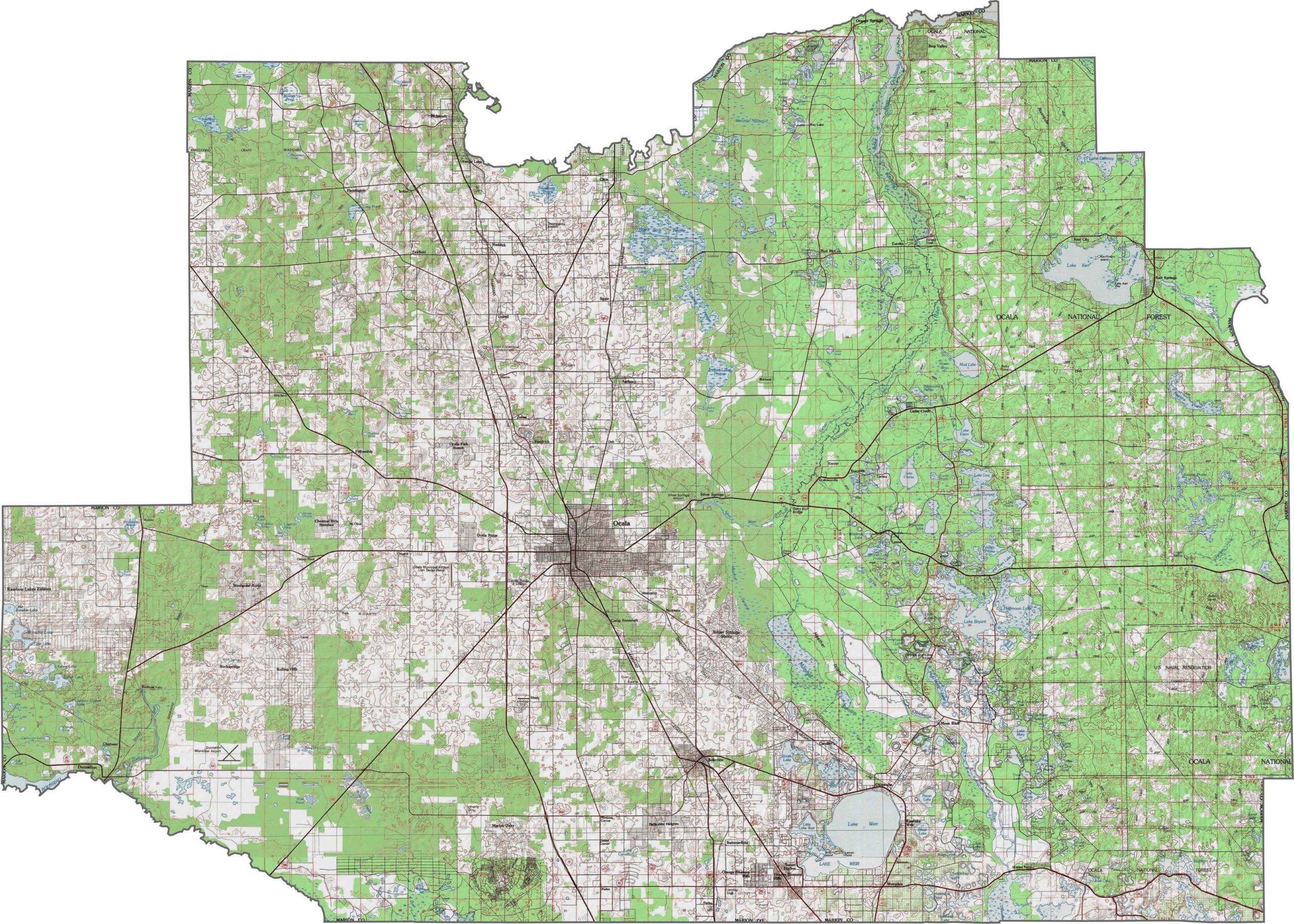
This Marion County topographic map features the Ocala National Forest in the east, with its distinctive sand pine scrub ecosystems growing on ancient dunes. The southern part of the county gradually slopes toward the Withlacoochee River basin. Our zoom tool makes it easy to explore these changes in elevation.
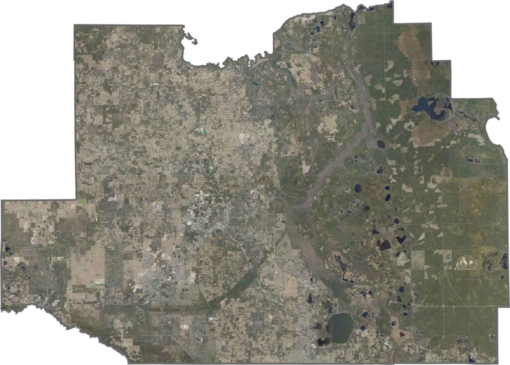
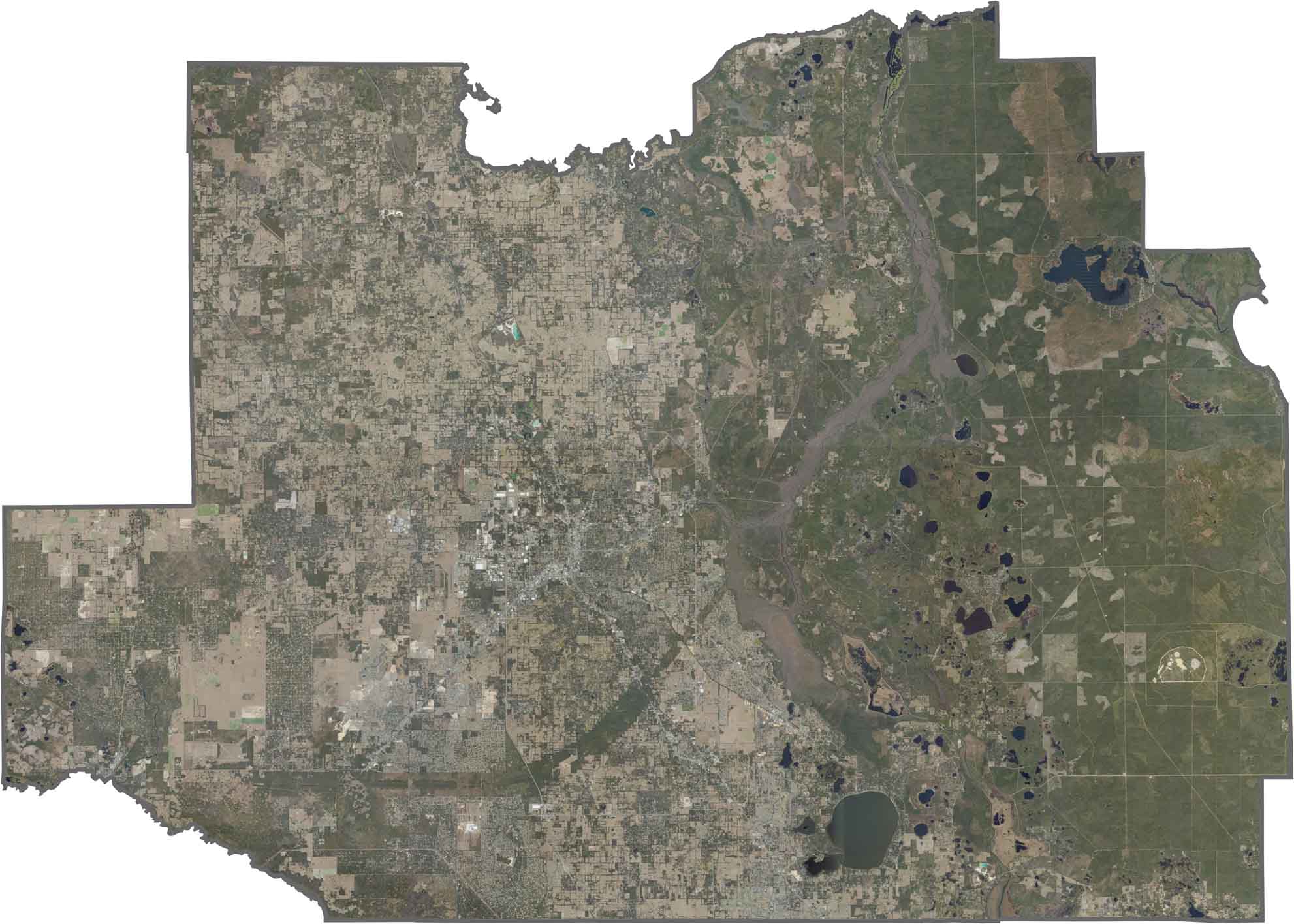
Marion County blends rolling hills, forests, and agricultural lands. The Ocala National Forest in the east contrasts with the more developed western and central areas. Zoom in to explore the mix of natural preserves, forests, farms, and other landscapes across the county.
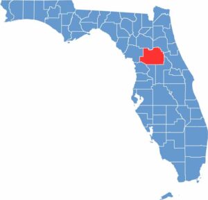
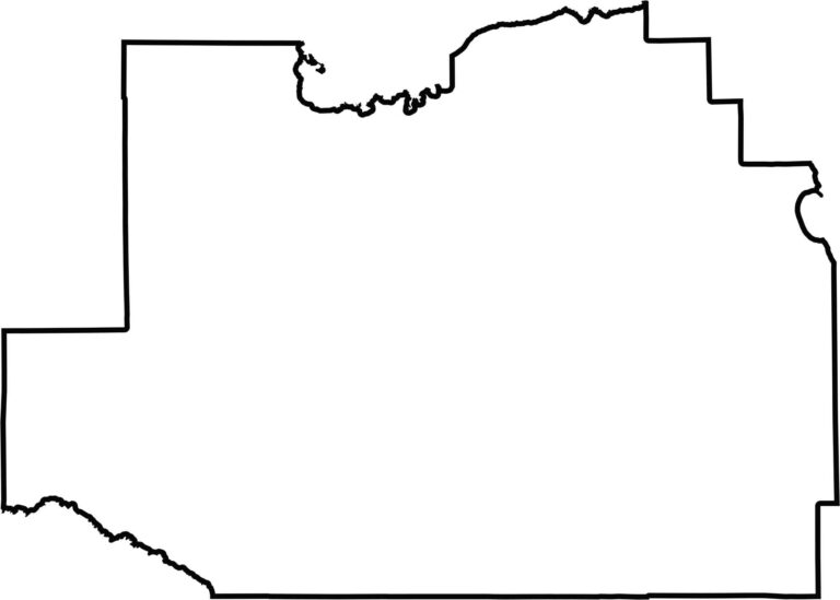
Marion County is roughly square but slightly irregular, with rivers and conservation lands influencing parts of its boundaries. Our blank map emphasizes its large, central location in Florida and its distinctive overall shape.








Looking to find a county map of Florida? Our Florida county map breaks down all 67 counties. Explore the Sunshine State with detailed topographic, satellite, and outline maps.