Matanuska-Susitna Borough, Alaska

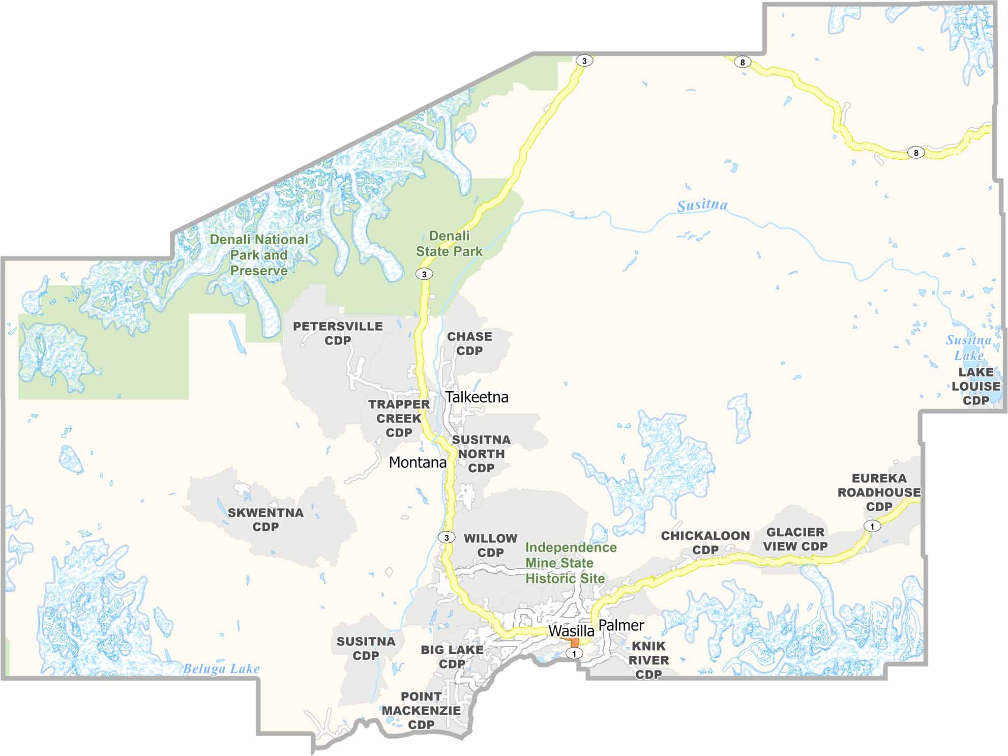
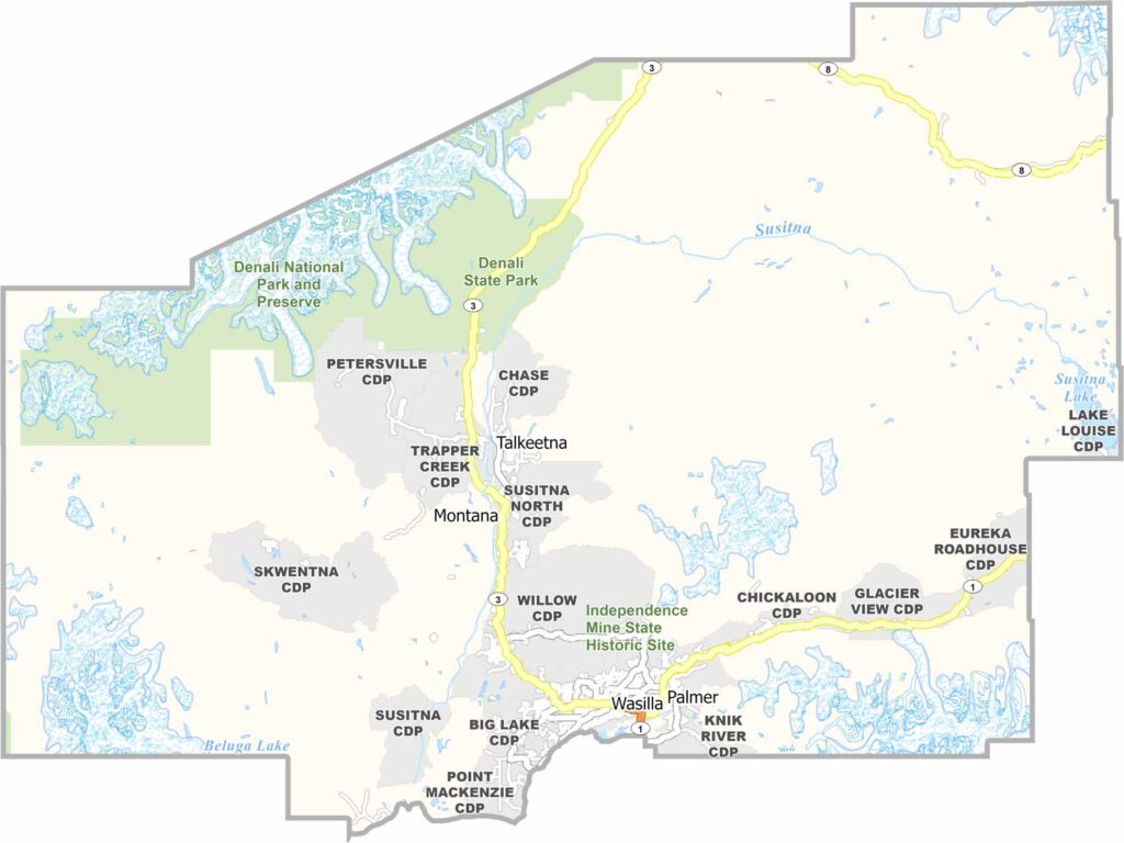
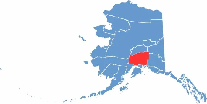
Matanuska-Susitna Borough, commonly known as Mat-Su, is located north of Anchorage. It is one of the fastest-growing areas in Alaska, with a population of about 120,000 people. Palmer and Wasilla are the main towns in the borough.

Many residents commute to Anchorage for work. The borough is well known for its farming, as the long summer days help produce exceptionally large vegetables. Mat-Su is also known for its beautiful scenery, including mountains, rivers, and forests.

The area was settled during the 1930s as part of a government farming project. Today, it is a mix of rural and suburban communities. Tourism plays an important role, with many visitors using Mat-Su as a base to explore Alaska. The borough is home to part of Denali State Park. Despite its continued growth, Mat-Su still has plenty of open space and abundant wildlife.
CategoryDetails
Borough NameMatanuska-Susitna Borough
Borough SeatPalmer
PopulationApproximately 120,000
Cities, Towns, and CommunitiesWasilla, Palmer, Big Lake, Houston, Sutton, Talkeetna, Willow, Trapper Creek, Butte, Knik-Fairview, Meadow Lakes, Chickaloon
Interstates and HighwaysAlaska Route 1 (Glenn Highway), Alaska Route 3 (Parks Highway), Alaska Route 4
FIPS Code02-170
Total Area (Land and Water)25,258 square miles (Land: 24,682 sq mi, Water: 576 sq mi)
Adjacent Boroughs and Census Areas (and Direction)Denali Borough (North), Southeast Fairbanks Census Area (Northwest), Copper River Census Area (East), Chugach Census Area (East), Municipality of Anchorage (South), Kenai Peninsula Borough (South), Bethel Census Area (West), Yukon-Koyukuk Census Area (West)
Time ZoneAlaska Time Zone (AKT)
StateAlaska
Coordinates61.6002° N, 149.1170° W
EtymologyNamed after the Matanuska and Susitna Rivers, both of which flow through the borough
Major LandmarksDenali State Park, Hatcher Pass, Independence Mine State Historical Park, Matanuska Glacier, Iditarod Trail Headquarters, Knik Glacier
Scroll to Top