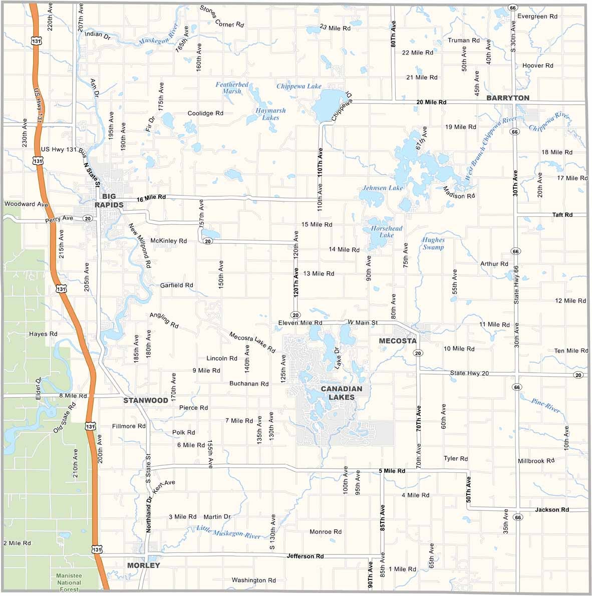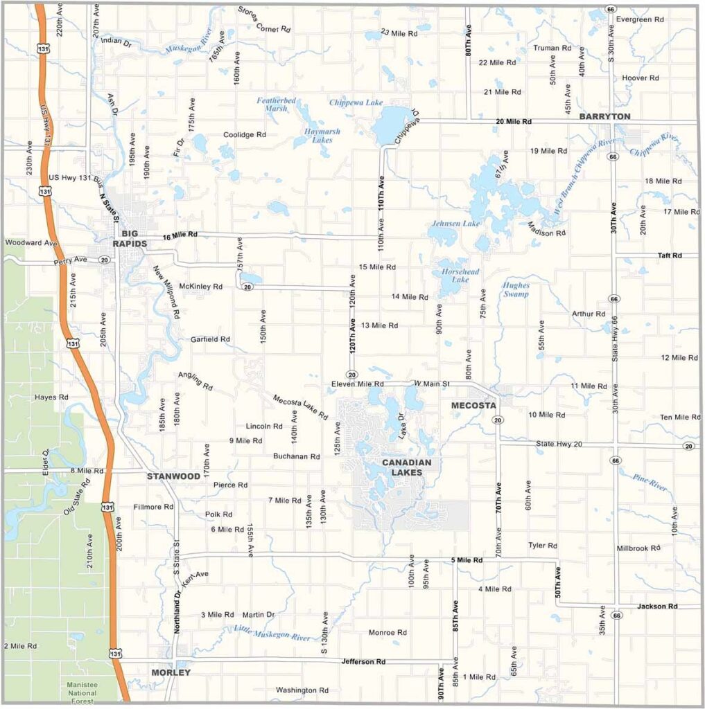
Mecosta County Map, Michigan

Mecosta County, Michigan

Picture rolling farmland and lakes in the heart of Michigan’s Lower Peninsula. That’s Mecosta County for you. Big Rapids, the county seat, is home to Ferris State University.

Locals love fishing and boating on the Muskegon River, which winds through the county. In fact, the county has more than 100 lakes scattered throughout.

The area’s history is tied to logging and agriculture, and you can still spot old barns across the countryside. And hey, where else can you find a town called Wheatland that isn’t actually known for wheat?
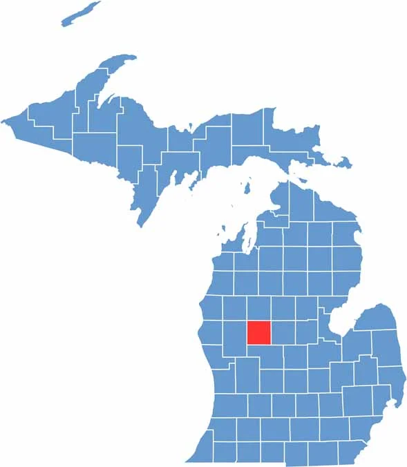

Mecosta County location map of Michigan
CategoryDetails
County NameMecosta County
County SeatBig Rapids
Cities, Towns, and CommunitiesBig Rapids, Stanwood, Morley, Mecosta, Barryton, Canadian Lakes, Paris
Interstates and HighwaysUS 131, M-20
FIPS Code26-107
Total Area (Land and Water)571 square miles (Land: 555 sq mi, Water: 16 sq mi)
Adjacent Counties (and Direction)Osceola County (North), Lake County (Northwest), Clare County (Northeast), Isabella County (East), Montcalm County (Southeast), Newaygo County (Southwest)
Time ZoneEastern Time Zone (ET)
StateMichigan
Coordinates43.6411° N, 85.3249° W
EtymologyNamed after Chief Mecosta, a Native American leader of the Potawatomi tribe
Major LandmarksFerris State University, Mecosta County Park, White Pine Trail State Park, Hardy Dam Pond
PopulationApproximately 43,000
Scroll to Top