
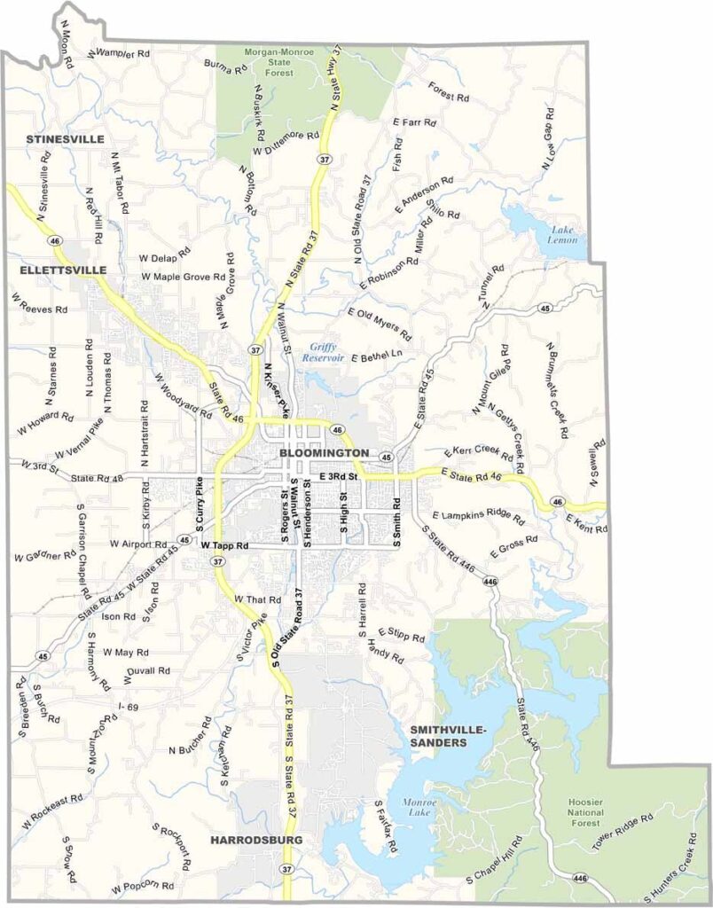
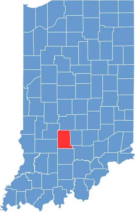
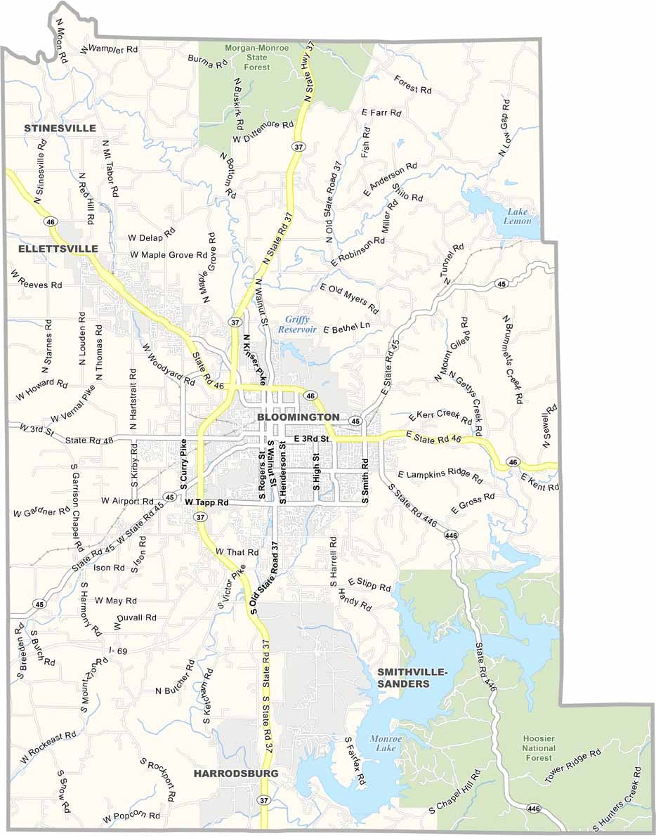
Monroe County feels like the cultural heart of southern Indiana. Bloomington, the county seat, is home to Indiana University. But this county is about more than just students and professors.
Outside the city, you’ll find a mix of rolling hills, forests, and farmland. Lake Monroe, the largest lake in the state, is a major attraction for boaters and beach-goers.
You might catch the Little 500 bicycle race in the spring, which was made famous by the movie “Breaking Away.” Monroe County combines Midwest charm with a more progressive outlook.
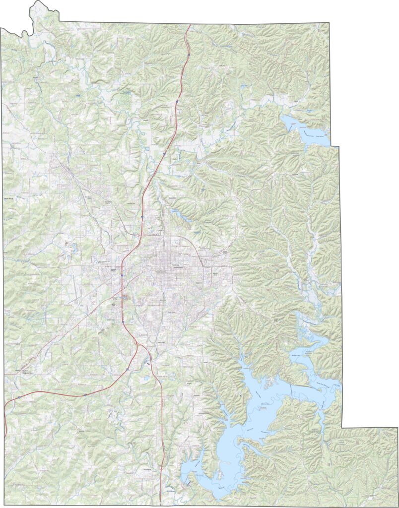
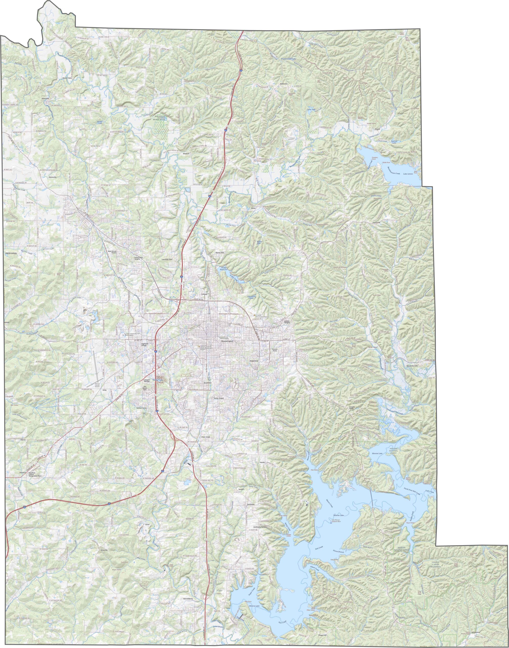
Hilly terrain dominates the eastern parts of the county, while the central areas are flatter. Several lakes are scattered throughout the landscape, with Monroe Lake covering the largest area in the southeast. The varied terrain includes forests, quarries, and floodplains.
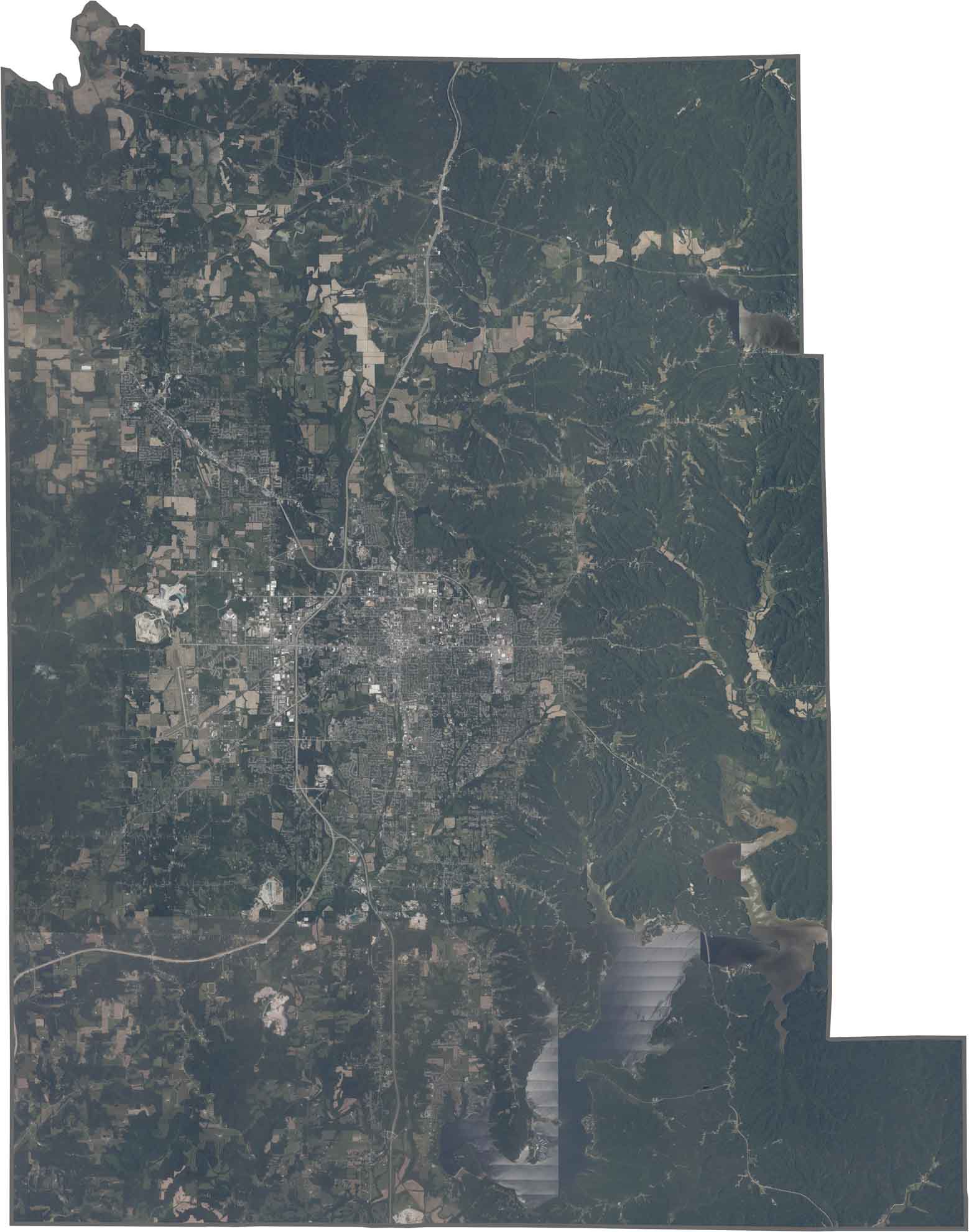
Bloomington stands out as a dense area near the center of the county. Numerous blue lakes can be seen throughout the region, especially in the eastern half. Green forests cover much of the outer areas of Monroe County.
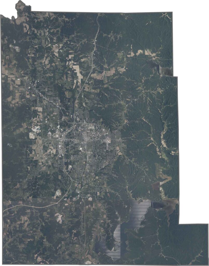
The county has an irregular shape with mostly straight boundaries. It does not share a border with any other state.







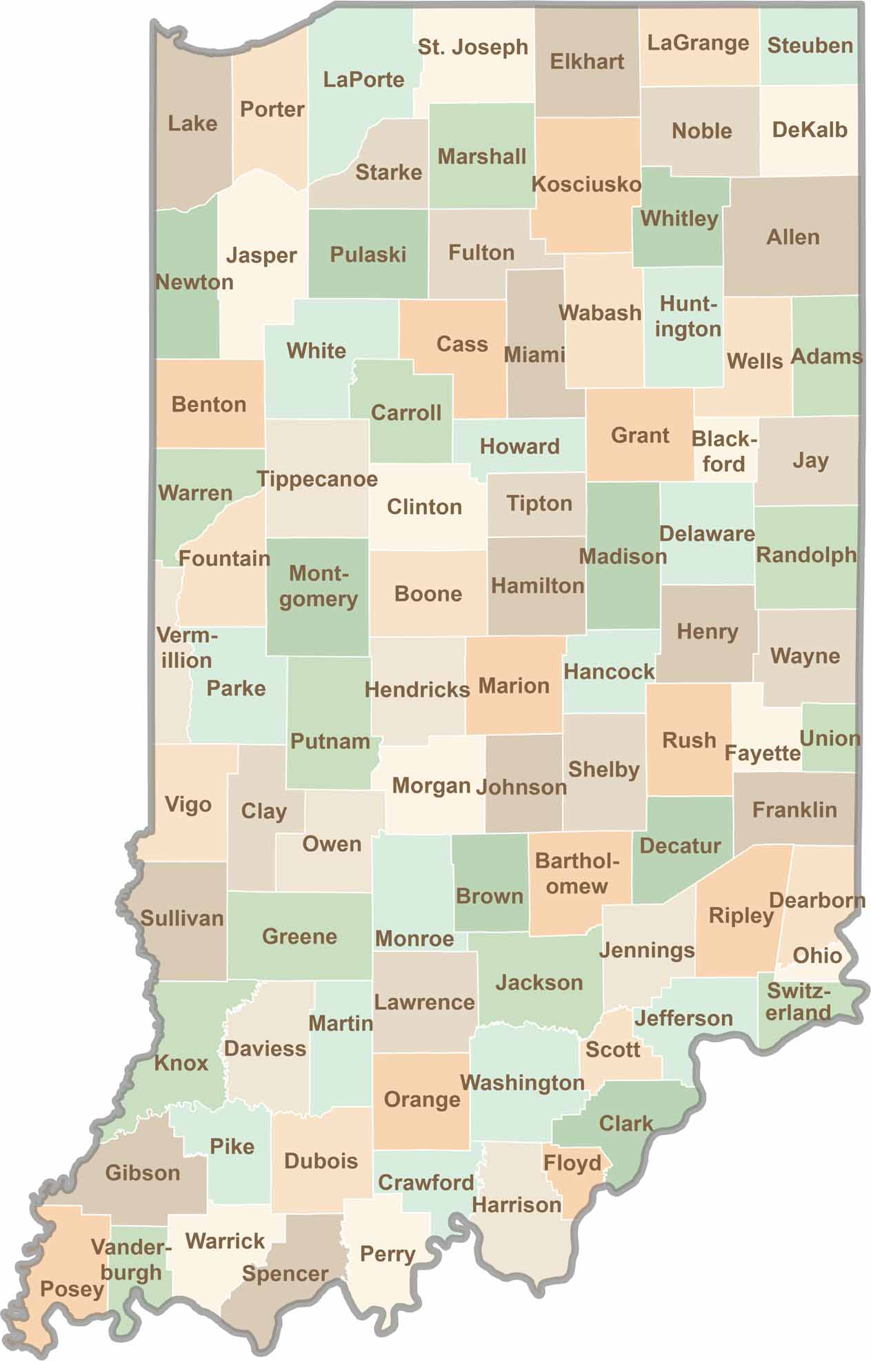
Explore the Hoosier State, home to 92 counties filled with scenic backroads, impressive skyline views, and charming small towns. Think of this as your glovebox passport to Indiana, guiding you to classic diner pies, covered bridges, and stunning Lake Michigan sunsets.