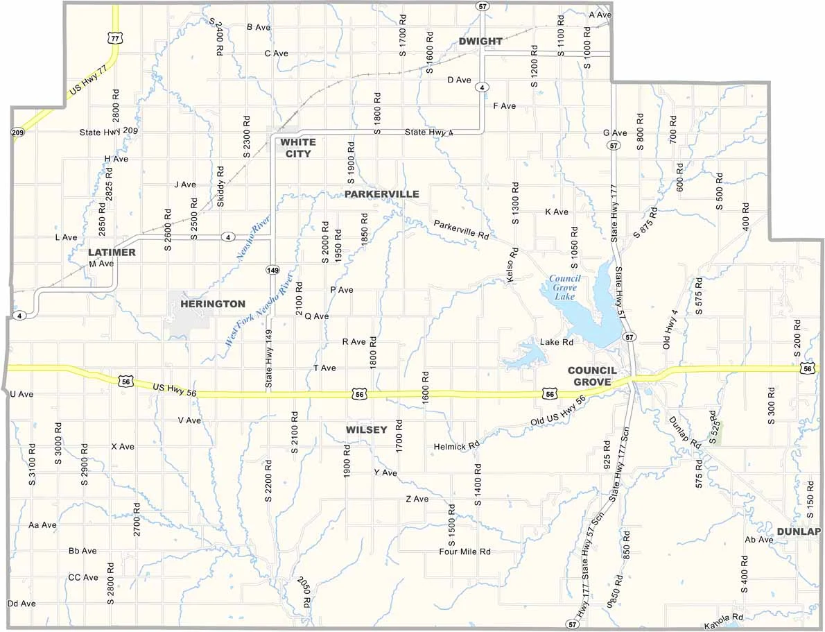
Morris County, Kansas

Morris County is nestled in the Flint Hills of central Kansas. Council Grove, the county seat, has strong ties to the Santa Fe Trail, with historic sites scattered throughout the area.

U.S. Highway 56 makes it easy to explore this scenic part of Kansas. With about 5,500 residents, it’s a small but proud community.

If you’re interested in Native American history, Allegawaho Memorial Heritage Park is worth a visit. The Tallgrass Prairie National Preserve is also nearby, located just south of Morris County.
CategoryDetails
County NameMorris County
County SeatCouncil Grove
EtymologyNamed after Thomas Morris, U.S. Senator from Ohio and anti-slavery advocate
Cities, Towns, and CommunitiesCouncil Grove, Cottonwood Falls, Dwight, and several smaller communities
Interstates and HighwaysU.S. Highway 56, U.S. Highway 177, Kansas Highway 4
FIPS Code20-127
Total Area (Land and Water)718 square miles (land: 717 sq mi, water: 1 sq mi)
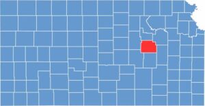
Adjacent Counties (and Direction)Geary County (North), Wabaunsee County (Northeast), Lyon County (Southeast), Chase County (South), Marion County (Southwest), Dickinson County (West)
Time ZoneCentral Time Zone (CST)
Population5,500
StateKansas
Coordinates38.35°N, 96.55°W
Major LandmarksCouncil Grove Historic District, the Santa Fe Trail, and the Kaw Mission State Historic Site
Scroll to Top