
Natrona County is located in the heart of Wyoming and is home to Casper, the state’s second-largest city. Known for its diverse landscapes, the county features a mix of rolling prairies, rugged mountains, and the scenic North Platte River, which flows through the region and plays an important role in its history and recreation.
The county has long been a center for Wyoming’s energy industry, with oil and natural gas production serving as major economic drivers. Ranching also remains an important part of the local culture and economy, reflecting the area’s strong Western heritage. Natrona County’s history is deeply connected to both the Old West and the development of Wyoming’s oil industry.
Beyond its natural attractions, Natrona County features museums, shopping districts, local restaurants, and a growing food scene. Combined with its welcoming communities, strong economy, and abundant recreational opportunities, Natrona County offers a unique blend of Western tradition and modern living in central Wyoming.
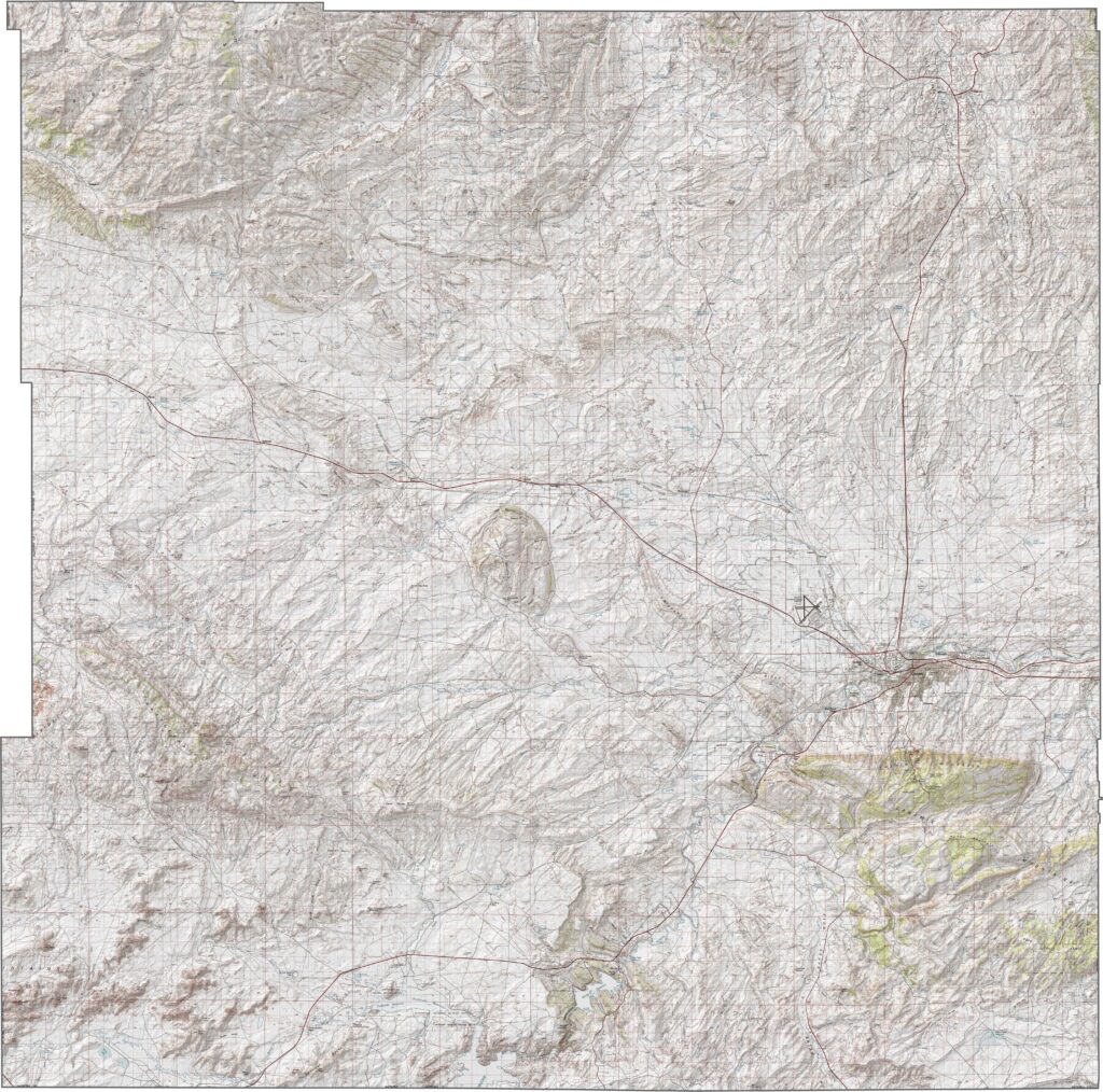
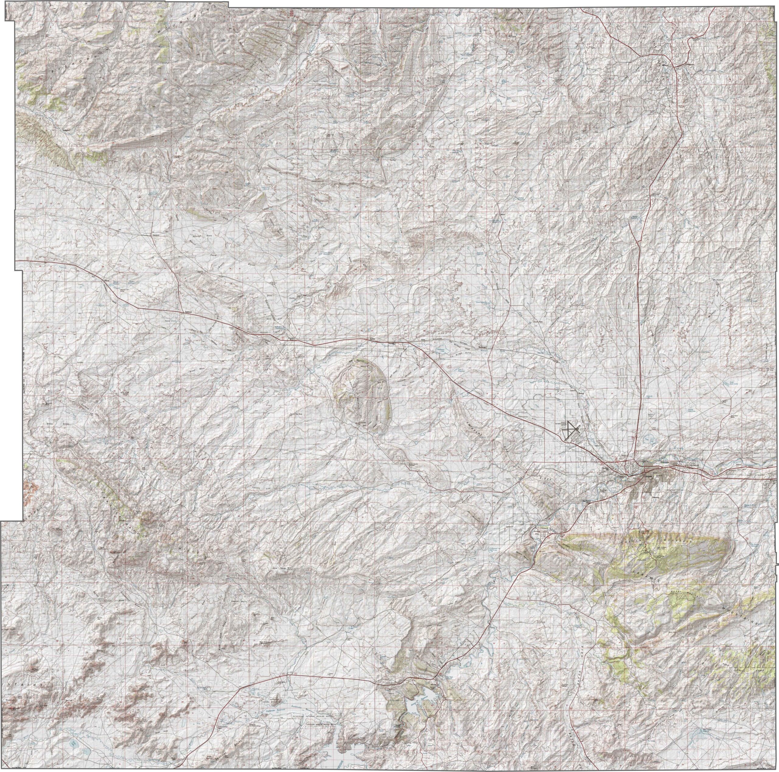
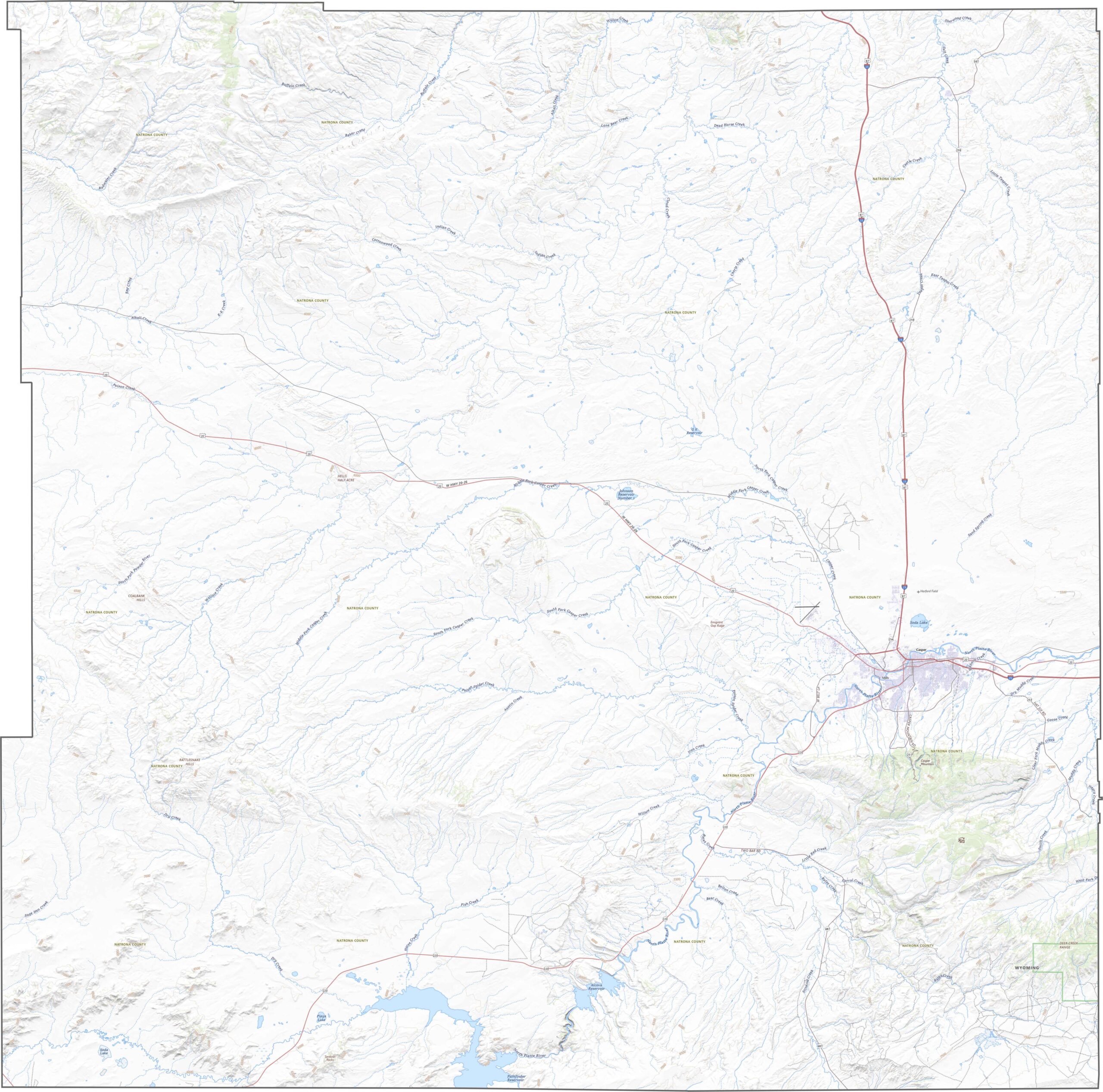
The Natrona County topographic map highlights the county’s rugged and diverse terrain. A defining geological feature is the Casper Arch, which stretches across the region and creates a landscape of elevated ridges, rolling uplands, and broad valleys. These changes in elevation give the county a distinctive and varied topography.
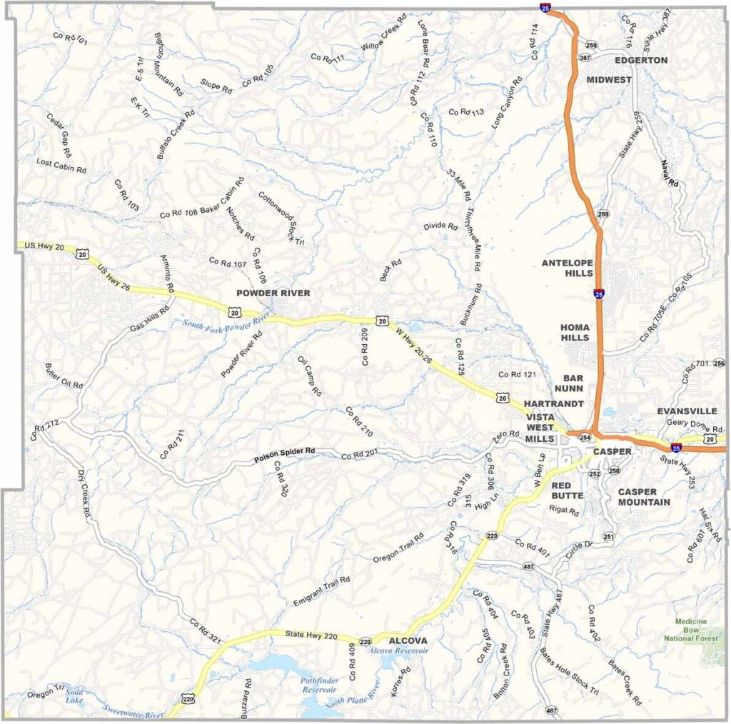
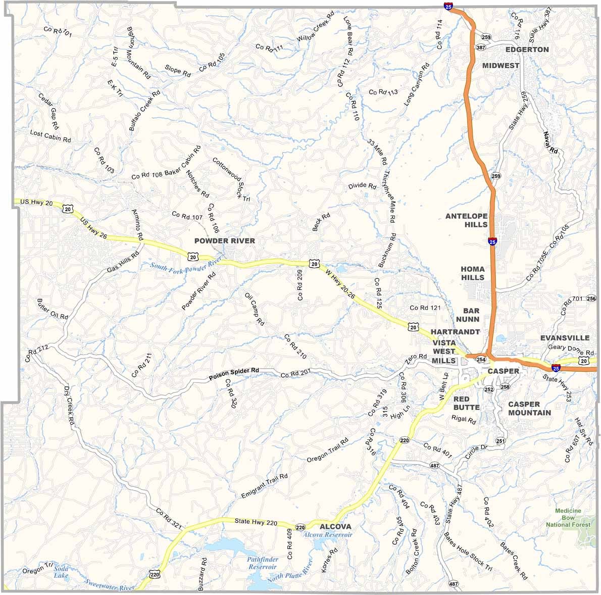
The Natrona County road map highlights the county’s role as a major transportation hub in central Wyoming. Casper, the county seat, serves as the focal point where several important highways converge. Interstate 25 (I-25) passes through the county, providing key connections to northern and eastern Wyoming. Additional routes, including U.S. Highway 20, extend westward and link communities across the state.While Interstate 25 offers the fastest travel option, many of Natrona County’s scenic highways and rural roads provide access to Wyoming’s striking landscapes, including open plains, rolling hills, and recreational destinations. These routes make it easy to explore both the county’s urban center and its vast surrounding countryside.
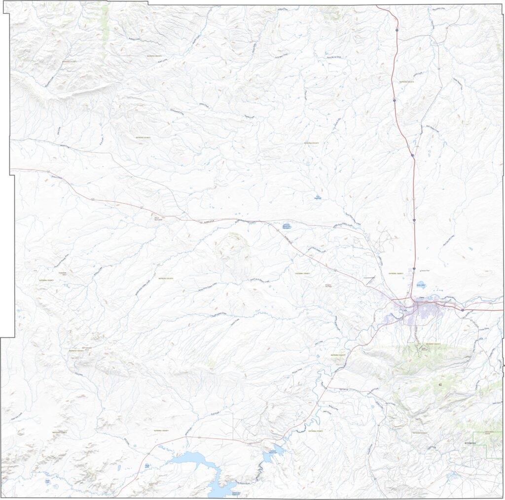
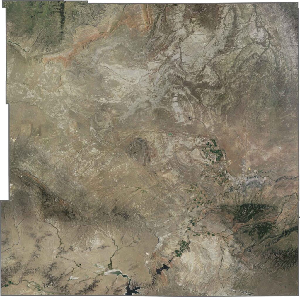
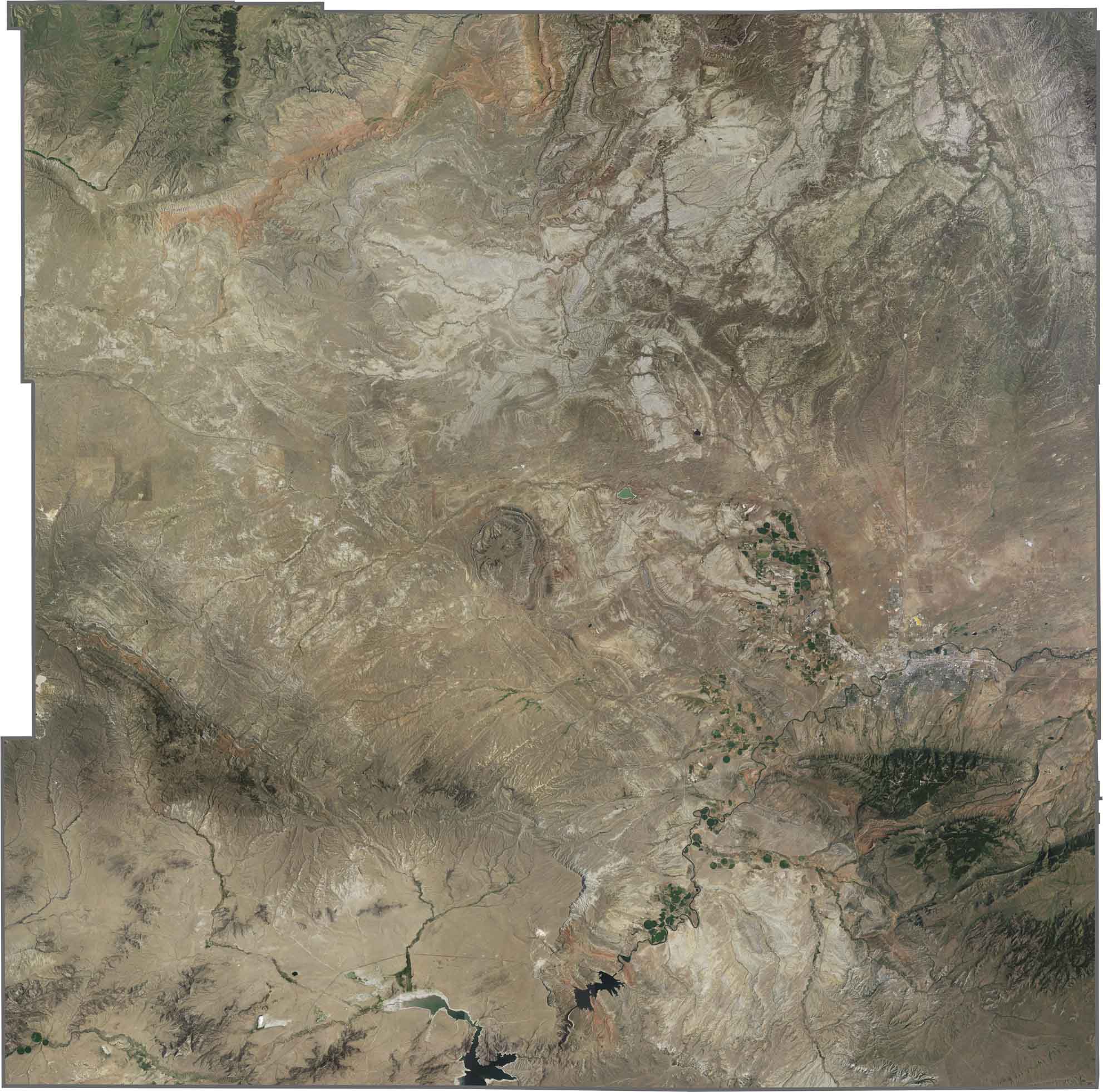
The Natrona County satellite map reveals the county’s rugged and sparsely populated landscape. Much of the region appears open and dry, reflecting the semi-arid environment of central Wyoming. Casper, located in the eastern part of the county, stands out as the largest concentration of urban development, with its street network and neighborhoods clearly visible from above.Beyond the city, the landscape quickly transitions into rocky terrain, expansive plains, and undeveloped countryside. Dry riverbeds, reservoirs, and rugged ridgelines are among the most prominent natural features visible in satellite imagery, highlighting the county’s unique blend of geological formations and open spaces.
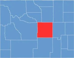
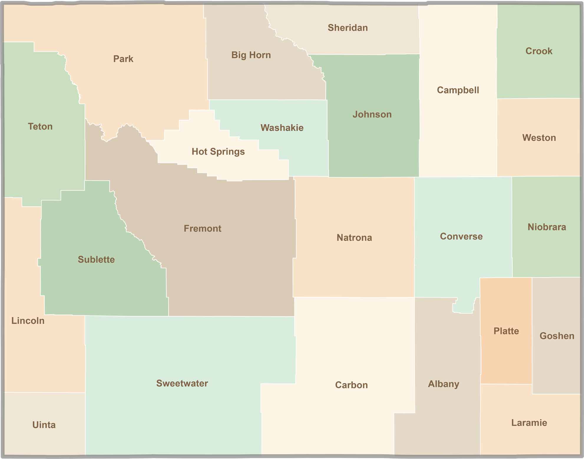
The Natrona County outline map displays a shape that is generally square, with a noticeable indentation along its western boundary. Located in central Wyoming, the county is surrounded entirely by other Wyoming counties and does not share a border with any neighboring state. Its position near the center of the state makes Natrona County an important geographic and transportation hub within Wyoming.



Get ready for endless open skies and unforgettable road trips through Wyoming. Home to 23 vast counties, Wyoming is known for its wide-open landscapes, breathtaking scenery, and peaceful escapes—not crowded cities. It's a destination that's big, bold, and authentically beautiful. Wyoming doesn't have to try to impress visitors; its natural beauty and rugged charm do that effortlessly.