
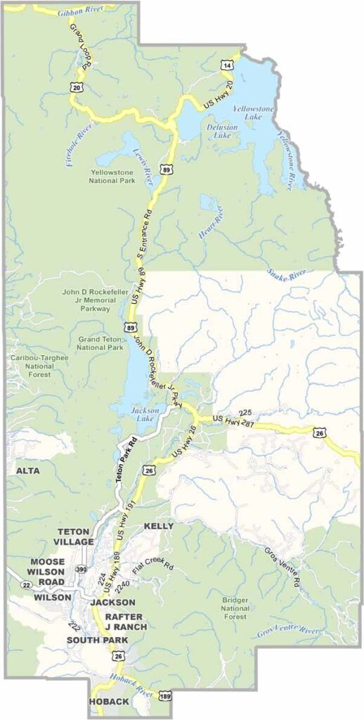
Teton County, Wyoming is one of the state's top travel destinations, famous for its breathtaking mountain scenery, abundant wildlife, and world-class outdoor adventures. Located in northwestern Wyoming, Teton County is home to Grand Teton National Park and shares a gateway with Yellowstone National Park, making it a must-visit destination for travellers exploring the American West.
The spectacular Teton Mountain Range dominates the landscape with its rugged peaks, crystal-clear alpine lakes, and scenic hiking trails. At the heart of the county is Jackson Hole, a year-round destination renowned for skiing, snowboarding, hiking, mountain biking, luxury resorts, and authentic Western culture.
Nature lovers can spot elk, moose, bison, bears, wolves, and bald eagles throughout the region. The Snake River offers exceptional opportunities for whitewater rafting, fly fishing, kayaking, and wildlife photography, while the surrounding forests and valleys provide endless outdoor recreation.
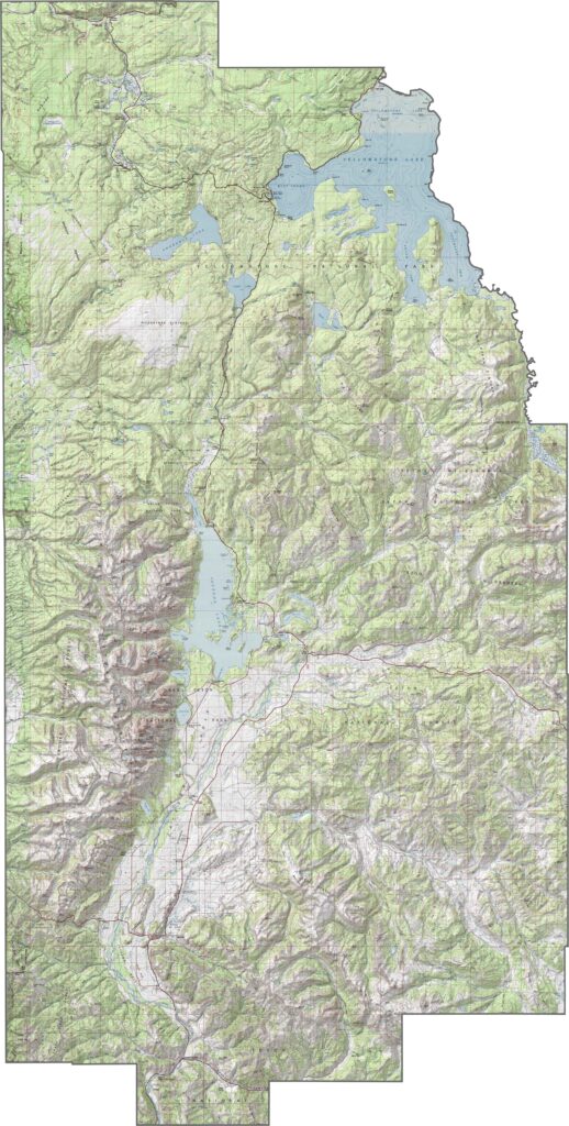
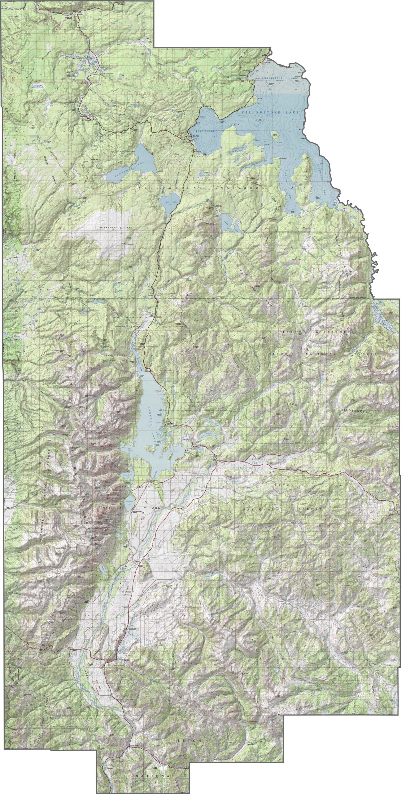
Teton County is defined by its dramatic elevation and breathtaking mountain landscapes. The iconic Teton Range dominates the skyline, with Grand Teton rising to more than 13,000 feet (4,199 metres) above sea level. Below these towering peaks lies the scenic Jackson Hole Valley, a vast high-elevation basin that stretches across the county. Despite its broad, open landscape, the valley sits at over 6,000 feet (1,800 metres), creating a striking contrast between rugged mountain summits and wide alpine plains. This unique geography makes Teton County one of the most spectacular destinations in Wyoming for hiking, sightseeing, wildlife viewing, and outdoor adventure.
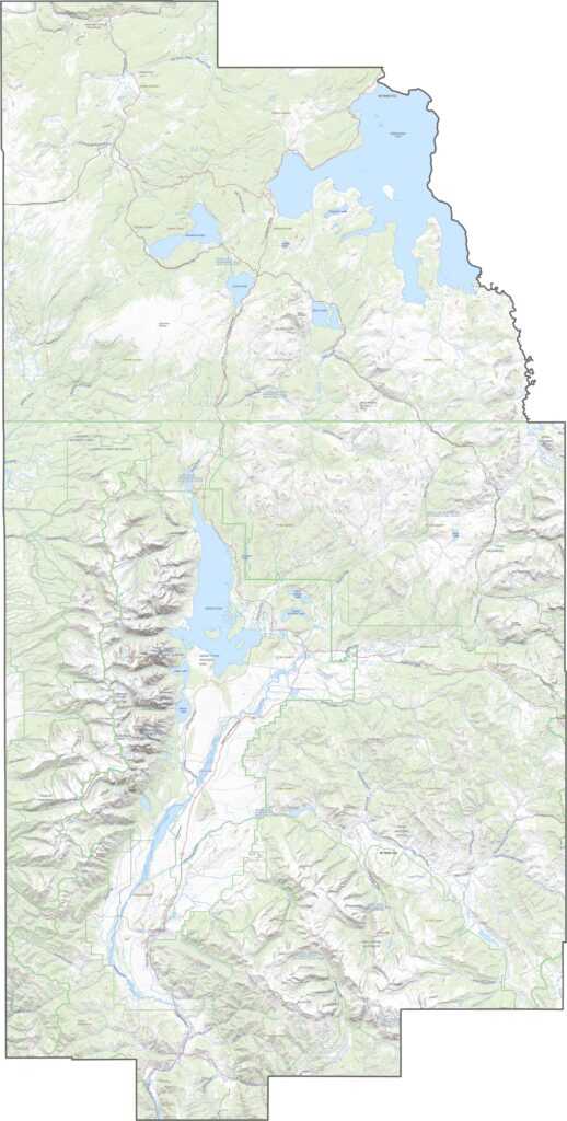
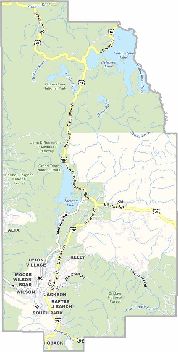
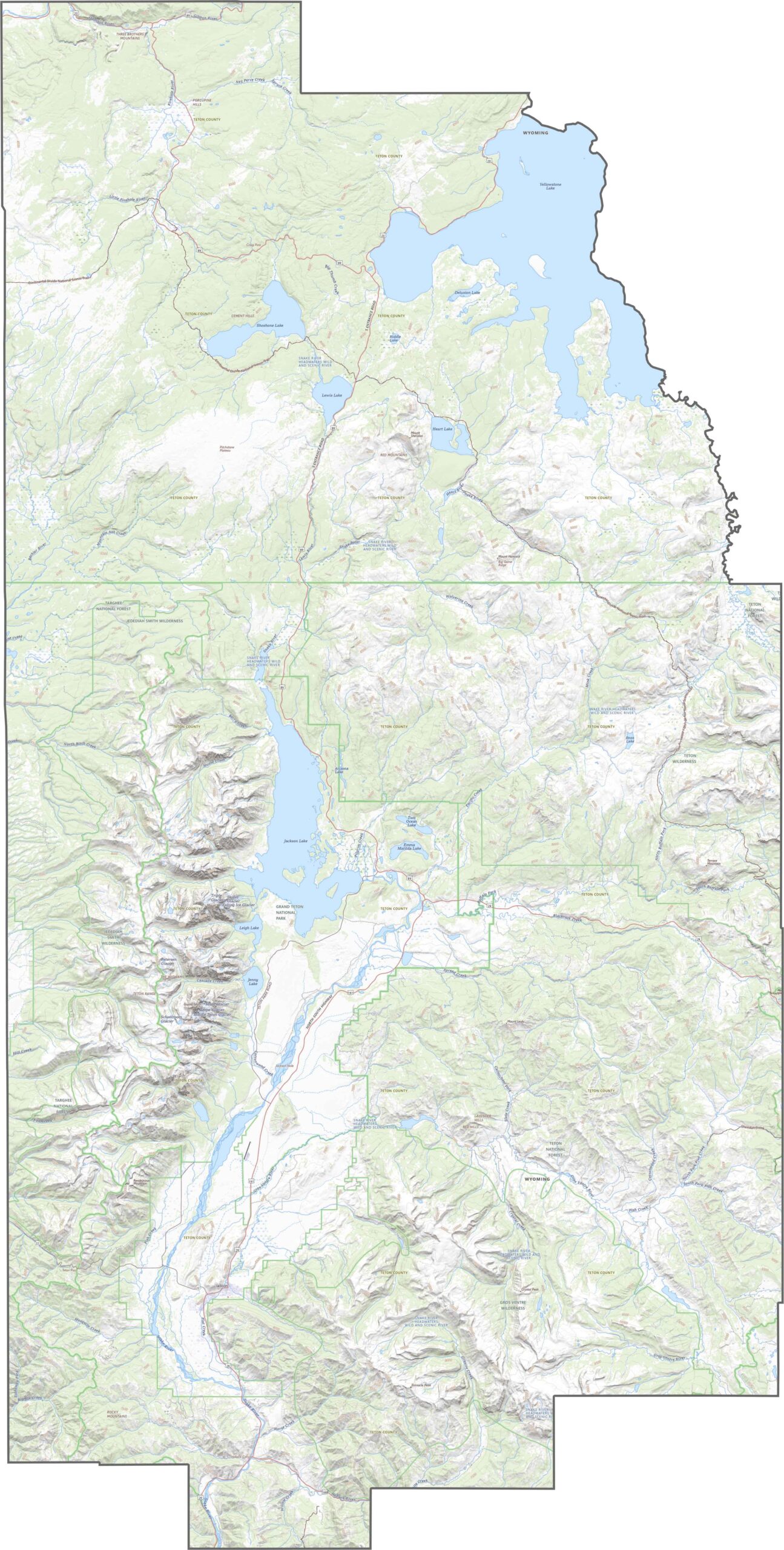
Despite its rugged mountain terrain, Teton County is accessible through a network of scenic highways that wind around towering peaks, alpine lakes, and high mountain passes. While there are no Interstate highways within the county, major U.S. highways connect Jackson to surrounding regions, including Yellowstone National Park, Grand Teton National Park, and neighbouring states. These breathtaking routes are among the most scenic drives in Wyoming, offering spectacular mountain views, abundant wildlife sightings, and easy access to hiking trails, ski resorts, and outdoor attractions throughout Teton County.
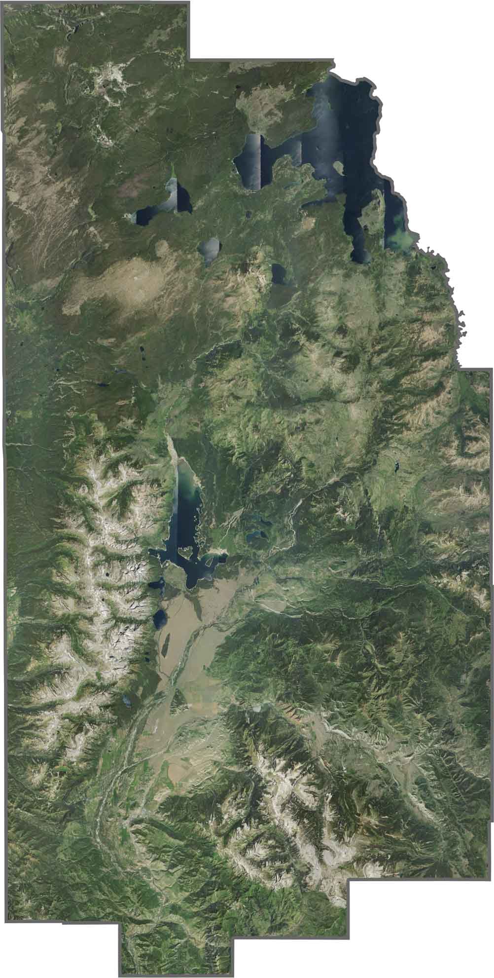
Teton County's landscape is instantly recognisable, with the towering Teton Mountains rising sharply above the valley in snow-capped, rugged peaks. The charming town of Jackson sits at the base of forested hills, serving as the gateway to Grand Teton National Park and Yellowstone National Park. Most of the county is protected as national park or national forest, creating vast expanses of evergreen forests, alpine meadows, rivers, and mountain terrain. From above, satellite imagery reveals a striking mix of green forests, rocky brown landscapes, and snow-covered peaks, with only small pockets of development scattered throughout this pristine wilderness.
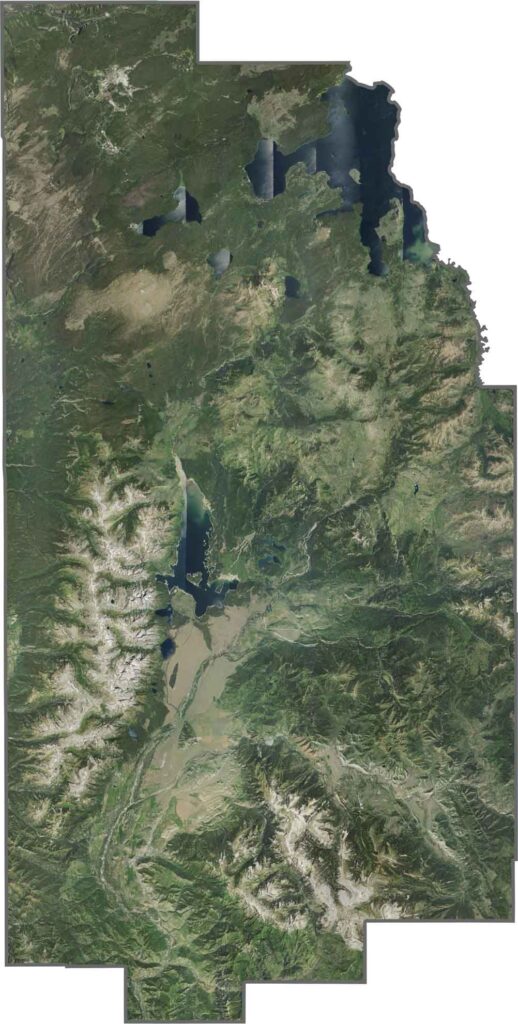
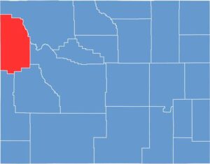
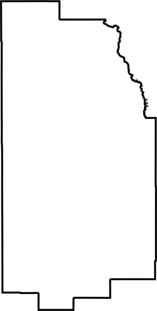
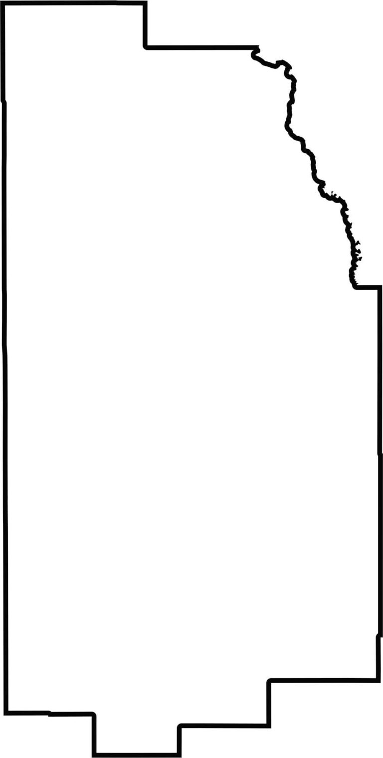
Teton County has a rugged, irregular shape shaped by Wyoming's spectacular natural landscape rather than straight boundary lines. Located in northwestern Wyoming, the county borders Idaho to the west and Montana to the northwest. Its northeastern boundary follows part of the shoreline of Yellowstone Lake, placing the county at the gateway to Yellowstone National Park. Surrounded by mountains, forests, rivers, and protected wilderness, Teton County's unique geography makes it one of the most scenic and ecologically significant regions in the United States.

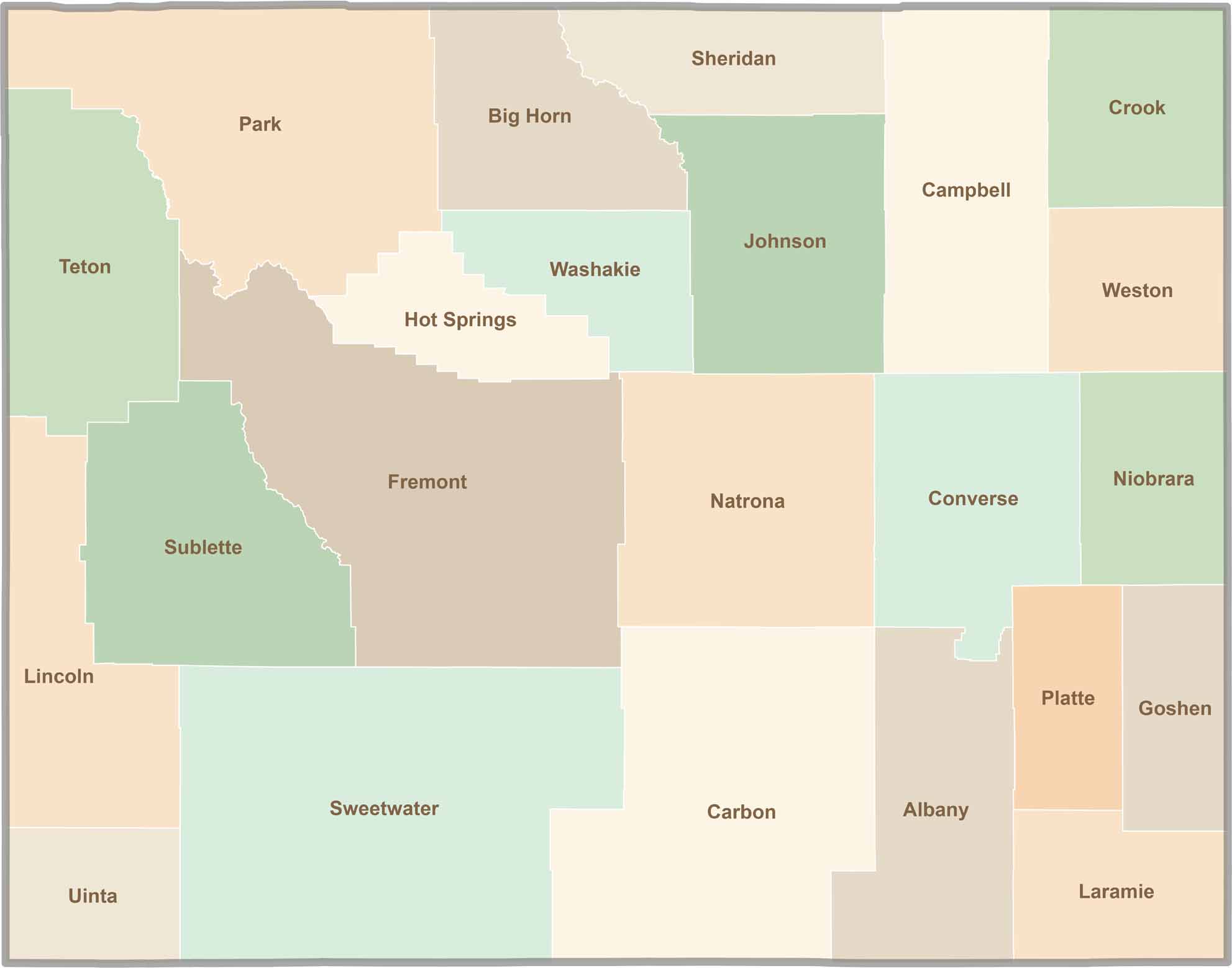
Get ready for endless open skies and unforgettable road trips through Wyoming. Home to 23 vast counties, Wyoming is known for its wide-open landscapes, breathtaking scenery, and peaceful escapes—not crowded cities. It's a destination that's big, bold, and authentically beautiful. Wyoming doesn't have to try to impress visitors; its natural beauty and rugged charm do that effortlessly.