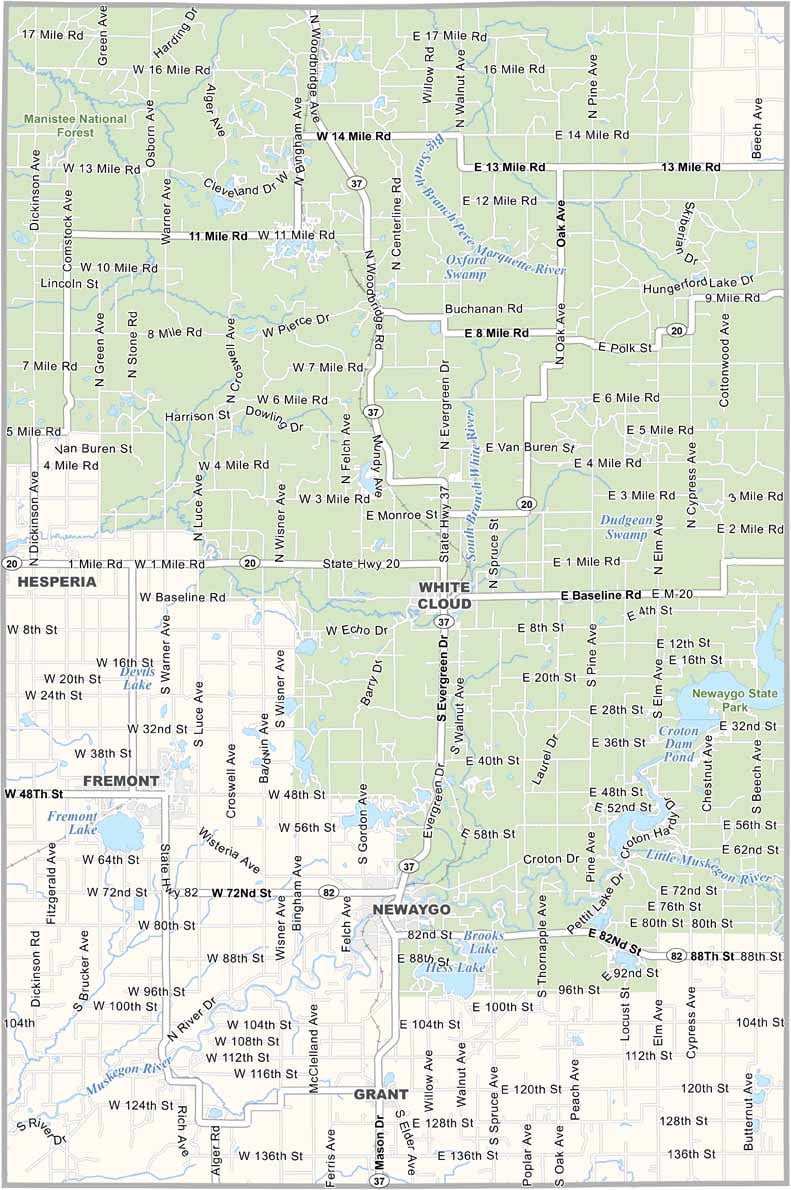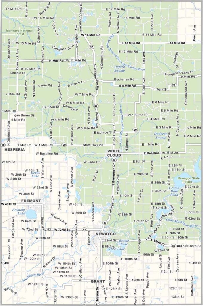
Newaygo County Map, Michigan

Newaygo County, Michigan

Newaygo County is located in Michigan’s Lower Peninsula. Rivers wind through the landscape, offering great opportunities for fishing and kayaking.

The Manistee National Forest covers a large part of the county in the northeast, providing endless hiking trails and camping spots. But Newaygo County isn’t just about the great outdoors.

Small towns like Fremont and Newaygo have their own unique vibe. White Cloud is the county seat. It’s a place where you can truly unplug and reconnect with nature.
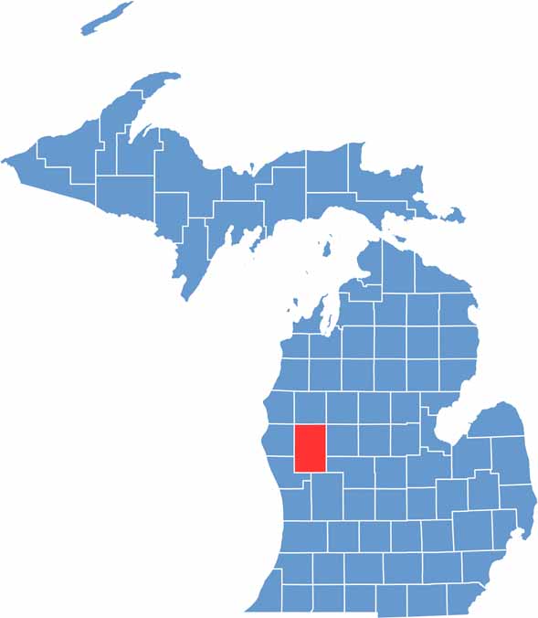

Newaygo County location map of Michigan
CategoryDetails
County NameNewaygo County
County SeatWhite Cloud
Cities, Towns, and CommunitiesFremont, Newaygo, Grant, White Cloud, Hesperia, Croton, Brohman, Bitely
Interstates and HighwaysM-37, M-82
FIPS Code26-123
Total Area (Land and Water)862 square miles (Land: 813 sq mi, Water: 49 sq mi)
Adjacent Counties (and Direction)Mason County (Northwest), Lake County (North), Osceola County (Northeast), Mecosta County (East), Montcalm County (Southeast), Kent County (South), Muskegon County (Southwest), Oceana County (West)
Time ZoneEastern Time Zone (ET)
StateMichigan
Coordinates43.5597° N, 85.7513° W
EtymologyNamed for a Chippewa leader who signed the Saginaw Treaty of 1819
Major LandmarksHardy Dam Pond, Newaygo State Park, Muskegon River, Fremont Lake Park
PopulationApproximately 50,000
Scroll to Top