
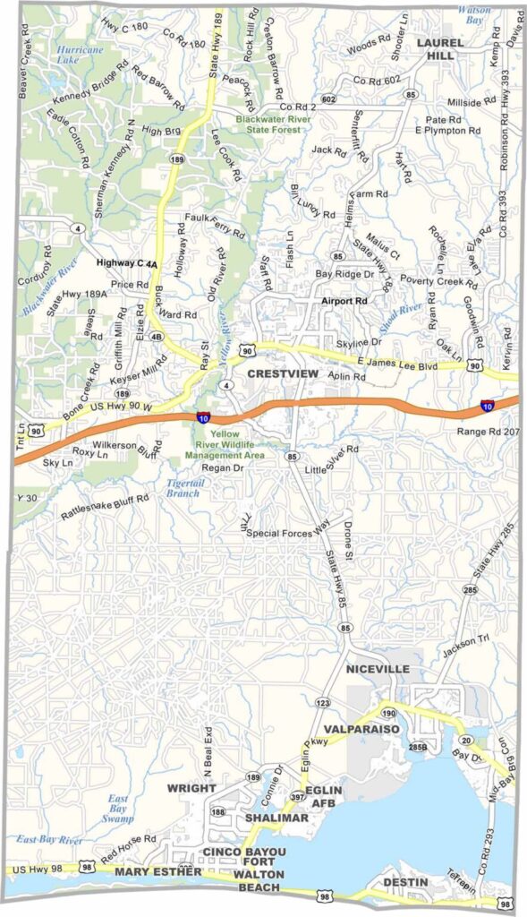
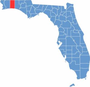
Okaloosa County is located in the Florida Panhandle and is known for its exceptionally white sandy beaches. Fort Walton Beach and Destin are the county’s main coastal communities, forming part of the Emerald Coast, which is famous for its clear, green-blue waters.
Eglin Air Force Base covers a large portion of the county and contributes to its strong military presence. Crab Island, a submerged sandbar near Destin, is a popular summer gathering spot. The area also offers excellent fishing opportunities in the Gulf of Mexico and numerous freshwater locations.
Okaloosa County combines busy tourist destinations with quieter local communities. Traffic can become heavy during peak vacation seasons, while inland areas have a more traditional Southern character. With its mix of military activity, technology, tourism, and coastal living, the county offers a unique blend of Southern hospitality and beach-town culture.
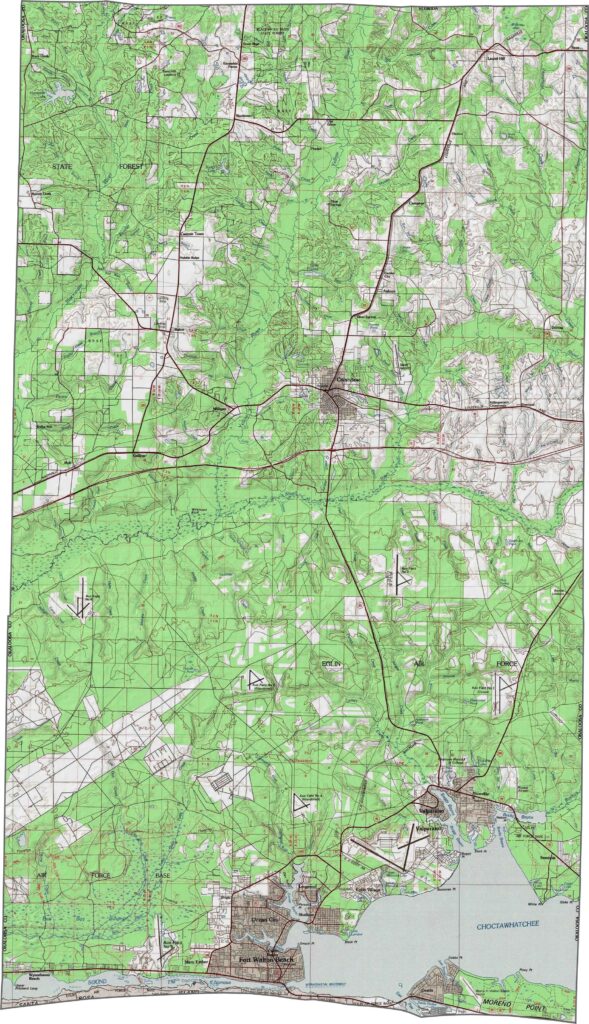
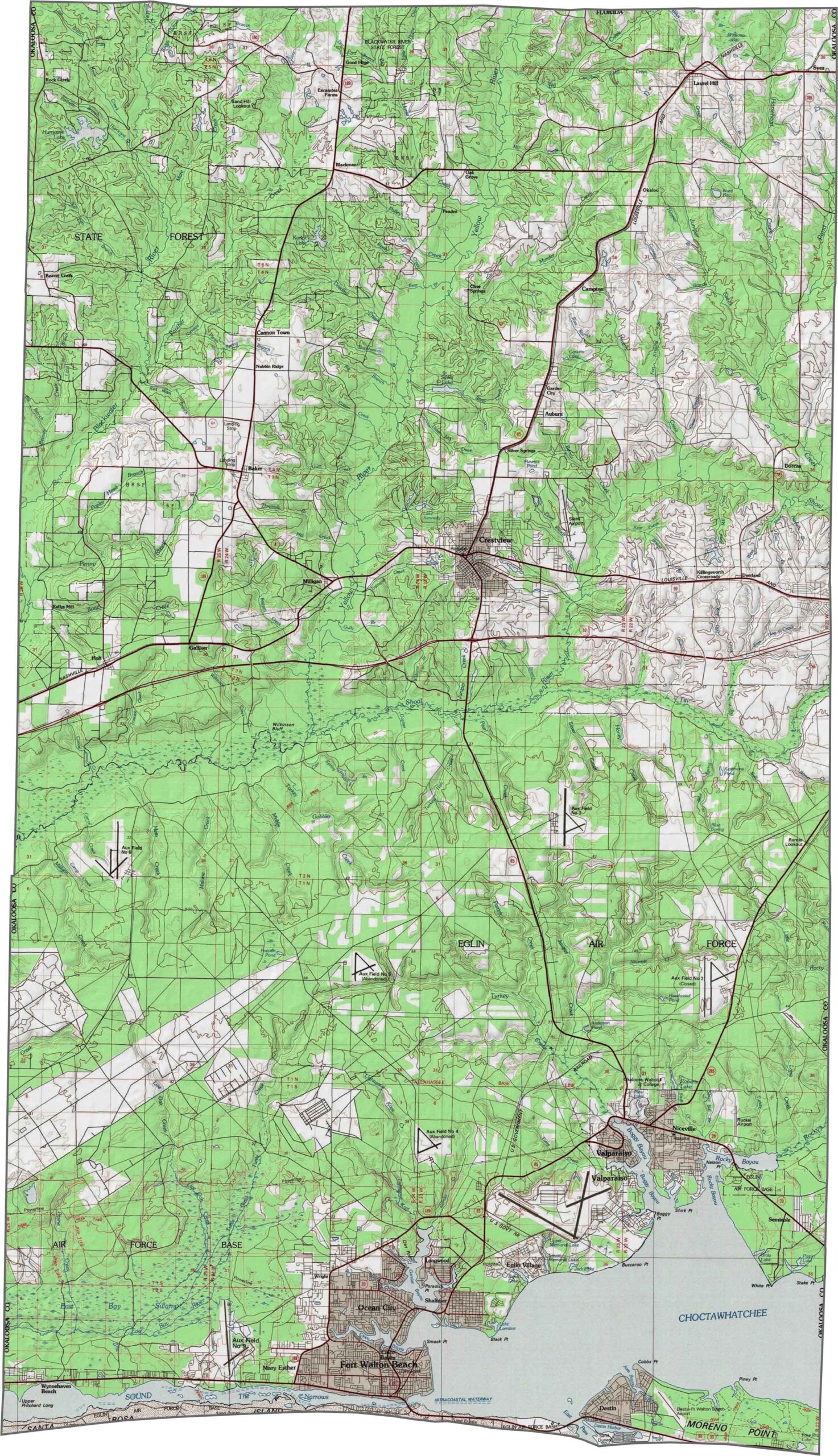
Our Okaloosa County topographic map highlights Eglin Air Force Base across much of the northern pine forests, while Destin’s famous beaches line the southern coast. Use our zoom tool to explore the transition from coastal flatlands to the higher sand hills of the Florida Panhandle.
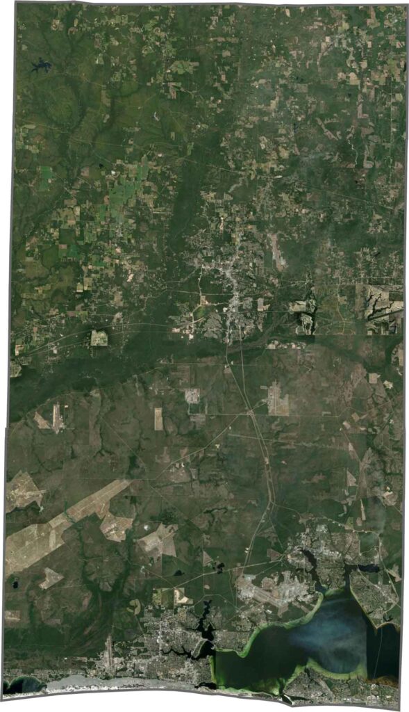
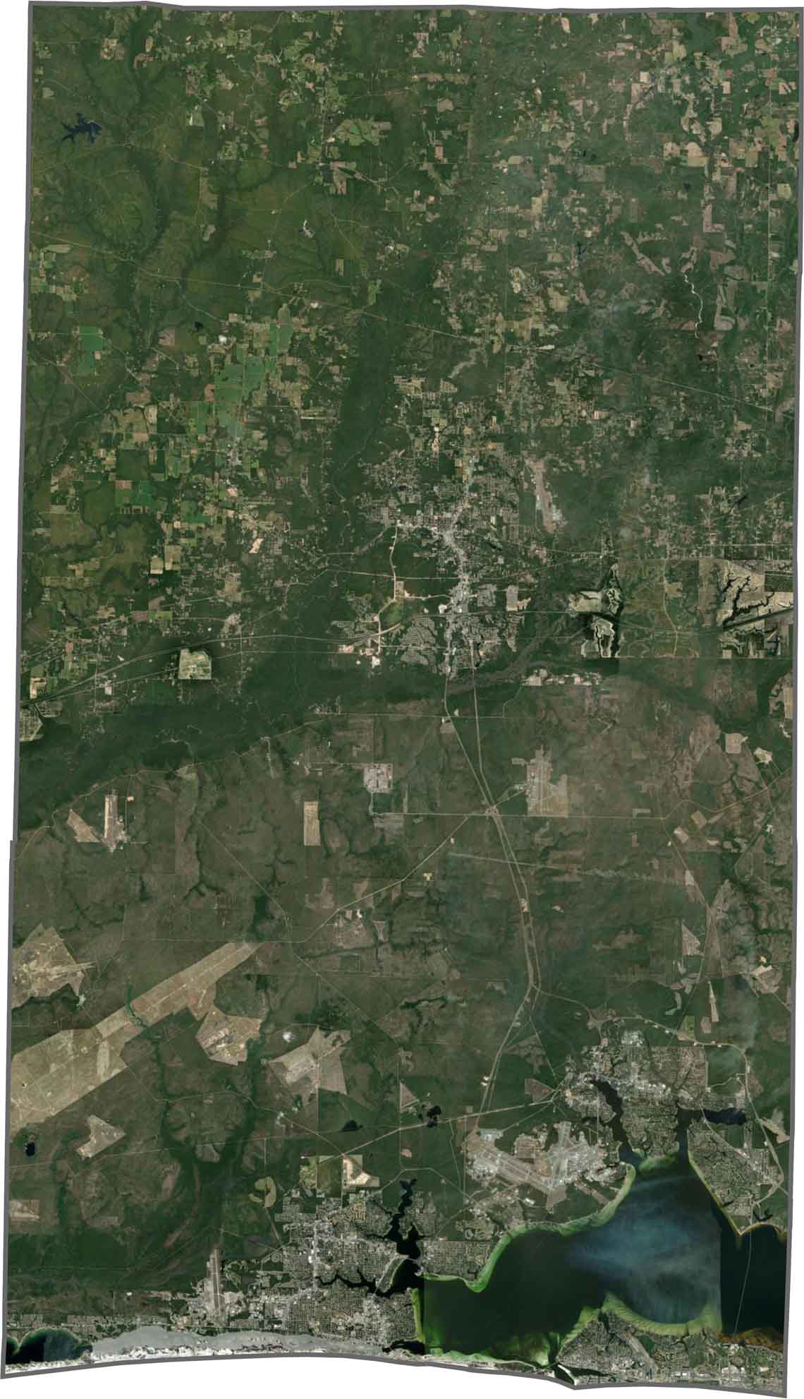
This satellite map shows how Choctawhatchee Bay divides much of the county’s landscape. Fort Walton Beach stretches along the southern shore, while the Shoal and Yellow Rivers help form natural boundaries along the eastern edge. Zoom in to explore the county’s waterways and surrounding landscapes.
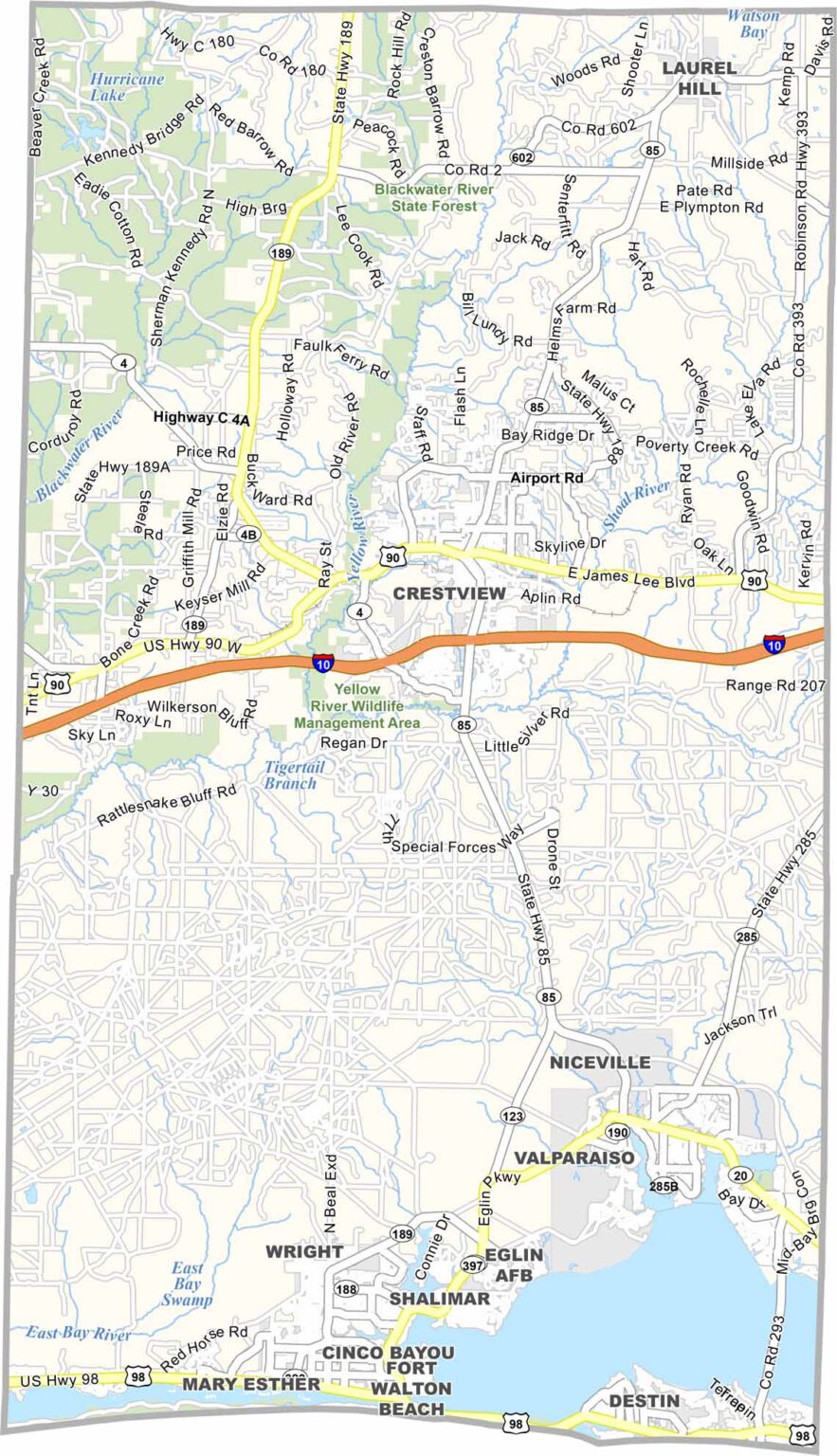
Our blank map of Okaloosa County shows its long, narrow shape stretching from the Alabama border south toward the Gulf Coast. The eastern and western boundaries run nearly parallel, while Choctawhatchee Bay creates a large indentation along the southern portion.








Looking to find a county map of Florida? Our Florida county map breaks down all 67 counties. Explore the Sunshine State with detailed topographic, satellite, and outline maps.