
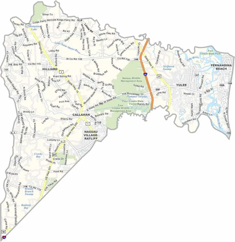
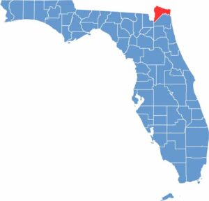
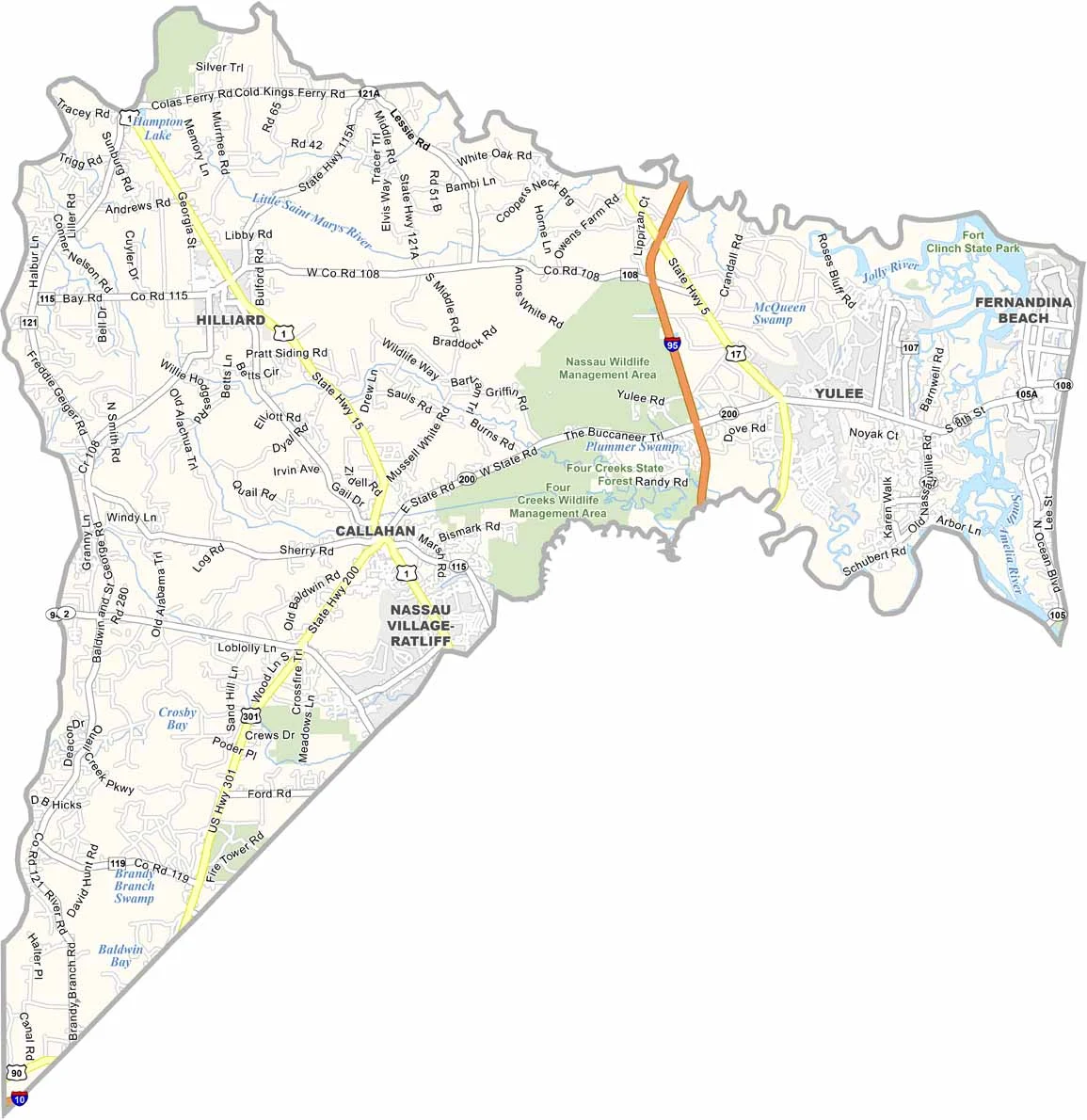
Nassau County is located in northeast Florida, just north of Jacksonville along the Georgia border. Fernandina Beach, situated on Amelia Island, serves as the county seat and is its main coastal attraction.
Amelia Island features 13 miles of beaches and a charming historic district. Inland, Nassau County is mostly rural, with communities such as Yulee and Callahan. The county has deep roots in shrimping and the paper mill industry, while new development continues to bring changes to the area.
Fort Clinch State Park offers camping, beaches, and Civil War history. Cumberland Island, just across the Georgia state line, is known for its wild horses and undeveloped coastline. Nassau County combines rural communities, coastal recreation, and historic charm, making it possible to enjoy fishing in the morning and a beautiful beach sunset in the evening.
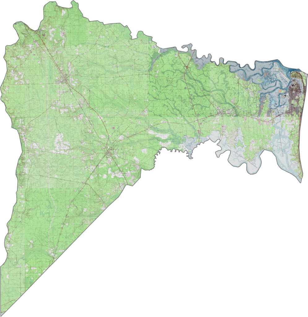
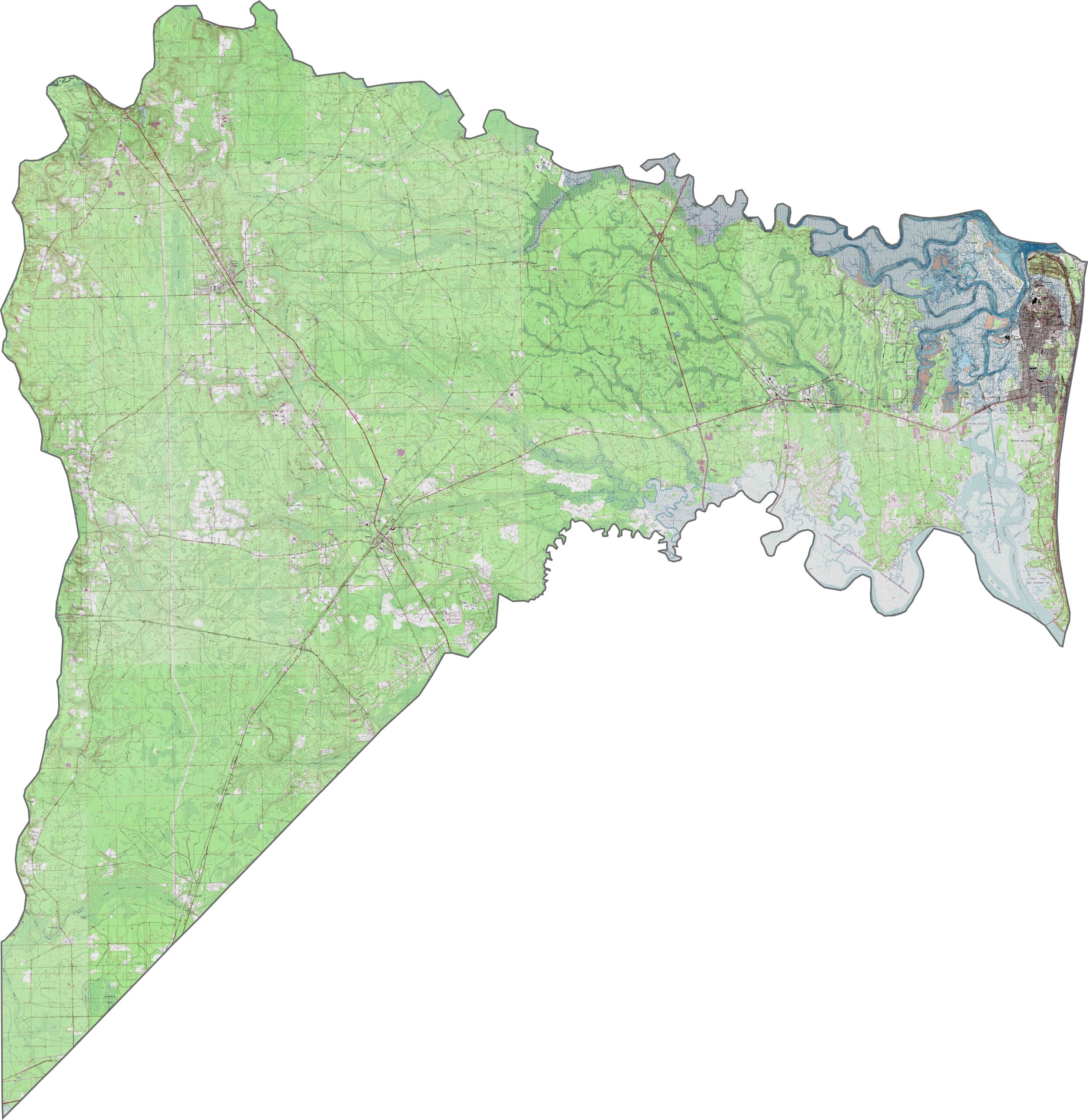
This topographic map of Nassau County highlights a mix of coastal and inland terrain. Amelia Island’s sandy beaches contrast with the extensive forests and wetlands that cover much of the western part of the county. Use our zoom tool to explore these changes in the landscape.
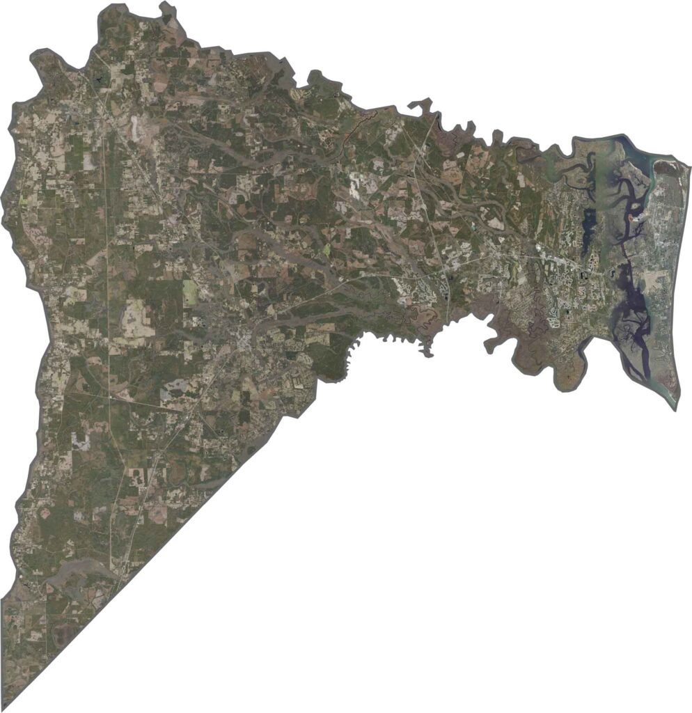
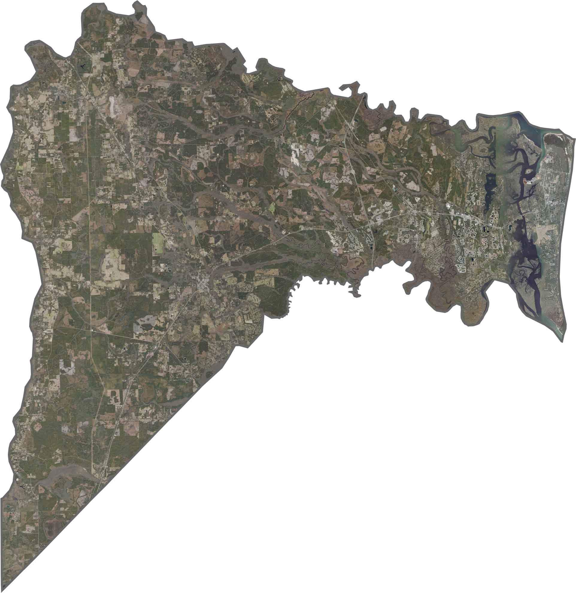
Our satellite map captures Nassau County’s barrier islands, dense forests, and coastal marshlands. The St. Marys River forms the northern border with Georgia, while Fernandina Beach appears near the northern end of Amelia Island. Zoom in to explore the county’s coastal and inland features.
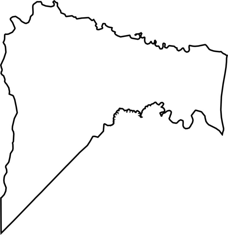
Our blank map shows Nassau County’s irregular shape, with the Atlantic Ocean forming its eastern boundary and the St. Marys River defining its northern border with Georgia. The county becomes noticeably wider toward the western end, creating a distinctive outline.








Looking to find a county map of Florida? Our Florida county map breaks down all 67 counties. Explore the Sunshine State with detailed topographic, satellite, and outline maps.