
You might not have heard of Olmsted County, but chances are you know its biggest claim to fame: the Mayo Clinic. This southeastern Minnesota county is where world-class medicine meets small-town charm.
It's not just about the Mayo Clinic, though that's a big deal. Outside the city limits, rolling hills and fertile fields stretch far and wide.
The Zumbro River cuts through the county, and there's a real sense of pride in Olmsted County. It's a mix of lab coats and farmland here.
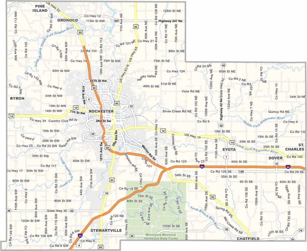
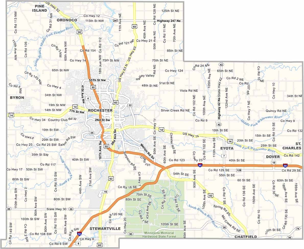
Olmsted County has highways like U.S. Highway 52, which slices straight down the county, while Interstate 90 runs along the southern edge. Zoom in on our map to see where each highway goes.
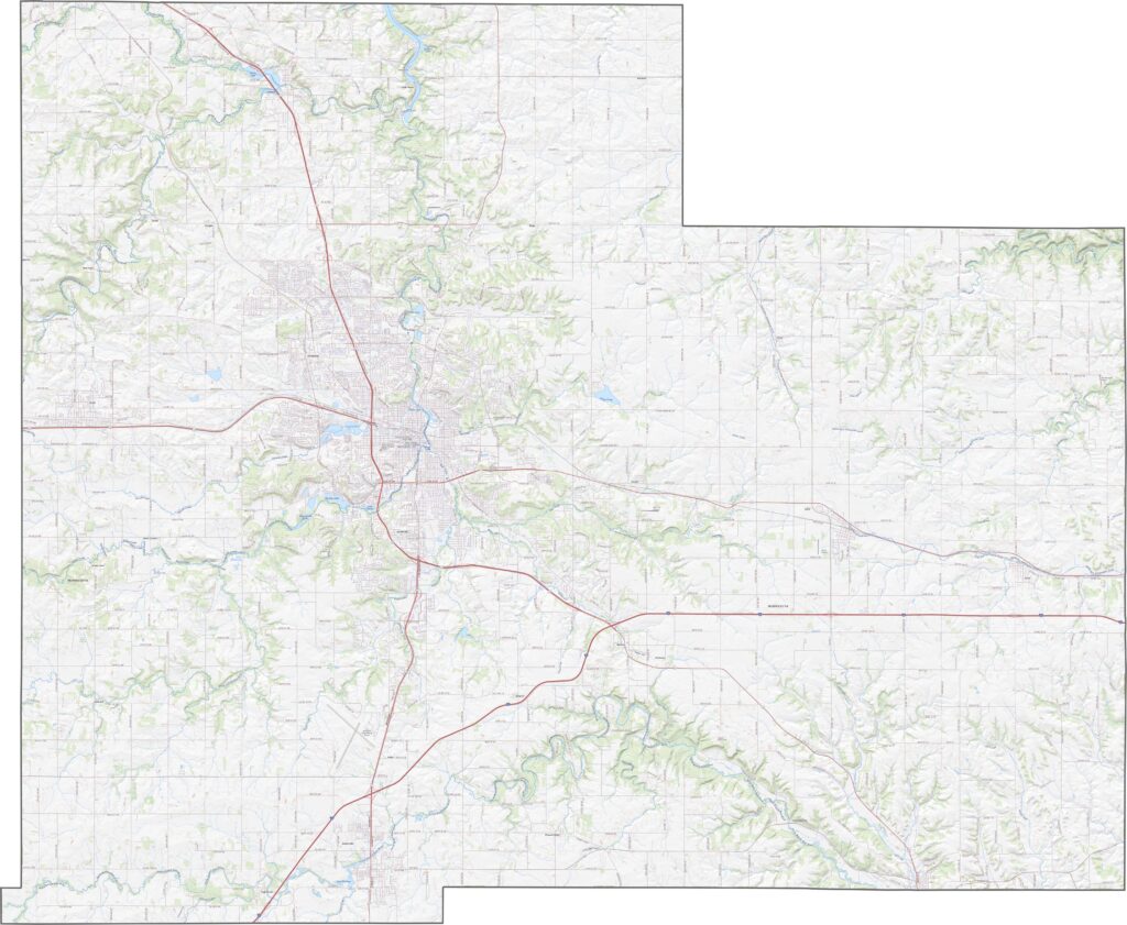
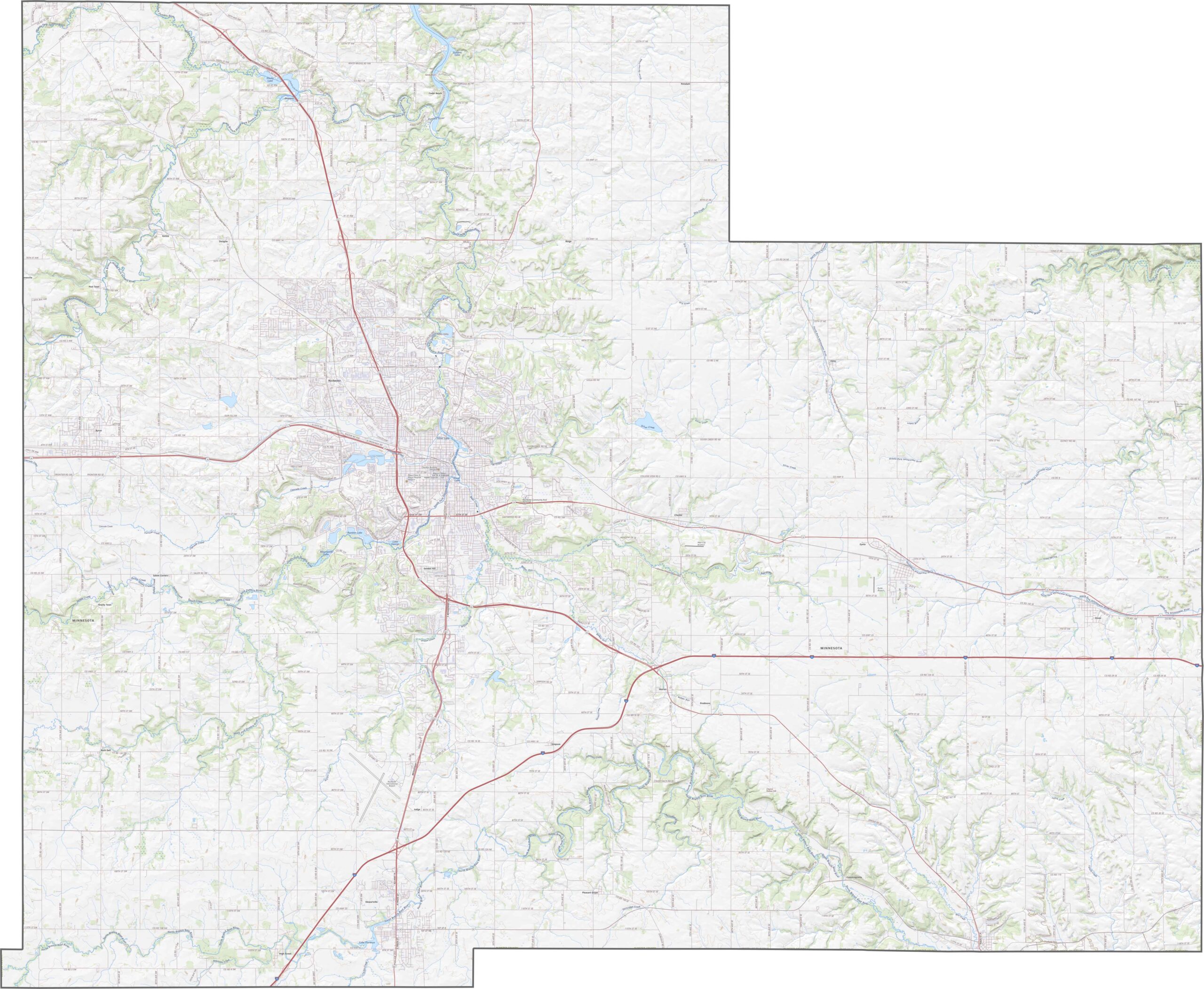
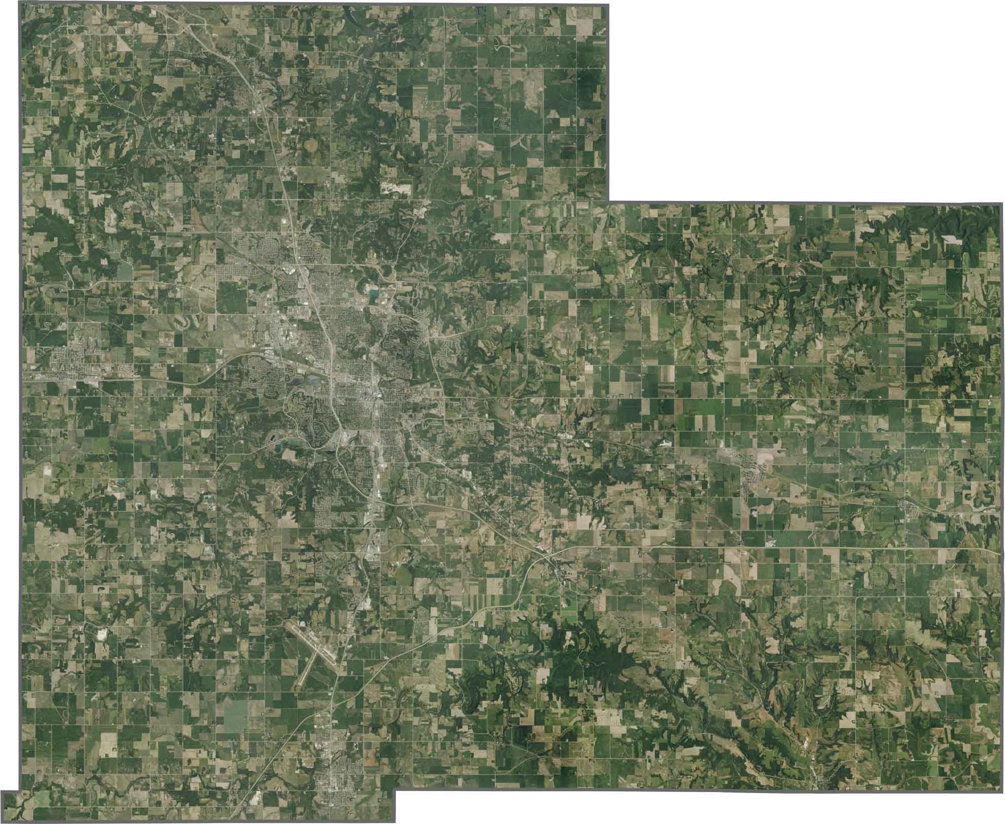
Olmsted County looks like farmland with a big city in the middle. Rochester spreads out wide, but fields fill most of the space. The Zumbro River snakes across the county because it cuts right through town, and green forests pop up in every direction.
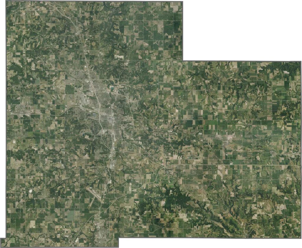
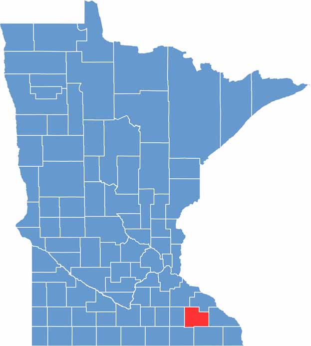
Olmsted County has a stretched rectangular shape. Though no rivers form the borders, you'll see straight survey lines all around. It borders only Minnesota counties and no other states.








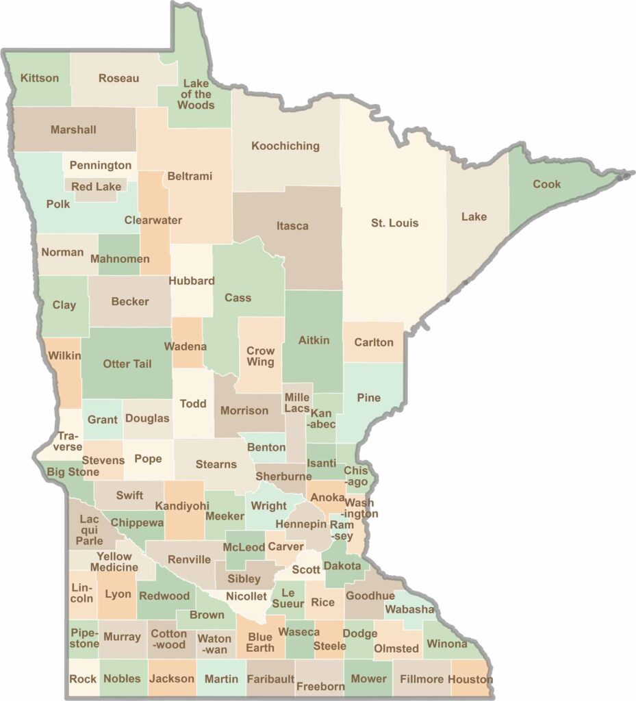
Land of 10,000 Lakes? How about the land of 87 counties to explore? Say hello to Hennepin County (Minneapolis) or the shores of Lake Superior. Get to know all the counties of Minnesota right here.