
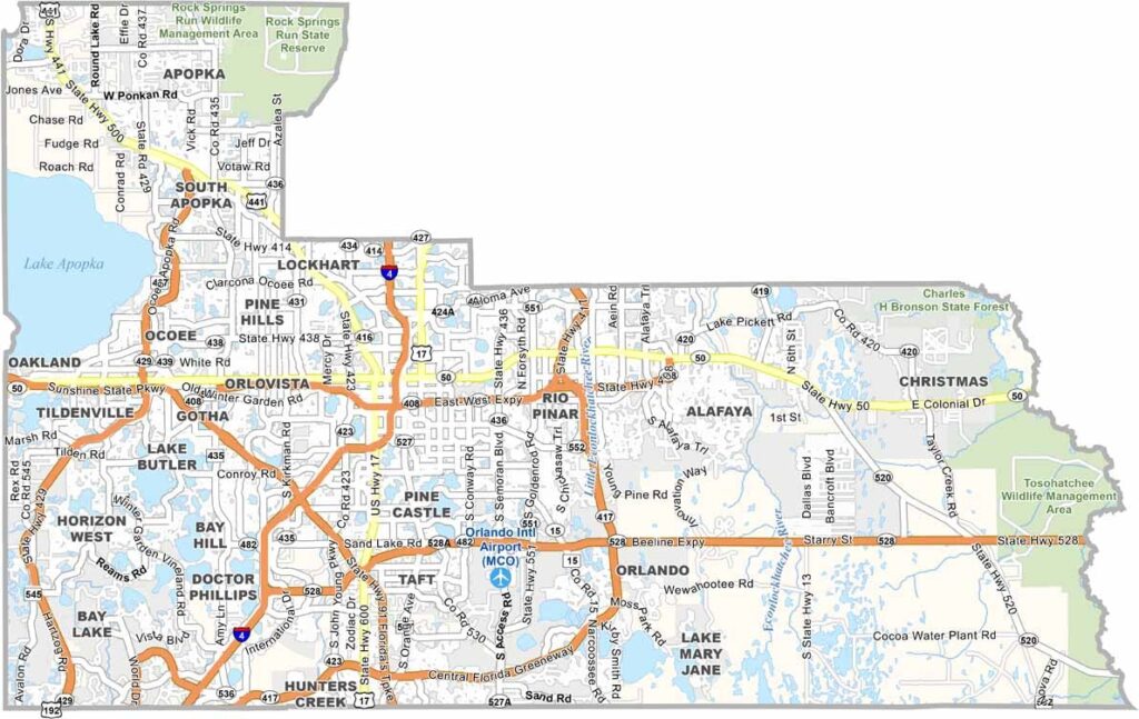
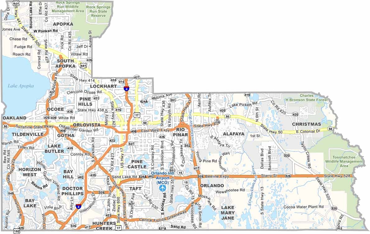
Don’t be confused, this isn’t Orange County in California. Florida’s Orange County is home to Orlando, the county seat and a major destination for visitors from around the world. Walt Disney World and Universal Orlando Resort attract millions of tourists each year, making tourism a major part of the local economy.
But there’s more to Orange County than theme parks. Downtown Orlando has a growing food, arts, and entertainment scene, while Winter Park is known for upscale shops, beautiful neighborhoods, and scenic boat tours through cypress-lined waterways. The county also has numerous lakes that provide opportunities for fishing, boating, and other water activities.
The University of Central Florida brings a youthful energy to the eastern part of the county. Traffic can be heavy, especially around the major attractions, but Orange County offers plenty of local experiences away from the tourist areas. It’s a place where you can enjoy a world-class theme park in the morning and discover live music, restaurants, and local culture in the evening.
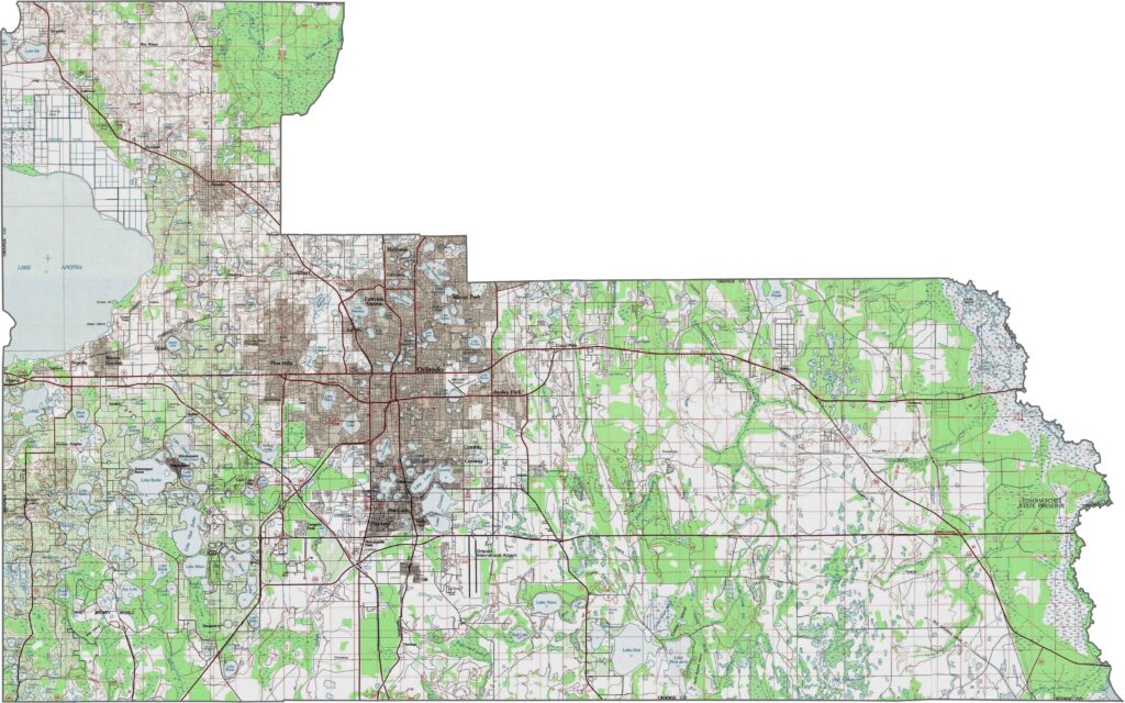
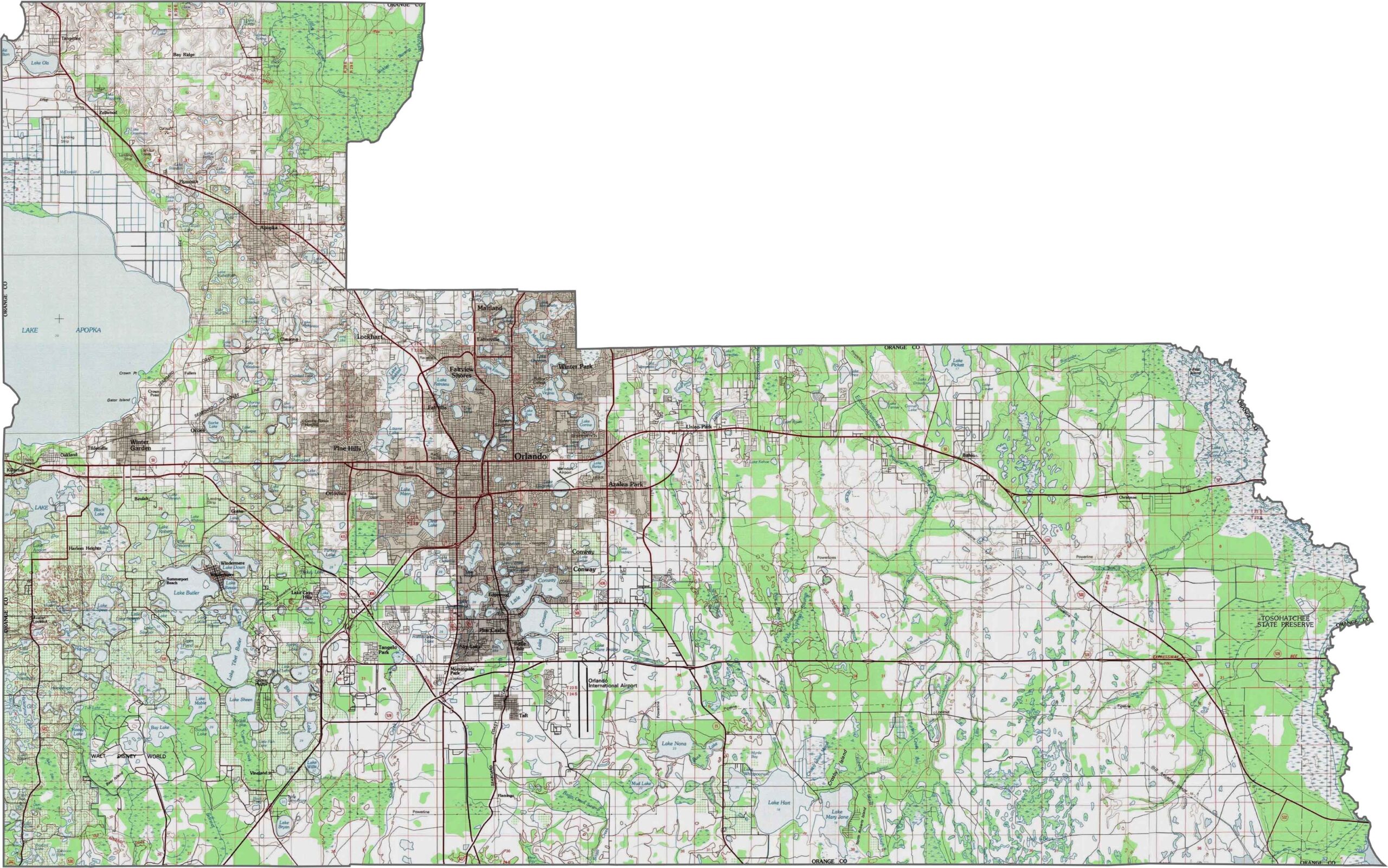
Our Orange County topographic map showcases a landscape dominated by lakes, with more than 100 named bodies of water. Use our zoom tool to explore the southern portions, where the terrain gradually transitions into flatter wetland areas.
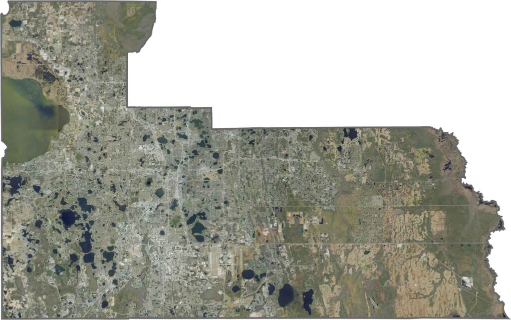
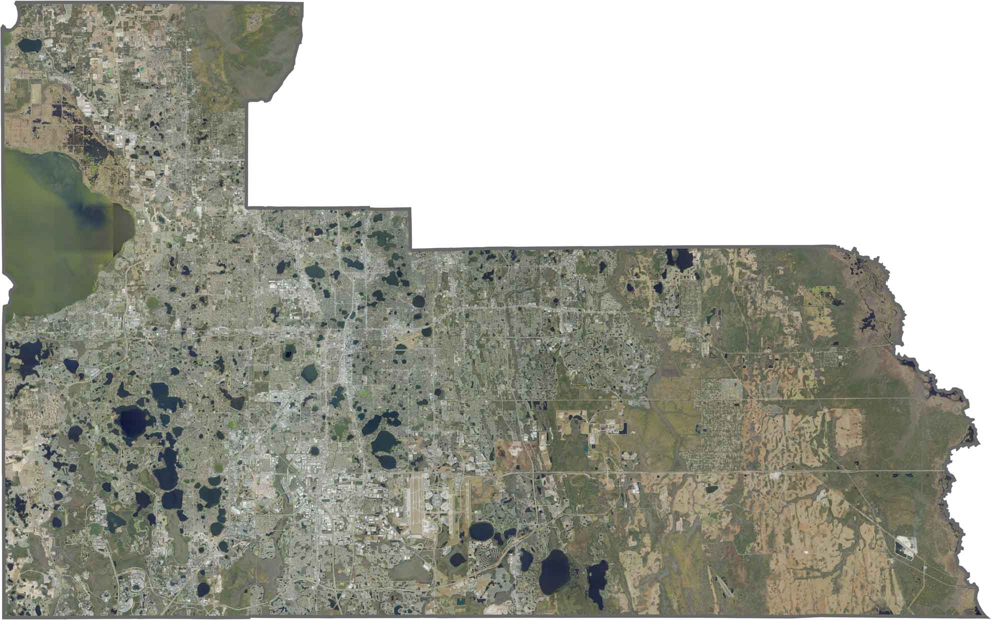
Orange County is best known for its urban core in Orlando, but our satellite map also reveals its many lakes, conservation areas, and green spaces. The central and southern portions feature a mix of residential developments, theme parks, and natural areas, while the western and northern sections contain more extensive wetlands. Zoom in to see how water shapes the county’s landscape and development.
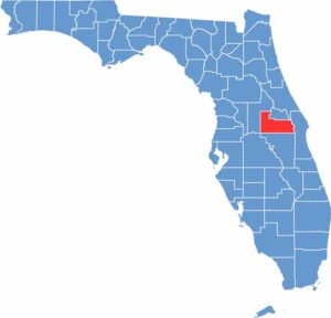
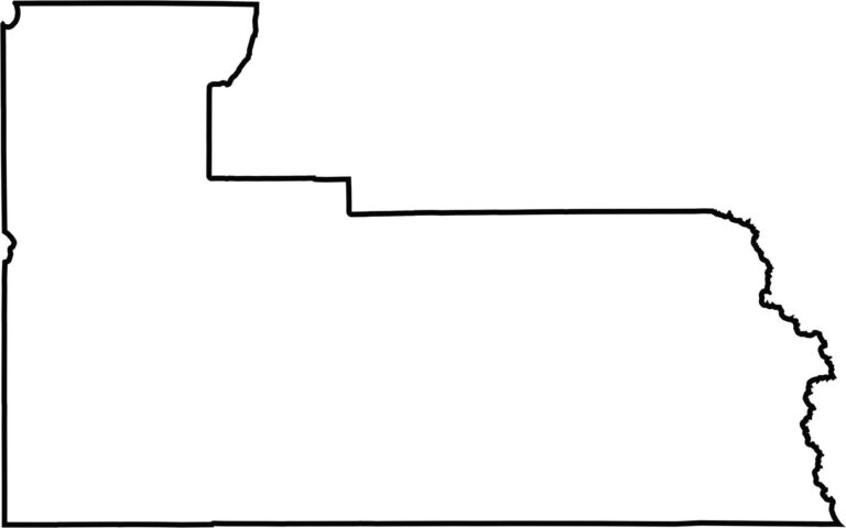
Orange County is located in central Florida and has an irregular shape influenced by lakes, rivers, historic land grants, and transportation routes. These features create an uneven boundary that gives the county its distinctive outline.








Looking to find a county map of Florida? Our Florida county map breaks down all 67 counties. Explore the Sunshine State with detailed topographic, satellite, and outline maps.